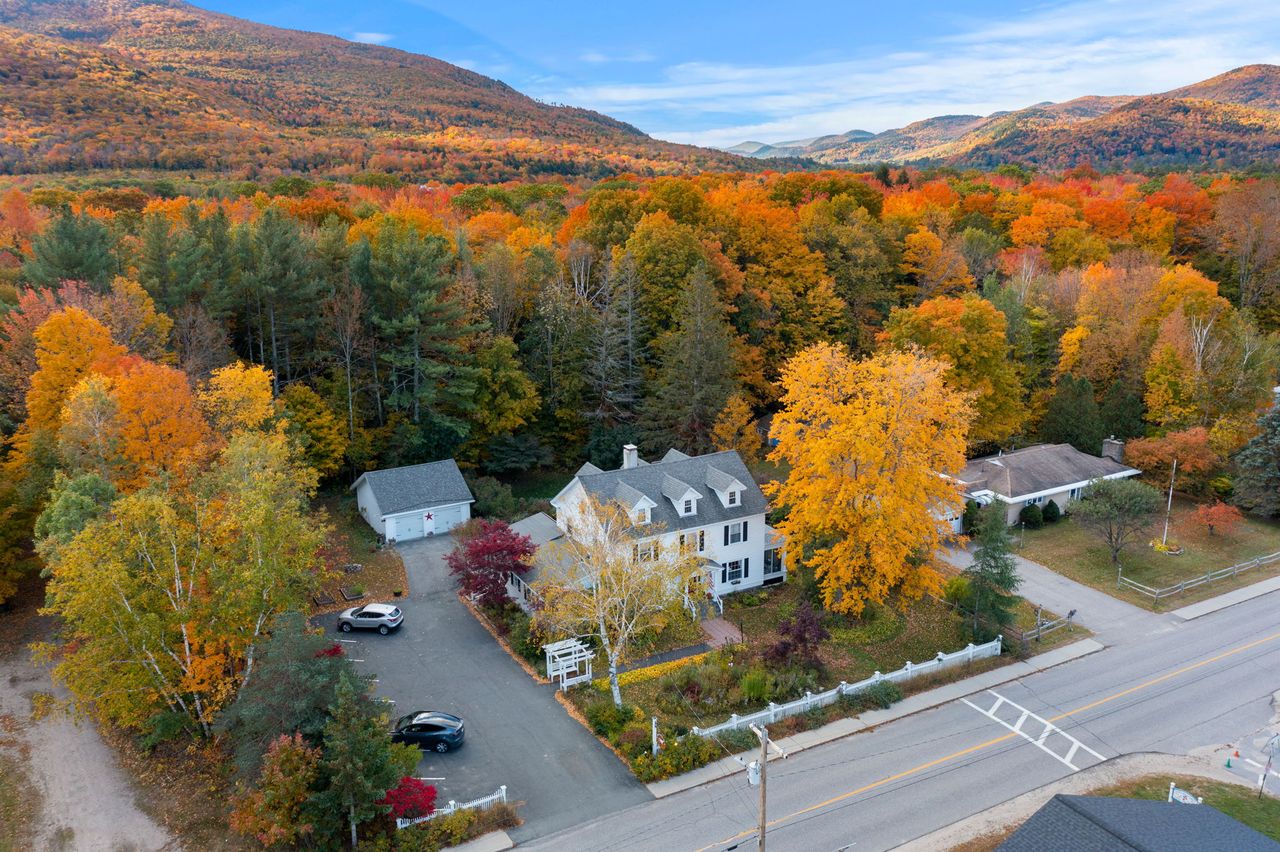
 You stay hereLaunchpoint Lodge
191 Pollard Rd, Lincoln, NH 03251. Six adults-only suites in a restored 1902 colonial in the middle of Lincoln. Every drive time on this map starts at our door.
The lodge →
Explore
Discover LincolnLandmarks and parks, up closeThe mapEvery place on this site, pinnedHikes & WaterfallsTrails, summits and waterfallsItinerariesReady-made trip plansRoad TripsRoutes in from your cityGuidesLong-form planning guidesAnswersQuestions guests ask, answeredBlogNotes and stories from the lodgeThe six suites
No. 01Artist BluffNo. 02KinsmanNo. 03HancockNo. 04BasinNo. 05NotchNo. 06PemiFind us
191 Pollard Rd, Lincoln, NH 03251
603-745-7220
[email protected]
The map
Every landmark, summit, waterfall and in-town guide on this site, on satellite imagery, with the drive time from our door. A card finds its pin, a pin shows its card, and every page is one tap away.
Imagery: USGS The National Map · Roads © OpenStreetMap contributors · Leaflet
Launchpoint LodgeYou stay here · The lodgeOpen →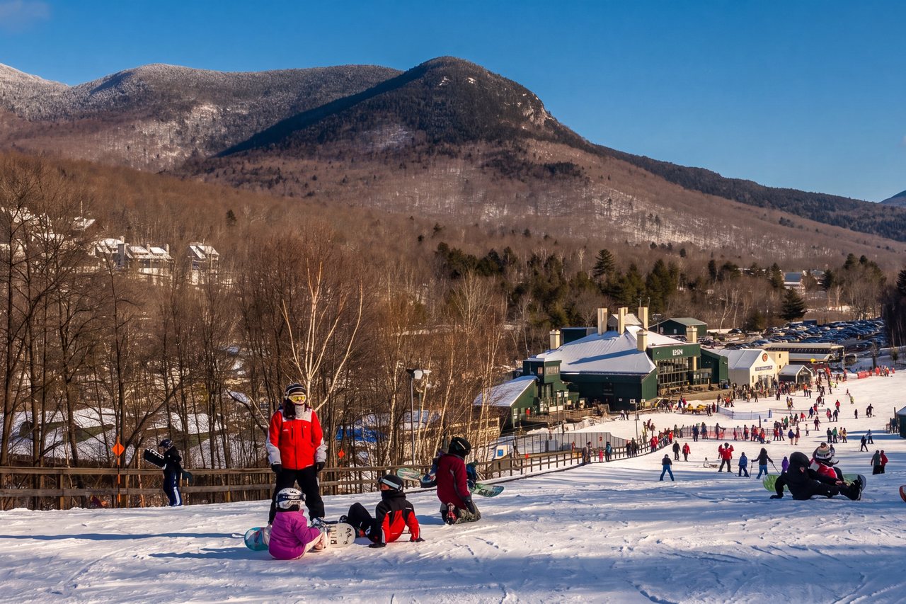 Loon Mountain6 min · Landmarks & parksOpen →
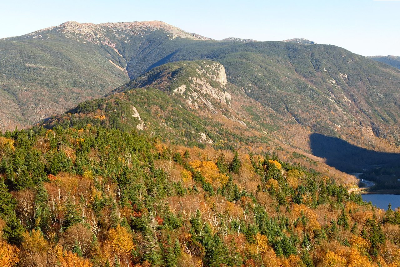 Franconia Notch State Park10 min · Landmarks & parksOpen →
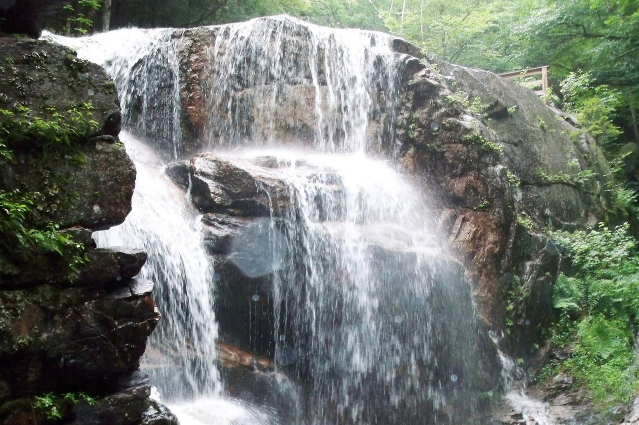 Flume Gorge12 min · Landmarks & parksOpen →
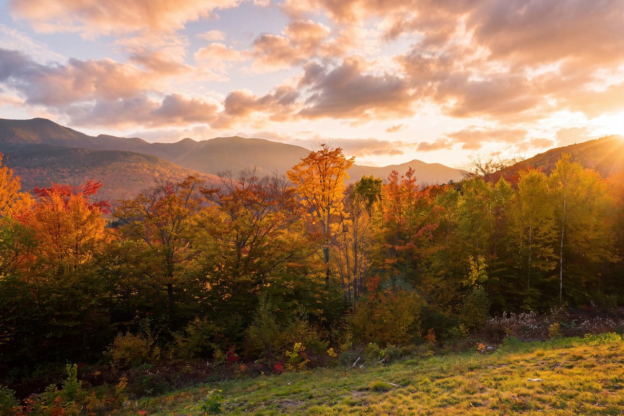 The Kancamagus Highway4 min · Landmarks & parksOpen →
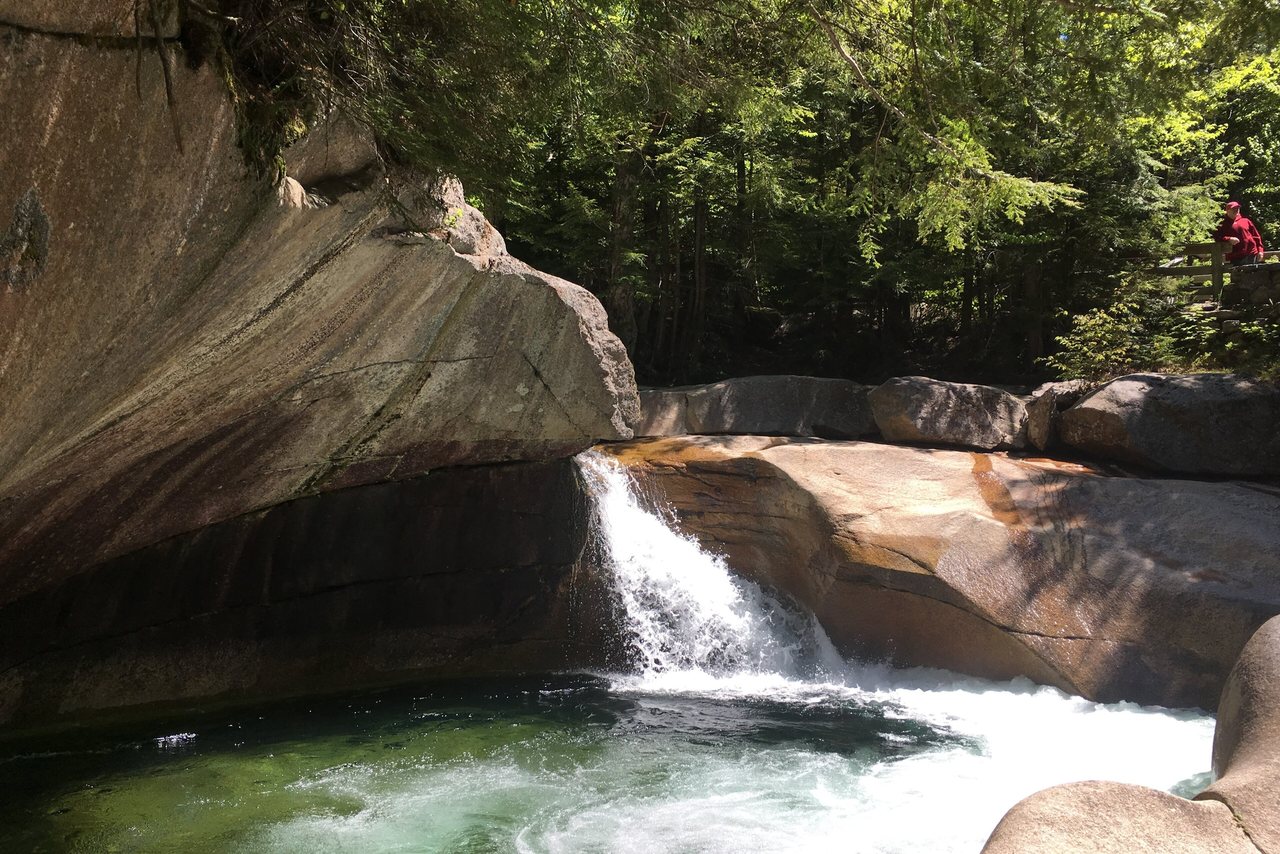 The Basin14 min · Landmarks & parksOpen →
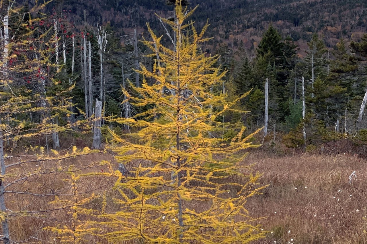 Lonesome Lake12 min · Landmarks & parksOpen →
 Georgiana Falls5 min · Landmarks & parksOpen →
 Sabbaday Falls30 min · Landmarks & parksOpen →
 Rocky Gorge Scenic Area40 min · Landmarks & parksOpen →
 Echo Lake Beach17 min · Landmarks & parksOpen →
 Old Man of the Mountain16 min · Landmarks & parksOpen →
 Cannon Mountain Aerial Tramway16 min · Landmarks & parksOpen →
 Lost River Gorge12 min · Landmarks & parksOpen →
 Clark's Bears4 min · Landmarks & parksOpen →
 Granite State Railway3 min · Landmarks & parksOpen →
 Café Lafayette Dinner Train2 min · Landmarks & parksOpen →
 Whale's Tale Waterpark5 min · Landmarks & parksOpen →
 Alpine Adventures3 min · Landmarks & parksOpen →
 Polar Caves Park35 min · Landmarks & parksOpen →
 Squam Lake40 min · Landmarks & parksOpen →
 Mount Washington Cog Railway55 min · Landmarks & parksOpen →
 Franconia Ridge Loop12 min · Summits & ridgesOpen →
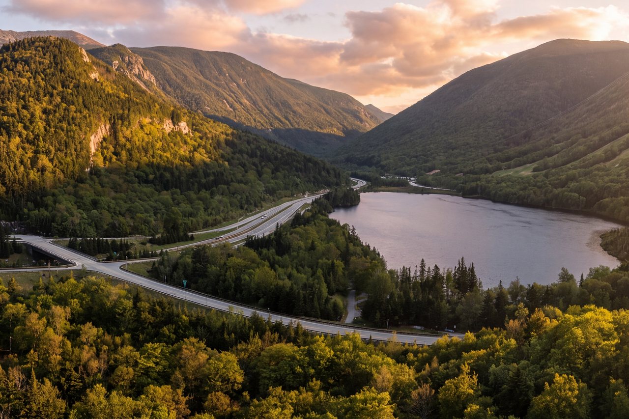 Artist Bluff9 min · Waterfalls & walksOpen →
 Lonesome Lake Trail12 min · Summits & ridgesOpen →
 Mount Pemigewasset12 min · Summits & ridgesOpen →
 Welch–Dickey Loop28 min · Summits & ridgesOpen →
 Franconia Falls9 min · Waterfalls & walksOpen →Serendipity Loop6 min · Waterfalls & walksOpen →
 Lower Falls40 min · Waterfalls & walksOpen →
 Diana's Baths40 min · Waterfalls & walksOpen →
 Arethusa Falls40 min · Waterfalls & walksOpen →
 Ripley Falls40 min · Waterfalls & walksOpen →
 Beaver Brook Cascades20 min · Waterfalls & walksOpen →
 Cloudland Falls12 min · Waterfalls & walksOpen →
 Mount Lafayette12 min · Summits & ridgesOpen →
 Mount Lincoln12 min · Summits & ridgesOpen →
 Little Haystack Mountain12 min · Summits & ridgesOpen →
 Mount Liberty14 min · Summits & ridgesOpen →
 Mount Flume14 min · Summits & ridgesOpen →
 Cannon Mountain, on foot16 min · Summits & ridgesOpen →
 North & South Kinsman12 min · Summits & ridgesOpen →
 The Pemi Loop9 min · Summits & ridgesOpen →
 Owl's Head9 min · Summits & ridgesOpen →
 The Bonds9 min · Summits & ridgesOpen →
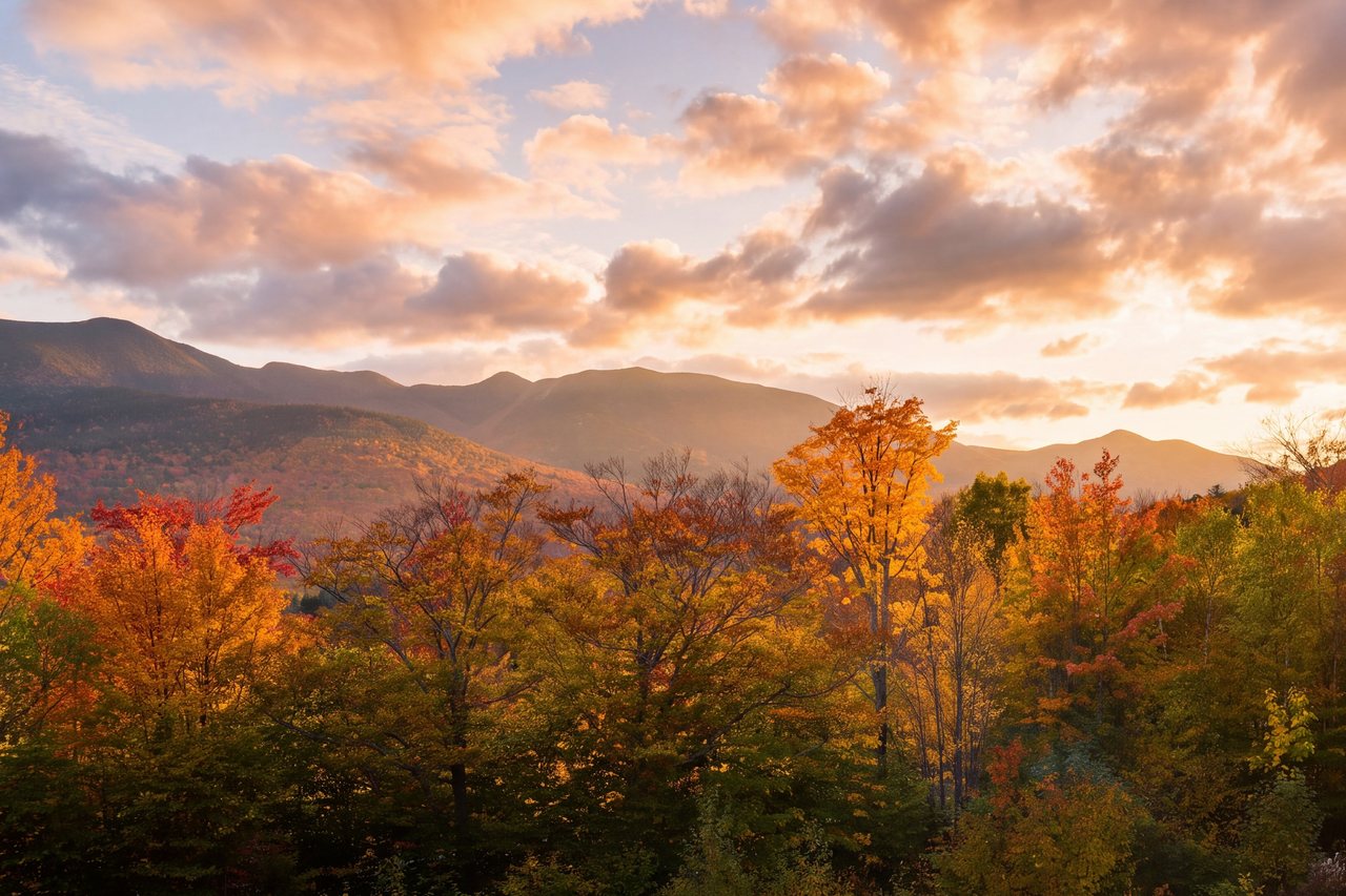 North & South Hancock25 min · Summits & ridgesOpen →
 Hedgehog Mountain30 min · Summits & ridgesOpen →Potash Mountain30 min · Summits & ridgesOpen →
 Mount Chocorua38 min · Summits & ridgesOpen →
 Mount Carrigain40 min · Summits & ridgesOpen →
 Mount Osceola27 min · Summits & ridgesOpen →
 Mount Tecumseh30 min · Summits & ridgesOpen →
 North & Middle Tripyramid30 min · Summits & ridgesOpen →
 Mount Garfield25 min · Summits & ridgesOpen →
 Galehead Mountain25 min · Summits & ridgesOpen →
 North & South Twin30 min · Summits & ridgesOpen →
 Mount Hale35 min · Summits & ridgesOpen →
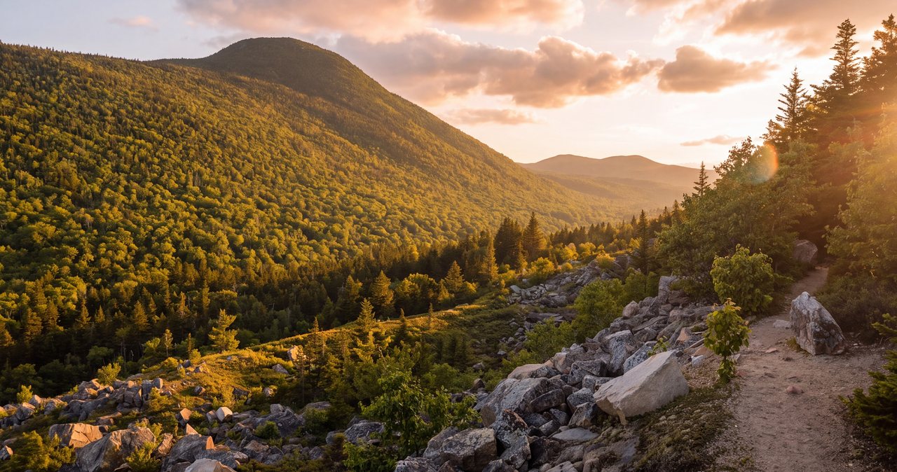 Middle Sugarloaf35 min · Waterfalls & walksOpen →
 Mount Willard40 min · Waterfalls & walksOpen →
 Mounts Tom, Field & Willey42 min · Summits & ridgesOpen →
 Mount Jackson42 min · Summits & ridgesOpen →
 Mount Pierce43 min · Summits & ridgesOpen →
 Mount Eisenhower45 min · Summits & ridgesOpen →
 Mount Washington, on foot50 min · Summits & ridgesOpen →
 Mount Moosilauke30 min · Summits & ridgesOpen →
 The Pemi Trail16 min · Waterfalls & walksOpen →Agassiz Basin6 min · Waterfalls & walksOpen →
 Bridal Veil Falls20 min · Waterfalls & walksOpen →
 East Pond15 min · Waterfalls & walksOpen →
 Greeley Ponds20 min · Waterfalls & walksOpen →Boulder Loop Trail40 min · Waterfalls & walksOpen →
 Zealand Falls40 min · Waterfalls & walksOpen →
 Elephant Head & Mount Avalon40 min · Summits & ridgesOpen →
 Mount Crawford45 min · Summits & ridgesOpen →
 Nancy Cascades45 min · Waterfalls & walksOpen →
 Black Mountain40 min · Summits & ridgesOpen →
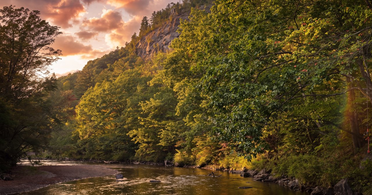 Stinson Mountain40 min · Summits & ridgesOpen →
 West Rattlesnake Mountain40 min · Waterfalls & walksOpen →
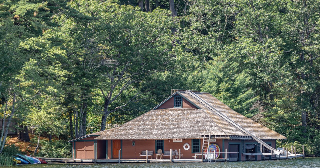 Morgan & Percival40 min · Summits & ridgesOpen →
 Where to eatLincoln, in town · Eat, drink, in townOpen →Skiing near Lincoln6 min · Landmarks & parksOpen →Swimming holesFranconia Notch and the Kanc · Waterfalls & walksOpen →
 BreweriesNorth Woodstock · Eat, drink, in townOpen →
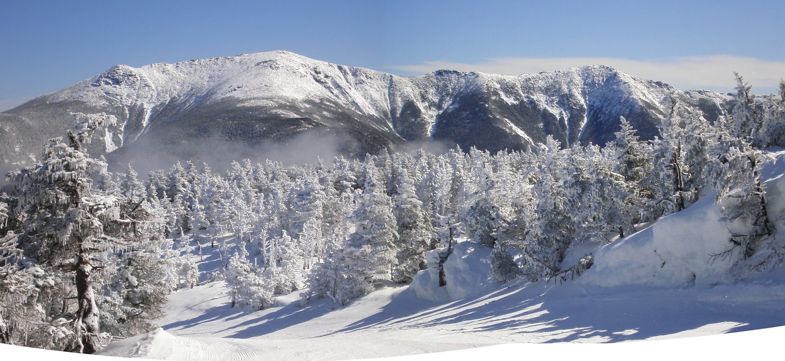 XC ski & snowshoe trailsFranconia Notch · Waterfalls & walksOpen →
 StargazingThe Kancamagus · Landmarks & parksOpen →
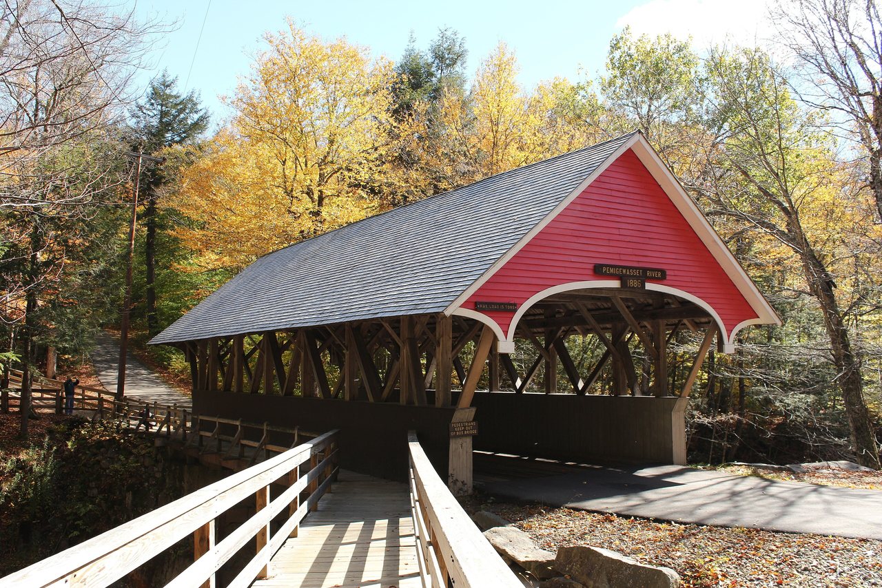 Coffee & provisionsLincoln, in town · Eat, drink, in townOpen →
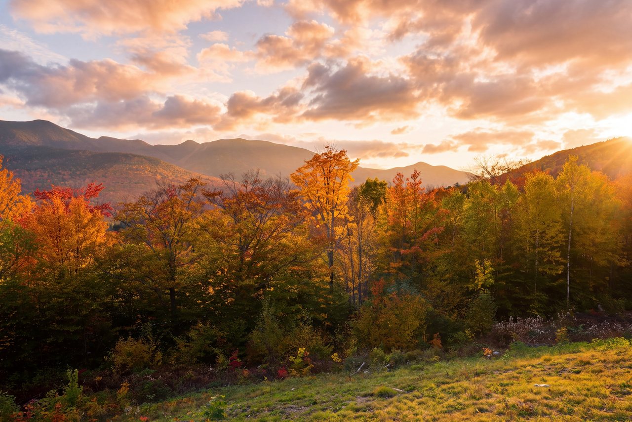 EV chargingLincoln · Eat, drink, in townOpen →
 Family activitiesRoute 3, Lincoln · Eat, drink, in townOpen →
 Rainy-day & free thingsLincoln, in town · Eat, drink, in townOpen →Weddings & small eventsLincoln, in town · Eat, drink, in townOpen →Lincoln after darkNorth Woodstock · Eat, drink, in townOpen →Breakfast in LincolnLincoln, in town · Eat, drink, in townOpen →Pizza in LincolnLincoln, in town · Eat, drink, in townOpen →Wine, spa & slow daysLoon base, Lincoln · Eat, drink, in townOpen →
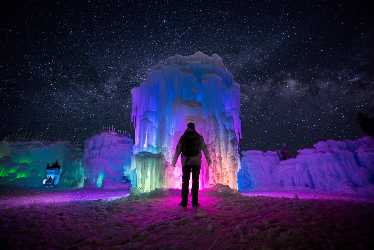 Ice Castles5 min · Landmarks & parksOpen →Franconia Notch bike path12 min · Waterfalls & walksOpen →
 Where to see a mooseRoute 112 west · Waterfalls & walksOpen →You stay hereLaunchpoint Lodge
191 Pollard Rd, Lincoln, NH 03251. Six adults-only suites in a restored 1902 colonial in the middle of Lincoln. Every drive time on this map starts at our door.
Year-round mountain resort — skiing in winter, a scenic gondola and adventures in the warm months
An eight-mile glacial notch and state park in the White Mountain National Forest
An 800-foot granite gorge in Franconia Notch, 12 min up the road. The classic first-morning walk in…
National Scenic Byway on NH Route 112, Lincoln to Conway
A glacial granite pothole, about 20 feet across, on the Pemigewasset River
Glacial mountain pond, about 2,730 ft
A wooded waterfall hike to a 30-foot cascade and pool on Harvard Brook, with taller Harvard Falls beyond
A three-tiered waterfall in a granite flume on Sabbaday Brook, in the White Mountain National Forest
A scenic gorge where the Swift River cuts through granite, with a footbridge and a pond loop
A small state-park beach at the north end of Franconia Notch, with Cannon's cliffs on one side, Artist Bluff…
New Hampshire's granite face fell in 2003. Profile Plaza on the lakeshore below puts it back with seven steel…
The tram that carried skiers and sightseers up Cannon for 45 years made its last run in October 2025. Here is…
A mile of boardwalks and ladders through a glacial gorge in Kinsman Notch, with eleven boulder caves you can…
Trained black bears, a steam train that gets robbed by the Wolfman, a segway park and a museum of everything…
Lincoln's tourist railroad runs about fifteen miles down the river and back on vintage coaches — a…
A restored 1950s dome car and dining cars roll twenty miles down the Pemigewasset while a five-course dinner…
Slides, a wave pool, a lazy river and a lot of sunscreen on Route 3 in Lincoln — the White Mountains'…
New England's first and largest zipline outfit runs from Main Street in Lincoln: a 1,500-foot SkyRider across…
Nine boulder caves in a granite talus slope in Rumney, linked by boardwalks — the same glacial idea as Lost…
The lake they filmed On Golden Pond on, 40 min south of the notch — a naturalist-guided pontoon…
The world's first mountain-climbing cog railway has hauled passengers up Mount Washington since 1869. Three…
Lincoln sits at the western mouth of the Kancamagus with a big mountain 6 min up the road and four more…
The notch and the Kancamagus go dark after the day-trippers leave. Where to pull over, when the Milky Way is…
Timed tickets, what it's like at night, and why the last entry slot is the one adults should book.
About 8.9 miles (loop); sources vary ~8.5-9 mi · About 3,900 feet gain
Strenuous — long, steep, and above…3.1–3.3 mi round trip with the lake loop; 1.6 mi one way to the lake · About 1,000 ft gain
Easy–moderate; sustained climb, no…3.4 miles round trip (Mount Pemigewasset Trail); ~5-mile loop with Indian Head Trail ·…
Moderate · Summit 2,557 ftAbout 4.4 miles (loop) · Roughly 1,800 feet gain
Moderate, with steep ledge scramblesAbout 8 miles round trip: 2.9 miles up the Old Bridle Path to Greenleaf Hut, then 1.1…
Hard. Relentless sustained climbing and… · Summit 5,249 feet - New Hampshire's 6th-highest peak and the tallest outside the Presidential Range.No trail goes directly to Lincoln. Shortest route: about 7.8 miles round trip via the…
Hard. No scrambling or ladders on any… · Summit 5,089 feet - New Hampshire's 7th-highest peak, the middle summit of Franconia Ridge between Little Haystack and Lafayette.3.2 miles from the Lafayette Place kiosk to the summit by the AMC's measurement, 6.4…
Hard for its length: an average grade… · Summit 4,760 feet by the map contour (some guidebooks round to 4,780). Well over 4,000 feet, but not on the official list of forty-eight - it fails the 200-foot col rule against Mount Lincoln.About 8 miles round trip via the Whitehouse Trail and Liberty Spring Trail (published…
Hard by effort, moderate by technique.… · Summit 4,459 feet - Mount Liberty, an open rock-crag summit at the southern end of Franconia Ridge, just north of Mount Flume (4,328 feet).Flume Slide loop (up the slide, over Flume and Liberty, down the Liberty Spring Trail)…
Route-dependent. The Liberty Spring… · Summit 4,328 feet - Mount Flume, the southernmost and lowest trail-accessible 4,000-footer on Franconia Ridge, a ledgy summit on the edge of the cliffs, about 1.2 miles south of Mount Liberty (4,459 feet).Direct route (Kinsman Ridge Trail from the tramway base lot, out and back): about 4.4…
Short and hard, not long and hard. Both… · Summit 4,100 feet on the AMC Four Thousand Footer list (the number hikers use); 4,080 feet on the modern USGS survey. The roughly twenty-foot difference is a surveying detail and changes nothing about the climb. The summit has a walk-up observation tower.About 10 miles round trip for both summits from Lafayette Place (sources range from…
Strenuous, long day - hard for its… · Summit North Kinsman 4,293 feet; South Kinsman 4,358 feet, the highest point in the Kinsman Range. Both are on the Appalachian Mountain Club Four Thousand Footer list. North's true summit is wooded with an open view ledge a few steps off the trail; South's true high point is a cairn about 100 yards past the first open ledge you reach.About 31 to 32 miles round trip for the classic loop from Lincoln Woods (a commonly cited…
Expert / very strenuous - one of the… · Summit High point Mount Lafayette, 5,249 feet (the AMC 4,000-footer list prints 5,260). The loop also crosses Mount Lincoln 5,089, South Twin 4,902, Mount Bond 4,698, West Bond 4,540, Mount Garfield 4,500, Mount Liberty 4,459, Mount Flume 4,328, Bondcliff 4,265, and Galehead 4,024, plus the unranked crossings of Little Haystack (about 4,780) and Mount Guyot (about 4,580).About 18 miles round trip on the standard out-and-back from Lincoln Woods (a careful GPS…
Very strenuous, by distance and… · Summit 4,025 feet, with about 825 feet of prominence. The traditional herd-path summit is the one the AMC Four Thousand Footer Committee accepts; the true high point sits about 0.2 mile farther north along the wooded ridge, marked by a cairn. The summit itself is wooded and has no view.About 22 to 23 miles round trip for the standard out-and-back from Lincoln Woods, tagging…
Very strenuous, by distance… · Summit Mount Bond is the high point at 4,698 feet (prominence about 298 ft); West Bond is 4,540 feet, with some sources printing about 4,520 (prominence about 200 ft); Bondcliff is 4,265 feet (prominence about 205 ft). All three are open, largely above treeline, with big views - Bondcliff's is often called the best in the range.About 9.8 miles round trip for both summits, as a lollipop loop: roughly three and a half…
Strenuous. The distance is moderate and… · Summit North Hancock 4,420 feet and South Hancock 4,319 feet on the Appalachian Mountain Club four-thousand-footer list (the figures hikers use). Both are wooded summits, each with a short outlook ledge nearby rather than an open top.About 4.8 miles for the full loop over Hedgehog Mountain on the UNH Trail. Hike New…
Moderate, and candidly rated hard by… · Summit 2,532 feet. Hedgehog is one of the more modest peaks on the New Hampshire 52 With a View list, which is the appeal - a summit this low still delivers three separate open viewpoints. A few sources round it to 2,520 or list 2,542; 2,532 is the usual figure.About 4.4 miles round trip on the Mt Potash Trail - roughly 0.3 mile in on the Downes…
Moderate and short, but a real climb… · Summit 2,700 feet (a few sources list 2,680). Potash is a lower outlier of the Sandwich Range, but the summit is largely open granite, which is why a peak this modest gives such a wide view.About 7.5 to 7.6 miles round trip via the Champney Falls Trail from the Kancamagus…
Moderate to strenuous, and… · Summit 3,490 feet. Chocorua is the easternmost peak of the Sandwich Range, in the town of Albany, NH. It is NOT a New Hampshire 4,000-footer - it falls ten feet short of 3,500 and well short of 4,000 - but it is on the 52 With a View list, and its bare summit cone gives a full 360-degree view.About 10 miles round trip via the Signal Ridge Trail (about 5 miles each way). Roughly 14…
Strenuous by distance and gain but… · Summit 4,700 feet on the AMC 4,000-footer list (a precise survey puts it at about 4,683 feet); 13th-highest of New Hampshire's 48 four-thousand-footers.Mount Osceola alone: about 6.4 miles round trip (roughly 3.2 miles each way; some sources…
Moderate for Osceola alone - a fair… · Summit Mount Osceola 4,340 feet - the high point of the Osceola ridge and one of the easier peaks on the New Hampshire 48 list. East Osceola, the wooded second peak, is 4,156 feet.About 5 miles round trip via the Mount Tecumseh Trail from the Waterville Valley ski area…
Moderate, and a common first… · Summit 4,003 feet - the official AMC list elevation, and the lowest of New Hampshire's forty-eight 4,000-footers. Note: a July 2019 summit survey marker reads 3,997 feet, and modern mapping suggests it may sit a few feet under 4,000. The AMC Four Thousand Footer Committee kept it on the list at 4,003 feet, so it remains the official shortest 4,000-footer and it still counts.About 11 miles round trip for the standard loop over both peaks, out of Waterville…
Strenuous, and it earns it. No hands-on… · Summit North Tripyramid 4,180 feet and Middle Tripyramid 4,140 feet on the Appalachian Mountain Club four-thousand-footer list (the figures hikers use). Other references list slightly lower heights from a different survey, around 4,160 and 4,120 feet - a difference you will not notice underfoot. Both true summits are wooded; Middle has a good outlook ledge just off the top, North has only limited views. South Tripyramid (about 4,100 feet) shares the ridge but is not one of the 48.About 10 miles round trip via the Garfield Trail (about 5 miles each way to the summit…
Moderate by grade, strenuous by… · Summit 4,500 feet on the AMC 4,000-footer list (the figure on trail signs and patches). Mid-pack among New Hampshire's 48 four-thousand-footers.About 10.2 miles round trip: Gale River Trail about 4 miles to the Garfield Ridge Trail…
Moderate by grade but long and remote -… · Summit 4,024 feet (1,227 m), with only 264 feet of prominence - one of the least prominent peaks on New Hampshire's 48 four-thousand-footer list. The true summit is wooded with no view.About 11 miles round trip for both peaks: North Twin Trail about 4.2 miles (some sources…
Strenuous. About 11 miles and… · Summit South Twin 4,902 feet (1,494 m), prominence 1,522 feet - the higher peak and the one with the big open view. North Twin 4,761 feet (some sources 4,760); its true summit is wooded, with a good outlook just off the top.About 4.4 miles round trip on the Hale Brook Trail (roughly 2.2 miles each way per the…
Moderate, and one of the easier peaks… · Summit 4,054 feet (you will occasionally see 4,055 - a one-foot rounding difference). The true summit is a broad wooded clearing with an unusually large cairn and no view; a fire lookout tower once stood here and has long since been removed.About 10 miles round trip for all three peaks - Mount Tom, Mount Field, and Mount Willey…
Strenuous for the full three - about 10… · Summit Mount Field 4,340 feet (high point of the Willey Range), Mount Willey 4,285 feet, Mount Tom 4,051 feet - the elevations on the AMC Four Thousand Footer list that hikers use. Mount Avalon, the best viewpoint of the day, is about 3,400 feet and is not on the list.About 6.5 miles for the full loop over both Mount Webster and Mount Jackson - up one…
Moderate by White Mountain standards… · Summit 4,052 feet (1,235 m), with a prominence of about 332 feet. Mount Jackson is one of New Hampshire's 4,000-footers and sits at the south end of the Presidential Range. It is named for Charles Thomas Jackson, the 19th-century state geologist - not President Andrew Jackson. Neighboring Mount Webster (3,910 ft) is named for statesman Daniel Webster.About 6.2 miles round trip on the standard route - the Crawford Connector (0.4 mi) to the…
Moderate by White Mountain standards… · Summit 4,310 feet (1,310 m). Mount Pierce is the lowest of the Presidential Range 4,000-footers along the Crawford Path, and its summit is a broad alpine dome just above treeline. Called Mount Clinton into the 1900s, it was renamed for President Franklin Pierce in 1913; the Crawfords first called it Bald Mountain.About 6.6 miles round trip on the standard route - the Edmands Path (about 2.9 miles) to…
Moderate by White Mountain standards… · Summit 4,780 feet on the AMC White Mountain 4,000-Footer Club list, which is the figure hikers use; the modern USGS survey reads 4,757 feet (1,450 meters), with a prominence of about 353 feet. Mount Eisenhower was called Mount Pleasant until it was renamed for President Dwight D. Eisenhower by the New Hampshire Legislature in 1969, made official in 1970.About 9.5 miles round trip as a loop by the 4000footers.com count - up the Ammonoosuc…
Strenuous and serious. No technical… · Summit 6,288 feet - the modern USGS figure is 6,288.3 feet (1,916.7 meters), with a prominence of about 6,148 feet. It is the highest peak in the northeastern United States and the high point of the Presidential Range.About 7.4 miles round trip via the Gorge Brook Trail, out and back from the Moosilauke…
Moderate. The Gorge Brook Trail is well… · Summit 4,802 feet. Moosilauke is the tenth-highest of the New Hampshire 4,000-footers and the most southwesterly, in the town of Benton, Grafton County. The summit is above tree line - a broad, treeless alpine dome with a full 360-degree view.Elephant Head: about 0.3 mile each way. Mount Avalon: about 3.7 miles round trip from the…
Elephant Head: easy, 10 min… · Summit Mount Avalon 3,442 feet, a small ledgy summit with views on three sides. Elephant Head is a ledge at the height of the notch, about 1,900 feet.About 4.7 to 5.0 miles round trip on the Davis Path and the Mount Crawford spur; roughly…
Moderate to strenuous. Steep, rocky… · Summit 3,119 feet. A broad, bald granite dome with open views in every direction over Crawford Notch, the Presidentials and the Saco valley.About 1.7 to 1.8 miles each way on the Chippewa Trail, 3.4 to 3.6 miles round trip, plus…
Moderate. Short but steep, with about a… · Summit 2,830 feet. Broad open ledges with the west face of Mount Moosilauke across the valley and the Connecticut River country and Vermont to the west.About 1.8 miles each way on the Stinson Mountain Trail, 3.6 miles round trip, plus a…
Easy to moderate. A well-graded climb… · Summit About 2,900 feet. A cleared summit around the footings of the 1927 fire tower, with views south to Mount Cardigan and west into Vermont, and a spur ledge over Stinson Lake.About 5.2 miles for the loop: Mount Morgan Trail about 2 miles up, the Crawford-Ridgepole…
Moderate as a walk; moderate-plus with… · Summit Mount Morgan about 2,220 feet; Mount Percival about 2,200 feet. Open ledges on both, facing Squam Lake, with the Sandwich Range to the north from Percival.About 1.5-mile loop (1.2 to 1.6 mi depending on map and spurs) · About 400 to 450 feet…
Easy to moderate: short but steep and…About 6.4–6.9 miles round trip (about 3.2 miles each way to the falls) · Roughly 300–460…
Easy — nearly flat rail grade; only the…About 2.2 miles, loop · Roughly 150–200 feet — minimal gain
Easy; about 30–60 min at a walkRoadside — a few hundred feet from the day-use lot down to the ledges (no real trail or…
Easy to reach; the wet granite ledges…About 1.2 miles round trip (roughly 0.6 mi each way to the falls) · Minimal - well under…
Easy; first half-mile is a wide…About 2.8-3.0 miles round trip to the falls on the Arethusa Falls Trail (roughly 1.4-1.5…
Moderate. Steady climb on rooty, rocky…About 1.0-1.2 miles round trip (roughly 0.5 mi each way to the falls) · About 300-320…
Short but moderate - a steep, rooty…About 1.5–2.2 mi round trip if you go only to the cascades (turn around wherever the…
Strenuous even for the cascades-only…About 2.6 to 2.8 miles round trip to Cloudland Falls (roughly 1.3 miles each way) · About…
Moderate to strenuous — a real climb…About 3 miles round trip on the Sugarloaf Trail to Middle Sugarloaf, roughly 1.5 miles…
Easy by White Mountain standards -… · Summit Middle Sugarloaf is 2,539 feet; neighboring North Sugarloaf is 2,310 feet. Both are lower outliers below the Twin Range, but both have wide-open granite summits, which is why such modest peaks give such a big view.About 3.1 to 3.2 miles round trip on the Mount Willard Trail - roughly 1.6 miles each way…
Easy by White Mountain standards, and a… · Summit 2,865 feet. Mount Willard is not a 4,000-footer and does not need to be - its open cliff-top ledges sit right in the throat of Crawford Notch, which is exactly why the view is so good for the modest height.About 5.5 miles end to end from Profile Lake to the Flume hiker lot. Sections: Profile…
Easy. Soft dirt and bog bridges with…A few hundred yards of rim path and a footbridge; 15 to 30 min to see it…
Easy walking, with one serious hazard…About 2.5 miles each way from the pull-off on NH 116 to the base of the falls, including…
Easy to moderate. Good footing on an…1.4 miles each way to East Pond; about 4.8 to 4.9 miles for the full loop over Little…
Easy to East Pond on a wide old…About 1.5 miles to the north end of Upper Greeley Pond, about 2 miles to Lower Greeley…
Easy. A wide, well-used trail with…About 3 miles for the loop including the 0.1-mile spur each way to the ledges. Sources…
Moderate. Steady, steep-ish climbing on…2.8 miles each way to the hut and falls on the Zealand Trail, 5.6 miles round trip.…
Easy to the hut on a nearly flat…About 2.4 miles each way to the base of the Nancy Cascades, roughly 5 miles round trip.…
Moderate to the cascades, with a gentle…About 0.9 mile each way on the Old Bridle Path, roughly 1.8 miles round trip. About 3.8…
Easy. A wide, graded trail with stone… · Summit 1,243 feet (some guides give 1,260), about 700 feet above Squam Lake. Open granite ledges facing south and west over the whole lake.The real, safe places to get in the water around Lincoln and North Woodstock, and a frank word about the…
Trail by trail — where to click in or strap on within an hour of the lodge, what each costs, how it's…
One of the easiest good days in the White Mountains, and the one most visitors never hear about.
The two roads people watch, the hour that matters, and how to share the road with moose safely.
A local guide to eating well in the two central White Mountains towns — the breweries, the post-hike burgers…
A straight-talking guide to the real breweries and taprooms around Lincoln and North Woodstock — what each…
Where the coffee is at six, where the sandwiches are at seven, what to buy the night before, and the rule…
A ten-stall Tesla Supercharger in town, plus the plain map of where there's nothing — the Kancamagus, the…
Lincoln is one of New England's great family towns: bears, a waterpark, two railroads, caves, ziplines and a…
Two lists that overlap more than you'd think: what to do when it pours, and what to do for nothing. The…
Where people marry in the notch — the mountaintop amphitheater, the resort ballrooms, the brewery gardens —…
What a mountain town of a few thousand people offers after dinner — the taprooms, the dinner train, the…
Pancake houses, a restored diner car, and quick coffee-and-a-bagel stops — where to eat before a trailhead…
Six pizza places within a couple of miles — wood-fired pies, late-night pub slices, and the New-England-Greek…
Not every day here has to be a summit. A winery tasting, a spa afternoon, an easy scenic drive — the…
No place on this map matches that. Try a shorter word, or clear the search.
Photographs of the lodge are the lodge’s own. The place photographs below are used under their Creative Commons or public-domain licenses, or with the permission of the White Mountains Visitor Center; the rest of the landscape photography is credited on the credits page. Satellite imagery: USGS The National Map (public domain). Roads © OpenStreetMap contributors (ODbL). Map engine: Leaflet (BSD).
Launchpoint Lodge191 Pollard Rd, Lincoln, NH 03251Six adults-only suites in a restored 1902 colonial, 191 Pollard Rd
The lodge →Loon Mountain6 min from the lodgeYear-round mountain resort — skiing in winter, a scenic gondola and adventures in the warm months
Open the page →Franconia Notch State Park10 min from the lodgeAn eight-mile glacial notch and state park in the White Mountain National Forest
Open the page →Flume Gorge12 min from the lodgeAn 800-foot granite gorge in Franconia Notch, 12 min up the road. The classic first-morning walk in…
Open the page →The Kancamagus Highway4 min from the lodgeNational Scenic Byway on NH Route 112, Lincoln to Conway
Open the page →The Basin14 min from the lodgeA glacial granite pothole, about 20 feet across, on the Pemigewasset River
Open the page →Lonesome Lake12 min from the lodgeGlacial mountain pond, about 2,730 ft
Open the page →Georgiana Falls5 min from the lodgeA wooded waterfall hike to a 30-foot cascade and pool on Harvard Brook, with taller Harvard Falls beyond
Open the page →Sabbaday Falls30 min from the lodgeA three-tiered waterfall in a granite flume on Sabbaday Brook, in the White Mountain National Forest
Open the page →Rocky Gorge Scenic Area40 min from the lodgeA scenic gorge where the Swift River cuts through granite, with a footbridge and a pond loop
Open the page →Echo Lake Beach17 min from the lodgeA small state-park beach at the north end of Franconia Notch, with Cannon's cliffs on one side, Artist Bluff…
Open the page →Old Man of the Mountain16 min from the lodgeNew Hampshire's granite face fell in 2003. Profile Plaza on the lakeshore below puts it back with seven steel…
Open the page →Cannon Mountain Aerial Tramway16 min from the lodgeThe tram that carried skiers and sightseers up Cannon for 45 years made its last run in October 2025. Here is…
Open the page →Lost River Gorge12 min from the lodgeA mile of boardwalks and ladders through a glacial gorge in Kinsman Notch, with eleven boulder caves you can…
Open the page →Clark's Bears4 min from the lodgeTrained black bears, a steam train that gets robbed by the Wolfman, a segway park and a museum of everything…
Open the page →Granite State Railway3 min from the lodgeLincoln's tourist railroad runs about fifteen miles down the river and back on vintage coaches — a…
Open the page →Café Lafayette Dinner Train2 min from the lodgeA restored 1950s dome car and dining cars roll twenty miles down the Pemigewasset while a five-course dinner…
Open the page →Whale's Tale Waterpark5 min from the lodgeSlides, a wave pool, a lazy river and a lot of sunscreen on Route 3 in Lincoln — the White Mountains'…
Open the page →Alpine Adventures3 min from the lodgeNew England's first and largest zipline outfit runs from Main Street in Lincoln: a 1,500-foot SkyRider across…
Open the page →Polar Caves Park35 min from the lodgeNine boulder caves in a granite talus slope in Rumney, linked by boardwalks — the same glacial idea as Lost…
Open the page →Squam Lake40 min from the lodgeThe lake they filmed On Golden Pond on, 40 min south of the notch — a naturalist-guided pontoon…
Open the page →Mount Washington Cog Railway55 min from the lodgeThe world's first mountain-climbing cog railway has hauled passengers up Mount Washington since 1869. Three…
Open the page →Franconia Ridge Loop12 min from the lodgeAbout 8.9 miles (loop); sources vary ~8.5-9 mi · About 3,900 feet gain
Open the page →Artist Bluff9 min from the lodgeAbout 1.5-mile loop (1.2 to 1.6 mi depending on map and spurs) · About 400 to 450 feet…
Open the page →Lonesome Lake Trail12 min from the lodge3.1–3.3 mi round trip with the lake loop; 1.6 mi one way to the lake · About 1,000 ft gain
Open the page →Mount Pemigewasset12 min from the lodge3.4 miles round trip (Mount Pemigewasset Trail); ~5-mile loop with Indian Head Trail ·…
Open the page →Welch–Dickey Loop28 min from the lodgeAbout 4.4 miles (loop) · Roughly 1,800 feet gain
Open the page →Franconia Falls9 min from the lodgeAbout 6.4–6.9 miles round trip (about 3.2 miles each way to the falls) · Roughly 300–460…
Open the page →Serendipity Loop6 min from the lodgeAbout 2.2 miles, loop · Roughly 150–200 feet — minimal gain
Open the page →Lower Falls40 min from the lodgeRoadside — a few hundred feet from the day-use lot down to the ledges (no real trail or…
Open the page →Diana's Baths40 min from the lodgeAbout 1.2 miles round trip (roughly 0.6 mi each way to the falls) · Minimal - well under…
Open the page →Arethusa Falls40 min from the lodgeAbout 2.8-3.0 miles round trip to the falls on the Arethusa Falls Trail (roughly 1.4-1.5…
Open the page →Ripley Falls40 min from the lodgeAbout 1.0-1.2 miles round trip (roughly 0.5 mi each way to the falls) · About 300-320…
Open the page →Beaver Brook Cascades20 min from the lodgeAbout 1.5–2.2 mi round trip if you go only to the cascades (turn around wherever the…
Open the page →Cloudland Falls12 min from the lodgeAbout 2.6 to 2.8 miles round trip to Cloudland Falls (roughly 1.3 miles each way) · About…
Open the page →Mount Lafayette12 min from the lodgeAbout 8 miles round trip: 2.9 miles up the Old Bridle Path to Greenleaf Hut, then 1.1…
Open the page →Mount Lincoln12 min from the lodgeNo trail goes directly to Lincoln. Shortest route: about 7.8 miles round trip via the…
Open the page →Little Haystack Mountain12 min from the lodge3.2 miles from the Lafayette Place kiosk to the summit by the AMC's measurement, 6.4…
Open the page →Mount Liberty14 min from the lodgeAbout 8 miles round trip via the Whitehouse Trail and Liberty Spring Trail (published…
Open the page →Mount Flume14 min from the lodgeFlume Slide loop (up the slide, over Flume and Liberty, down the Liberty Spring Trail)…
Open the page →Cannon Mountain, on foot16 min from the lodgeDirect route (Kinsman Ridge Trail from the tramway base lot, out and back): about 4.4…
Open the page →North & South Kinsman12 min from the lodgeAbout 10 miles round trip for both summits from Lafayette Place (sources range from…
Open the page →The Pemi Loop9 min from the lodgeAbout 31 to 32 miles round trip for the classic loop from Lincoln Woods (a commonly cited…
Open the page →Owl's Head9 min from the lodgeAbout 18 miles round trip on the standard out-and-back from Lincoln Woods (a careful GPS…
Open the page →The Bonds9 min from the lodgeAbout 22 to 23 miles round trip for the standard out-and-back from Lincoln Woods, tagging…
Open the page →North & South Hancock25 min from the lodgeAbout 9.8 miles round trip for both summits, as a lollipop loop: roughly three and a half…
Open the page →Hedgehog Mountain30 min from the lodgeAbout 4.8 miles for the full loop over Hedgehog Mountain on the UNH Trail. Hike New…
Open the page →Potash Mountain30 min from the lodgeAbout 4.4 miles round trip on the Mt Potash Trail - roughly 0.3 mile in on the Downes…
Open the page →Mount Chocorua38 min from the lodgeAbout 7.5 to 7.6 miles round trip via the Champney Falls Trail from the Kancamagus…
Open the page →Mount Carrigain40 min from the lodgeAbout 10 miles round trip via the Signal Ridge Trail (about 5 miles each way). Roughly 14…
Open the page →Mount Osceola27 min from the lodgeMount Osceola alone: about 6.4 miles round trip (roughly 3.2 miles each way; some sources…
Open the page →Mount Tecumseh30 min from the lodgeAbout 5 miles round trip via the Mount Tecumseh Trail from the Waterville Valley ski area…
Open the page →North & Middle Tripyramid30 min from the lodgeAbout 11 miles round trip for the standard loop over both peaks, out of Waterville…
Open the page →Mount Garfield25 min from the lodgeAbout 10 miles round trip via the Garfield Trail (about 5 miles each way to the summit…
Open the page →Galehead Mountain25 min from the lodgeAbout 10.2 miles round trip: Gale River Trail about 4 miles to the Garfield Ridge Trail…
Open the page →North & South Twin30 min from the lodgeAbout 11 miles round trip for both peaks: North Twin Trail about 4.2 miles (some sources…
Open the page →Mount Hale35 min from the lodgeAbout 4.4 miles round trip on the Hale Brook Trail (roughly 2.2 miles each way per the…
Open the page →Middle Sugarloaf35 min from the lodgeAbout 3 miles round trip on the Sugarloaf Trail to Middle Sugarloaf, roughly 1.5 miles…
Open the page →Mount Willard40 min from the lodgeAbout 3.1 to 3.2 miles round trip on the Mount Willard Trail - roughly 1.6 miles each way…
Open the page →Mounts Tom, Field & Willey42 min from the lodgeAbout 10 miles round trip for all three peaks - Mount Tom, Mount Field, and Mount Willey…
Open the page →Mount Jackson42 min from the lodgeAbout 6.5 miles for the full loop over both Mount Webster and Mount Jackson - up one…
Open the page →Mount Pierce43 min from the lodgeAbout 6.2 miles round trip on the standard route - the Crawford Connector (0.4 mi) to the…
Open the page →Mount Eisenhower45 min from the lodgeAbout 6.6 miles round trip on the standard route - the Edmands Path (about 2.9 miles) to…
Open the page →Mount Washington, on foot50 min from the lodgeAbout 9.5 miles round trip as a loop by the 4000footers.com count - up the Ammonoosuc…
Open the page →Mount Moosilauke30 min from the lodgeAbout 7.4 miles round trip via the Gorge Brook Trail, out and back from the Moosilauke…
Open the page →The Pemi Trail16 min from the lodgeAbout 5.5 miles end to end from Profile Lake to the Flume hiker lot. Sections: Profile…
Open the page →Agassiz Basin6 min from the lodgeA few hundred yards of rim path and a footbridge; 15 to 30 min to see it…
Open the page →Bridal Veil Falls20 min from the lodgeAbout 2.5 miles each way from the pull-off on NH 116 to the base of the falls, including…
Open the page →East Pond15 min from the lodge1.4 miles each way to East Pond; about 4.8 to 4.9 miles for the full loop over Little…
Open the page →Greeley Ponds20 min from the lodgeAbout 1.5 miles to the north end of Upper Greeley Pond, about 2 miles to Lower Greeley…
Open the page →Boulder Loop Trail40 min from the lodgeAbout 3 miles for the loop including the 0.1-mile spur each way to the ledges. Sources…
Open the page →Zealand Falls40 min from the lodge2.8 miles each way to the hut and falls on the Zealand Trail, 5.6 miles round trip.…
Open the page →Elephant Head & Mount Avalon40 min from the lodgeElephant Head: about 0.3 mile each way. Mount Avalon: about 3.7 miles round trip from the…
Open the page →Mount Crawford45 min from the lodgeAbout 4.7 to 5.0 miles round trip on the Davis Path and the Mount Crawford spur; roughly…
Open the page →Nancy Cascades45 min from the lodgeAbout 2.4 miles each way to the base of the Nancy Cascades, roughly 5 miles round trip.…
Open the page →Black Mountain40 min from the lodgeAbout 1.7 to 1.8 miles each way on the Chippewa Trail, 3.4 to 3.6 miles round trip, plus…
Open the page →Stinson Mountain40 min from the lodgeAbout 1.8 miles each way on the Stinson Mountain Trail, 3.6 miles round trip, plus a…
Open the page →West Rattlesnake Mountain40 min from the lodgeAbout 0.9 mile each way on the Old Bridle Path, roughly 1.8 miles round trip. About 3.8…
Open the page →Morgan & Percival40 min from the lodgeAbout 5.2 miles for the loop: Mount Morgan Trail about 2 miles up, the Crawford-Ridgepole…
Open the page →Where to eatLincoln, in townA local guide to eating well in the two central White Mountains towns — the breweries, the post-hike burgers…
Open the page →Skiing near Lincoln6 min from the lodgeLincoln sits at the western mouth of the Kancamagus with a big mountain 6 min up the road and four more…
Open the page →Swimming holesFranconia Notch and the KancThe real, safe places to get in the water around Lincoln and North Woodstock, and a frank word about the…
Open the page →BreweriesNorth WoodstockA straight-talking guide to the real breweries and taprooms around Lincoln and North Woodstock — what each…
Open the page →XC ski & snowshoe trailsFranconia NotchTrail by trail — where to click in or strap on within an hour of the lodge, what each costs, how it's…
Open the page →StargazingThe KancamagusThe notch and the Kancamagus go dark after the day-trippers leave. Where to pull over, when the Milky Way is…
Open the page →Coffee & provisionsLincoln, in townWhere the coffee is at six, where the sandwiches are at seven, what to buy the night before, and the rule…
Open the page →EV chargingLincolnA ten-stall Tesla Supercharger in town, plus the plain map of where there's nothing — the Kancamagus, the…
Open the page →Family activitiesRoute 3, LincolnLincoln is one of New England's great family towns: bears, a waterpark, two railroads, caves, ziplines and a…
Open the page →Rainy-day & free thingsLincoln, in townTwo lists that overlap more than you'd think: what to do when it pours, and what to do for nothing. The…
Open the page →Weddings & small eventsLincoln, in townWhere people marry in the notch — the mountaintop amphitheater, the resort ballrooms, the brewery gardens —…
Open the page →Lincoln after darkNorth WoodstockWhat a mountain town of a few thousand people offers after dinner — the taprooms, the dinner train, the…
Open the page →Breakfast in LincolnLincoln, in townPancake houses, a restored diner car, and quick coffee-and-a-bagel stops — where to eat before a trailhead…
Open the page →Pizza in LincolnLincoln, in townSix pizza places within a couple of miles — wood-fired pies, late-night pub slices, and the New-England-Greek…
Open the page →Wine, spa & slow daysLoon base, LincolnNot every day here has to be a summit. A winery tasting, a spa afternoon, an easy scenic drive — the…
Open the page →Ice Castles5 min from the lodgeTimed tickets, what it's like at night, and why the last entry slot is the one adults should book.
Open the page →Franconia Notch bike path12 min from the lodgeOne of the easiest good days in the White Mountains, and the one most visitors never hear about.
Open the page →Where to see a mooseRoute 112 westThe two roads people watch, the hour that matters, and how to share the road with moose safely.
Open the page →
Wherever you start, the drive funnels onto Interstate 93 North to Exit 32 for Lincoln, and the lodge is 5 min past it. Regional map: Natural Earth (public domain).
Plan the trip
Itineraries All itineraries →
Planning & seasons All guides →
Answers All answers →
The blog All posts →
Six adults-only suites in the middle of Lincoln. Every drive time on this map starts at our door.
We use one analytics cookie to understand which pages help guests. No ads, no reselling. Privacy policy








