Ask a first-time visitor what there is to do in Franconia Notch and you will hear about the Flume and about Cannon Mountain. Almost nobody mentions the paved path that runs the entire length of the notch, off on its own away from the highway, past most of the things they drove up here to see. It is one of the easiest good days in the White Mountains, and we point more guests toward it than toward anything else that does not involve a summit. You do not need to be a cyclist. You need a bike that fits, a couple of hours, and a morning when the weather is behaving.
What the path is
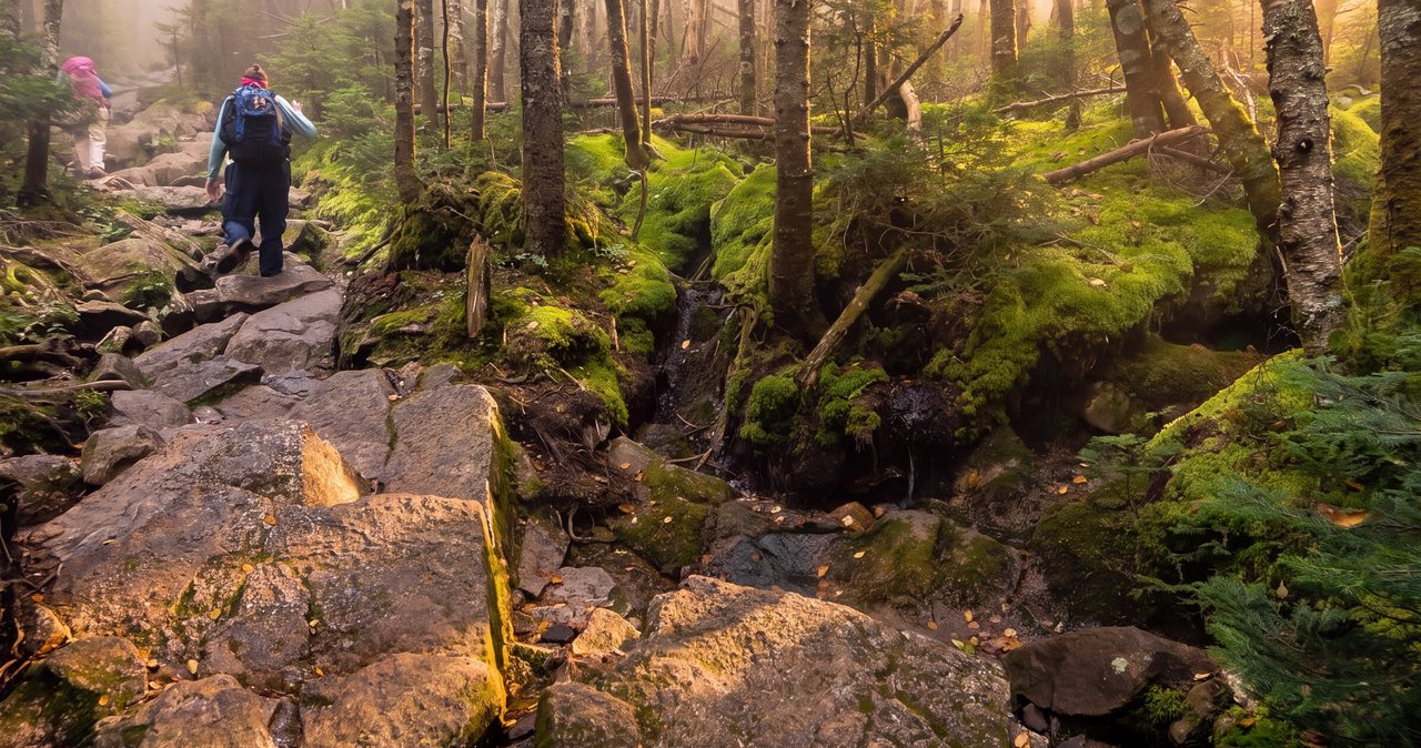
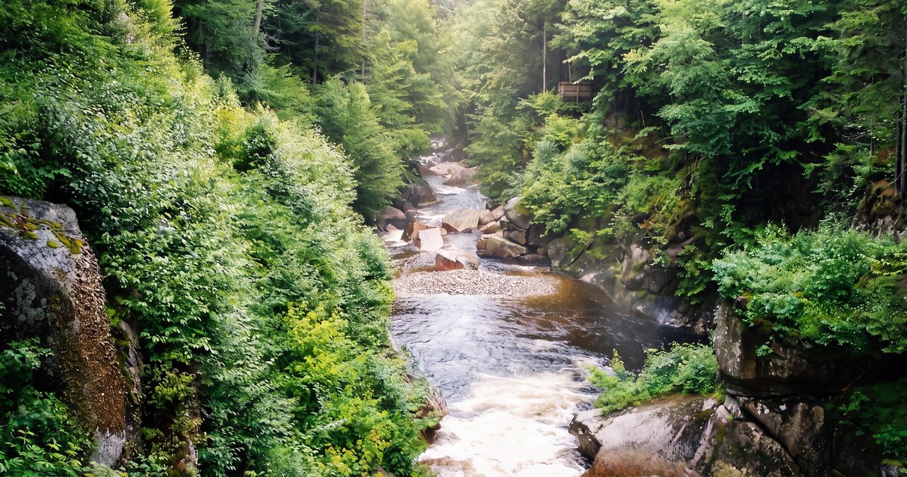
The Franconia Notch Recreation Path is a dedicated, paved, car-free trail that runs the length of Franconia Notch State Park. By most measures it runs about 8.8 miles, which is why you will see it described as roughly nine miles, and the ride from the high northern end down toward the Flume is close to that top to bottom. It is a real trail, not a painted shoulder on the parkway. It leaves the road, drops into the trees, crosses the Pemigewasset on wooden bridges, and runs beside the water for long stretches, so that most of the time you cannot hear traffic at all.
It is also a shared path, and worth understanding before you set expectations. Cyclists, walkers, runners and families with young kids all use it, and it is narrow in places, with some short steep pitches, a few blind corners, and posted bike-walk sections where the design wants you off the saddle and moving on foot. The surface is old in stretches, with the frost heaves and cracks any New Hampshire pavement collects, so it rewards a bike that can take a little roughness. It is narrower and rougher than a wide, flat rail trail, and it rolls and turns rather than running arrow-straight. On a clear June morning it is still one of the best few hours you can have in this state without lacing up boots. Our fuller cycling and mountain biking guide for Lincoln puts it in context with the other rides in the area, but the recreation path is the one we send almost everyone to first.
Where it starts and ends
The path runs roughly north to south through the notch, which is a narrow glacial pass with the Franconia and Kinsman ranges walling it in on either side. The northern end sits up near Echo Lake and the Skookumchuck trailhead, high in the notch. The southern end comes out down by the Flume Visitor Center, near the bottom of the park closest to Lincoln. The most useful thing to understand about the trail is its shape. The north end sits higher than the south, by roughly 400 feet overall, but the true high point is neither end; it is in the middle, at the foot of Cannon Mountain.
From the north terminus the path climbs about 340 feet up to that height of land near Cannon, then drops about 750 feet down to the south end by the Flume. So it is not one long coast in either direction, which is why people who expect a pure downhill are sometimes surprised by the climbing along the way. The overall tilt still favors one direction, though, and it decides how most people ride it. The high ground is the middle and the north end near the tramway parking and Echo Lake; the Flume, at the south end, is the low point. Everything else is a matter of which way you want to point the bike and how much work you want to do.
From the lodge, the south end near the Flume is about 12 min up I-93, and the top of the notch is closer to 15 or 16 min. That short drive is the reason the path works so well as a half-day. You are not committing to an expedition. You are driving 15 min, riding for an hour or two, and being back in town for lunch.
Which direction to ride
Because the north end is meaningfully higher, riding north to south is the easier direction, and it is the one we recommend for anyone who wants a relaxed outing rather than a workout. There are two practical ways to do it. The first is a shuttle: leave one car at the bottom, near the Flume, drive a second car to the top, ride down, and drive back up for the first car at the end. The second is to arrange a drop-off, either with someone in your party or with a rental shop that can shuttle you, so you only have to ride the downhill leg.
The other option is to ride down and then turn around and pedal back up, which turns an easy hour into a serious workout on the return. Plenty of fit riders do exactly that and enjoy it. If that is your plan, know going in that the leg home is the hard one, and save something for it. What does not work well is deciding all of this in a parking lot with a restless group and a fading morning. Sort the logistics, and specifically the shuttle, before you set off, so the ride itself is the only thing left to think about.
If you only have one bike and no second driver, the simplest version of a good day is to ride out from a midpoint for as long as feels good and then turn back. You do not owe the trail all 8.8 miles. An hour out from the Basin and an hour back is a fine ride and sees some of the prettiest water on the route.
Renting a bike and using the shuttle
Bring your own bike if you have one that suits the surface. A hybrid, a comfort bike, a gravel bike or any mountain bike is right for this path. A road bike with narrow, high-pressure tires is the wrong tool; the cracks and the coarse pavement will beat it up and beat you up with it. Class 1 e-bikes are generally allowed on the path, which makes the uphill return a non-issue for anyone who would rather not earn it, though rules can change, so it is worth confirming the current policy and the class of e-bike with whoever rents it to you.
If you do not have a bike, you can rent one nearby. Sport Thoma sits at the north edge of Lincoln, at 371 Route 3 just off I-93 Exit 33, and rents bikes; call 603-745-8151 to check availability, ask what a rental includes, and ask whether they can shuttle you to the top of the notch so you only ride the downhill leg. If a shuttle is not on offer, fall back to your own two-car swap. Reservations are worth making in season rather than counting on a walk-in, especially on a fall weekend. At the north end of the notch, in Franconia, Franconia Basecamp (262 Main Street, 603-823-2071) is a bike shop that rents e-bikes and handles repairs, which is handy if you are coming into the notch from that side or want the electric assist for the climb home.
Whichever way you get a bike, ask about the current condition of the pavement before you go, particularly early in the season. Shops that rent for this path ride it constantly and will tell you where the rough patches and the wet spots are, and whether any bridge decking is slick. It is a 2 min question that saves you a surprise at speed.
What you pass riding north to south
The appeal of the path comes down to this: from the saddle you string together most of the notch's landmarks along a single traffic-free line, so you see the whole pass without parking four separate times and fighting for four separate spaces. Starting at the top and working down, here is what goes by.
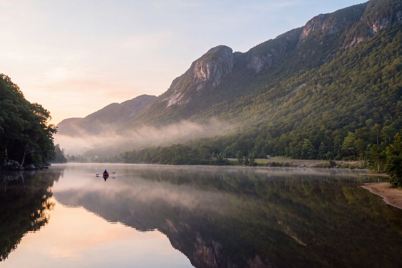
Near the north end is Echo Lake, an open sheet of water tucked under the ridges, with a beach and a wide view up at the walls of the notch. A little south of it is the aerial tramway parking area at Cannon. Worth knowing before you build a plan around it: the Cannon aerial tramway has been closed since its last day, October 26, 2025, and no reopening date has been announced. The ski area still operates in winter; it is only the tram that is out. So you can ride past the base, but you cannot ride up and take the car to the summit right now.
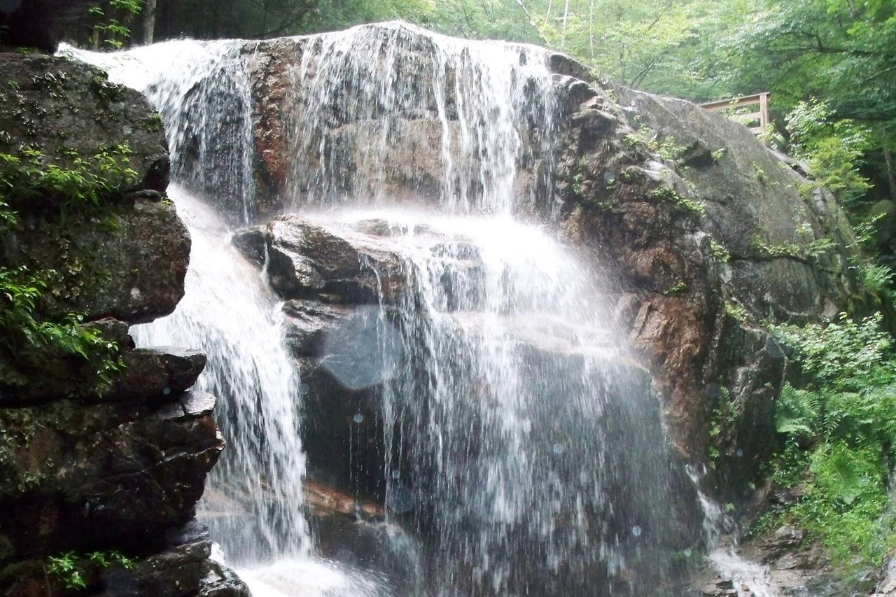
Farther down is Profile Lake, below the cliff where the Old Man of the Mountain used to hang. The stone profile fell off the mountain on May 3, 2003, and it is gone; what remains is the memorial plaza with steel viewfinders that line the old profile back up against the rock. It is a moving stop on foot and an easy one to roll past on the bike. Below that the path threads by Lafayette Place, the big campground and trailhead in the middle of the notch, and then reaches the stop we tell people not to skip: the Basin, a granite pothole scoured smooth by meltwater, a short walk off the path. Lock the bike, walk down, look at the water, get back on. It costs 10 min and it is the best thing on the route.
The path finishes near the Whitehouse Bridge and the Flume Visitor Center at the south end, by the Flume itself, the 800-foot granite gorge with its two-mile boardwalk loop. The Flume is a separate, ticketed, timed-entry attraction with its own hours and its own parking, so it is not something you casually add to the tail of a bike ride, but it is a natural anchor for the bottom of the notch and an easy thing to plan for another part of the trip.
The rules on the path
The recreation path is for people on foot and on bikes, and that is the whole reason it feels the way it does, so the etiquette that keeps it pleasant is simple and worth honoring. The posted speed limit is 20 miles per hour, which is faster than most people ride it and slower than a confident cyclist can coast on the downhill, so watch your speed on the descents where you catch walkers around a corner. Stay to the right, pass on the left with a word or a bell, and get off and walk the marked bike-walk sections, which exist where foot traffic is heavy or the sightlines are bad.
Motor vehicles, skateboards, and inline or roller skates are not allowed, and there is no camping or fires along the path. Pedal bikes and e-bikes share it with walkers, runners and strollers, and on a summer or foliage weekend it can be busy, so ride like there is a small child around the next bend, because there often is. None of this is heavy-handed; it is the ordinary courtesy of a shared trail, and the path stays a good experience precisely because most people extend it.
Where to park
Franconia Notch is a state park, and the path is served by several parking areas along its length rather than one trailhead lot. The Flume Visitor Center at the south end, Lafayette Place in the middle, the tramway lot near the top, and the Echo Lake area all give you access to different points on the trail. On busy days the popular lots fill early, the Flume especially, so an early start is worth more than any other single piece of advice for a summer or fall visit.
Because the parking situation and the seasonal hiker shuttle in the notch change from year to year, it is the kind of detail worth checking close to your trip rather than trusting an old blog. We keep a current rundown in our note on parking in Franconia Notch and the hiker shuttle, which covers which lots serve what and how the shuttle fits in. If you are doing the ride as a shuttle-served downhill through a rental shop, most of this solves itself, since they handle the drop-off and you finish back near town.
When the path is rideable
The path is not maintained for bikes through the winter, so riding it is a spring-through-fall proposition, generally from whenever the snow and ice have cleared until the first hard weather returns. Some years the snow is gone by April and some years it is stubborn into May, so early season is a wildcard. In spring the pavement can be wet, gritty, and littered with blowdown and washed-in debris, and the low, shaded stretches near the water hold ice and damp long after the open sections have dried. It is rideable and often lovely in spring, but it is the season to go slow, keep your eyes down, and expect to dodge things.
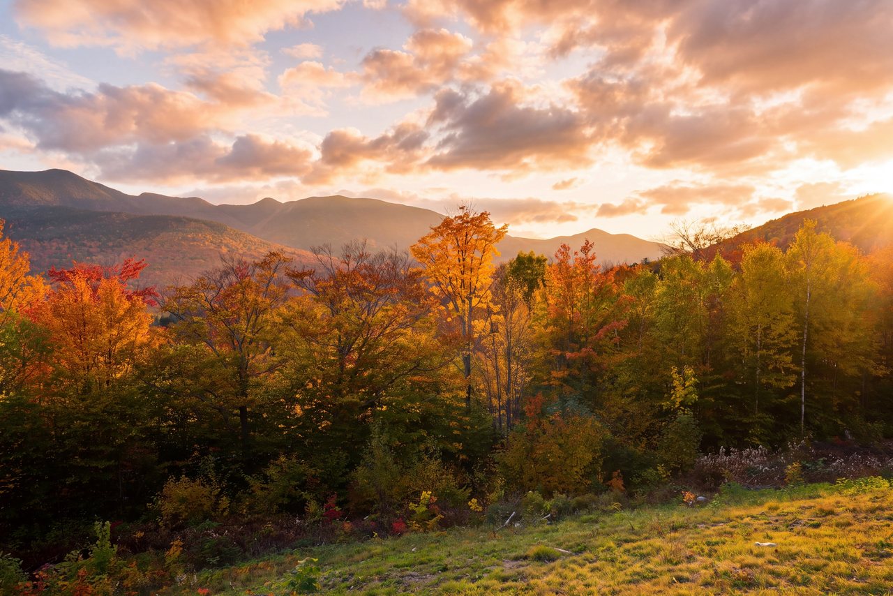
Summer is the easy, warm, forgiving version, and the one most families choose. Fall is the best of all and also the busiest by a wide margin; on a peak foliage weekend the notch fills with cars and the lots turn over fast, and the path itself sees heavy foot traffic, so an early ride is the move. If you are trying to time a trip around color or weather generally, it is worth reading up on the season before you commit, since a ride here is entirely at the mercy of the sky. A clear, dry, cool morning is the whole game; a hot, hazy, buggy afternoon is not.
The path in winter
When the snow comes, the path is not plowed, so through the winter it stops being a bike route and becomes a quiet, scenic tour on cross-country skis or snowshoes. Because it is paved underneath, it needs only a few inches of snow to ski, which makes it one of the gentlest, most scenic tours in the area on classic cross-country skis, and an easy snowshoe as well. The same qualities that make it a good beginner bike ride, the gentle grade, the traffic-free line through the notch, and the water and ridge views, make it a good beginner winter tour too.
If a winter trip is what you are planning, the path is one of several good options, and we cover it alongside the rest in our guide to cross-country skiing and snowshoeing trails near Lincoln. Treat it with the same respect any winter outing in the notch deserves: dress in real layers, tell someone your plan, and remember that cell service in the notch is unreliable in any season.
What to bring
The kit for this ride is short, and in one respect non-negotiable: you are on your own out there. There is no shop, no water fountain, and no reliable mobile service along the path, so whatever you might need has to come with you. Start with a helmet, which is the right call regardless; ask the rental shop for one if you are renting. Water, more than you think for a short ride, because the climbs and the sun add up. Something to fix a flat, meaning a spare tube or a plug kit, a pump or inflator, and the tire levers to use them, since a flat with no way to fix it turns a pleasant hour into a long walk pushing a bike.
Beyond that, dress for a temperature swing. The top of the notch runs cooler than town, and a fast descent in the shade with the wind on you can feel cold even on a warm day, so a light layer you can shed is worth carrying. Sunglasses help against both glare and the grit that kicks up off the pavement. Download your directions before you head into the notch, rather than trusting your phone to load a map once you are in it, because it very likely will not. And a small lock is useful for exactly one reason on this route: so you can leave the bike and walk down to the Basin without carrying it.
Walking a section instead of riding
You do not have to ride the whole thing, or ride it at all. A great many of our guests never get on a bike here. They park at the Basin or at Echo Lake, walk a mile or two of the path in each direction, and turn around when they feel like it. That gives you the notch scenery on a flat, paved, well-graded surface with no navigation, no gear, and no fitness required, which is exactly the right answer for a lot of people, and the one we give most often to anyone who wants a beautiful hour outdoors without committing to a hike.
Walking also lets you go at the pace the place deserves. On a bike the Basin is a 10 min stop; on foot it is somewhere to sit for a while by the water. The stretch of path near Echo Lake at the top, and the section around the Basin lower down, are both easy, rewarding out-and-back walks that need nothing but comfortable shoes. If a hike is off the table for the day, whether because of weather, a bad knee, or simply not being in the mood, this is the way to still stand in the middle of Franconia Notch and feel like you saw it.
Planning a ride from the lodge
The path fits a stay here about as neatly as anything can, because the drive is short and the outing is flexible. From the lodge you are roughly a dozen minutes from the south end of the notch, so a ride is an easy half-day that leaves the rest of the day open. The pattern we suggest is to watch the weather rather than the calendar: hold the ride loosely, and when a clear, dry, cool morning turns up during your stay, that is the one to grab. Get out early, especially in foliage season, ride or walk the notch, stop at the Basin, and be back in Lincoln by lunch with the afternoon still ahead of you.
It also pairs well with the way a stay here already works. A morning on the path leaves plenty of energy for a slow afternoon in town, a swim, or an early dinner, and the ride is gentle enough that it does not wreck you for whatever comes next. After a longer day in the saddle, the Basin suite, with its two-person jetted tub, is a good place to land, and the coffee lounge has coffee waiting for the morning you head out. When you are ready to line up dates, you can check availability and book directly with the lodge, and if you want a read on the current pavement, the shuttle, or the foliage timing for the week you are coming, ask us. We ride and walk this path ourselves, and we are happy to tell you how it has been looking lately.
— Launchpoint Lodge, From the lodge