Bridal Veil Falls is the waterfall Franconia keeps to itself. While the crowds line up at the Flume and the Basin in the notch, the Coppermine Trail on the west side of the Kinsman Range climbs two and a half miles up a shaded brook valley to an 80-foot fall that spreads across a smooth granite face like a veil, which is exactly how it got its name. The grade is gentle for most of the way, the footing is good, and the trail is quiet even on a July Saturday.
It has two things most waterfall walks do not. The first is a real destination: a big fall with a pool and slabs at its foot, a lean-to shelter a few hundred feet below it, and a second, higher cascade above for anyone willing to scramble. The second is a story. In 1939 the actress Bette Davis was hiking here as a guest of Peckett's, the inn on Sugar Hill, and kept straying from the party so that the inn's assistant manager, Arthur Farnsworth, would be sent to find her. They married in 1940; he died in 1943. A bronze plaque on a boulder in the brook near the falls still reads: In memoriam to Arthur Farnsworth, the keeper of stray ladies, Pecketts 1939, presented by a grateful one. She never put her own name on it.
This guide gives you the route, the parking arrangement on Coppermine Road that trips people up, what the falls are like in each season, where the plaque is and how to look for it without wading, and the reasons the tempting pool at the bottom is a better place to look than to swim. The trailhead is about 20 min from the lodge by way of North Woodstock and Route 116.
The numbers
The Coppermine Trail is about 2.5 miles from the parking area to the falls, so five miles round trip, with roughly 1,100 to 1,150 feet of elevation gain. Most of that comes in the second half; the first mile is nearly flat. Allow an hour and a quarter to an hour and a half up and a little less down, plus as long as you like at the falls, which for most people is a long lunch. It is a half-day walk.
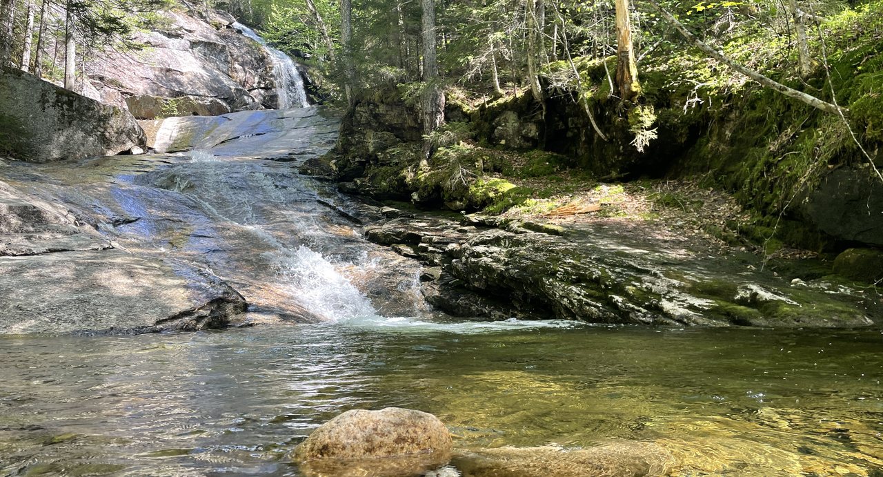
The fall itself is usually listed at 80 feet. The main drop fans out across a sloping granite face into a pool, with a smaller cascade above it that you can reach by a short, steep scramble. There is nothing technical about the trail, but the last stretch to the base of the falls is rocky and the ledges around the pool are wet.
Parking on Coppermine Road: read this before you drive
The trailhead is on Coppermine Road, a dirt road that leaves NH Route 116 in Franconia about 7.7 miles north of the junction with Route 112 in Woodstock, roughly a mile south of the Franconia Airport. Park in the small pull-off area at the very beginning of Coppermine Road, right where it meets Route 116. Do not drive up Coppermine Road looking for a lot; it is a residential road, the homeowners have lived with hikers' cars for years, and there is no parking beyond the start.
From the pull-off you walk up the dirt road for about 0.4 mile. Where Beechwood Lane splits off, stay right on Coppermine Road, and shortly after that the yellow-blazed Coppermine Trail leaves the road on the left into the woods. The pull-off holds only a handful of cars, so on a fine weekend arrive early or accept a walk from farther down 116. There is no Forest Service fee kiosk at this lot, but carry your recreation pass if you have one; the trail enters national forest land almost at once.

The trail: a brook, a bridge, a shelter
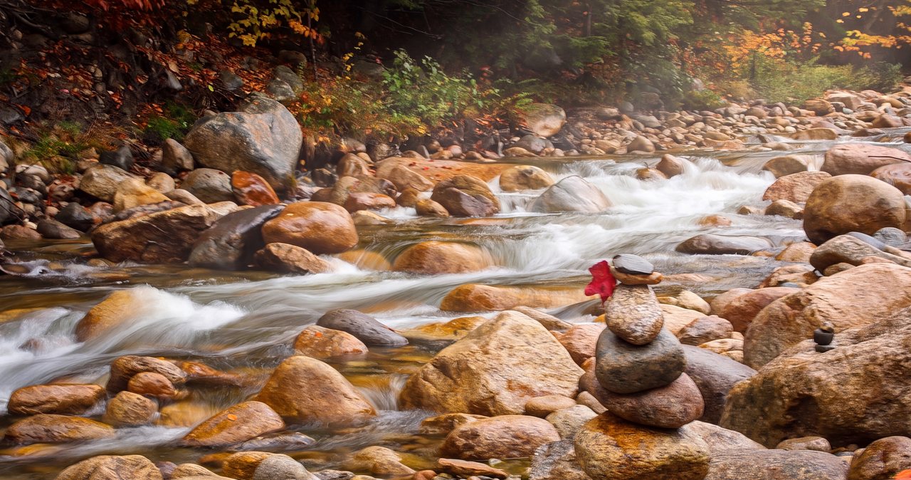
The first mile is an easy woods walk on an old road with the brook out of sight to the left. A little past a mile the trail comes down to Coppermine Brook and follows it the rest of the way, and this is the good part: the brook runs in a series of small cascades and pools over slabs, the hemlocks close in, and the temperature drops. Side paths lead to the water at several points. The grade steepens gradually but never becomes a climb.
At about 2.3 miles you cross the brook on a footbridge, and just beyond it stands the Coppermine Shelter, an open-fronted Adirondack lean-to that backpackers use and day hikers use as a lunch bench. From the shelter it is a couple of hundred yards on rocky trail to the first view of the falls from the lower pool. The trail ends there. Everything higher is a scramble on slabs and roots, and the rock is wet.
The falls, the pool and the natural waterslide
Bridal Veil is a sheet fall: the brook fans across a smooth, inclined granite face rather than dropping through the air, which is why it looks like fabric in low water and like a wall of white in June. At the bottom is a pool that looks made for swimming. It is cold, it is shallow, and the slab feeding it acts as a natural waterslide that people try every summer. Wet granite this steep gives no second chance; most of the serious injuries at New Hampshire waterfalls are exactly this kind of slide onto rock. Wade at the edge if you must, and stay off the slab.
Above the main fall a short scramble reaches an upper cascade and a second pool with fewer people. The footing up there is roots and slick rock; go slowly, keep three points of contact, and do not try it in the rain. The light is best at midday, when the sun comes over the ridge and reaches the face of the fall; in the morning the gorge is in shadow.
Finding the Bette Davis plaque
The plaque is set into a boulder in the bed of Coppermine Brook a short distance below the falls, near the shelter, and it is famously hard to spot. It is small, dark bronze, and in high water it can be partly submerged or hidden by spray. Look at the larger mid-stream boulders between the footbridge and the base of the falls from the bank, ideally in the low water of late summer; do not wade the brook to hunt for it, because the stones are slick and the current is faster than it looks.
The inscription reads: In Memoriam to Arthur Farnsworth, The Keeper of Stray Ladies, Pecketts 1939, Presented by a Grateful One. Farnsworth was the assistant manager at Peckett's-on-Sugar-Hill, the inn a few miles north where Davis was staying; local memory says she strayed from the hiking party on purpose so he would be sent to fetch her. They married in 1940 and he died in 1943. Davis had the plaque set after his death and, for once, kept her own name off the credits.
Seasons and water levels
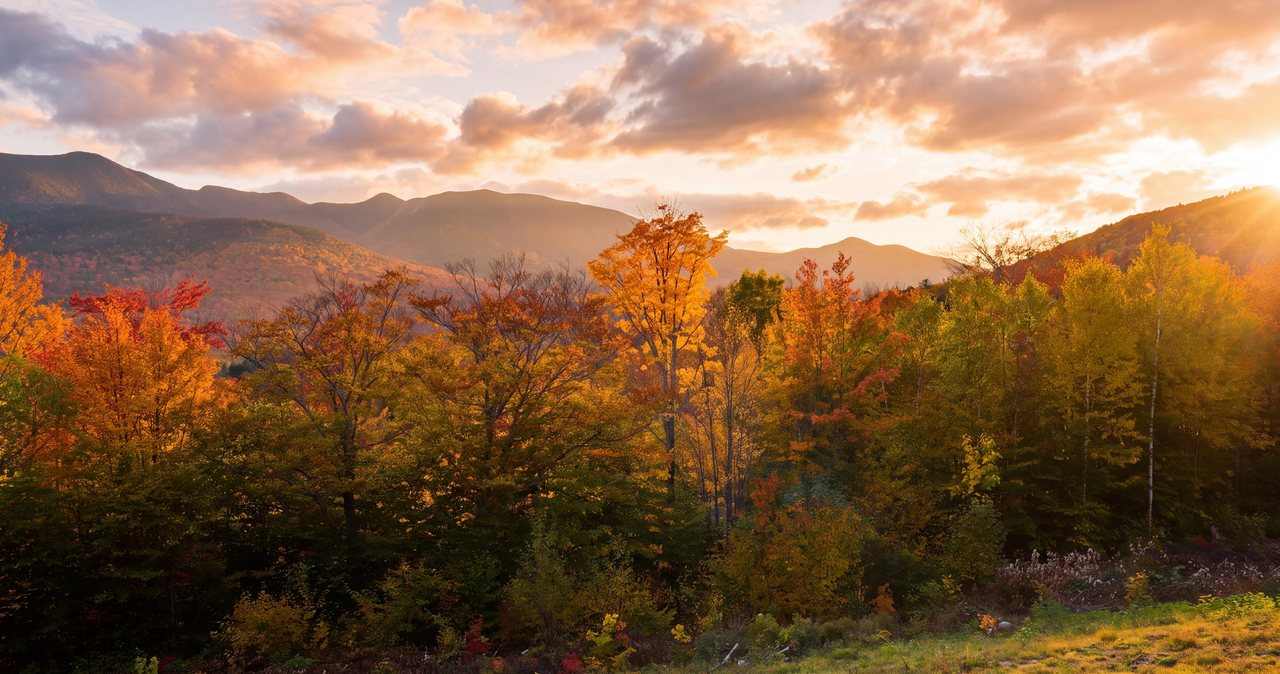
Late April into early June is peak flow, when snowmelt off the Kinsmans turns the veil into a roar and the trail is muddy and often still icy in the shaded upper section. July and August are the most pleasant walking, with the falls thinned to their namesake veil and the pool at its most inviting, best enjoyed from the edge. Foliage comes to this valley in the first two weeks of October, and the hemlock-and-birch mix along the brook is at its best then.
Winter turns Bridal Veil into a wall of blue ice and a popular snowshoe. The road walk and the lower trail are straightforward on snowshoes or microspikes; the final approach to the falls is steep and iced and needs traction and judgment. Ice climbers use the fall, so give them room and stay out from under anything they are on.
Who this hike is for
Anyone who wants a real waterfall without the notch crowds, and a walk that stays shaded on a hot day. It suits couples who like a long unhurried outing with a lunch spot at the end, and it is a fine first hike of a trip because the grade is forgiving. It is also the best rainy-forecast hike on this side of the mountains: the falls are bigger in rain, the trail is in the trees, and there is a roof at the shelter.
It is not a stroller path or a place for anyone who needs a railing at the top. There is no view from the falls other than the falls, so people who want a summit or a ledge should pair it with Bald Mountain and Artist Bluff on the way home, 20 min away over the notch.
What to carry
Water for five miles, food for the shelter, a layer for the cool gorge at the falls, rain gear, and bug protection from late May through July, when the brook breeds black flies and mosquitoes. Trail runners are fine in summer; boots with grip help on the wet rock at the top. From October on, pack microspikes for the final approach, and in winter bring snowshoes for the road and trail after a storm.
Cell coverage along Route 116 is patchy and disappears in the gorge. Download the map before you leave the lodge and tell someone your plan. The hikeSafe card is voluntary and inexpensive; the trail is easy, but the scramble above the falls is where people get hurt.
Safety & conditions
- The sloping granite slab that feeds the pool looks like a natural waterslide, and it is the part of this hike to treat with the most care. Wet rock this steep gives no second chance and slide injuries onto rock are how people get badly hurt at New Hampshire waterfalls. Stay off the slab, and wade only at the shallow edge of the pool if at all.
- The scramble to the upper cascade is on wet roots and slick ledge with real drops beside it. Go slowly with three points of contact, save it for a dry day when the rock is not running with spray, and take it on in winter only with traction and experience.
- Do not wade the brook to hunt for the Bette Davis plaque. The mid-stream boulders are slick, the current is faster than it looks, and the plaque is best spotted from the bank in the low water of late summer.
- Coppermine Brook is snowmelt-fed and stays cold all summer. Cold-water shock can incapacitate a strong swimmer in seconds; the pool is shallow, cold and rock-rimmed, and it is a place to look, not to swim.
- Park only at the start of Coppermine Road on Route 116. The road above is residential with no turnaround or legal parking, and cars left along it have been ticketed and towed.
- From October to May the shaded upper trail and the approach to the falls hold ice long after the road is bare. Carry microspikes, and in deep snow bring snowshoes; the last pitch is steep enough to need them.
- In winter the fall is an ice-climbing route. Stay out from under anyone on the ice and out of the fall line of ice they knock down.
- Cell service is patchy on Route 116 and gone in the gorge. Download the map, leave your plan with someone, and know that New Hampshire can bill for a rescue caused by negligence under RSA 206:26-bb; the $25 hikeSafe card covers you.
Where to stay for it
This is one of the shortest drives to a real waterfall from our door, and it goes the pretty back way rather than up the interstate. From 191 Pollard Road take Route 112 west through North Woodstock, then turn right onto Route 116 and follow it north through the farm country of Easton with the Kinsman Range on your right. Coppermine Road is on the right after about 7.7 miles, roughly a mile before the small Franconia Airport. Allow 20 min.
Because the hike is a half day, it pairs naturally with the rest of that side of the mountains. Continue north on 116 into Franconia village afterward for lunch, drive up to Sugar Hill for Polly's Pancake Parlor and the view from the ridge, or come home over Franconia Notch on I-93 and stop at Echo Lake or the Basin. Our guests who want a summit as well do Artist Bluff and Bald Mountain at the top of the notch on the way back; the two together make a full, varied day with a nap in it.
If you are here in the wet week of early June, this is the walk to save for the grayest morning. The falls are at their biggest, the trail is in the trees, and the shelter gives you a roof for lunch.
Useful links
- White Mountain National Forest: alerts and recreation passes
Current trail alerts for the Franconia side and the pass prices if you want one for the rest of the trip. - The Frost Place, Franconia
Robert Frost's farmhouse and poetry trail is 10 min up Route 116; the grounds are always open. - Polly's Pancake Parlor, Sugar Hill
The post-hike breakfast or lunch 15 min north, serving since 1938. Expect a wait on weekends. - New Hampshire Fish and Game: hikeSafe card
The $25 individual / $35 family card and the responsibility code behind the state's rescue-billing law. - Our Artist Bluff and Bald Mountain guide
The short summit walk over the notch that pairs with this waterfall for a full, varied day.
Sources & official info: northeasthikes.com · nhmagazine.com · visitwhitemountains.com · sectionhiker.com · fs.usda.gov · hikesafe.com
— Launchpoint Lodge, From the lodge