Mount Crawford is the mountain most people drive past on the way to Arethusa Falls. It stands at the southern gateway of Crawford Notch on the east side of Route 302, a 3,119-foot peak with a bald granite top, and the trail up it is the first leg of the Davis Path, a route with more history than almost any other in the White Mountains. The hike is about five miles round trip and gains roughly 2,100 feet, most of it steeply in the first two miles. What you get is a summit with open ledges in every direction: down the length of the notch, across to the Webster Cliffs and the Willey Range, north to the Presidentials, and south down the Saco valley.
It is a serious half day rather than a stroll. The Davis Path climbs hard from the river and does not let up until it breaks out onto ledges below the summit, and the summit itself is exposed rock with no shelter. That is also why it is so much quieter than Mount Willard across the notch, which delivers a similar view for a third of the effort. If you have already done Willard, or you want a real climb without a full 4,000-footer day, Crawford is the next mountain.
This guide covers the trail from the footbridge to the top, the Bemis Bridge and the private land you cross at the start, the history of the path Nathaniel Davis built for horses, the parking lot across from the Notchland Inn, the fee question, the longer continuation to Stairs Mountain and Mount Resolution, and how to do it safely in every season. The trailhead is about 42 min from the lodge by car.
The numbers
The round trip is listed between 4.7 and 5.0 miles depending on the source, with about 2,100 feet of elevation gain. The Davis Path climbs about 2.2 miles from the Saco River to the junction with the short spur to the summit, and the spur adds roughly 0.3 mile each way. The trailhead sits near 1,000 feet beside the river; the summit is 3,119 feet. Allow three and a half to four and a half hours with time on the ledges.
The grade is the thing to understand. The path was laid out for horses in 1845 and it climbs relentlessly rather than switchbacking, so the middle mile and a half is steep, rocky and steady, with few flat breathers. It is rated moderate to strenuous, and the strenuous part is fair for the second half. There is no technical scrambling, but the ledges near the top are open granite that is slick when wet.
The trailhead: across from the Notchland Inn
The Davis Path parking area is a large dirt lot on the east side of US Route 302 in Hart's Location, directly across the highway from the Notchland Inn, about 12.3 miles west of Route 16 in Glen and 16.7 miles south of Route 3 at Twin Mountain. It is signed Davis Path Parking and sits just above the Saco River. Being a big lot, it rarely fills the way the Arethusa Falls and Willard lots do, which is part of the appeal.
Read the kiosk when you arrive. The lot is on national forest land and the fee status of Crawford Notch trailheads has shifted over the years; carry a White Mountain National Forest recreation pass and display it if the signs ask for one, about five dollars for a day or thirty for a year. From the lot the trail drops to the river and immediately crosses the Bemis Bridge.
The Bemis Bridge and the private land at the start
The Davis Path begins by crossing the Saco River on a suspension footbridge. The first bridge here was built in 1931 by Samuel Bemis, who owned the estate that is now the Notchland Inn, and spanned 108 feet. It was rebuilt in 1999, when the town of Hart's Location won a National Scenic Byways grant, as a 168-foot, five-foot-wide asymmetrical cable-stay bridge that has since won design awards. It sways a little, the river is loud beneath it, and it is a fine way to start a mountain.
Beyond the bridge the trail crosses a corner of private land for the first few hundred yards, passing near a house and following signs and arrows through the woods to the national forest boundary. Stay on the marked path, keep dogs close, and do not wander to the river here; the owners have kept this access open for a century and the least hikers can do is respect the line.
The climb: two steep miles on an 1845 bridle path
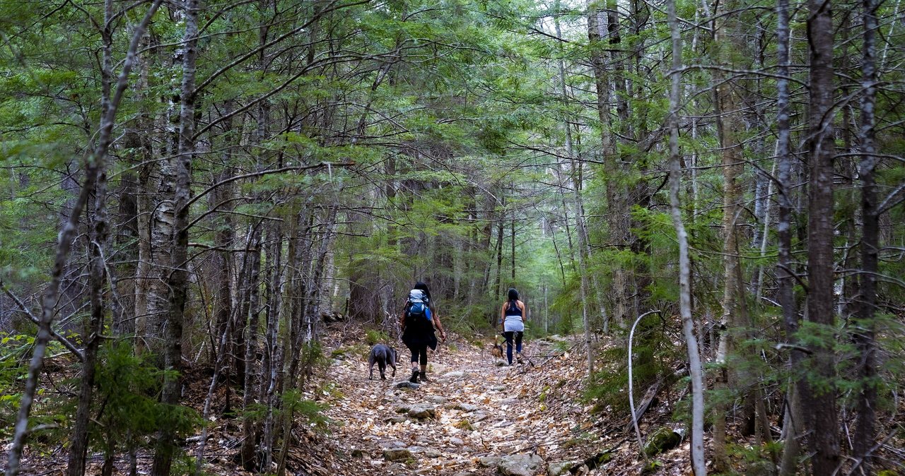
Once on forest land the Davis Path settles into its character. It climbs gradually at first through hardwoods, then steepens into a long, steady ascent on a rocky, eroded tread that was once wide enough for horses. The grade is unrelenting for about a mile and a half, and in summer this stretch is hot and shadeless in places where the trail runs up open rock. Water is scarce; there is no reliable brook after the first half mile, so carry everything you need.
Around two miles the woods shrink to scrub and the trail breaks out onto the first open ledges, with the view arriving all at once: Crawford Notch to the north, the Webster Cliffs across it, and the Saco valley below. The path levels along a ledgy shoulder to the signed junction where the Davis Path continues toward Mount Resolution and Stairs Mountain and a spur turns left, about a third of a mile of easier walking over rock and through krummholz to the summit of Mount Crawford.
The summit and the view
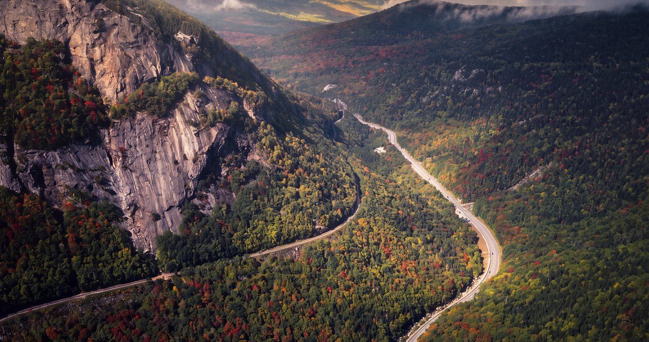
The top of Mount Crawford is a broad bald dome of granite at 3,119 feet, one of the best open summits under 4,000 feet in the region. From the rock you look straight down the throat of Crawford Notch to the Willey House site and Route 302 threading the floor of it, across to Mount Webster's cliffs and Mount Willey, north over the notch to Mount Washington and the southern Presidentials, east along the Bemis Ridge to the strange flat-topped Giant Stairs on Stairs Mountain, and south down the Saco toward Bartlett.
It is a summit for lingering, with room to spread out and plenty of dry rock on a good day. It is also fully exposed to wind, sun and weather, with no trees to hide behind. On a windy or threatening day the shoulder ledges below the spur junction are the more comfortable lunch stop.
The Davis Path: a bridle path to Mount Washington
The trail is a piece of White Mountains history. It was completed in 1845 by Nathaniel T. P. Davis, the son-in-law of Abel and Hannah Crawford, whose family had opened the notch to travelers and built the Crawford Path in 1819. The Davis Path was the third and longest of the bridle paths to the summit of Mount Washington, climbing over Crawford and along the Montalban Ridge for some fifteen miles to the top. Guests of the Crawford family's inns rode it on horseback for less than a decade before it fell out of use around 1853 and was lost to the woods.
In 1910 the Appalachian Mountain Club, under its trail builder Warren W. Hart, reopened the route as a footpath, and it has been maintained ever since. Today the full Davis Path is a long wilderness walk to Mount Isolation and the Washington summit cone; Mount Crawford, named for Abel Crawford, is its first and easiest prize.
Making it longer: Stairs Mountain and Mount Resolution
From the Crawford spur junction the Davis Path continues along the Bemis Ridge, dropping and rising to the Stairs Col and the spur to Stairs Mountain, whose Giant Stairs ledges you saw from the summit, and on to Mount Resolution by its own spur. Adding Stairs makes a day of about eight miles; adding both is closer to ten with well over 3,000 feet of climbing, on rougher and much lonelier trail. Water is very scarce on the ridge. These are fine extensions for fit hikers with an early start, and they turn a half day into a full one.
Seasons and conditions
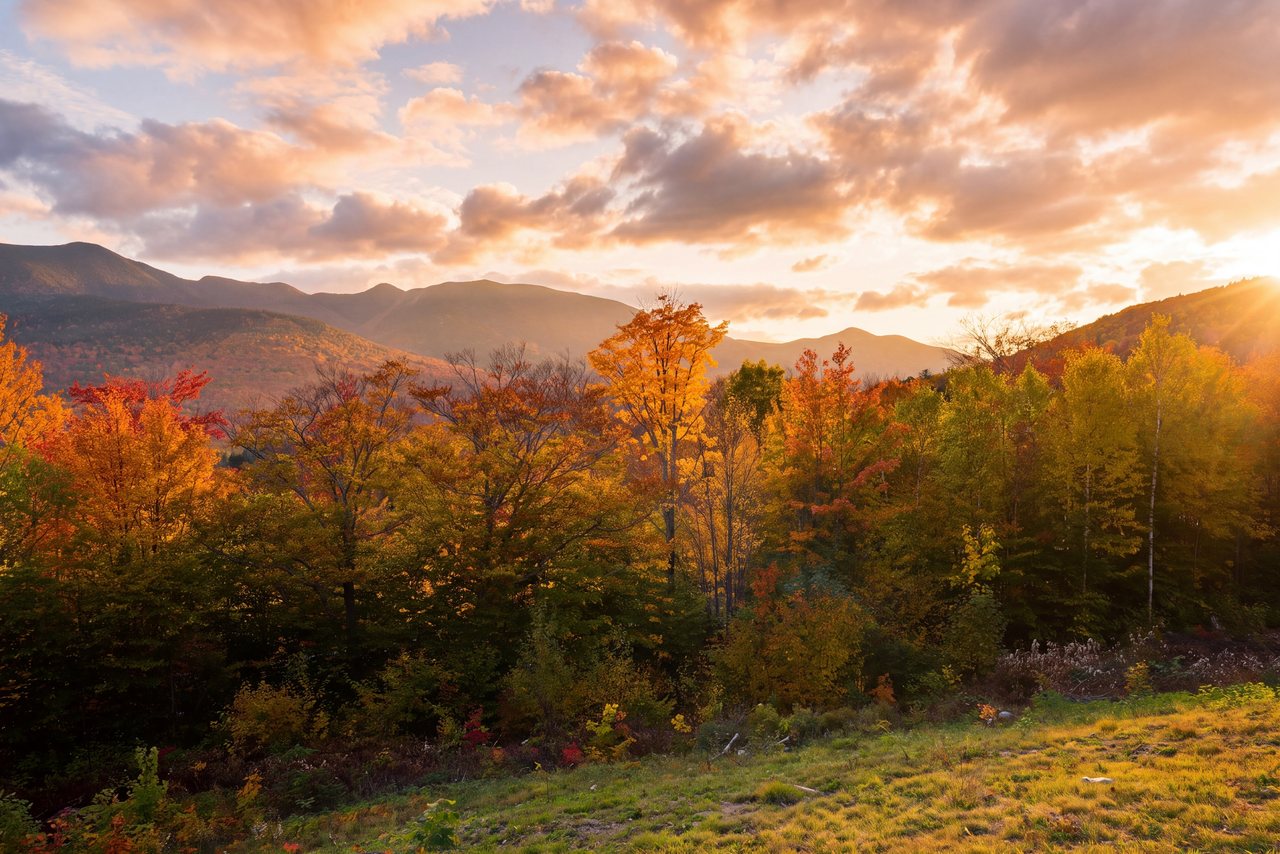
June through October is the season. The open ledges make this a superb foliage hike in the first two weeks of October, when the notch below is at peak, and a hot one in July, when the exposed rock bakes and water is scarce. Spring is late up high; ice lingers on the steep tread into May, and the trail is muddy and fragile in April.
In winter Mount Crawford is a respected snowshoe and microspike climb with a big payoff, but the steep middle mile ices hard, the ledges are wind-scoured and often crusted, and the summit is fully exposed to the wind. It is a trip for experienced winter hikers with full traction, insulated layers and a firm turnaround plan, not a first winter outing.
Who this hike is for
Hikers who want a real climb and a real summit without a 4,000-footer day: people who have done Willard and want more, couples who like open rock for lunch, anyone with an interest in the history of the notch. It is a good test of legs before the Franconia Ridge. The quiet lot and the lonely trail are a relief on a busy weekend.
It is not for anyone who wants a gentle walk. For the same view with a third of the effort, Mount Willard is across the notch; for waterfalls on the same stretch of road, Arethusa Falls and the Nancy Cascades are minutes away.
What to carry
Two liters of water per person at least, because there is none on the mountain after the first half mile; more in summer. Food for a long lunch on the rock. A windproof layer and a hat for the exposed summit even in July. Boots or grippy trail shoes for the eroded, rocky tread. Poles help on the descent, which is where tired knees slip. From October on, microspikes; in winter, snowshoes and full winter kit.
Cell service is poor in the notch. Download the map before you leave Lincoln and tell someone your plan. The hikeSafe card is voluntary, the responsibility code behind it is worth following on every hike, and New Hampshire can bill for a rescue caused by negligence under RSA 206:26-bb.
Safety & conditions
- The summit and the upper ledges are completely exposed to wind, sun and lightning. Check the Mount Washington Observatory's higher-summits forecast in the morning, carry a windproof layer even in July, and get off the rock at the first sign of a thunderstorm; the shoulder ledges below the spur junction are the retreat.
- There is no reliable water on the mountain after the first half mile. Carry at least two liters per person and more in summer heat, when the open rock in the middle section bakes.
- The steep, eroded middle mile is where people fall on the way down, on tired legs and loose rock. Use poles, shorten your stride, and do not hurry the descent.
- The open granite near the top is slick when wet, dewy or iced. In shoulder season carry microspikes; in winter the ledges are wind-scoured and crusted and the summit is bitterly cold, so treat it as an experienced-hikers trip with full winter gear and a firm turnaround time.
- The first few hundred yards beyond the Bemis Bridge cross private land. Follow the signs and arrows, stay on the marked path, keep dogs leashed and do not go down to the river there.
- The Bemis Bridge is a narrow suspension footbridge that moves underfoot. Cross one or two at a time and do not jump or swing on it, especially when it is icy.
- Cell service is poor in Crawford Notch. Download a map before leaving Lincoln, leave your plan with someone, and consider the $25 hikeSafe card; New Hampshire can bill for a rescue caused by negligence under RSA 206:26-bb.
- Black bears are common along the Saco. Keep food packed away on the summit and never leave a pack unattended on the ledges.
Where to stay for it
The drive is the same scenic run our guests take to Arethusa Falls, a few miles further down the notch. From 191 Pollard Road take I-93 North through the Franconia Notch Parkway to Exit 35, follow US Route 3 north about ten miles to Twin Mountain, and turn right onto US Route 302 east. The road passes Bretton Woods and the Cog Railway turn, crests at the Crawford Depot, and drops the whole length of Crawford Notch past the Willey House and the Arethusa Falls road. The Davis Path lot is on the left across from the Notchland Inn, about 45 min from our door.
Because the hike is a half day, it fits a Crawford Notch loop: climb Crawford in the morning while the ledges are cool, then stop at the Willey House site and the roadside cascades on the way back up the notch, or continue south to Bartlett and come home over the Kancamagus for a long, varied day. Guests who want two summits pair it with Mount Willard, 20 min up the road, though few have the legs for both after lunch.
Leave early on foliage weekends. Not for the Davis Path lot, which rarely fills, but for Route 302 itself, which crawls through the notch by late morning in October.
Useful links
- Mount Washington Observatory higher-summits forecast
Read it before you go; the summit dome catches the same wind and lightning as the big peaks. - Crawford Notch State Park
The park that fills the notch below the summit, with the Willey House site and the roadside cascades. - White Mountain National Forest: alerts and recreation passes
Current trail alerts for the Saco District and the pass prices. - hikeSafe: the code and the card
The six-point hiker responsibility code and the $25 / $35 voluntary card. - Our Mount Willard guide
The easy notch viewpoint across the valley, for the day you want the view without the climb. - Our Arethusa Falls guide
New Hampshire's tallest waterfall, a few minutes up the same road.
Sources & official info: summitpost.org · nhfamilyhikes.com · alltrails.com · nhstateparks.org · mountwashington.org · fs.usda.gov
— Launchpoint Lodge, From the lodge