40 min south of the lodge, where the White Mountains give way to the Lakes Region, West Rattlesnake is the small mountain everyone in Holderness climbs. The Old Bridle Path leaves Route 113 and rises 0.9 mile and about 450 feet on a wide, well-built trail to a broad sweep of open ledges 1,243 feet up, and from the rock the whole of Squam Lake lies below you: islands, coves, the long arms of the lake reaching toward the Sandwich Range, and on the far shore the country where On Golden Pond was filmed in 1981. It takes half an hour to get there, and people stay for hours.
The Squam Lakes Association maintains the trail and the ledges, and the association's care shows in the stone steps and the well-kept path. The price of that popularity is a full parking lot by mid-morning on any fine weekend and a summit shared with a crowd at sunset. Go early, go on a weekday, or go with the plan of continuing over to East Rattlesnake, where the crowd thins out.
This guide covers the Old Bridle Path and the ledges, the harder alternatives up the mountain, the East Rattlesnake extension, the parking lot on Route 113 and the association's mud-season closure, and how to build a day around it with a lake cruise or a paddle from Holderness. It is the easiest of the hikes on this list and one of the most rewarding for the effort.
The numbers
The Old Bridle Path is about 0.9 mile from the parking lot to the summit ledges of West Rattlesnake, so roughly 1.8 miles round trip, with about 450 feet of elevation gain. The summit is usually given as 1,243 feet, a little over 700 feet above the lake. Most people reach the ledges in 25 to 40 min and take as long as they like on top. Continuing to East Rattlesnake and back makes a hike of about 3.8 miles with roughly 1,000 feet of total climbing.
The trail is graded and well maintained, with stone steps on the steeper bits and a wide tread. It is rated easy, and it is, by White Mountains standards; it is still a rocky uphill walk, not a paved path, and the ledges at the top are open, unfenced granite.
Parking on Route 113
From the center of Holderness village turn onto NH Route 113 and drive north along the east side of the lake for about 5.5 miles. The Old Bridle Path parking lot is on the right, signed, and holds a few dozen cars. On any fine Saturday from June through October it is full by mid-morning and stays full until evening, with cars parked along the road shoulder beyond it; the shoulder is narrow and the road is fast, so park properly in the lot or come back later. There is no fee to park or hike, and no toilet or water.
The Squam Lakes Association closes its Rattlesnake and Squam Range trails during mud season, usually for much of April, because boots on the soft trail cause erosion. Check the association's website before a spring visit; a closed trail means a closed trail, not a suggestion.

The Old Bridle Path to the ledges
The trail climbs from the back of the lot at a steady, moderate grade through oak and pine, a drier, more southern forest than the spruce of the notch. Stone steps carry it up the steeper stretches and the tread is wide enough to walk two abreast. In under a mile the woods open and the trail arrives on the summit ledges, a long tilted slab of granite with room for dozens of people and views that improve as you walk out toward the edge.
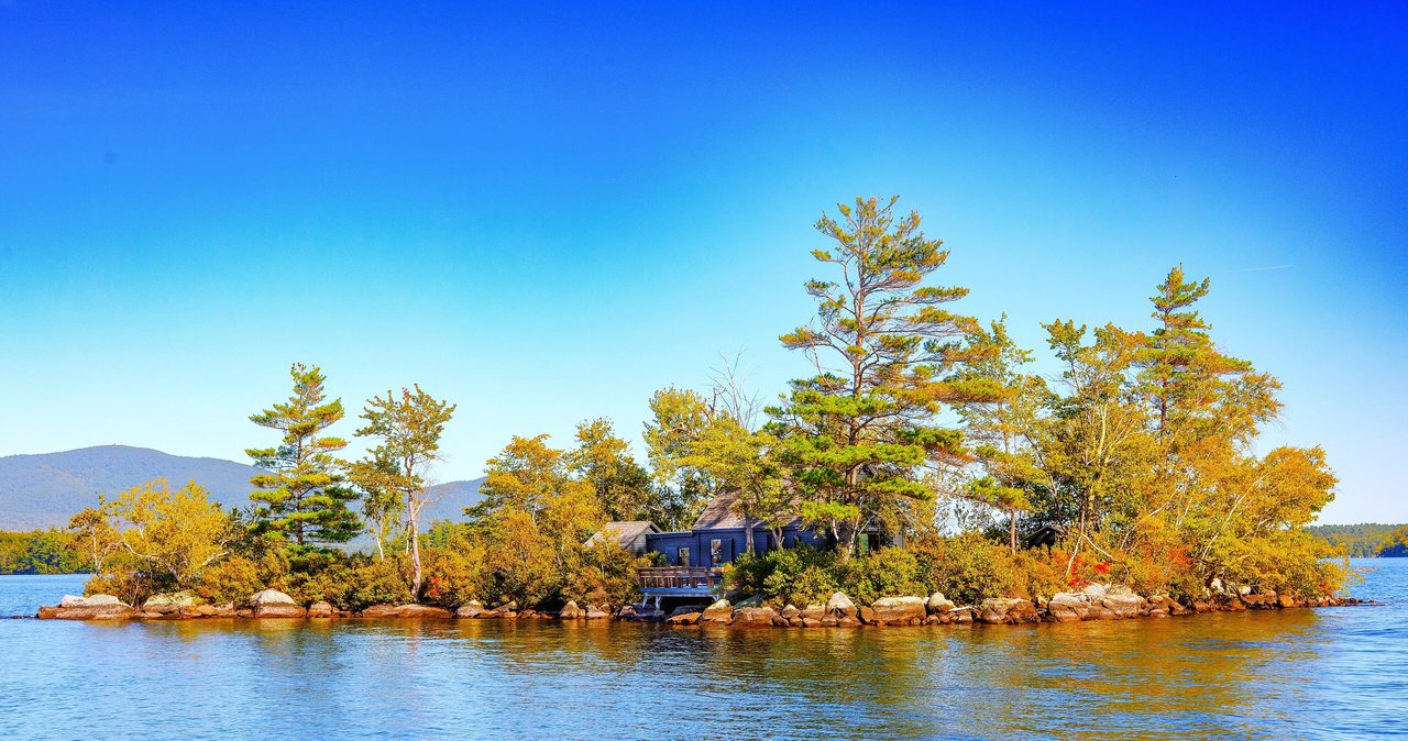
Below is Squam Lake in its entirety: Little Squam to the west, the main lake spread out to the south and east with its islands, Rattlesnake Cove and Five Finger Point directly beneath you, and the Ossipee and Belknap ranges on the horizon. Turn around and the Squam Range rises behind the mountain to the north, with Mounts Morgan and Percival, the next hike over, on the skyline.
Harder ways up, and East Rattlesnake
The Old Bridle Path is the gentle route. The Ramsey Trail, which starts from Pinehurst Road near the lake, climbs the same mountain steeply and directly and makes a good loop for people who want more of a workout; its start is harder to find and its footing is rougher. From the West Rattlesnake ledges the Ridge Trail continues east along the crest for about a mile to East Rattlesnake, a wooded summit with its own ledge outlook over the lake and far fewer people; the round trip from the lot is about 3.8 miles.
Below the mountain on the lake shore, the Five Finger Point trails wind through a conservation peninsula of coves and small beaches owned by the association, reached by a longer walk down from the ridge. They are the quiet corner of the whole area and a good extension on a hot day.
Sunset, and the crowd that comes for it
West Rattlesnake is the Lakes Region's sunset hike. The ledges face west and south over the water, the light in the evening turns the lake to metal and the Squam Range to silhouette, and on a summer evening a hundred people may be sitting on the rock waiting for it. It is a pleasant scene and a slow drive home. If you go for sunset, bring a headlamp for the descent, because the woods are dark long before the lake is, and remember that the lot empties all at once onto a narrow road.
On Golden Pond
Squam Lake is the lake in the 1981 film On Golden Pond, and the area does not let you forget it. The house used in the film stands on a private cove and is not open to visitors, but the Squam Lakes Natural Science Center in Holderness runs narrated pontoon-boat cruises on the lake in season that cover the filming locations along with the loons and the lake's natural history, and a private outfit offers tours that pass the house. Paired with the hike, a cruise makes a full and easy day.
Paddling and swimming after the hike
The Squam Lakes Association rents canoes, kayaks and paddleboards to the public from its headquarters on Route 3 in Holderness from Memorial Day weekend to Columbus Day weekend, by the hour or the day, with life jackets and paddles included. Little Squam and the coves near Holderness are calm water for a beginner. For a swim, the association's Chamberlain-Reynolds Memorial Forest on the lake's south shore has small beaches reached by a short walk, and the town beach in Holderness is at the bridge.
Seasons
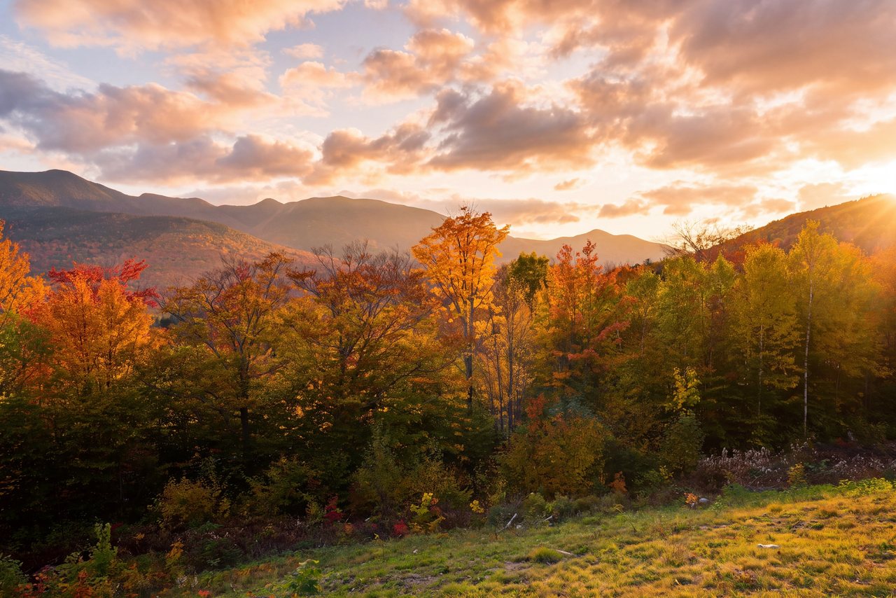
May, once the mud-season closure lifts, through October is the season. Early summer mornings are the quietest; July and August weekends are the busiest days on any trail in this guide. Foliage comes to the oak and maple slopes in the second week of October, a little later than the notch, and the view over a lake ringed with color is the reason the lot overflows then.
Winter is possible and pretty, with the lake frozen white below the ledges, but the granite ices and the Old Bridle Path's steps are slick; carry microspikes and keep well back from the edge.
Who this hike is for
Anyone who wants a big view for a small effort: a first walk of the trip, a gentle day for mixed abilities, an evening hike after a day on the water. Couples who want to sit on warm rock over a lake. Anyone planning a day in the Lakes Region who wants one real hike in it.
It is not a wilderness experience; expect company. For a quieter Squam summit with a real climb, Mounts Morgan and Percival start a few minutes up the same road.
What to carry
Water for a couple of hours, a snack for the ledges, sun protection because the summit is open rock, and a layer for the breeze off the lake. Trail shoes or sneakers with grip are fine. A headlamp if you are staying for sunset. From October on, microspikes for the icy steps and ledges.
Cell service is decent on this side of the lake, but the usual rules hold: leave your plan with someone and keep back from the edge. The $25 hikeSafe card is voluntary and covers every trail in the state.
Safety & conditions
- The summit ledges are open, unfenced granite that slopes toward a real drop. Sit well back, resist stepping backward for photographs, and take wet, dewy or iced rock slowly; this is the one spot on an otherwise easy hike that calls for care.
- If you stay for sunset, carry a headlamp. The woods are dark well before the lake is, and the stone steps are hard to see in the dusk.
- Park in the lot or come back later. The shoulder of Route 113 is narrow, the road is fast, and cars parked on it have been ticketed; walking the road edge to a lot full of departing traffic is the trickiest part of the evening.
- Respect the Squam Lakes Association's mud-season closure, usually in April. Hiking a closed trail erodes it and can lose the public its access.
- The ledges face the sun with no shade. Carry water and sun protection in summer, when the rock is hot by noon.
- In winter the stone steps and the granite ice over. Carry microspikes and stay well back from the corniced ledge edge.
- Ticks are common in the oak and grass of this lower, warmer country. Check yourself after the hike; New Hampshire has one of the highest rates of Lyme disease in the nation.
Where to stay for it
The drive is a straight run down the interstate and then a pretty lakeside road. From 191 Pollard Road take I-93 South about 25 min to Exit 24 for Ashland and Holderness, follow US Route 3 east into Holderness village at the bridge between Little Squam and Squam Lake, and turn onto NH Route 113 north. The Old Bridle Path lot is on the right after about 5.5 miles of lake and woods. Allow 40 min.
Our guests build a Lakes Region day around it: the hike first thing while the lot has room, a cruise on Squam or a paddle from the association's dock in Holderness, lunch by the water, and home up the interstate by late afternoon. In foliage season the reverse works too, with the hike late in the day when the light is on the lake, as long as you accept the crowd.
The Squam Lakes Natural Science Center in Holderness, with its live animal trail and lake cruises, is the other half of the day for anyone who likes wildlife; our Squam Lake guide covers it.
Useful links
- Squam Lakes Association: trails and mud-season closures
The trail maintainers; check here for the April closure and the trail map. - Squam Lakes Association: boat rentals
Canoes, kayaks and paddleboards from the Holderness headquarters, Memorial Day to Columbus Day. - Squam Lakes Natural Science Center: lake cruises
Narrated pontoon cruises on Squam Lake, including the On Golden Pond locations, in season. - hikeSafe: the code and the card
The six-point hiker responsibility code and the $25 / $35 voluntary card. - Our Squam Lake guide
The lake, the science center and the town of Holderness for the rest of the day. - Our Mounts Morgan and Percival guide
The next hike up Route 113, with ladders, caves and a real climb.
Sources & official info: squamlakes.org · alltrails.com · conwaydailysun.com · laconiadailysun.com · nhnature.org
— Launchpoint Lodge, From the lodge