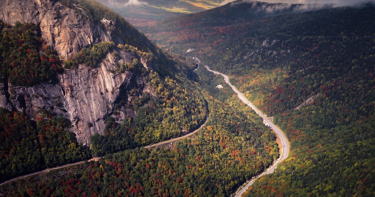
Albany to Lincoln is a drive across two mountain ranges. You leave the Hudson Valley, climb over the spine of the Green Mountains, cross the Connecticut River, and finish in the Whites, about 194 miles and roughly four hours in all. Most of it is scenic two-lane through Vermont and open interstate at the end, so it drives smaller than it reads on a map.
The routes fan out because Vermont has no east-west interstate. The fastest line runs US Route 4 across Vermont to White River Junction, then I-89 and I-93 the rest of the way. The prettiest ends over Kinsman Notch on a two-lane state road. Both work, and this guide walks each so you can pick by weather, daylight, and how much of the drive you want to make part of the trip.
Four hours makes this a three-night weekend rather than a day trip: drive up Friday and settle in, two full mountain days, and home Sunday or Monday against lighter traffic. Because the lodge uses keyless self check-in, a late Friday arrival costs you nothing but a later dinner.
The route across Vermont
Getting out of Albany is the only fussy part. The clean way is I-90 East across the Hudson to East Greenbush, where US Route 4 begins at the junction with US 9 and US 20; from there US 4 East carries you the length of Washington County through Mechanicville, Schuylerville, Fort Edward, Fort Ann, and Whitehall. If you would rather run the Northway first, take I-87 North to Route 149 and drop onto US 4 near Fort Ann. Either way you are on US 4 East and pointed at Vermont.
You cross into Vermont at Fair Haven, where US 4 briefly widens to a four-lane expressway before settling back into a two-lane highway. It runs through Rutland, the one real city on the Vermont stretch, then climbs over Sherburne Pass at 2,150 feet, the height of land on US 4, with Pico Mountain right at the pass and the Killington resort a few miles south. From the pass it drops down the Ottauquechee valley to White River Junction on the Connecticut River. That is the classic Albany-to-New-England line, and it is about two-thirds of the whole drive. White River Junction is where you decide how to finish.
Finishing the drive into New Hampshire
The interstate finish. Cross the river and take I-89 South, which despite the sign runs roughly southeast, down to Concord, then I-93 North about an hour to Exit 32. It is all highway from the river on, the fastest and most weatherproof line, and the one to take in a storm or after dark. This route is toll-free. The Hooksett toll on I-93 sits south of Concord, between Manchester and Concord, and because you join I-93 coming in on I-89 you slide onto the highway north of it and never pass the toll.
The back door. At White River Junction, take I-91 North instead, up the Connecticut River to Woodsville and Wells River, then NH Route 112 East over Kinsman Notch into North Woodstock and Lincoln. Route 112 is a real state highway, plowed and open year-round, but it is a mountain road: two lanes, no services in the notch, and a pass that can be white while the valleys are still just wet. In daylight and dry weather it is one of the prettiest arrivals in the Whites, dropping you into Lincoln from the west past a run of gorges and cascades. On a winter night, leave it for another trip and stay on the interstates.
Timing the drive
US 4 across Vermont is two-lane through towns and moves at its own pace. It gets slow on foliage weekends and on ski Saturdays around Rutland and Killington, when the whole Northeast seems to be on the same road. The fix is to leave Albany early. Out the door by seven and you are in Lincoln for a late lunch, with the afternoon still yours. Rutland is the natural halfway pause, and the interstate half of the drive rarely bogs down.
Coming home, Sunday or Monday runs against the grain of the weekend traffic almost any time of day, so there is no need to bolt early. If you can steal a Monday, take it. The drive back down US 4 is a different show in afternoon light than it was heading out in the morning.
Stops worth making
The roadside stop worth making on the Vermont half is Quechee Gorge, right on US 4 about three miles west of White River Junction. At 165 feet it is the deepest gorge in Vermont, and you can look straight down into it from the highway bridge; short trails run along both rims, and a state visitor center sits by the bridge if you want maps or a break. 10 min here is enough to stretch your legs and take in the view.
A few miles west of the gorge, Woodstock village is the postcard: an elliptical green at the center of town, a covered bridge over the Ottauquechee right downtown, and a walkable run of independent shops, bookstores, and cafes. It is the lunch stop if you want a proper one. Rutland, back before the pass, is the practical stop instead, with gas, a pharmacy, and full grocery stores before you climb into thinner country.
On the interstate finish there are two reliable stops of a different kind: the New Hampshire welcome centers along I-93, and the Tanger Outlets at Tilton, an open-air outlet center at I-93 Exit 20 with dozens of stores, if the drive is also a shopping run.
The back way over Kinsman Notch
If you take the Route 112 arrival, the stop to know about is Lost River Gorge and Boulder Caves, in Kinsman Notch on Route 112, about six miles west of North Woodstock. It is a ticketed seasonal attraction, open spring into fall, built around a mile of boardwalk that threads a boulder-choked gorge, past waterfalls and caves you can climb down into. It closes for the winter and runs a shorter week in the shoulder seasons, so check current hours before you count on it.
Just past it, the Beaver Brook trailhead is free and marks the start of the Beaver Brook Trail, the steep Appalachian Trail route up Mount Moosilauke that climbs alongside a long run of cascades. The full hike is a serious, strenuous day and not a casual roadside stop, but a short out-and-back to the lower cascades rewards a quick stretch of the legs.
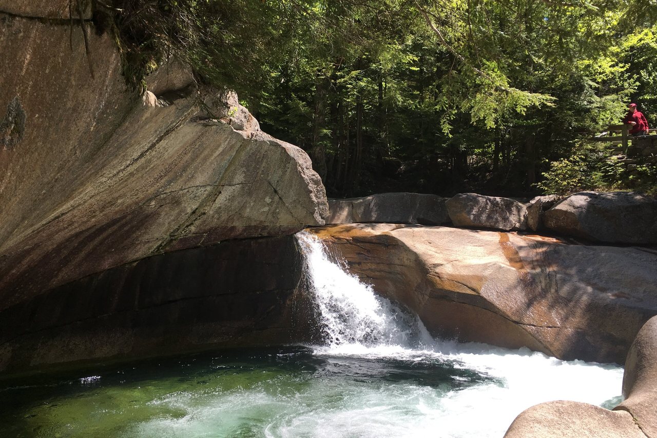
Closer to town, Agassiz Basin is a small granite gorge on Moosilauke Brook right off Route 112 just before North Woodstock, a free 2 min stop if you want one more look at moving water. There is no gas and no services anywhere in the notch itself, so fill the tank in Woodsville before you start the climb, or wait until you are down in Lincoln.
Arriving in Lincoln
Both routes end the same way: I-93 Exit 32 from the interstate finish, or Route 112 straight in from the west, and the lodge 5 min on, in the middle of Lincoln. Dinner is walkable. Basecamp Brewing, the Lincoln brewpub that was One Love until its 2025 rebrand, sits over at South Peak, with more along Main Street a short stroll from the house.
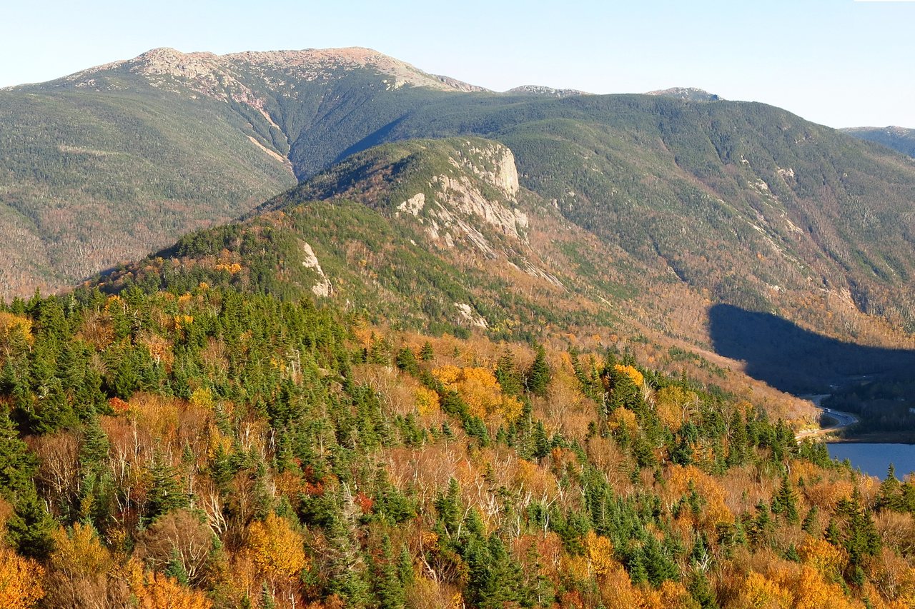
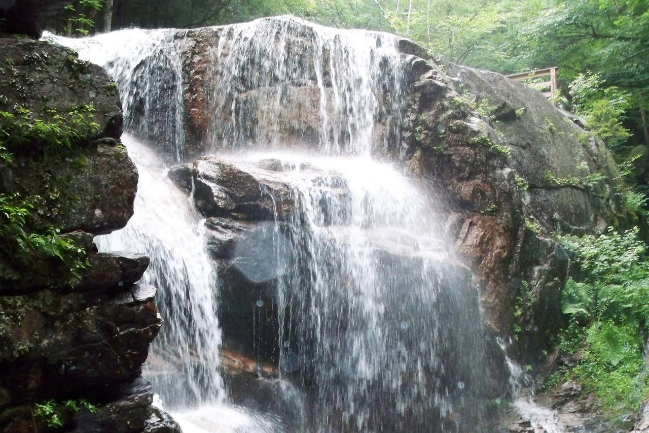
The reason to point the whole drive at Lincoln is what sits just down the road. Loon Mountain is about 6 min east. Flume Gorge is about 12 min. The heart of Franconia Notch State Park is about 10 min north, with the deep-notch overlooks at Profile Lake and Cannon about 16 min. And the Kancamagus Highway starts at the end of the street, 34 miles of it to Conway with no gas, no services, and no cell signal for its length, so fuel up in town before you drive it.
Foliage and winter driving
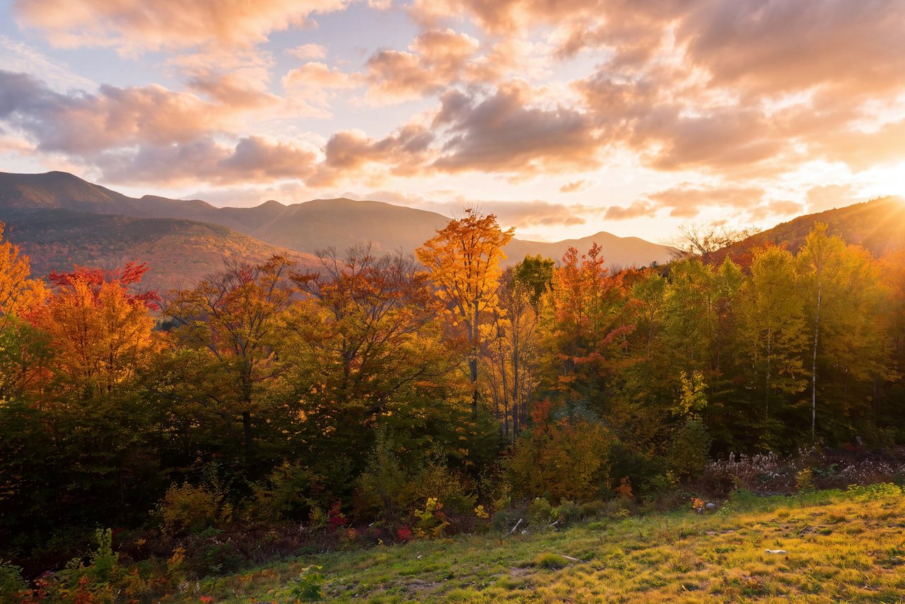
Foliage in the notches usually peaks the last week of September into mid-October, and that is exactly when US 4 and the passes are busiest. Leave earlier than you think you need to, and time the Quechee and Woodstock stops for mid-morning before the day-trippers fill the lots.
In winter, both passes climb into snow before the valleys do, Sherburne on US 4 and Kinsman on Route 112. In a storm or after dark, take the interstate finish, I-89 to I-93, and skip the Route 112 crossing. Trailhead parking in the White Mountain National Forest needs a recreation pass, $5 a day or $30 for the year, sold at the trailheads and online.
Two current notes worth having before you plan hikes around the drive. The Cannon Mountain aerial tramway was retired after its last day on October 26, 2025, and no reopening date has been announced; the Cannon ski area itself still runs, and every other Franconia Notch attraction is open as usual. And the Lincoln Woods Trail off the Kancamagus is closed for the 2026 season, so confirm current trail status before you build a day around it.
The Whites compared with the Adirondacks
The Adirondacks are closer to Albany, and the High Peaks are worth their own trips. But the White Mountains are the taller, harsher, more alpine range, and the drive buys you something you cannot get closer to home: Franconia Ridge running above treeline, Mount Washington over the next notch, and the Kancamagus just down the road. Four hours is a fair price for that.
On a first visit, plan around the notch classics and one hike matched to your legs, and let the drive itself be part of the trip. On a repeat visit you already know the shape of the place, and the summits are what pull you back.
Where to stay when you arrive
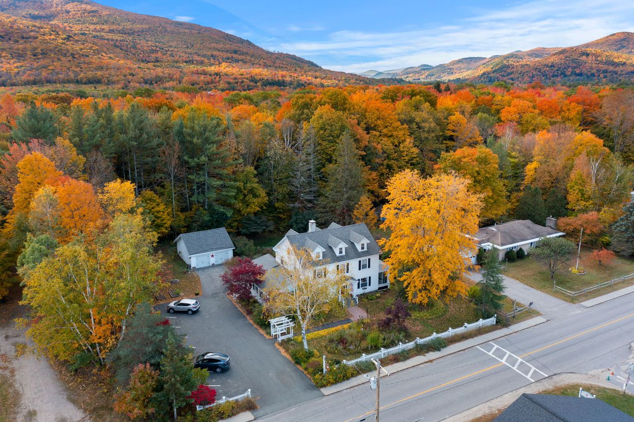
Launchpoint Lodge is a six-suite, adults-only inn 5 min past Exit 32, in the middle of Lincoln. Keyless self check-in means the drive can end whenever it ends: your door code is on your phone before you leave Albany, and the house lets you in the same way at three in the afternoon or eleven at night. That matters when US 4 has slowed you down or you lingered a little longer at Quechee Gorge, and your virtual innkeeper is only a message away.
Check-in is 3 PM and checkout is 10 AM, and the best rate is always the one you book direct. From the door you are minutes from Loon, the Flume, and Franconia Notch, and the Kancamagus starts at the end of the street, so the driving is over the moment you arrive.
Sources & official info: dot.nh.gov · vtrans.vermont.gov
— Launchpoint Lodge, From the lodge