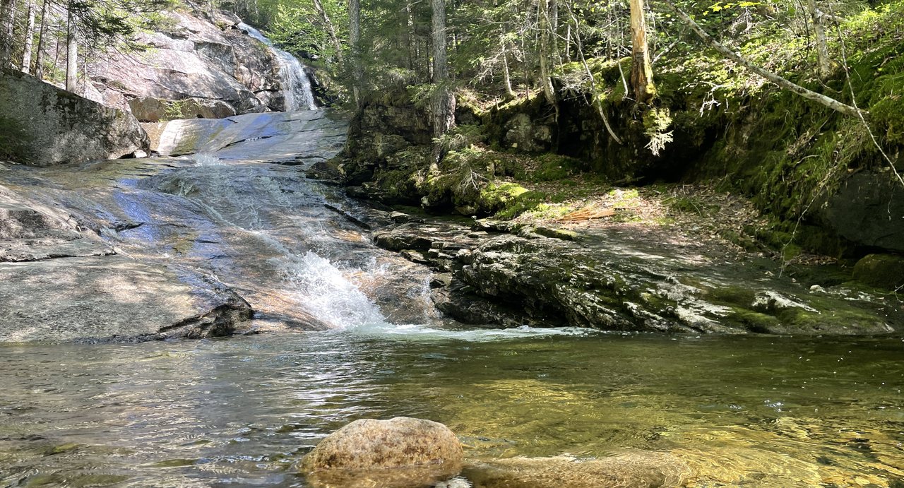
Most of the natural sights around Lincoln take a drive up the notch or along the Kancamagus. Agassiz Basin takes 6 min. It sits beside Route 112 about a mile and a half west of the traffic light in North Woodstock, where Moosilauke Brook, coming down off the mountain of the same name, has cut a short, deep gorge through the granite and drilled it full of potholes: round, smooth-walled bowls scoured out of the rock by stones spinning in the current over thousands of years. The water slides from one to the next in a series of small falls that add up to only eight or ten feet, and the whole thing is over in a hundred yards. It is one of the best small geology lessons in the White Mountains, and almost nobody driving past knows it is there.
The place goes by two names. Agassiz Basin honors Louis Agassiz, the Swiss-born Harvard naturalist who in the 1840s convinced the scientific world that ice sheets had once covered the northern continents, which is exactly the story these potholes tell. Indian Leap comes from a local legend that jumping the narrow gorge was once a test of courage for young men. We do not recommend testing it; the rock is polished, steep and offers no handholds, and the one rule of the place is to admire it from the top.
This is a short guide for a short stop: where the pull-off is, what you are looking at, the naturalist and the legend, when the brook runs biggest, and why the tempting pools are for looking, not swimming. It pairs naturally with the Lost River Gorge a few miles farther up the same road.
Where it is and where to park
Agassiz Basin is on the south side of NH Route 112, the Lost River Road, about 1.6 miles west of the junction with US Route 3 in the center of North Woodstock. It sits directly behind Govoni's, the seasonal Italian restaurant on the roadside, and the easiest landmark is the restaurant itself. There is a small pull-off area beside the road; park fully off the pavement, and if the restaurant is open, leave its lot to its diners unless you are one of them. A footbridge crosses the gorge, and short paths lead along the rim on both sides.
There is no sign of any size, no fee, no toilet and no ranger. It is town-recognized rather than a park, which is part of the charm and the reason to treat it gently.
What you are looking at
The gorge is a slot in coarse granite perhaps twenty feet deep, and its walls and floor are carved into a series of potholes, some the size of a bathtub and some big enough to hold a car, connected by chutes and small cascades. Potholes form when the current traps stones in a hollow and spins them for centuries, grinding the rock into a smooth bowl; when the brook is low you can see the rounded grinding stones still sitting in the bottoms of some. The whole system began when meltwater from the retreating ice sheet poured through here with far more force than today's brook can muster, and the brook has been polishing the result ever since.
The footbridge is the best viewpoint, looking down into the largest bowls, and the rim paths give the length of the gorge. In high water the chutes roar and fill; in August the brook slides quietly from pool to pool and the sculpted rock is all exposed. Both are worth seeing, and the difference is the point.
Louis Agassiz and the ice
The name commemorates Louis Agassiz, born in Switzerland in 1807, who came to Harvard in 1847 and became the most famous naturalist in America. His great contribution had been made a few years earlier in the Alps: the idea that glaciers had once extended far beyond their present limits and that a vast ice age had shaped the landscape of the northern world. He read that story in scratched bedrock, out-of-place boulders and gorges like this one, and he toured the White Mountains looking for the evidence. Naming a pothole gorge for him was a compliment the nineteenth century paid to the man who explained it; a mountain in Bethlehem carries his name as well.
Indian Leap, the legend
The older name, Indian Leap, comes from a story told locally for generations: that young men of the Abenaki, or in some tellings young men of the early settlements, proved their courage by leaping the narrow gorge where the walls come closest together. Whether anyone ever did it is not recorded, and the story belongs to the category of White Mountains legend rather than history. What is certain is that the gap looks jumpable from the rim and is not, because the landing is polished, sloping rock above deep, churning water.
The one rule: look from the top
Every guide to the place says the same thing, and so do we. The granite around the potholes is smooth and steep, there is nothing to hold, and the water in the chutes and bowls is fast, cold and full of hydraulics that hold whatever falls in. People are tempted to climb down for a closer look or a swim in the pools, and it is the worst idea on this stretch of road. Stay on the bridge and the rim paths, keep children and dogs close, and photograph the water from above. The Pemigewasset River pools and the Basin in Franconia Notch are the places to get wet.
When to come
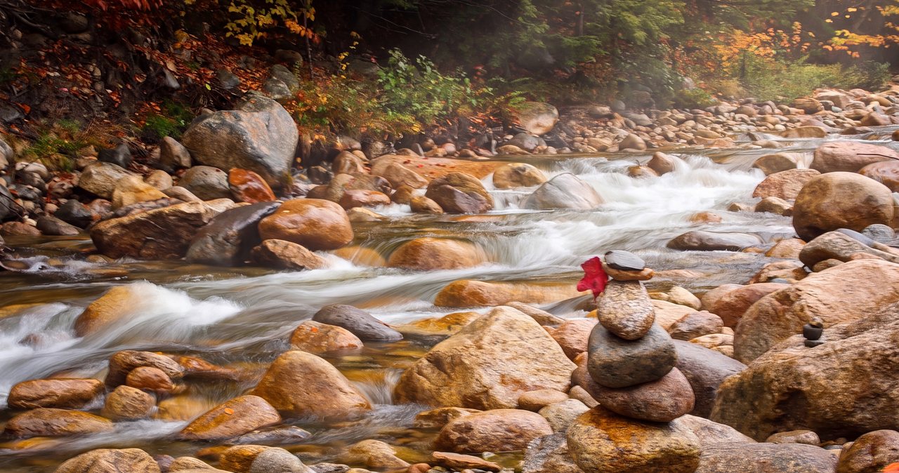
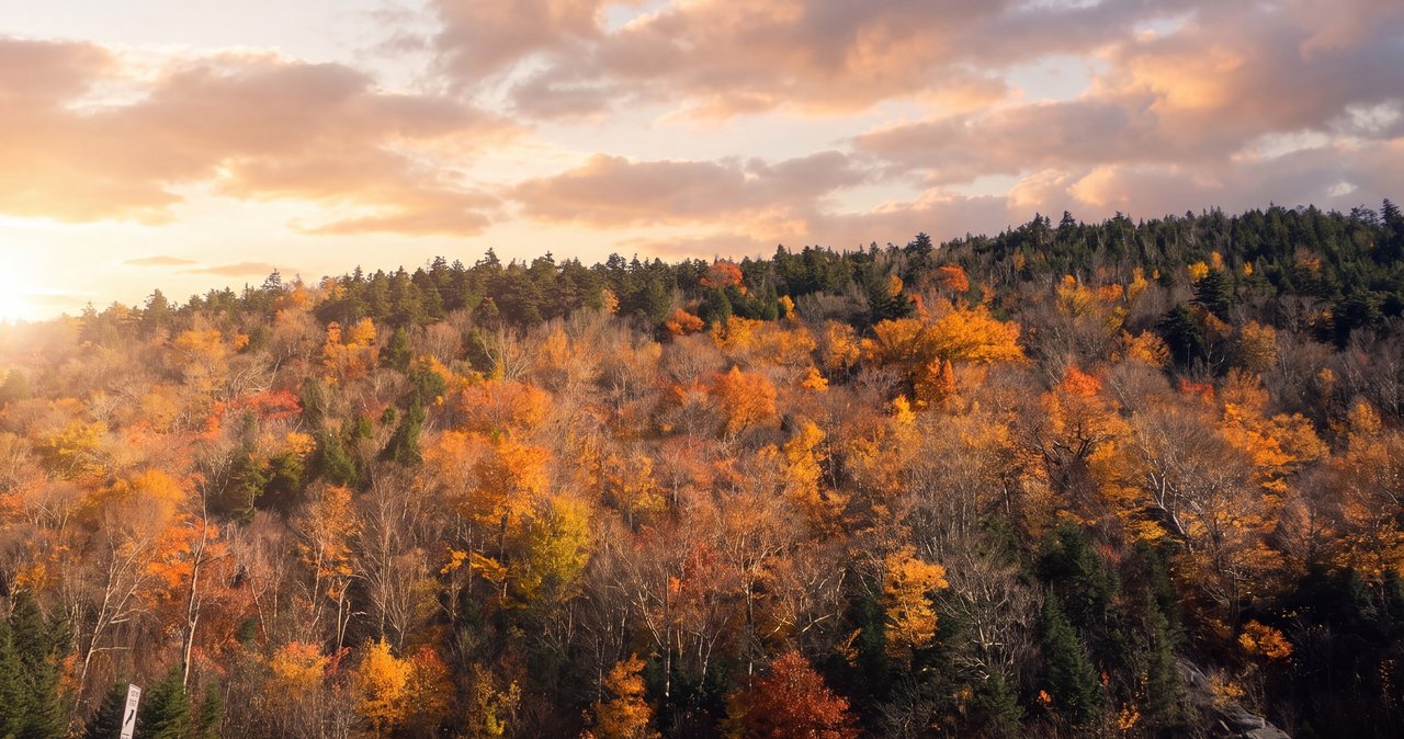
Late April through early June, when snowmelt off Moosilauke fills the gorge, is the loudest and most dramatic time. Late summer shows the carved rock best. October brings foliage to the maples above the brook and the light comes low into the gorge in the afternoon. In winter the pull-off is often unplowed and the rim is icy, so enjoy the gorge from the bridge or save it for another season.
Making more of the stop
Agassiz Basin is a 15 min stop that fits at the start of a western half day. Route 112 continues up the Lost River valley to the Lost River Gorge and Boulder Caves, the boardwalk attraction six miles farther on, and over Kinsman Notch past Beaver Pond and the Beaver Brook Cascades trailhead. Coming back, North Woodstock's Main Street has dinner and the brewery. For a longer walk on the same brook, the Lost River is the answer; for a similar geology lesson with a bigger crowd, the Basin in Franconia Notch is 14 min the other way.
Safety & conditions
- Look from the top. The granite around the potholes is polished and steep with no handholds, and the water below is fast, cold and full of hydraulics. Climbing down for a photograph or a swim is the worst idea on this road.
- Keep children and dogs close on the rim paths; the edge is unfenced and the drop is sudden.
- Do not test the legend. The gap looks jumpable from the rim and the landing is sloping, wet rock above deep water.
- In winter the rim is iced and the pull-off is often unplowed. See it from the footbridge if at all, and park only where you are fully off Route 112.
- Park fully off the pavement. Route 112 is a fast road here and cars pulling in and out of the pull-off are the most likely accident.
Where to stay for it
This is the shortest drive in any of our guides. From 191 Pollard Road head west on Route 112 through North Woodstock, past the light at Route 3 and the village, and continue about a mile and a half up the Lost River Road; Govoni's Restaurant is on the left and the pull-off for the basin is beside it. 6 min.
Our guests fold it into a western afternoon: the basin first, the Lost River Gorge six miles on, and dinner back in North Woodstock on the way home. Or it is the 10 min thing to see on an arrival evening before check-in, when the light is low and the brook is loud.
Useful links
- Town of Lincoln: Agassiz Basin
The town's own listing of the roadside sight. - Our Lost River Gorge guide
The boardwalk gorge and boulder caves six miles farther up the same road. - Our guide to the Basin in Franconia Notch
The famous granite pothole on the Pemigewasset, about 14 min from the lodge. - Our swimming holes guide
Where to get wet safely near Lincoln, since this is not the place.
Sources & official info: lincolnnh.gov · nhtourguide.com · nhmagazine.com
— Launchpoint Lodge, From the lodge