Nine and a half miles up the Kancamagus from Lincoln, just before the highway swings into its big hairpin toward the pass, a trailhead on the south side of the road leads to the Greeley Ponds. The walk in is about a mile and a half of gentle climbing on a good trail, and it ends at Upper Greeley Pond, a dark green tarn ringed by old-growth spruce with the cliffs of East Osceola rising on one side and Mount Kancamagus on the other. Half a mile farther, Lower Greeley Pond is shallower and marshier, a beaver pond with a view.
The ponds sit in Mad River Notch and are the source of the Mad River, which runs south from here through Waterville Valley. The Forest Service protects them as the Greeley Ponds Scenic Area, which means no camping and no fires, and it shows: the shoreline is unspoiled, the big trees are still standing, and the loudest thing you will hear is a loon or the wind in the notch. For an easy morning that still feels like the mountains, it is one of the best walks along the whole highway.
This guide covers the trail from the Kancamagus, the junction with the Mount Osceola Trail that sends most of the parking lot up the mountain instead, the two ponds and what each is good for, the fee and the restrooms, fishing, the longer through-route to Waterville Valley, and the winter version on skis. The drive from the lodge is about 20 min up the Kanc.
The numbers
From the Kancamagus trailhead the Greeley Ponds Trail reaches the junction with the Mount Osceola Trail at 1.3 miles, the north end of Upper Greeley Pond at about a mile and a half, and Lower Greeley Pond about half a mile beyond that. Seeing both ponds and returning is about 4.4 miles round trip, with roughly 400 feet of elevation gain spread so evenly that most people never notice a climb. Allow two to three hours with lunch at the water.
The trailhead sits near 1,900 feet, and Upper Greeley Pond is at about 2,245 feet in the floor of Mad River Notch. The trail continues south past the lower pond, descending along the Mad River to meet the Livermore Trail near the Livermore Road trailhead in Waterville Valley at about 5.1 miles, which is the through-hike option for anyone with two cars.
The trailhead: shared with Osceola, so arrive early
The Greeley Ponds trailhead is on the south side of the Kancamagus about 9.6 miles east of Exit 32 in Lincoln, or 25.4 miles west of Conway, just before the highway's hairpin turn on the way up to Kancamagus Pass. It has vault toilets and no drinking water. It is also the trailhead for the steep Mount Osceola Trail up East Osceola, one of the popular 4,000-footer routes, so the lot fills early on fine weekends, and parking along the roadside is not allowed. On a Saturday in July or a foliage weekend, be parked by eight.
Like the other Kancamagus trailheads, it is a White Mountain National Forest fee site. Display a recreation pass or pay the day fee at the kiosk, about five dollars, with cash or a check for the envelope; there is no card reader and no change. An annual pass is thirty dollars and pays for itself in a week of hiking here.

The trail to Upper Greeley Pond
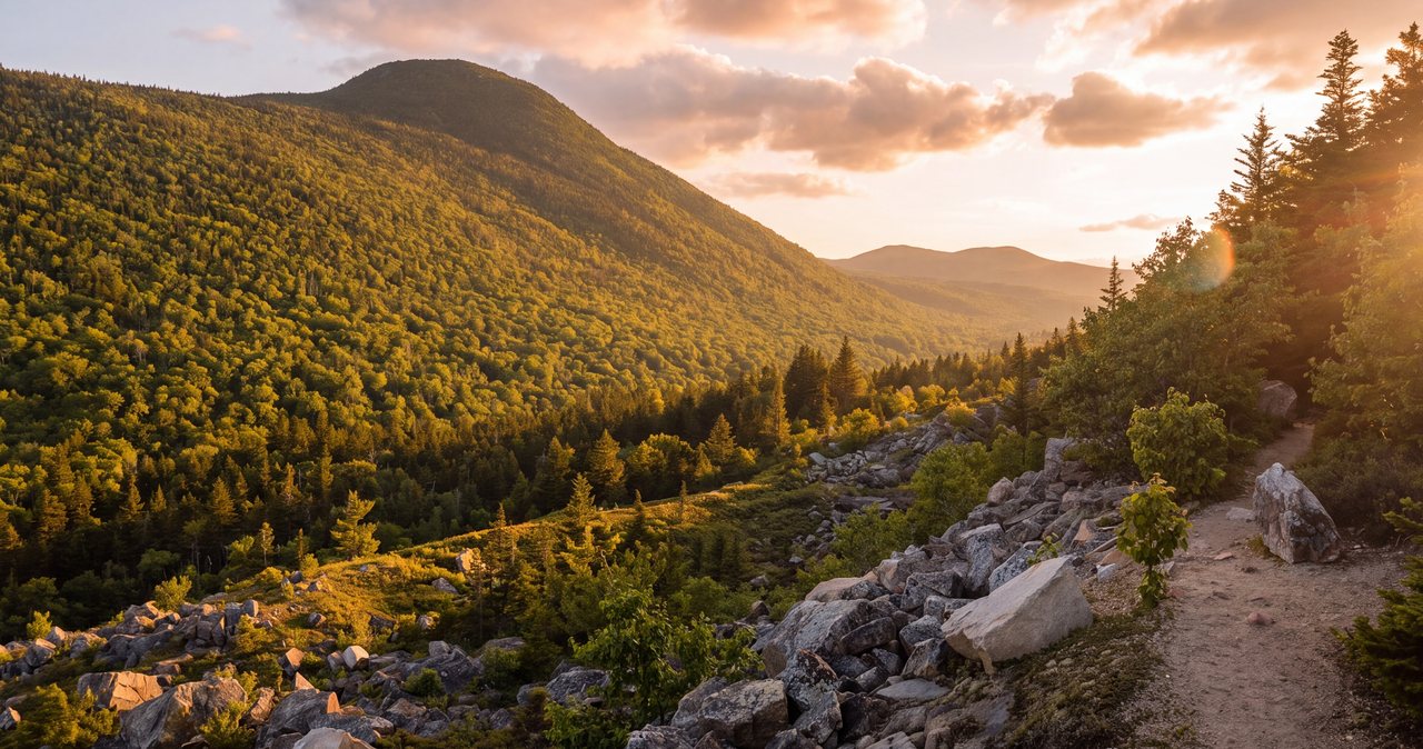
The trail leaves the lot on a wide, well-used path that has been rerouted and hardened in places to handle the traffic. It climbs gently through mixed woods, crosses a couple of small brooks on footbridges or rocks, and runs along a line of bog bridges over the wet stretches. At 1.3 miles the Mount Osceola Trail forks off to the right and starts climbing immediately; nearly everyone who parked beside you goes that way. Stay left, and the trail eases through spruce toward the notch.
Upper Greeley Pond arrives first as a gleam through the trees and then as the whole picture: a deep, dark, aqua-green pond with a rocky shore, tall old spruce leaning over the water, and the cliffs of East Osceola rising straight up on the west side. The trail passes along the east shore with several spots to sit. The north end near the outlet is the usual lunch rock; the middle of the east shore has the best view of the cliffs and the slide scars above them.
Lower Greeley Pond and the notch
Continue south along the trail for about half a mile and you drop slightly to Lower Greeley Pond. It is a different place: shallow, marshy at the edges, ringed with the drowned stumps and lodges of a working beaver pond, and open enough to give a longer view back up the notch. It is the better pond for wildlife, especially early or late in the day, and the worse one for swimming. Between the two ponds the trail passes the height of land in Mad River Notch, though you will barely feel it.
The notch is the reason for the scenic area. The old-growth red spruce here escaped the logging that stripped most of the Whites, and the cliffs and slides on East Osceola are a reminder that this is steep country even where the trail is flat. Camping and fires are prohibited throughout the scenic area, and the shoreline is fragile; stay on the rocks and the trail.
Fishing the ponds
Upper Greeley Pond is a known brook trout pond and draws fly anglers, especially in late spring and on summer evenings, when the cliffs shade the water early. Fishing is from the shore rocks; there is nowhere to launch anything and no reason to try. A New Hampshire license is required for anyone sixteen and over, sold online by New Hampshire Fish and Game and through agents, and the fly shop on Main Street in Lincoln is the local source for flies and the current word on the pond. Check the state's trout pond regulations for the season and limits before you cast; they differ from the rivers.
Swimming
People do swim in Upper Greeley Pond from the rocks on the east shore, and in August it is a memorable place to do it. The water is cold, the bottom drops away fast near the shore, and there is no lifeguard and usually no one else around. Ease in rather than jumping, stay close to shore, and save your swim for the upper pond, since the lower one is shallow, muddy and full of beaver work.
The through-hike to Waterville Valley
Past Lower Greeley Pond the trail follows the young Mad River south, descending gradually through the woods for another two and a half miles to the Livermore Trail near the Livermore Road trailhead in Waterville Valley, about 5.1 miles from the Kancamagus. With a car at each end it is a pleasant one-way walk downhill most of the way, and Waterville Valley has lunch at the end of it. The Livermore trailhead has a parking fee of its own. Note that the Greeley Ponds Trail can also be walked from the Waterville side; that approach is longer and gentler and much less used.
Winter: the ski route
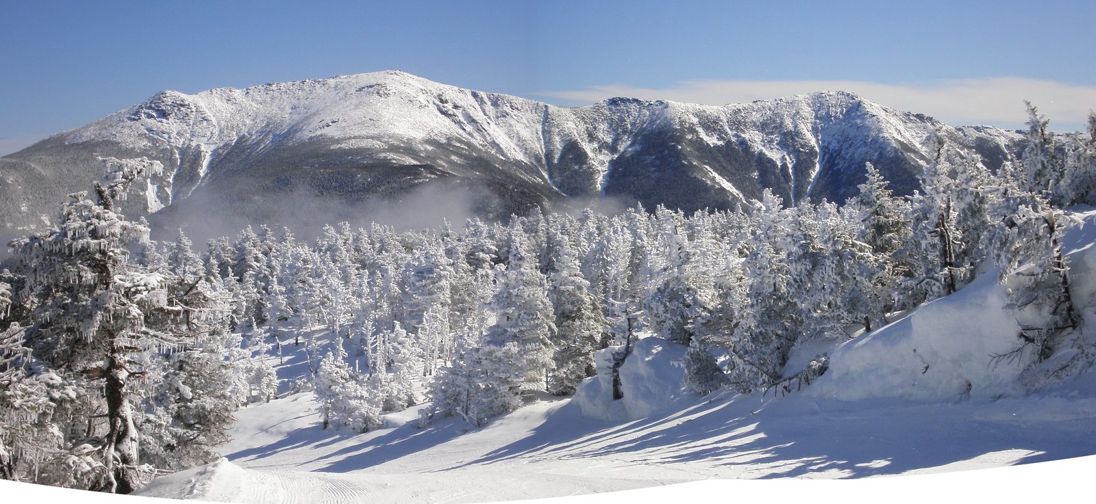
The Greeley Ponds Trail is one of the classic backcountry ski routes off the Kancamagus, gentle enough for cross-country skis and snowshoes and rewarding at the ponds, where the frozen surface and the snow-plastered cliffs make a very different scene from summer. The Kanc is plowed and open year round, though the trailhead lot is not always fully cleared after a storm. Bog bridges and footbridges ice over; carry microspikes if you are on foot. Stay off the pond ice unless you know how to read it, and remember that the notch holds cold air and the days are short. Do not confuse this with a groomed trail: it is ungroomed, and dogs are allowed here in winter, unlike on the Livermore Road side.
Seasons and bugs
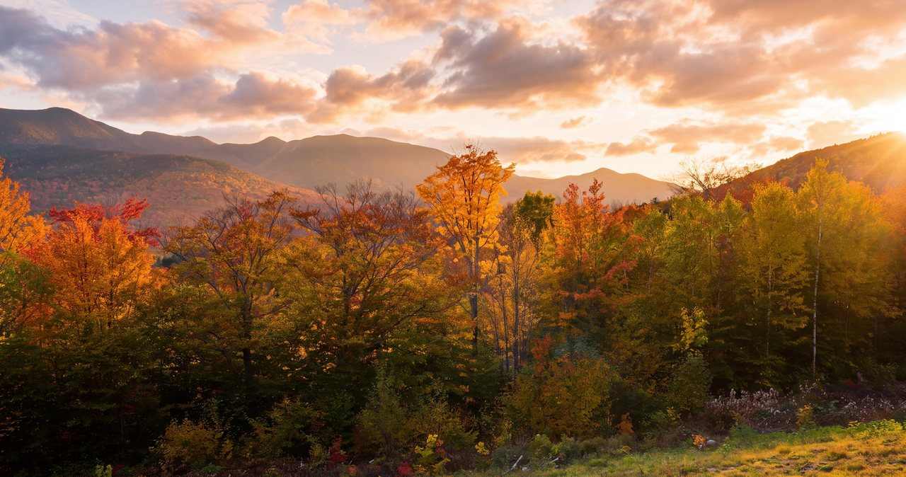
June through early October is the walking season, with the ponds at their best on still, clear mornings before the wind comes up the notch. Foliage arrives in the first week of October and the birches over the dark water are as good as anything on the highway. Black flies own the shorelines from late May into early July and the mosquitoes hang on longer at the lower pond; bring repellent and a head net for a June visit. Mud season, April into May, is wet and the bog bridges float; give the trail that month to recover.
Who this hike is for
Anyone driving the Kancamagus who wants to get out of the car and into the mountains without a summit: it is the natural leg-stretcher on a Kanc day, and the best easy walk on the Lincoln end of the highway. Couples who want a quiet lunch by the water. Anglers. Skiers in winter. Families with older children; at the lodge, guests 12 to 17 are welcome with an adult.
It is not for anyone who needs a view from a height; you look up at the cliffs, not down from them. People who want the summit take the Mount Osceola Trail from the same lot, and our East Osceola and Mount Osceola guide covers that far harder day.
Safety & conditions
- This is a shared trailhead with the Mount Osceola Trail, and the Kancamagus roadside is not legal parking. Arrive early on weekends; if the lot is full, come back later rather than parking on the highway, where cars are ticketed and the shoulder is unsafe.
- Bog bridges and footbridges are slick when wet and ice over from October into May. Cross one person at a time and carry microspikes in the shoulder seasons and winter.
- The upper pond is cold and drops off fast near the rocks. Ease in rather than jumping, stay near shore, and remember there is no lifeguard and rarely anyone else around. Cold-water shock can incapacitate a strong swimmer.
- In winter, stay off the pond ice unless you can judge it; the inlet and outlet ends are thin and the notch holds cold air and short daylight. Carry a headlamp on any winter trip here.
- Black flies and mosquitoes are relentless at the shorelines from late May into July. Bring repellent and a head net so the lunch stop is not a retreat.
- Moose and bears both use the notch. Give a moose a wide berth, especially a cow with a calf or a bull in the fall rut; keep food packed away at the ponds and never feed the ducks or jays that beg at the lunch rocks.
- The Kancamagus has no gas, no services and almost no cell coverage for its whole length. Download a map before you leave Lincoln, tell someone your plan, and consider the $25 hikeSafe card; New Hampshire can bill for a rescue caused by negligence under RSA 206:26-bb.
Where to stay for it
The drive is the first ten miles of the Kancamagus, which is a pleasure in itself. From 191 Pollard Road head east on Route 112 through Lincoln, past the Loon Mountain entrance and the Lincoln Woods trailhead, and follow the highway as it starts to climb along the Hancock Branch. The Greeley Ponds trailhead is on the right about 9.6 miles from the interstate, just before the road bends into its big hairpin toward the pass. Allow 20 min, and fill the tank in Lincoln, because there is nothing on the Kanc.
The ponds are the natural first stop on a Kancamagus day. Our guests walk in for a couple of hours in the morning, then keep driving east over the pass to the overlooks, Sabbaday Falls and Rocky Gorge, and come home by the same road in the late afternoon light. Or they do the reverse, saving the ponds for a quiet late-day walk when the lot has emptied.
In winter the trailhead is a 20 min drive from the lodge on a plowed highway, which makes this one of the easiest backcountry ski trips to organize from a warm bed and a cup of coffee.
Useful links
- White Mountain National Forest: Kancamagus alerts and recreation passes
Fee-site rules, trail alerts and the current pass prices for the Kancamagus trailheads. - New Hampshire Fish and Game: fishing licenses and regulations
Nonresident short-term licenses and the trout pond rules that apply to Upper Greeley Pond. - hikeSafe: the code and the card
The six-point hiker responsibility code and the $25 / $35 voluntary card. - Our Kancamagus Highway guide
The whole 34-mile drive, its overlooks and stops, so the ponds fit into a full day. - Our Mount Osceola guide
The 4,000-footer that shares this trailhead by way of the steep Mount Osceola Trail up East Osceola.
Sources & official info: visitwhitemountains.com · trailfinder.info · alltrails.com · fs.usda.gov · wildlife.nh.gov · hikesafe.com
— Launchpoint Lodge, From the lodge