The Zealand Trail is the easiest way in the White Mountains to walk to a mountain hut, a waterfall and a big view in one morning. From the end of Zealand Road the trail follows the bed of a nineteenth-century logging railroad for most of its 2.8 miles, so the grade is close to flat until the last few hundred yards. It crosses bog bridges over beaver meadows, skirts Zealand Pond, and then climbs a short, steep pitch to the Appalachian Mountain Club's Zealand Falls Hut at 2,640 feet, where Whitewall Brook drops over a series of ledges beside the front porch.
What makes the walk more than pleasant is the view from the hut. You look straight down Zealand Notch at the raw gray cliff of Whitewall Mountain, a slope that was logged, then burned in 1886 and again in 1903, and has never fully healed. The whole valley is a lesson in what the White Mountains looked like a century ago and how far they have come back. For a hiker who wants a real destination without a real climb, or a rest day between bigger mountains, this is the walk we send people to first.
This guide covers the trail as it is: the railroad-grade footing, the Zeacliff extension that turns an easy morning into a proper hike, the hut's hours and what it sells to day visitors, the gravel road that closes for half the year and turns the approach into a long ski, and the parking pass you need. The drive from the lodge is about 40 min each way through Franconia Notch and Twin Mountain.
The numbers
The Zealand Trail runs 2.8 miles from the trailhead at the end of Zealand Road to the hut, gaining about 600 feet, nearly all of it in the final quarter mile. The Appalachian Mountain Club lists one to three hours for the walk in; most people take about an hour and a quarter each way at a relaxed pace, with time at the ponds. The round trip to the hut and falls is 5.6 miles. Add the Zeacliff viewpoint, 1.2 miles above the hut on the Twinway, and the day becomes about 8 miles and roughly 1,700 feet of total climbing.
The trailhead sits a little above 2,000 feet at the end of a 3.5-mile gravel Forest Service road, which is why the elevation gain is so modest. The hut is at 2,640 feet. Zeacliff is around 3,700 feet, high enough that the weather up there can be a different day from the weather at the ponds.
The trail, from the road end to the hut
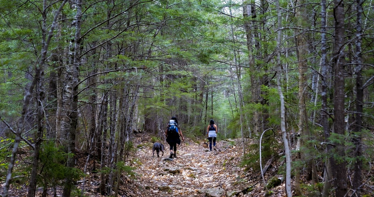
From the parking lot the trail enters the woods on the old railroad grade and stays wide and gentle. Within the first mile you cross the Zealand River on footbridges and begin to pass beaver ponds and wet meadows on long runs of bog bridging. This is the prettiest stretch of the walk in the morning: still water, the ridge of the Sugarloaves behind you, and a reasonable chance of a moose track in the mud, though seeing the moose itself is rarer than the guidebooks make it sound.
At about 2.3 miles the A-Z Trail leaves to the left toward Mount Tom and Crawford Notch, and a little past it the trail arrives at the north end of Zealand Pond. The Twinway comes in from the right here, at roughly 2.5 miles. Turn onto it and the character changes at once: the last 0.2 mile to the hut is a steep, rocky pitch beside the cascades of Whitewall Brook, the only part of the day that feels like a mountain trail. Then the woods open, the hut is in front of you, and the falls are on your right.
The bog bridges deserve a word. They are narrow, they are slick after rain, and in shoulder season they carry a skin of ice that does not look like ice. Walk them one person at a time and do not hurry. Most of the minor injuries on this trail happen on a bridge, not on a ledge.
Zealand Falls and the view down the notch
Zealand Falls is a long series of ledges and slides on Whitewall Brook rather than one plunge, and it runs right beside the hut. In late spring and after rain it roars; by August it can be a modest stream over broad slabs that people sit on with their lunch. Both versions are worth seeing. The upper slabs above the hut are the sunniest spot, and the granite there is a good place to dry socks and watch the light move on Whitewall.
The view is the reason the hut was built where it was. From the porch you look south and east down the whole length of Zealand Notch: the pale, scarred face of Whitewall Mountain across the valley, the notch floor choked with talus, and beyond it the long ridge of Mount Carrigain and the Pemigewasset Wilderness. On a clear afternoon it is the best view for the least effort in this part of the forest, and it is why a flat walk earns a place on this list beside the summits.
Zeacliff: the extension that makes it a real hike
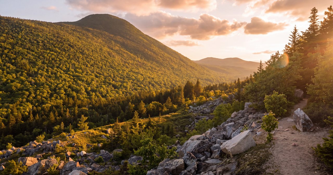
If you have the legs and the weather, continue up the Twinway from the hut to Zeacliff. It is about 1.2 miles and roughly 1,100 feet of climbing, and the trail is steep and rooty most of the way, a real change from the grade below. The reward is an open ledge with a view straight down into Zealand Notch and across the Pemigewasset Wilderness that most people call one of the finest viewpoints in the White Mountains that is not a summit. Round trip from the hut, allow two hours.
Zeacliff is also where the day turns from a walk into a hike. Above the hut you are on the Appalachian Trail, the footing is rougher, and the ledge is exposed to wind. Treat it with the same respect as a small summit: check the forecast, carry a layer and water, and turn around if the cloud is down, because a Zeacliff without a view is just a steep hill.
Zealand Falls Hut: hours, food and what a day visitor can expect
The hut was built in 1932 and sleeps 36 in bunkrooms. In 2026 it runs full service from June 4 through October 17, which means a crew, family-style dinner at six and breakfast at seven for overnight guests, and self service from October 21 through the end of the year and on through the winter, when the crew is gone and guests cook for themselves in the kitchen. Reservations are through the AMC at 603-466-2727 or online.
Day hikers are welcome inside during the day, roughly ten to five, and the crew sells snacks, hot drinks and usually soup and something baked. Water is available year round. There is no charge to sit on the porch, refill a bottle or use the composting toilets. Dogs are not allowed to stay overnight in the hut. If you are planning the walk around lunch at the hut, check the AMC's page for the current season first; the dates shift a little each year and the food offering thins out in self-service season.
Zealand Road, and the half of the year it is closed
The trailhead is at the end of Zealand Road, Forest Road 16, a 3.5-mile gravel road that leaves US Route 302 about 2.3 miles east of the village of Twin Mountain. The road is fine for any car when it is open. Just note that it is gated from mid-November to mid-May. In that window you park in the plowed lot on Route 302 about 0.2 mile east of the road, and the road itself becomes part of the hike, adding roughly three miles each way.
That turns a 5.6-mile stroll into a 12-mile winter day, which is exactly why Zealand is one of the most popular cross-country ski and snowshoe routes in the region: the road is a gentle, packed grade and the trail beyond it is nearly flat until the last pitch. If you are not a skier, the winter version is a long snowshoe and you should start early. Check the Forest Service's road status before you drive over in May or November; the gate dates move with the snow, not the calendar.
Parking, the fee and the shuttle
The Zealand trailhead is a White Mountain National Forest fee site. Display a recreation pass or pay at the kiosk: about five dollars for the day, thirty for an annual pass, or the America the Beautiful interagency pass. Bring cash or a check for the envelope, because there is no card reader in the woods. The lot holds a few dozen cars and fills on foliage weekends by mid-morning, and the road shoulders beyond it are not legal overflow.
The AMC's hiker shuttle has traditionally stopped at the Zealand trailhead in summer and fall, which makes a one-way traverse possible: up the Zealand Trail, over to Crawford Notch on the A-Z Trail or down the Ethan Pond Trail, and a ride back to your car. Check the current year's schedule and reserve a seat; the shuttle fills, and in 2026 its routes changed because Lincoln Woods is closed for trail work.
The valley that burned: J. E. Henry and the fires
The gentle grade you walk is the bed of the Zealand Valley Railroad, built in the 1880s by the lumber baron James Everell Henry to haul spruce out of the valley to his mill at the village of Zealand, on the Ammonoosuc near what is now Route 302. Henry cut the valley nearly bare. Sparks from his locomotives and the slash he left behind fed a fire in 1886 that swept the notch, and in 1903, after he had moved his whole operation south to Lincoln, a far larger fire burned from early May until rain put it out on June 8, taking more than 84,000 acres of the White Mountains with it.
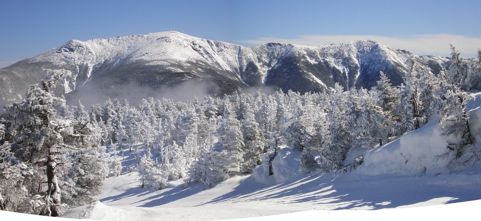
The scar on Whitewall Mountain is the visible leftover of those fires: the soil burned off the ledges and never came back. Everything else did. The spruce and birch you walk through are a century of regrowth, the beaver ponds are back, and the valley is a standard example of how a wrecked forest recovers when it is left alone. Henry's story matters to Lincoln too; the same railroad logic built the town the lodge sits in, and the Lincoln Woods Trail down the road runs on his other railbed. There is a state historical marker about Zealand and Henry on Route 302 near the road.
Seasons: when the walk is best
Late May into June has the biggest water in the falls and the fewest people, along with the first black flies. July and August are dependable and busy; go early to have the ponds to yourself. The last week of September through the second week of October is the show, with the birches gold along the railroad grade and the hut porch full at lunch. Winter, when the road is closed, is a long but lovely ski or snowshoe, and the hut is open on a self-service basis for anyone who wants a backcountry night without a tent.
Mud season, April into mid-May, is the one time to give it a rest. The bog bridges float, the road is gated, and the trail takes real damage from boots when it is soft. Spend that month on the lower walks in Franconia Notch instead and come back when the gate opens.
What to carry for a walk this easy
Treat it as a half-day hike, not a stroll, because the hut is nearly three miles from your car. Water for the walk in, a layer for the porch, which sits in a cool draft off the notch, rain gear, and something for the bugs from late May through July. If Zeacliff is in the plan, add a windproof layer and enough food for a longer day. Footwear can be trail runners in summer; the railroad grade is easy on the feet, and only the last pitch is rocky. From October on, microspikes ride in the pack for the bog bridges and the final climb.
Cell service is unreliable from the trailhead on. Download your map before you leave Lincoln, tell someone at the lodge or at home where you are going, and remember that the hut crew can radio for help in an emergency during the staffed season.
Who this hike is for
Anyone who wants a real White Mountains destination without a climb: a first hike of the trip, a recovery day after the Franconia Ridge, a rainy-forecast day when the ledges are out but the woods are fine. Couples who like a long, unhurried walk with lunch at the end. Skiers in winter. And anyone curious about the history of this forest, because no other easy trail shows you so what logging and fire did here and how the mountains recovered.
It is not for anyone hoping for a summit. Zeacliff is the consolation, and it is a good one, but people who want to stand on a 4,000-footer should look at our guides to Mount Hale, reached from the same road, or the Twins and Galehead beyond the hut.
Safety & conditions
- The bog bridges are the hazard on this trail, not the terrain. They are narrow, slick when wet, and they ice over invisibly from October into May. Cross one person at a time, and from mid-fall on carry microspikes for the bridges and the final rocky pitch to the hut.
- Wet granite beside the falls stays slick year round. Enjoy the slabs above the hut where they are dry and set back from the drops; do not scramble down the wet ledges beside the water for a photograph.
- Zeacliff is an exposed ledge on the Appalachian Trail at about 3,700 feet. Wind and cloud up there can be a different day from the ponds below. Check the Mount Washington Observatory's higher-summits forecast in the morning, carry a windproof layer, and turn around if visibility drops; the cliff is only worth it for the view.
- In winter the closed road adds about three miles each way and the day gets long fast. Start early, carry a headlamp, and remember the hut is self service with no crew radio in the off season; you are on your own for help until you reach the road.
- Cell service is unreliable from the trailhead on. Download a map before leaving Lincoln, leave your plan with someone, and carry the hikeSafe card or at least know that New Hampshire can bill for a rescue caused by negligence under RSA 206:26-bb.
- Moose use the beaver meadows along the first two miles. Give any moose a wide berth, especially a cow with a calf in early summer and bulls in the fall rut; they deserve more room than the black bears people tend to worry about.
- Black flies run from late May into July in this wet valley and are fierce at the ponds. A head net weighs nothing and turns a miserable June morning into a good one.
Where to stay for it
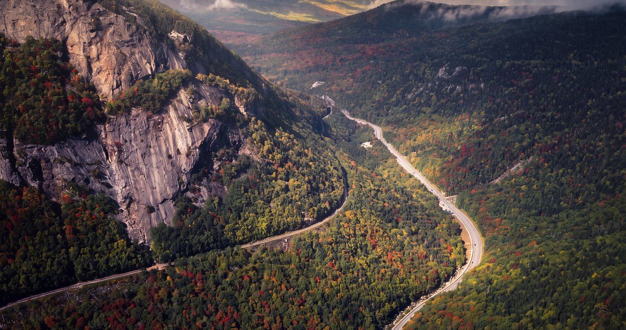
The drive from our door is one of the prettier ones in the region and it doubles as a scenic loop. From 191 Pollard Road take I-93 North up through the Franconia Notch Parkway, past Cannon and Echo Lake, to Exit 35, then US Route 3 north about ten miles to Twin Mountain. Turn right onto Route 302 east and watch for Zealand Road on the right after about 2.3 miles; the gravel road ends at the trailhead in 3.5 miles. Allow 40 min.
Because the walk is short, this pairs well with the rest of that side of the mountains. Leave the lodge after your morning coffee, walk to the hut for lunch, and come home by Route 302 through Crawford Notch and the Kancamagus, or stop at the Cog Railway base station in Bretton Woods on the way back. Guests who want a bigger day do Mount Hale from the same road in the morning and the hut walk in the afternoon.
In winter, when the road is gated and the approach becomes a ski, an early start from Lincoln matters more. Coffee is on at the lodge before first light and there is an all-day breakfast place in town on the way to the highway.
Useful links
- AMC Zealand Falls Hut: season dates, day-visitor hours, reservations
The current full-service and self-service dates and the reservation line (603-466-2727). - AMC White Mountains hiker shuttle map and schedule
Check whether Zealand is a stop this season and reserve a seat if you want a one-way traverse. - White Mountain National Forest: alerts, road status and passes
Zealand Road gate status in May and November, and the current recreation-pass prices. - Mount Washington Observatory higher-summits forecast
Read it before adding Zeacliff; the ledge sits high enough to catch the summit weather. - hikeSafe: the code and the card
The six-point hiker responsibility code and the $25 / $35 voluntary card. - Our Mount Hale guide, from the same road
The 4,000-footer that shares Zealand Road; the two combine into one full day.
Sources & official info: outdoors.org · fs.usda.gov · forestsociety.org · whitemountainhistory.org · hmdb.org · hikesafe.com
— Launchpoint Lodge, From the lodge