Beaver Brook Cascades is the most gorgeous waterfall within a 20 min drive of Lincoln, and it sits on one of the steepest, most demanding stretches of trail in the White Mountains. For roughly half a mile the Beaver Brook Trail climbs directly alongside a near-continuous chain of falls and slides, so close you feel the spray — and to do it, the path claws straight up a series of open granite slabs on wooden steps and iron rungs, with steep drop-offs into the ravine the whole way. The Dartmouth Outing Club, which maintains this section of the Appalachian Trail, posts a sign at the bottom asking hikers to take special care at the cascades to avoid tragic results. They mean it literally.
Here's the good news, and the whole reason this guide exists: you do not have to hike Mount Moosilauke to enjoy Beaver Brook Cascades. The falls are front-loaded — they start about a third of a mile from the trailhead and run for roughly half a mile of near-vertical climbing. You can turn this into a short, steep, deeply rewarding out-and-back, going up as far as your legs and the conditions allow, taking in cascade after cascade, and then coming back down — without ever committing to the 4,802-foot summit and the 7.6-mile round trip beyond it. The summit is a real objective for fit, experienced hikers; the cascades are a spectacle almost anyone reasonably fit can sample, on a good day, with the right footwear and the right judgment.
This guide walks you through the parking, the climb, and what to expect underfoot, along with the one skill that matters most here — knowing when to turn around. Read the safety section before you go. If it's raining, if the rock is wet, if it's icy, or if anyone in your group is uneasy on steep exposed ground, this is a day to admire the notch from the pull-off and drive to a friendlier waterfall instead.
The quick version
At a glance, Beaver Brook Cascades is a short-distance, high-intensity hike, and what makes it demanding is the terrain rather than the length. The first mile of the Beaver Brook Trail gains something on the order of 1,100 feet — a sustained grade around 34 percent with no switchbacks — climbing open, often-wet granite next to a waterfall. The route uses wooden step-blocks bolted to the rock and steel hand rungs to get you up slabs you otherwise couldn't. It is frequently called one of the steepest miles on the entire Appalachian Trail from Georgia to Maine, and that reputation is earned.
For the cascades themselves, plan on roughly 1.5 to 2.2 miles round trip depending on how far up you push before turning around, and give yourself far more time than the mileage suggests — this is a hands-on-rock, watch-every-step kind of climb, not a stroll you can knock out in half an hour. Most people who just want the falls spend one to two-plus hours on the round trip and come back with jelly legs.
The full Moosilauke summit via this trail is a serious 7.6-mile, ~3,150-foot day for experienced hikers only, and it exits the trees near the top into real alpine exposure. Nothing in this guide should be read as encouragement to attempt the summit on a whim. If the summit is your goal, treat it like the big mountain day it is: early start, weather check, real gear, and a willingness to turn back.
And the single most important sentence on this page: the correct move in wet, high-water, or icy conditions is to not climb the cascades at all. The same granite that makes this place beautiful becomes a serious hazard once it's slick.
Where it is and how to find the trailhead
Beaver Brook Cascades sits in Kinsman Notch, on the western end of NH Route 112, several miles west of North Woodstock. This is a common point of confusion: Route 112 is also the Kancamagus Highway, but the Kanc runs east from Lincoln toward Conway. You want the opposite direction — Route 112 west, up and over Kinsman Notch, past the Lost River Gorge & Boulder Caves attraction. Do not follow signs for the Kancamagus.
From the lodge, the simplest routing is I-93 to Exit 32, then Route 112 west through the middle of North Woodstock and up into the notch. The WMNF Beaver Brook Trailhead parking lot is on the right (the northwest side of the highway) at the height of land in Kinsman Notch, roughly six miles from the Route 3 junction in North Woodstock. The Beaver Pond is right there, and the trail leaves directly from the lot as part of the Appalachian Trail. Total drive is about 20 min.
The lot is small — think a couple dozen cars — and it is a shared, popular pull-off in a scenic notch, so it fills early on summer and foliage weekends and on any bluebird Saturday. If it's full, please don't improvise a spot on the highway shoulder; sightlines in the notch are poor for passing drivers. Come back at a better hour or go elsewhere. There is a vault toilet at the trailhead but no potable water, so fill your bottles before you leave the lodge.
One more orientation note: the trail crosses Beaver Brook a couple of times low down before it starts the serious climb. Those crossings are on rocks and can be tricky in high water — an early, fair preview of what the day holds. If you can't cross the brook comfortably and dry, that's information about the water level, and it's telling you something about the cascades above.

The numbers: cascades option vs. the full summit
It helps to think of this as two different hikes that share a bottom mile. The first is the cascades out-and-back: you climb the steep waterfall section, go as high as feels safe and rewarding, and come back down the way you came. The second is the full ascent of Mount Moosilauke, which uses the cascades as merely the opening act of a long, exposed mountain day.
The cascades version: the falls begin about 0.3 mile from the trailhead and run for roughly half a mile of climbing, so a satisfying out-and-back is on the order of 1.5 to 2.2 miles round trip with somewhere around 900 to 1,300 feet of gain, essentially all of it in that steep waterfall pitch. There is no single 'end' to the cascades — they taper — so you choose your turnaround. Many hikers go until the grade eases near the top of the falls and call it there.
The Beaver Brook Shelter, a lean-to maintained by the Dartmouth Outing Club, sits about 1.5 miles in, near the top of the steep section, with views out toward the Franconia and Kinsman ridges. Reaching the shelter makes a natural, harder turnaround for stronger hikers — getting there means the full steep climb, and every step up is one you'll retrace on the way down.
The full summit: Mount Moosilauke tops out at 4,802 feet, one of New Hampshire's 4,000-footers, and the Beaver Brook Trail reaches it in about 3.8 miles one way — roughly 7.6 miles round trip with about 3,150 feet of elevation gain. Above the shelter the grade mellows through spruce forest, then the last stretch breaks above treeline onto an open, weather-exposed summit. That is a full, committing day and a different risk profile entirely from the cascades sampler.
What you see: the cascades themselves
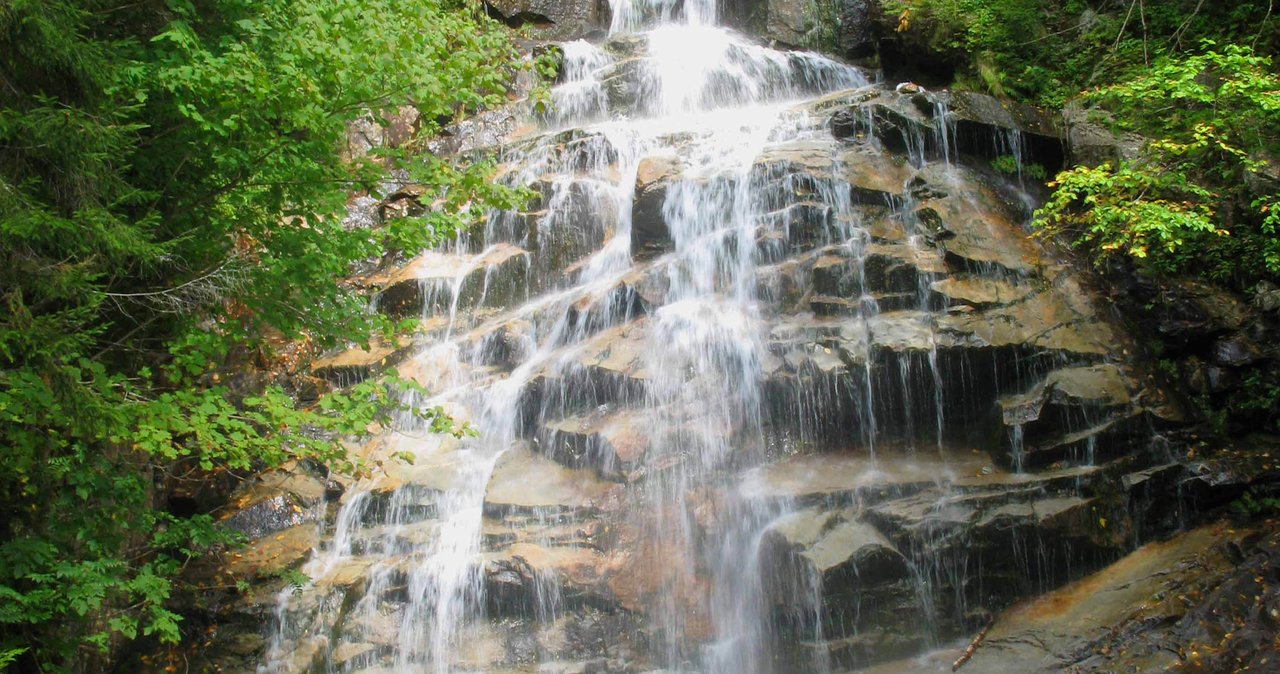
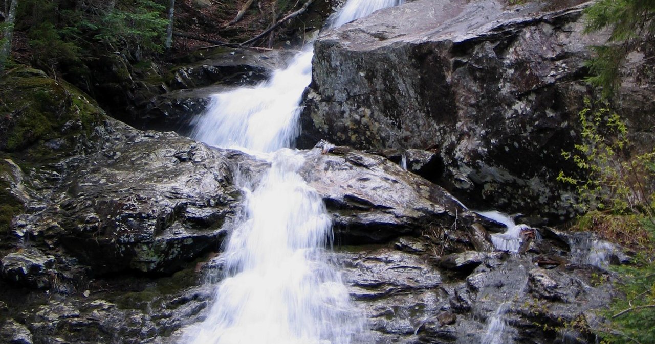
Beaver Brook doesn't give you one tall postcard waterfall; it gives you a staircase of moving water that seems to go on and on. As the trail turns steeply uphill, the brook is right there beside you the whole way — sliding down open granite ramps, spilling over ledges, pooling and dropping again through a mossy, hemlock-shaded ravine. You are not looking at the falls from a distant platform. You are climbing next to them, often within arm's reach, which is exactly what makes the place magical and exactly what makes it hazardous.
Because the water and the trail share the same slabs, the show is continuous rather than a single named drop. On a strong-flow day in late spring or after rain, the sound is loud and the spray drifts across the rock. In high summer the flow eases, the ledges dry out, and the climbing gets safer even as the falls get gentler. On this hike, the most dramatic water tends to arrive exactly when the rock is at its slickest.
The framing you want, especially if you're bringing a camera, is from the little natural landings between pitches — spots where the trail levels for a stride or two and you can plant your feet, turn around, and look up or down the cascade. Do your looking from those stances, not mid-slab. The instinct to stop and stare while standing on a wet ramp is precisely how people slip here.
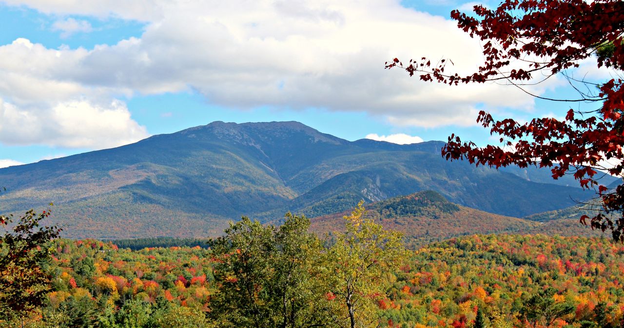
Fall color adds another layer in late September and early October, when the hardwoods lower in the notch turn and the water threads down through them. It's stunning. It's also cold, and the leaves that make it beautiful also hide wet rock and make the footing worse — one more reason to slow down.
The steepness: wooden steps, iron rungs, and open slab
This is the feature that defines Beaver Brook and the reason it deserves a heavier safety treatment than almost any waterfall near Lincoln. To get hikers up the steepest ledges, trail crews have bolted wooden step-blocks and steel rebar hand rungs directly into the granite. In places you are effectively climbing a rough rock staircase with handholds, with the brook to one side and a drop to the other. It is engineered, it is maintained, and it is still exposed.
The grade through the first mile hovers around 34 percent with no switchbacks — the trail simply goes straight up. That means your calves and lungs get worked hard on the way up, and your knees, quads, and nerves get worked hard on the way down. For many hikers the descent is the harder, scarier half, because you're facing downhill on the same slick slabs, often tired, sometimes with the light going.
The rungs and steps are aids, not guarantees. They can be wet, they can be cold enough to numb your hands, and they demand that you use them — three points of contact, deliberate movement, no rushing, no crowding the person ahead of you. If you're carrying trekking poles, this is the section to stow them and free your hands for the rock; poles are a liability when you need to grab a rung.
There is a real drop off the trail into the ravine here — descriptions of the terrain reference something like a three-story fall just off the path into Beaver Brook. That drop is why the Dartmouth Outing Club's sign at the bottom asks for special care at the cascades. Treat every exposed slab as if a slip means a serious fall, because it can.
The Beaver Brook Shelter and the temptation to keep going
About 1.5 miles in, near where the cascades finally relent, a short side path leads to the Beaver Brook Shelter, a three-sided Dartmouth Outing Club lean-to with an open outlook toward the Franconia and Kinsman ranges. It's a logical rest stop, a fine turnaround for strong hikers who've climbed the whole steep section, and a nice payoff of a view without committing to the summit.
But the shelter is also where the day quietly tries to talk you into more. Above it the trail eases dramatically, and it's easy to think 'that wasn't so bad, let's just tag the summit.' Remember two things. First, everything above the shelter still adds up to a long day and, near the top, real alpine exposure where weather can turn cold, wet, and windy fast — very different from the sheltered ravine you climbed. Second, and more important, whatever you climb past the shelter you must descend back down those same wet cascade slabs at the end of the day, when you're tired.
The shelter is intended for Appalachian Trail through-hikers and backcountry overnights, not as a casual destination to occupy — pack out everything, give overnighters their space, and don't count on it as your shelter-from-a-storm plan. If weather is moving in, the answer is to be heading down, not up.
If you do continue to the summit, do it as a planned mountain hike, not an impulse: early start, checked forecast, layers, headlamp, food, water, and a hard personal turnaround time. The summit of a 4,802-foot peak is not a place to improvise.
When to go: seasons and water levels
The sweet spot for the cascades-as-a-hike is roughly late June through early October, when the ledges have dried out from spring melt and before ice returns. In that window, on a dry-rock day, a fit hiker can climb the falls with good footwear and good sense and have an incredible time.
Spring — roughly April into May — is when the falls are at their most thunderous, fed by snowmelt. It is also when the trail asks the most of you: the slabs run with water, lingering ice and 'monorail' snow hide in the shade, and the brook crossings down low can be pushy and cold. The prettiest water and the worst footing arrive together. Admire spring flow from low on the trail or from the notch, and save the climb for drier conditions.
Summer brings the safest rock and the busiest lot. Go early, both to get a parking spot and to be off the exposed slabs before afternoon thunderstorms — a common White Mountains pattern — can slick everything and add lightning risk to open ground higher up.
Fall is glorious and cold. Foliage peaks in this area around the second week of October, give or take, and the low-angle light through the ravine is beautiful. But shorter days mean less margin, wet leaves make the rock worse, and early-season ice can appear on shaded slabs before you'd expect it. Start early, carry a headlamp regardless, and be realistic about the first frost.
Any time of year, the rule that overrides the calendar is rain. During and for a day or two after heavy rain, the cascades run high and the rock stays wet and treacherous. High water is a turn-around condition, not a photo opportunity.
The turnaround decision is the whole skill
More than fitness, more than gear, the thing that keeps people safe on Beaver Brook is the willingness to turn around. This trail does not owe you the cascades, and it certainly doesn't owe you the summit. The mountain will be here next visit. You reading this and deciding, calmly, that today's conditions aren't right is not failure — it is exactly the judgment that separates hikers who have long careers in these mountains from the ones who make the news.
Set your turnaround triggers before you start, when your ego is quiet: wet or greasy rock, water running across the slabs, ice anywhere, a member of your group who's shaky on the rungs, a forecast turning, or simply the clock hitting a time that won't leave you daylight for a slow descent. If any trigger trips, you turn — no negotiation, no 'just a little higher.'
Descending is the crux. Plenty of people scramble up adrenaline-fueled and then realize, at the top of the cascades, that going back down the same wet slabs is far more frightening than going up. Factor the descent into every decision to climb higher. A good rule: don't climb up anything on these slabs that you're not confident you can climb back down under control.
Finally, keep your group together and keep it small enough to move deliberately. Crowding, rushing, and trying to keep up with a faster friend are how slips happen on the rungs. There's no prize for speed here — the reward is the water, and the water isn't going anywhere.
Cold water, wet rock, and the hazards that matter
The core hazard at Beaver Brook is simple and unforgiving: steep, exposed granite that is slick when wet, situated right beside fast-moving water with real drop-offs. A slip on a slab isn't a scraped knee here; it can be a fall into or down the ravine. That is the reason for the trail club's sign, and the reason this waterfall deserves more planning than the gentle walk-up falls elsewhere near Lincoln.
Wet rock is the number-one killer condition, and 'wet' includes morning dew, spray from high flow, damp shade that never dries, and the film left behind after overnight rain. Wet leaves in fall and any hint of ice in the shoulder seasons make it worse. If you're unsure whether the rock is dry enough, it isn't — treat doubt as a no.
The water itself is cold, fast, and shallow over rock — this is not a place to enter the brook. Mountain streams like this one stay cold even in summer, cold enough to sap strength and coordination quickly, and moving water over slick rock can sweep a person off their feet. Stay out of the cascades entirely and keep well back from the lip of any drop for photos.
Higher up, if you continue toward the summit, add exposure and weather to the list. Above the trees the wind rises, temperatures drop, and conditions can change quickly, so pack warm layers and a headlamp and keep an eye on the clock. And phone signal in the notch and on the climb is unreliable — do not count on being able to call for help. Tell someone at the lodge your plan and expected return time before you go.
Winter and shoulder-season ice: why you probably shouldn't
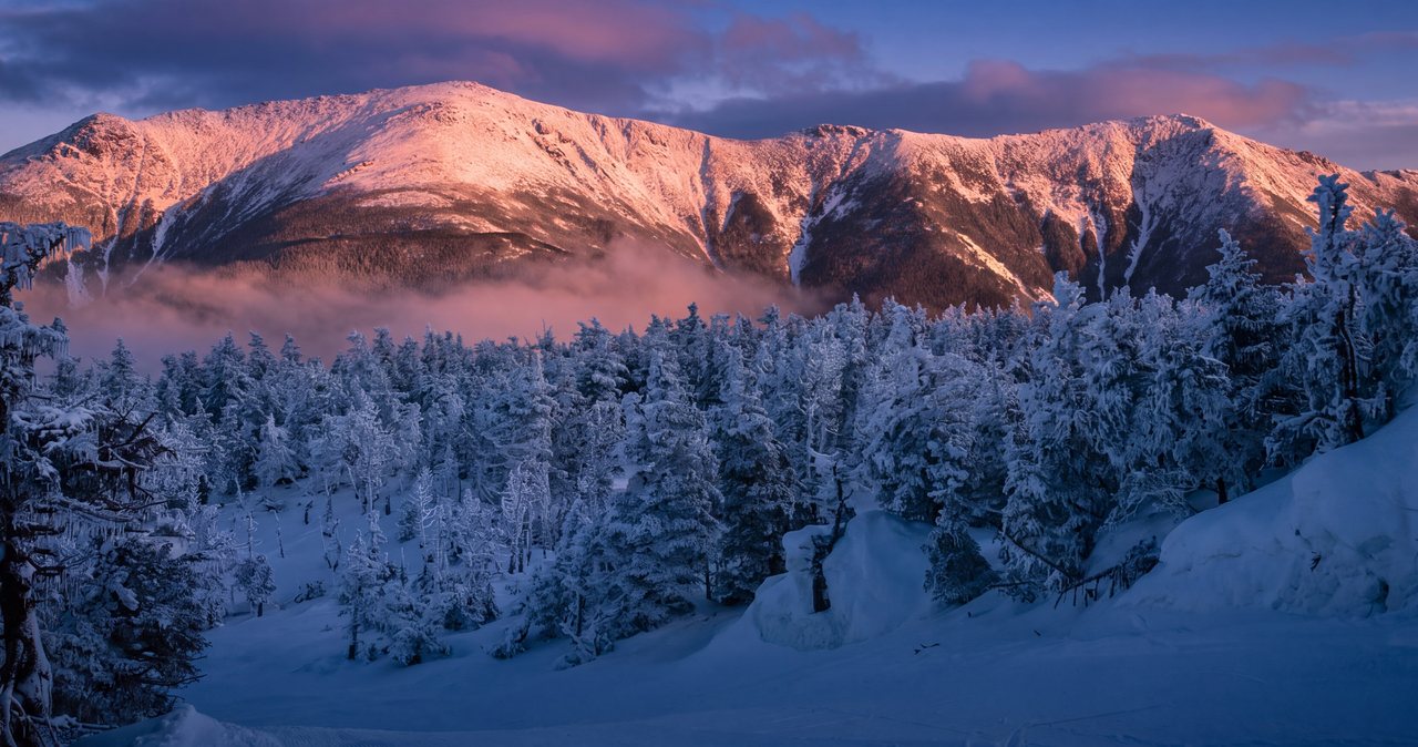
In winter and the icy edges of the shoulder seasons, the cascade slabs glaze over and the wooden steps and rungs disappear under ice and snow. What is a hands-on scramble in summer becomes genuine technical winter mountaineering terrain — the domain of hikers carrying and skilled with crampons, an ice axe, and often more. This is not a place to try microspikes-and-hope. For the vast majority of our guests, the plain answer in winter is: don't.
Timing is the key here. Ice arrives on these shaded slabs earlier in fall and lingers later in spring than the calendar or the parking-lot temperature suggests. A 45-degree morning in the lot can mean black ice on north-facing rock a few hundred feet up. If you see any ice on the slabs low down, take it as a preview and turn around.
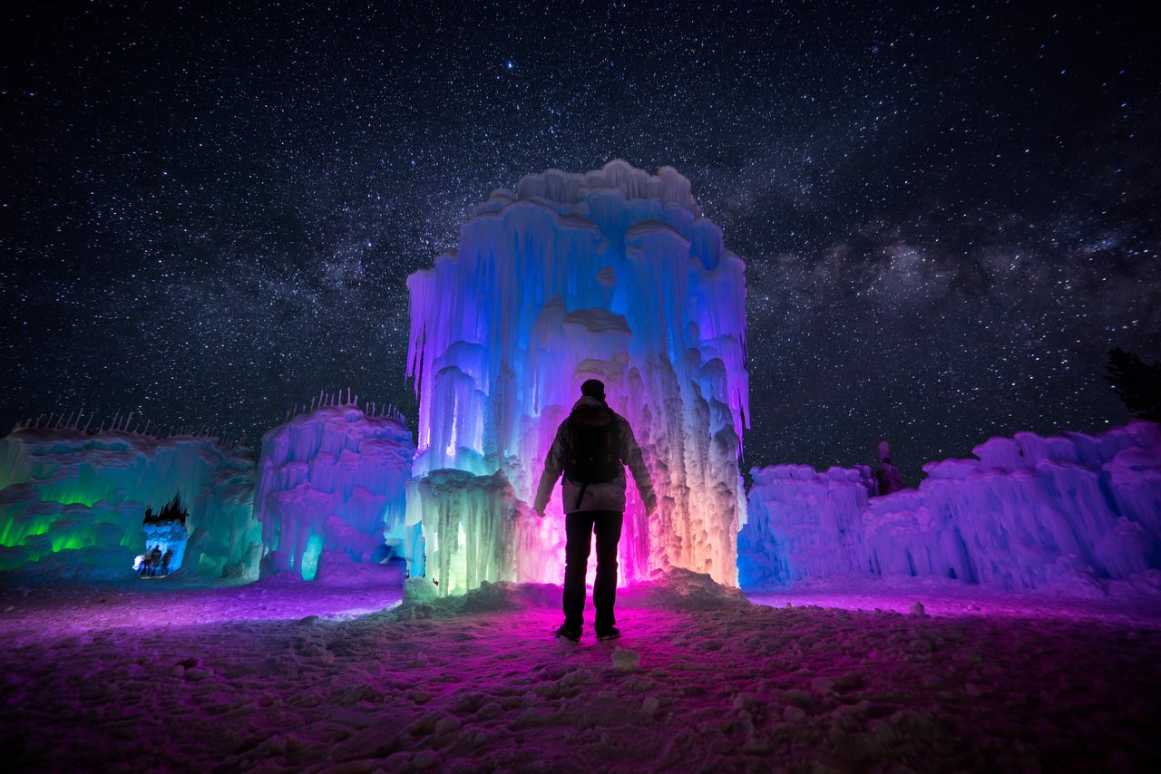
If you're set on a winter waterfall experience near Lincoln, there are far safer ways to get it — the flat, gated boardwalk at Sabbaday Falls (when open) or, in a cold enough winter, the built Ice Castles attraction over in North Woodstock when it's running. Save Beaver Brook for a dry summer day and you'll enjoy it far more, and far more safely.
Whatever the season, if you arrive and the conditions don't match what you planned for, give yourself full permission to bail. The drive back down Route 112 with the heat on and a plan to try again is a good day, not a wasted one.
Dogs, kids, and who this hike is really for
Let's be straight about suitability, because the mileage lies. This is a short hike by distance and a hard, exposed one by nature. It's rewarding for reasonably fit adults who are comfortable using their hands on rock and steady on steep, uneven ground. It is a poor choice for anyone nervous about heights or exposure, anyone unsure on wet surfaces, or anyone who can't reliably control a steep descent.
Dogs: the trail is open to leashed dogs, but the rebar rungs and near-vertical step-slabs are impassable for most of them, and helping a frightened or stuck dog on wet ledges is risky for you both. Experienced hikers with a fit, capable trail dog occasionally do it in dry conditions, but for the great majority the right call is to leave the dog behind for this particular hike. (Launchpoint Lodge is a pet-free, adults-only lodge, so this is one to plan around regardless.)
Families: many waterfalls near Lincoln are wonderful for kids, and we say so — Sabbaday Falls, the Basin, and the Flume are gentle, gorgeous, and largely railed or boardwalked. Beaver Brook is not in that category. The exposed slabs and drop-offs make it a poor fit for young children and anyone who can't self-arrest a slip; if you're hiking with kids, this is one to admire from below or swap for a friendlier falls.
The right hiker for the cascades-only version is someone who wants a big, dramatic payoff for a short, steep effort, who owns proper hiking footwear, who checks the weather, and who has already decided they'll turn around the moment the rock or the sky says so.
What to bring and how to hike it well
Footwear first: real hiking boots or trail shoes with aggressive, grippy lugs, not sneakers and definitely not sandals. On the slabs, traction is everything, and worn-smooth soles are a liability. If there's any chance of ice, you need traction devices and the knowledge to use them — or you need to not be here.
Hands free for the rungs: carry trekking poles if you like for the approach and descent, but plan to stow them collapsed on your pack for the steep rung-and-slab sections so you can grab the steel and the rock. Fumbling with poles on an exposed ledge is exactly the wrong problem to have.
Water, layers, light: bring more water than a short hike suggests — the climb is hot work — plus a warm layer and a rain shell, because the notch and anything higher can be cold and wet even when Lincoln is pleasant. Carry a headlamp every time, no matter how early you start; the descent is slow, and running out of daylight on these slabs is a genuine emergency.
Timing and mindset: start early for parking and to beat afternoon storms, move deliberately, keep three points of contact on the steep bits, and don't crowd. Take your photos from stable stances. Eat and drink before you're empty. And rehearse the one decision that matters — the turnaround — so that when the moment comes, you make it without arguing with yourself.
Leave no trace: pack out everything, stay on the trail rather than braiding new paths around wet spots (which damages the fragile ravine and often puts you on worse footing anyway), and give the brook and its banks a wide berth. This is a heavily loved, hard-worked trail; treat it gently.
Fees, passes, restrooms, and logistics
The Beaver Brook Trailhead is a White Mountain National Forest fee site. A WMNF recreation pass runs $5 for a day (usually via a self-serve envelope at the lot — bring small bills), or $30 for a WMNF annual pass and $40 for a household annual. If you already hold the roughly $80 America the Beautiful interagency pass, it covers WMNF fee sites too, so display it and you're set. These are public land fees and entirely normal to pay; they fund the trail work that keeps those rungs and steps in place.
Facilities are minimal: a vault toilet at the trailhead, no potable water, no trash service (pack it out), and no reliable cell signal in the notch or on the climb. Fill your water bottles and use the restroom before you leave the lodge, and download your map in advance rather than counting on a phone signal.
Parking is the practical bottleneck. The lot is modest and popular; on summer and foliage weekends it can be full by mid-morning. Arrive early, and if it's full, don't improvise a shoulder spot in the notch — go on to Lost River, Georgiana Falls, or a Kancamagus falls and come back at a quieter time. Message us and we'll gladly suggest a Plan B.
Give yourself a clear time budget. Even the cascades-only version deserves a couple of unhurried hours with the descent; the full summit is most of a day. Leave your plan and rough return time with someone at home before you head out — with no cell service up there, someone knowing where you are is a simple, real safety measure.
Safety & conditions
- Wet rock is the killer here. The cascade slabs are slick when wet from rain, spray, dew, or shade, and a slip can mean a fall into or down the ravine — descriptions of the terrain reference a multi-story drop just off the trail. If the rock is wet or greasy, do not climb it; treat any doubt as a no.
- High water and heavy rain are turn-around conditions, not photo ops. During and for a day or two after heavy rain, and during spring snowmelt, the falls run hard and the rock stays treacherous. On those days, enjoy the big flow from low on the trail or from the notch.
- Use the rungs and steps deliberately — three points of contact, hands free (stow trekking poles), no rushing, no crowding the person ahead. Never climb up anything on these slabs that you're not confident you can climb back down; the descent is the crux and injures more people than the ascent.
- Stay out of the water and back from the edges. The brook is cold, fast, and shallow over rock — cold-water shock and swiftwater over slick stone are real risks, and the lip of a drop is no place to pose for a photo.
- Ice makes this technical mountaineering terrain. In winter and the shoulder seasons the slabs glaze and the steps and rungs disappear under ice, requiring crampons, an axe, and the skill to use them. Ice appears on shaded rock earlier in fall and lingers later in spring than the parking-lot temperature suggests — if you see any ice low down, turn back.
- Have a hard turnaround plan and honor it. Set your triggers before you start (wet rock, ice, weather turning, a nervous group member, fading daylight) and turn around the moment one trips. The mountain will be here next visit.
- Higher up means more exposure. If you continue toward the 4,802-foot summit, the last stretch breaks above treeline into cold, wind, and fast-changing weather — carry layers, food, water, and a headlamp, and be ready to bail.
- Cell signal is unreliable in the notch and on the climb, so you cannot count on calling for help. Tell someone at the lodge your route and expected return time before you go, and don't hike this alone if you can avoid it.
- Start early and don't count on parking. The small WMNF lot fills on summer and foliage weekends; an early start also gets you off the exposed slabs before afternoon thunderstorms. If the lot's full, choose a safer waterfall rather than parking dangerously on the highway shoulder.
Where to stay for it
Beaver Brook Cascades is one of the closest big-water waterfalls to Launchpoint Lodge and one of the most spectacular — but it is not the casual boardwalk stroll that Sabbaday Falls or the Basin are. From our door at 191 Pollard Road it's about a 20 min drive: back to I-93 Exit 32, then Route 112 (the western end, toward Lost River, not the Kancamagus) heading west through North Woodstock and up into Kinsman Notch. The Beaver Brook Trailhead lot sits on the right at the height of land, sharing the notch with the Beaver Pond and the Lost River gorge. Leave early — the small lot fills on summer and foliage weekends, and you do not want to be finishing this steep, wet descent in fading light.
We'll happily send you the WMNF parking situation, plain turn-around advice, and a read on recent rain before you go — just message us. If the forecast is wet, or if it's shoulder season and ice is in the picture, we'll steer you to Georgiana Falls or the flat, gentle Sabbaday Falls walk instead, and save Beaver Brook for a dry-rock day. This is a trail that rewards good judgment and punishes bravado; part of a good virtual innkeeper's job is telling you when today isn't the day.
Sources & official info: fs.usda.gov · fs.usda.gov · northeasthikes.com · alltrails.com
— Launchpoint Lodge, From the lodge