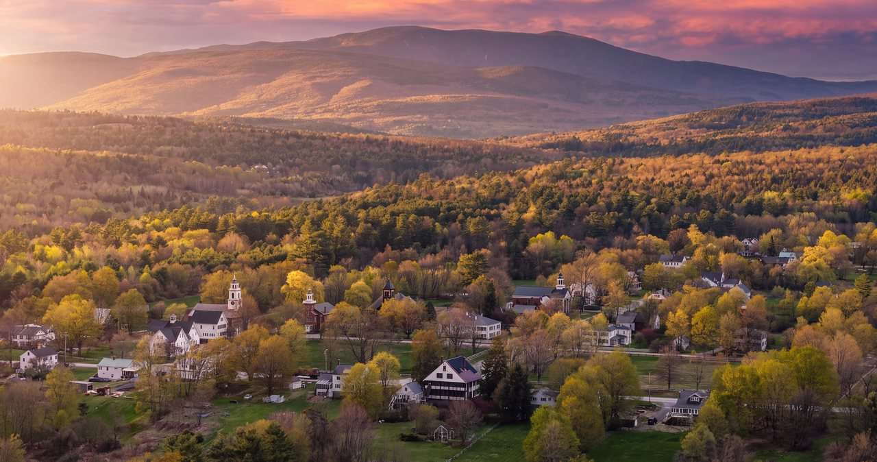
From Springfield and the Pioneer Valley, the White Mountains sit due north up the river you already live on. Interstate 91 traces the Connecticut past Northampton and Greenfield, crosses into Vermont above the state line, and runs up the valley through Brattleboro to White River Junction. From there you cross into New Hampshire for the last climb toward the notch. Figure about 178 miles and three and a half to four hours, and the final hour is the part you came for.
This drive has a fork built into it at White River Junction. You can finish on the interstates, dropping down to Concord on I-89 and climbing back up I-93 into the mountains, which is more miles but all divided highway. Or you can take the shorter back road over Kinsman Notch on Route 112, which trades some of that highway for a real mountain pass. Both land you at the same door in the middle of Lincoln. Which one you want comes down to the weather and how much daylight you have left.
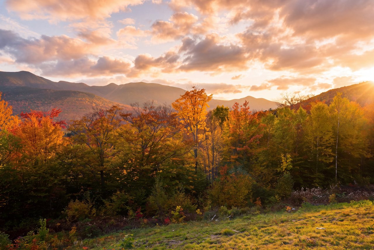
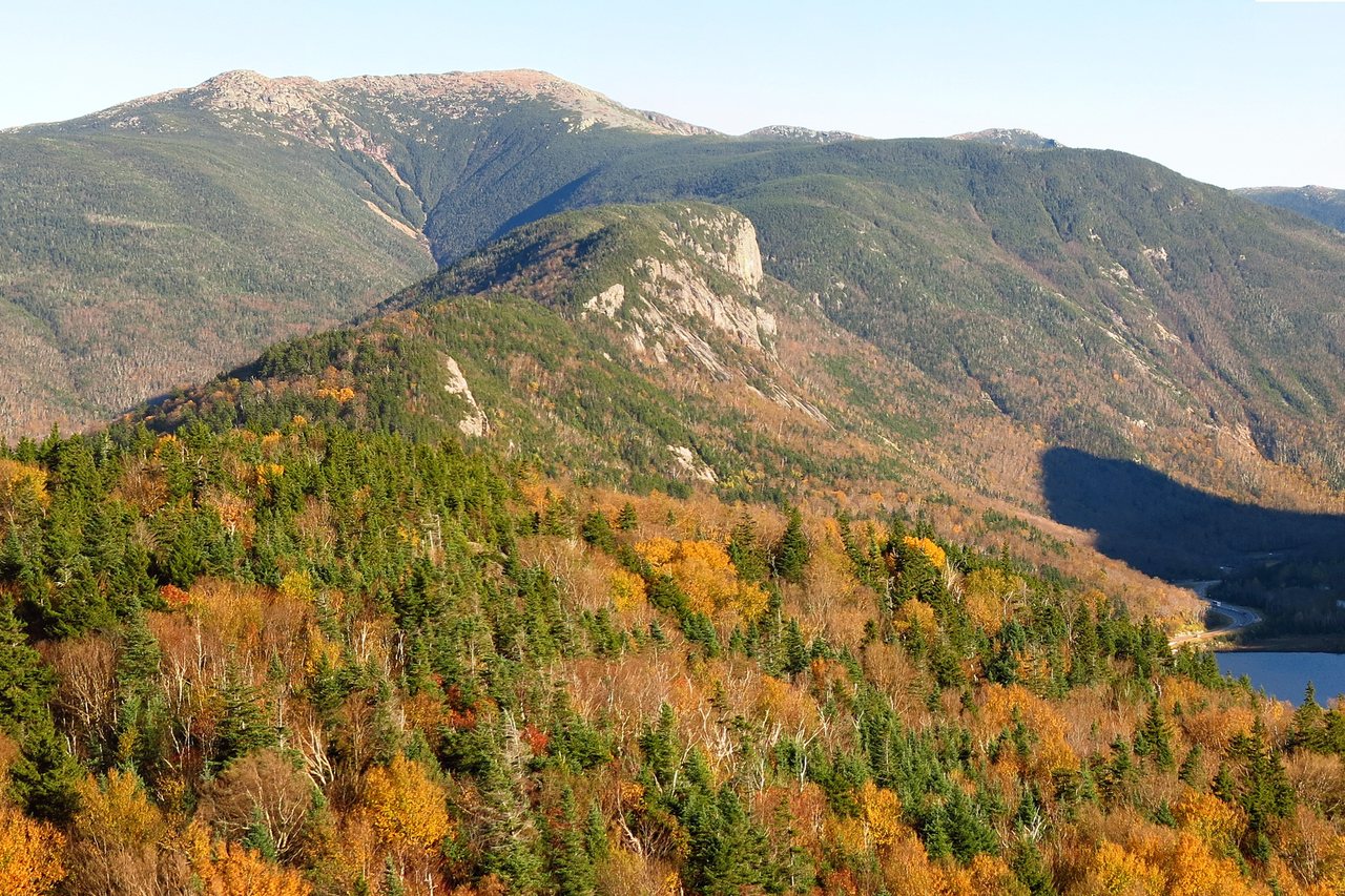
It is a longer haul than a Berkshires weekend, and the mountains at the end are the reason. The ridges above Lincoln stand a full class bigger than anything in the Pioneer Valley, and you can watch the change happen through the windshield over the last stretch as the hills grow into real peaks. Here is how to make the drive, where to stop, and what is waiting when you get here.
Up the Connecticut River valley on I-91
Head north out of Springfield on Interstate 91 and you are on the easy part for a good while. This is one of the calmer interstates in New England, following the Connecticut River the whole way. You pass Northampton and Greenfield, cross the Vermont line above the Massachusetts border, and continue through Brattleboro and up the valley toward White River Junction. It is roughly two hours of steady, uneventful highway to that point, with real towns and rest areas spaced along the way if you need them.
White River Junction is where you make your call. It sits at the meeting of I-91 and I-89, right on the New Hampshire line, and it is the natural place to stop, stretch, top off the tank, and decide how you want to finish. Everything up to here is the same no matter which way you go. Everything after depends on the choice you make at that interchange, and both options are below.
The interstate finish through Concord
The all-highway finish leaves I-91 at White River Junction for I-89 South, which runs down through New Hampshire to meet I-93 just below Concord. There you turn north on I-93 and climb back up through Plymouth and into the mountains, coming off the highway at Exit 32 for Lincoln and the Kancamagus. It is more miles than the back road over the notch, because you drop south to Concord before heading north again, but it is divided highway the entire way, so the time comes out close to the shorter route.
This is the version to drive in bad weather, after dark, or any time in winter. There is no mountain pass on it, the plowing is constant, and there is a gas station or a rest area whenever you want one. The one place it can slow down is I-93 between Concord and Plymouth late on a Friday in summer or foliage season, when everyone from the south is heading up for the weekend at the same time. Leave earlier in the day and that stretch stays quick. Off the highway at Exit 32, the lodge is about 5 min on.
The back road over Kinsman Notch
The shorter finish stays on I-91 north past White River Junction to the Wells River exit, crosses the Connecticut into Woodsville, New Hampshire, and picks up Route 112 heading east. From there it is a mountain road: two lanes climbing over Kinsman Notch, past the Lost River gorge near the height of the notch, then dropping into North Woodstock with Lincoln the next town over. In daylight and dry weather it is one of the prettiest ways into the Whites, and it shaves miles off the interstate loop.
It asks more of the driver, though, and that is worth knowing before you commit to it. Route 112 is plowed and open year-round, but it is a real pass. There are no services in the notch, the road is narrow and winding, and the top can be icy or snow-covered while the valleys below are only wet. In good conditions with time to spare, take it. On a winter night, or in rain or fog, come in from the south on the interstates instead. The mountains will look the same in the morning either way.
When to leave for the weekend
At three and a half to four hours, this is a two-night trip at a minimum and a three-night trip if you can manage it. The usual rhythm is a Friday drive up, two full days in the mountains, and a Monday-morning run home against almost no traffic at all. Sunday evening back to Springfield works too, but Monday is the quietest road you will ever see out of here.
For a Friday getaway, the interstates north of Springfield rarely give you trouble. The only real pinch is that Concord-to-Plymouth stretch of I-93 if you are taking the interstate finish and rolling through in the late afternoon; getting on the road before early afternoon keeps you ahead of it. In foliage season, the first couple of weeks of October up here, add real time for the notch route and for every overlook lot beyond Lincoln, which fill fast. Start early or arrive after the day-trippers have drained out in the evening. Whatever time you land, our keyless check-in means a late arrival is no problem, so there is no reason to rush the last hour of a mountain drive to beat a front desk.
Stops along the way
The valley is the stop-rich half of this drive, and it is the same for both finishes since you share I-91 up to White River Junction. Northampton is the easy lunch stop, a walkable college town a few minutes off the highway with plenty of places to eat. Brattleboro, just over the Vermont line, has a compact downtown on the river worth a stretch of the legs. And the Vermont welcome center just north of the state line is a clean, staffed place to stop early in the drive.
Past White River Junction, the good stops depend on your road. If you take the interstate finish, the Tanger outlet center at Tilton sits right off I-93 at Exit 20, a straightforward leg-stretch with food and restrooms. If you take Route 112 over the notch, the standout is Lost River Gorge and Boulder Caves, a self-guided boardwalk with a string of glacial boulder caves you can scramble through, on Route 112 a few miles west of North Woodstock. It opens for the season in spring and closes in late October, so check that it is running for your dates and that you have daylight for it. Kinsman Notch itself, the pass the road climbs over, is worth slowing for where it tops out. Whichever way you come, dinner in Lincoln is a short walk from the lodge, so it is worth saving your appetite rather than eating big on the road.
The mountains at the end of the drive
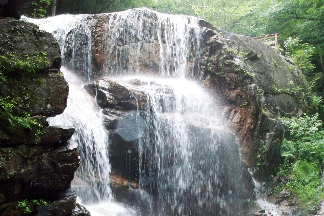
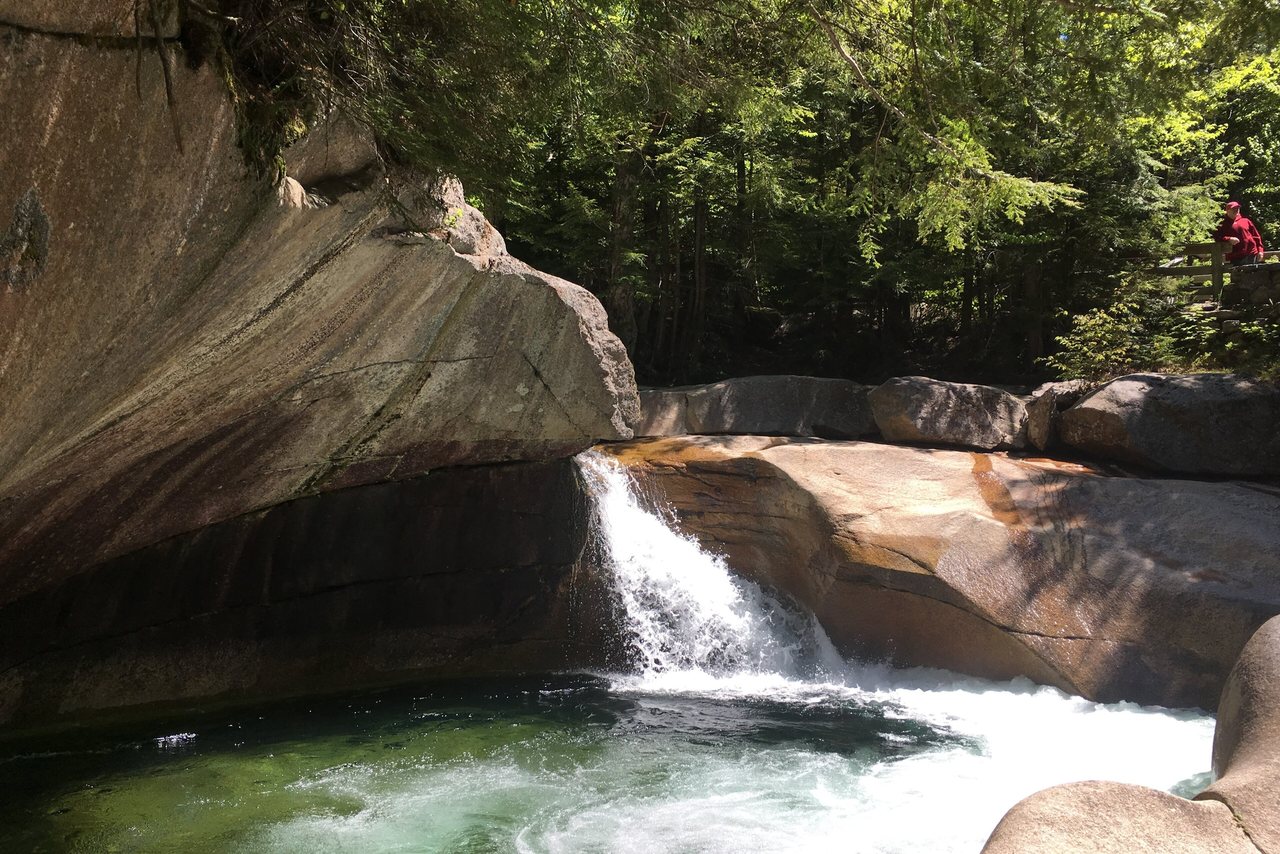
The payoff for the miles is a range a full class bigger than the Berkshires and the ridges around the Pioneer Valley. From our front door, Loon Mountain is about 6 min east, the Flume Gorge is about 12 min, and the heart of Franconia Notch State Park is about 10 min north, with the deep-notch overlooks another few minutes past that. The Basin, a glacial pothole worn smooth in the river, is a 5 min walk from its parking lot with no ticket needed. And the Kancamagus Highway starts right at the end of the street and runs thirty-four miles east to Conway with no gas, no food, no services, and essentially no cell signal along its length, so fill your tank in Lincoln before you drive it.
If this is your first visit, we would point you at the notch classics and one hike matched to your legs, and leave it at that. On a repeat trip, the summits are the draw. The marquee walk is the Franconia Ridge Loop, about 8.9 miles with some 3,900 feet of climbing and long stretches above treeline, fully exposed to the weather; it is a serious, all-day effort for a good-forecast day, not a casual afternoon. There is plenty here for a couple of days without ever taking on something that big, and our trail and notch guides sort out which climbs earn the drive.
Closures to check before you come
A few things are worth knowing before you build a plan, because an old guidebook will steer you wrong on them. The Cannon Mountain aerial tramway is closed. It was retired after its last day, October 26, 2025, and no reopening date has been announced, so you cannot ride the tram right now, though the Cannon ski area still runs its lifts in winter. The Lincoln Woods Trail, one of the popular flat walks along the Pemigewasset, is closed from June 15 into November 2026 for work by the Forest Service and the AMC, so plan another trailhead this year. And the Old Man of the Mountain, the rock profile that gave the state its symbol, fell from the cliff in May 2003; what stands now is the profiler plaza at Profile Lake, where steel viewfinders line the old profile back up against the mountain from where you stand.
One practical note for the trailheads: most of the Forest Service parking lots need a White Mountain National Forest pass, which runs five dollars a day or thirty dollars for the year. The roadside stops in the notch and the short walk down to the Basin do not need one.
Where to stay when you arrive
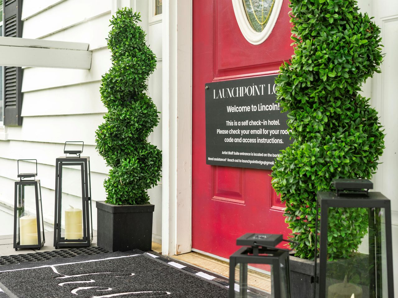
Launchpoint Lodge is a six-suite, adults-only inn in a restored 1902 colonial, about 5 min past Exit 32 and right in the middle of Lincoln. Our check-in is keyless and self-serve, which is the detail that matters most after a three-and-a-half-hour drive: your door code lands on your phone before you leave home, and the house lets you in the same way whether you pull in at three in the afternoon or eleven at night. There is no arrival window to beat and your virtual innkeeper is a message away, so the drive can end whenever it ends.
That takes the pressure off the last hour, which is the point. Five of the six suites are TV-free by design, there is coffee in the lounge for the morning, and dinner in town is a short walk away. Book direct for the best rate, pick the finish that fits your weather and your daylight, and let the valley be quiet around you when you arrive.
Sources & official info: dot.nh.gov · fs.usda.gov
— Launchpoint Lodge, From the lodge