Near the eastern end of the Kancamagus, where the highway has come down off the pass and is running beside the Swift River toward Conway, a side road crosses the river on the Albany Covered Bridge, built in 1858. Just past the bridge is the trailhead for the Boulder Loop, a roughly three-mile loop that climbs about a thousand feet through a jumble of glacial boulders the size of cabins to a set of open ledges with a wide view over the Passaconaway Valley, the Swift River and the ridges to the south. Then it drops back through pine and hemlock to the road.
The Forest Service built it as an interpretive trail, and the numbered posts along the way match a brochure that explains the boulders, the different forests you pass through, and how the valley was logged and recovered. Read it or ignore it; the ledges are the point. For a short hike on a Kancamagus day, especially one that ends with lunch in Conway, this is the one we recommend on the far end of the road.
This guide gives you the loop in the right direction, what the ledge spur is like, the $5 fee, the parking beside the covered bridge, the campgrounds next door, seasons, and the reasons the ledges deserve respect. The trailhead is about 40 min from the lodge, at the far end of the highway from us, which is exactly why it pairs so well with the rest of the Kanc.
The numbers
The loop itself is listed between 2.7 and 3.1 miles depending on the source and whether the ledge spur is counted; with the spur, call it three miles. Elevation gain is about 1,000 feet, nearly all of it in the first 1.2 miles if you walk the loop clockwise. The high point is on the ledges at roughly 1,900 feet, about a thousand feet above the Swift River at the bridge. Allow two to two and a half hours with time on the rocks.
It is rated moderate, and the rating is fair: the climb is real for a short hike, the footing is roots and rock, and the ledges are open and unfenced. It is not a stroll, but it is well within reach of anyone who walks regularly, and the reward for the effort is far out of proportion to the distance.
Getting there: the Albany Covered Bridge and Passaconaway Road
From Lincoln, drive the full length of the Kancamagus east over the pass and down along the Swift River, about 28 miles, and watch for the sign for the Albany Covered Bridge and Passaconaway Road on the left, roughly six and a half to seven miles west of Conway village. Turn left, cross the Swift River through the covered bridge, and the Boulder Loop trailhead parking is on the right about a tenth of a mile past the bridge. The Covered Bridge and Blackberry Crossing campgrounds are right there too, which is why the lot is busy on summer weekends.
The bridge is worth a stop of its own. It was built in 1858 with a Paddleford truss, the design used on most of the White Mountains' surviving covered bridges, and it still carries cars one lane at a time. The river below it is a swimming spot on hot days and a photograph on every foliage weekend; park in the lot and walk back to the bridge rather than stopping on the road.
Parking and the fee
The Boulder Loop trailhead is a White Mountain National Forest fee site. Pay the five-dollar day-use fee at the kiosk with cash, which has no change, or display a recreation pass: thirty dollars for an annual pass or the America the Beautiful interagency pass. The lot is a decent size but fills on foliage weekends by mid-morning because it serves the campgrounds and the river too. Do not park on Passaconaway Road or block the bridge approaches.
The loop, clockwise
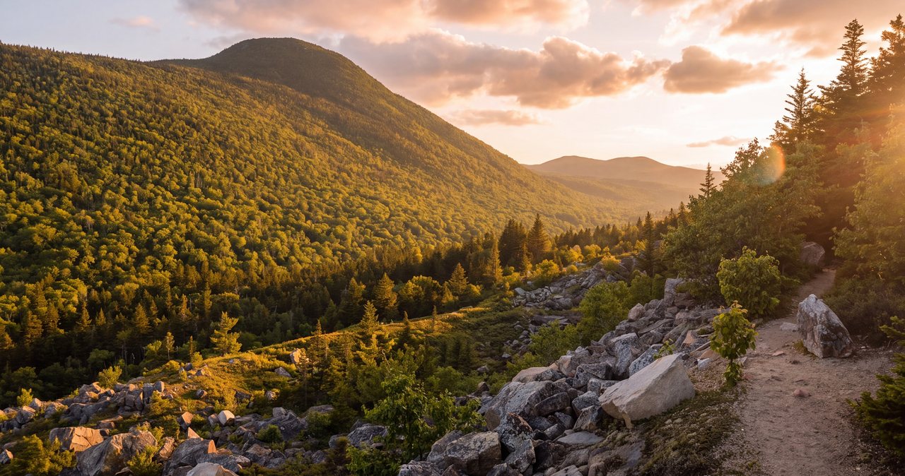
The trail starts along the Swift River and splits almost at once; most people go left, or clockwise, so the climb comes first and the ledges arrive with fresh legs. The path rises quickly through mixed hardwoods with the first numbered interpretive posts, then enters the boulder field the trail is named for: huge glacial erratics dropped by the melting ice sheet, some of them the size of a small house, with caves and overhangs between them and steep rock walls above. The trail winds up through them on roots and stone steps.
Above the boulders the woods thin to red pine and the grade eases. About 1.2 miles in, a signed spur leaves for the ledges, a tenth of a mile each way. Take it. The rest of the loop continues over the height of land and descends more gently through pine and hemlock, passing more boulders and a few smaller outlooks, back to the river and the trailhead. Counter-clockwise works too, with a gentler climb and a steeper descent, and is the better choice if your knees prefer going up steep to coming down it.
The ledges and the view
The ledge spur ends on a broad sweep of open granite tilted toward the south, with the Passaconaway Valley and the Swift River below and a long line of ridges beyond: Mount Chocorua's rocky summit off to the southeast on a clear day, the Sandwich Range to the south, and the valley floor patched with the forest the interpretive brochure has been describing. It is a big view for a three-mile hike and one of the best on the eastern half of the Kancamagus.
The granite is open and unfenced and slopes toward a real drop. There is plenty of room to sit well back from the edge, and that is where you should sit. Wet rock here is slick, dew lingers in the mornings, and the lichen-covered patches are treacherous even when dry.
The interpretive trail
The Boulder Loop was built as a self-guided interpretive trail and the numbered posts still stand. The Forest Service publishes a companion guide describing each stop: the geology of the glacial erratics and how they got here, the succession of forest types from riverside hardwoods to the pines on the ledges, the signs of the logging that stripped the valley a century ago, and how the Forest Service manages the land now. It is short, well written and free online; download it to your phone before you leave Lincoln, because there is no signal on the Kanc to fetch it once you arrive.
Seasons and conditions
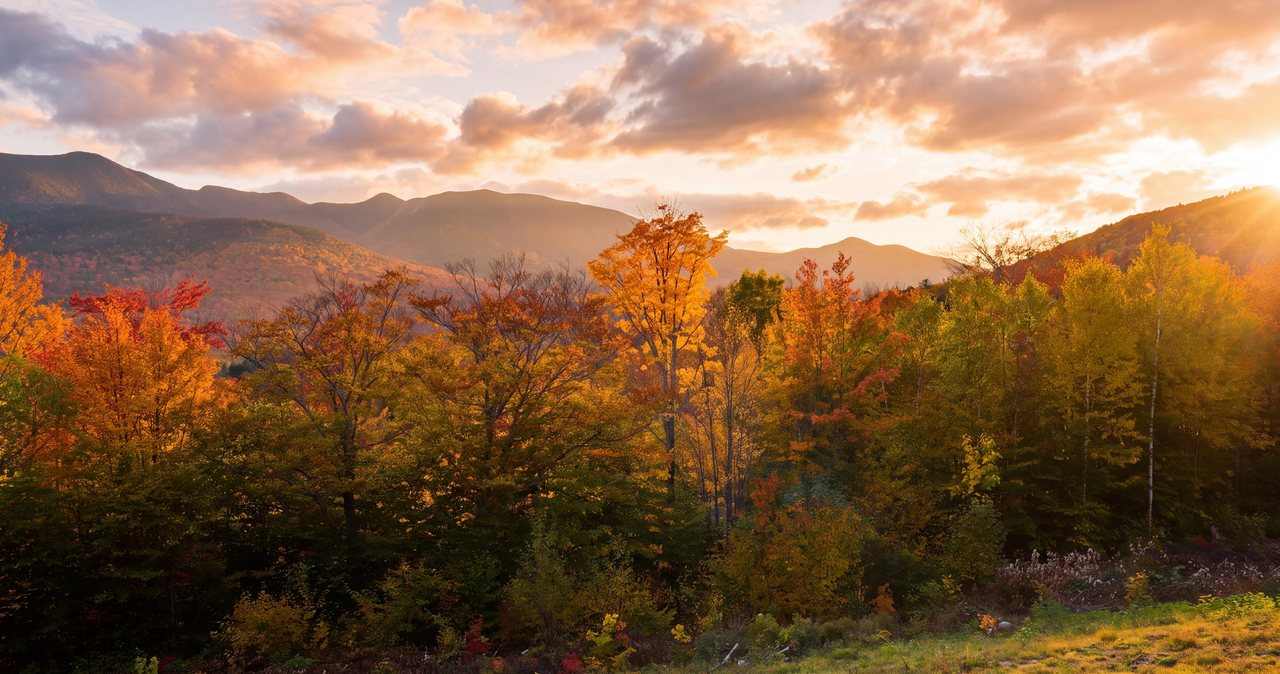
Late spring through fall is the season. The first two weeks of October are the show, with the maples in the valley below the ledges at peak and the covered bridge framed in color; that is also when the lot fills before nine. Summer mornings are quiet and cool under the pines, and the river at the bridge is the cool-down afterward. Mud season, April into early May, makes the steep sections slick and does the trail no good.
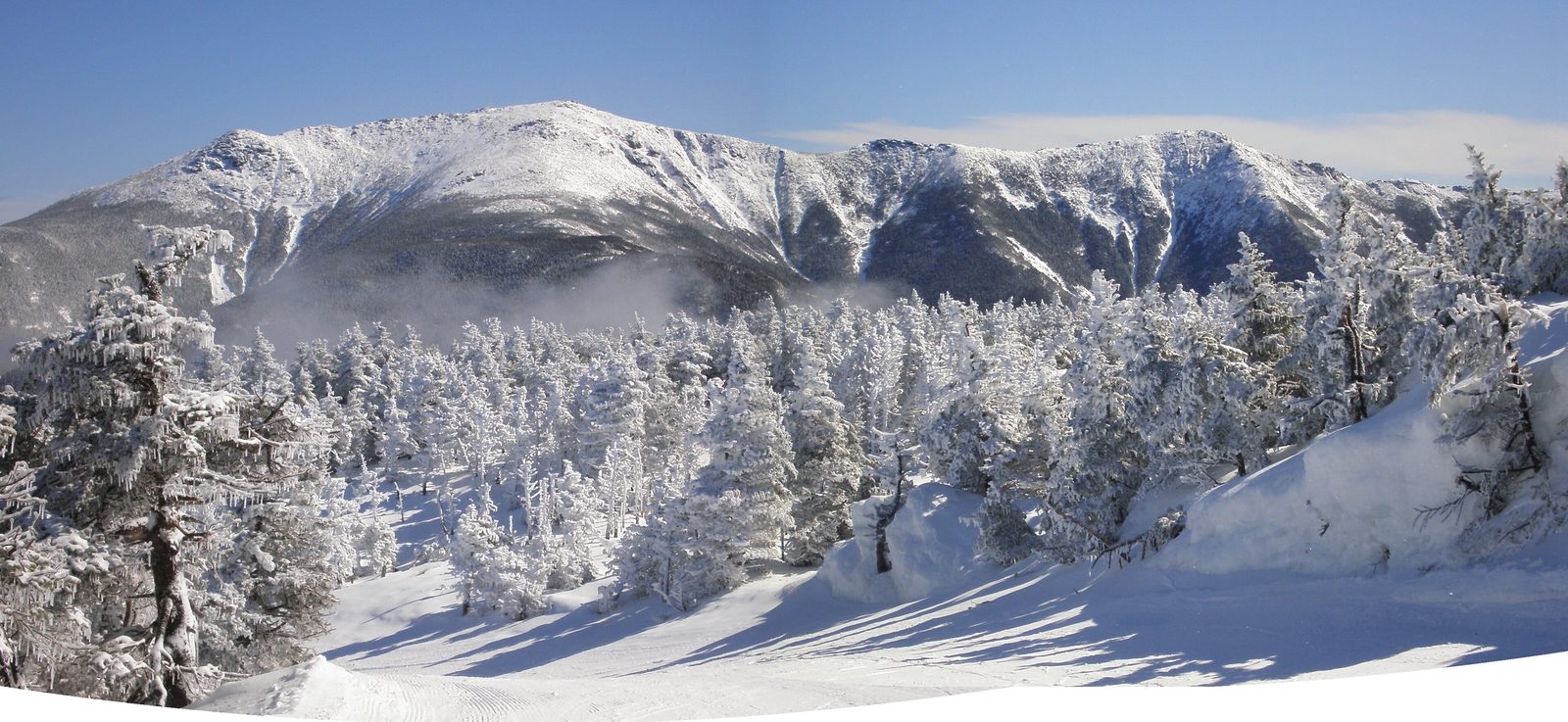
In winter the loop is a fine snowshoe and the boulder field is beautiful under snow, but the steep sections ice over and the ledges are exposed and wind-scoured; microspikes are the minimum and snowshoes are needed after a storm. The Kancamagus is plowed and open year round, and Passaconaway Road to the bridge is normally accessible.
Who this hike is for
Anyone doing the Kancamagus as a day trip who wants one real hike with a real view built into it, without committing to a summit. It suits couples, photographers, and anyone curious about how the ice shaped this landscape. Because it sits at the Conway end of the road, it is the natural stretch of the legs before lunch in Conway or North Conway and a slow drive home through the overlooks.
It is not a hike for anyone uneasy on open, unfenced ledge, and the thousand feet of climbing in a mile is more than the distance suggests. For a gentler stop on the same end of the highway, the Sabbaday Falls walk or the paved path at Rocky Gorge are 20 min back toward Lincoln.
Safety & conditions
- The ledges are open, unfenced granite sloping toward a real drop. Sit well back from the edge, do not back up for a photograph, and treat any wet, dewy or lichen-covered rock as ice. This is the one place on the loop where people get seriously hurt.
- The climb through the boulder field is steep, rooty and rocky for a short hike, and the descent on the counter-clockwise side is where tired knees slip. Use poles if you have them and take the down slowly.
- In winter the steep sections ice over and the ledges are wind-scoured and exposed. Microspikes are the minimum, snowshoes after a storm, and skip the ledge spur in high wind.
- The boulder caves and overhangs tempt people to climb. The rock is rounded, often damp, and a fall between boulders is a bad injury far from help. Look, do not scramble.
- The Swift River at the bridge is a swimming spot with strong current after rain and a rocky bottom. Wade with care, never jump from the bridge or the rocks, and stay out of the water when it is running high.
- There is no gas, no services and almost no cell coverage on the Kancamagus. Fill up in Lincoln, download the map and the interpretive brochure before you leave, tell someone your plan, and consider the $25 hikeSafe card; New Hampshire can bill for a rescue caused by negligence under RSA 206:26-bb.
- Black bears are common in the Passaconaway Valley and the campgrounds beside the trailhead. Keep food in the car, not the pack you leave on a rock, and never feed wildlife.
Where to stay for it
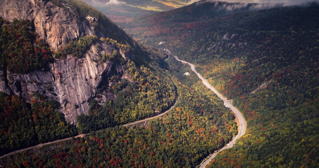
This is the far end of the Kancamagus from our door, and that is the point: it turns the drive into a day. From 191 Pollard Road head east on Route 112 through Lincoln and follow the highway the whole way, up past the Hancock and Pemigewasset overlooks to Kancamagus Pass at 2,855 feet, then down the long grade along the Swift River past Sabbaday Falls, Rocky Gorge and Lower Falls. About 28 miles from the interstate, turn left at the sign for the Albany Covered Bridge, cross the river through the bridge, and the trailhead lot is on the right. Allow 40 min without stops, and fill the tank in Lincoln.
Our guests usually leave after your morning coffee, drive straight through to the Boulder Loop while the light on the ledges is good and the lot is empty, hike it, then work back west with lunch in Conway or a picnic at Rocky Gorge and the overlooks in the afternoon light. On a foliage weekend, reverse it: be at the trailhead by eight, and do the overlooks on the way home when the eastbound crowds have thinned.
The covered bridge and the river make a good last stop before the drive back, and the whole day ends with dinner a 5 min walk from your suite.
Useful links
- Forest Service: Boulder Loop trailhead and interpretive guide
The official page and the numbered-stop brochure; download it before you lose signal on the Kanc. - Forest Service: Albany Covered Bridge
History and rules for the 1858 bridge you drive through to reach the trailhead. - White Mountain National Forest: alerts and recreation passes
Current Kancamagus alerts and pass prices. - hikeSafe: the code and the card
The six-point hiker responsibility code and the $25 / $35 voluntary card. - Our Kancamagus Highway guide
The full drive with every overlook and stop between Lincoln and the covered bridge. - Our Rocky Gorge and Sabbaday Falls guides
The gentler stops 20 min back toward Lincoln, for the drive home.
Sources & official info: fs.usda.gov · trailfinder.info · visitwhitemountains.com · fs.usda.gov · hikesafe.com
— Launchpoint Lodge, From the lodge