
Hiking guides — from the lodge door
Hikes, summits and waterfalls around Lincoln
Detailed trail guides for the White Mountains around Lincoln, written to be more useful than the official ones, by people who walk them.
Cannon Mountain Sunset White Mountains Franconia Notch Grafton County New Hampshire · EgorovaSvetlana · CC BY-SA 4.0 · cropped
Where to start
Trails for every pair of legs
From a 15 min view walk to the full alpine ridge, these are the hikes within a short drive of the lodge, each with the distances, the parking that fills by seven, what to know about weather on the exposed stretches, and the smarter way to do it.
Hikes & Waterfalls
The trail guides

Franconia Ridge Loop
Up the cascades of the Falling Waters Trail to Little Haystack, roughly a mile and a half along the open crest of the Franconia Range over Mount Lincoln to Mount Lafayette, then down past Greenleaf Hut on the Old Bridle Path. It is one of the finest ridge walks in the East, and one of the most exposed. Here is how to do it well.
Read the guide →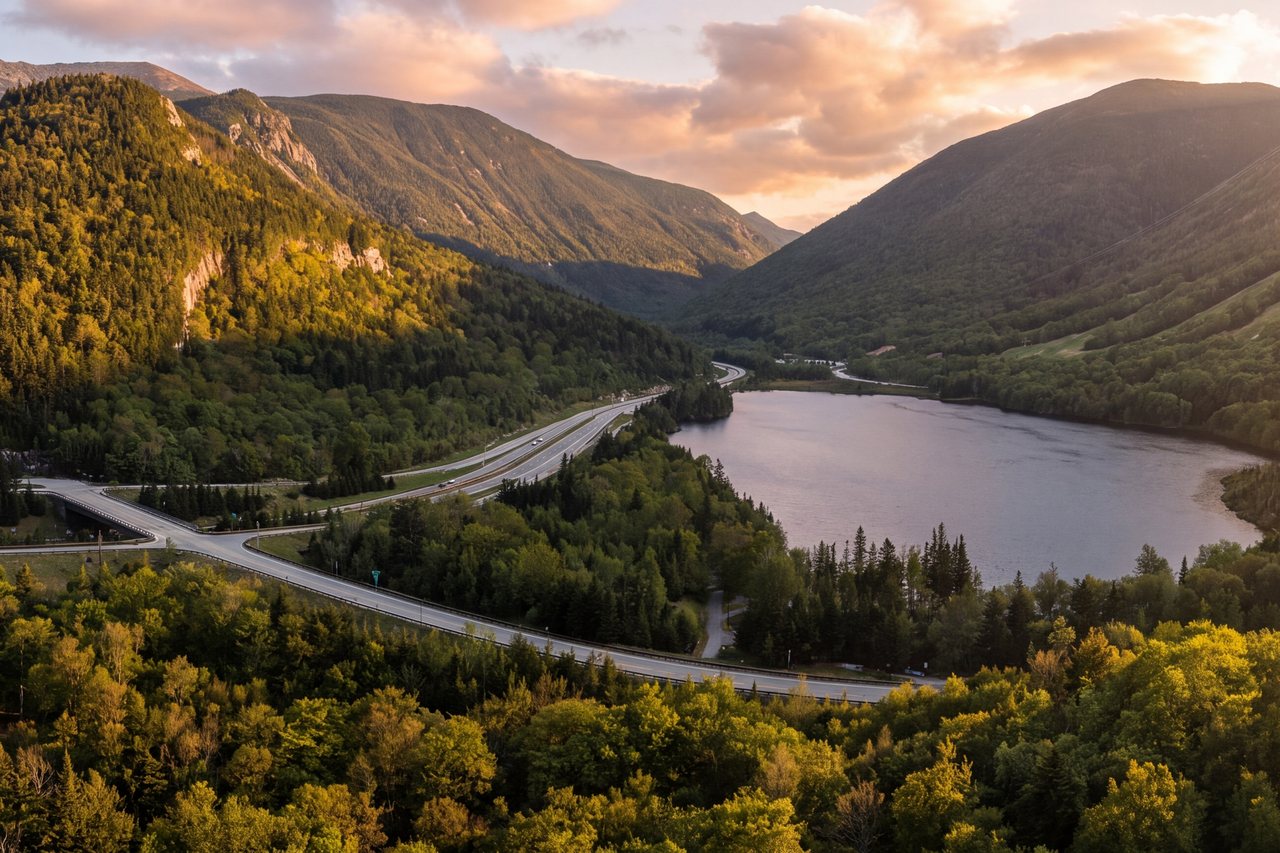
Artist Bluff & Bald Mountain
A mile and a half of trail buys you two open ledges over Echo Lake, Cannon, and the spine of Franconia Ridge. Here is how to hike it well, when to go, and where to park before the lot fills.
Read the guide →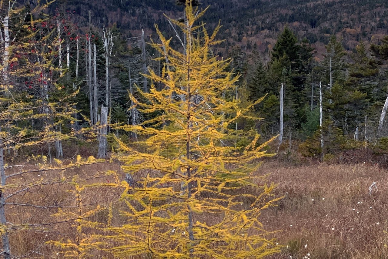
Lonesome Lake Trail
A steady 1.6-mile climb from Lafayette Place to a high mountain lake, the loop around its shore, and the AMC hut on the far side. This is the trail-by-trail guide — the route, the parking reality, and the hut.
Read the guide →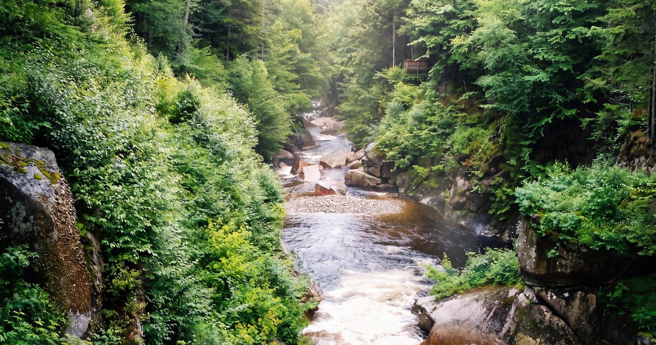
Mount Pemigewasset (Indian Head)
A moderate 3.4-mile round trip from the Flume that ends on open granite ledges roughly 1,000 feet above the floor of Franconia Notch, looking across at Franconia Ridge. A lot of view for the effort — as long as you respect the exposed edge and the weather.
Read the guide →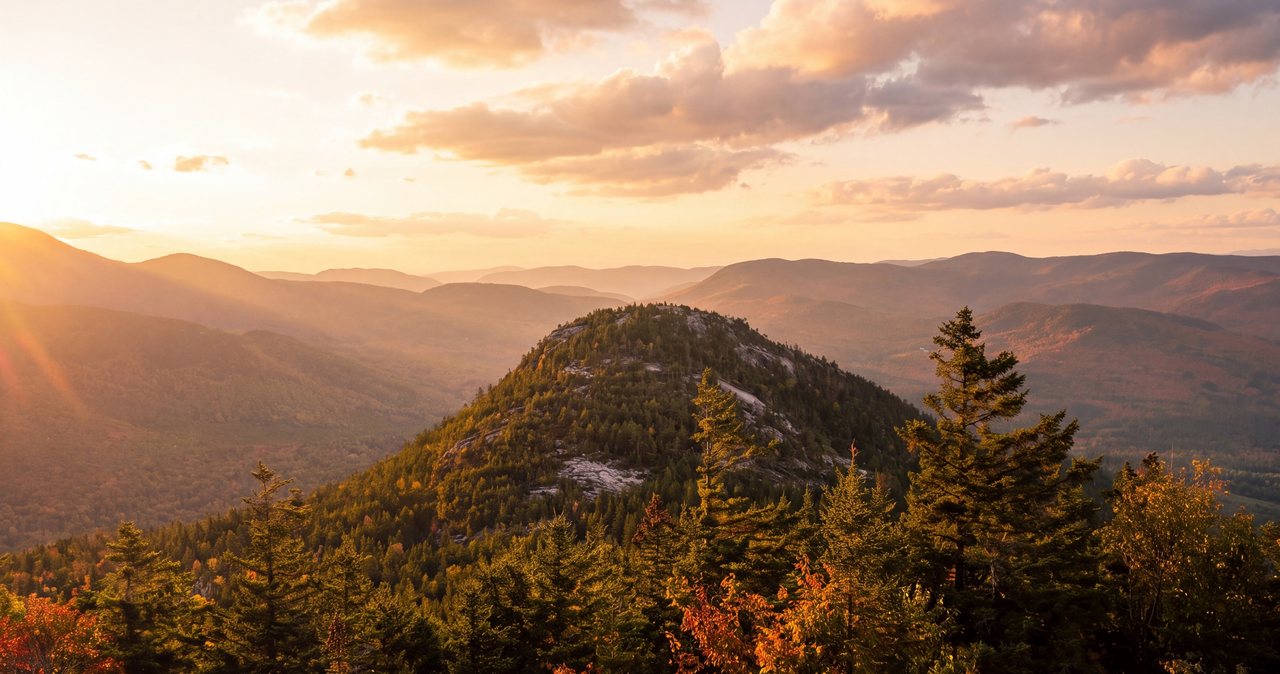
Welch–Dickey Loop
Two open granite summits, wide-open ledges, and a rare stand of jack pine, all on a loop under five miles. It gives more view per mile than almost anything nearby, and that is exactly why the lot fills early and why the weather on those slabs deserves your respect.
Read the guide →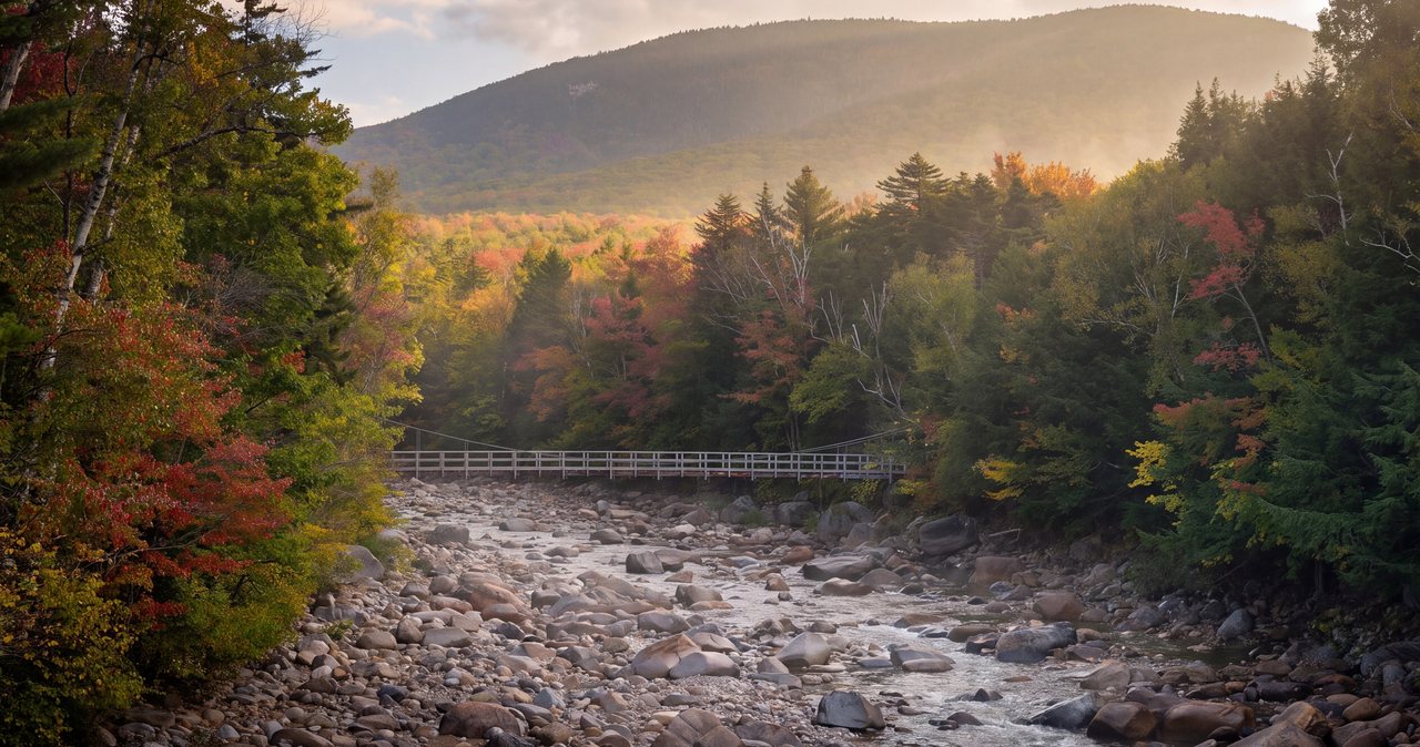
Franconia Falls
A nearly flat walk on an old railroad grade beside the East Branch of the Pemigewasset to a broad granite cascade and swimming hole at the edge of the Pemigewasset Wilderness. One of the easier long walks to serious moving water in the White Mountains — in the seasons the trail is open.
Read the guide →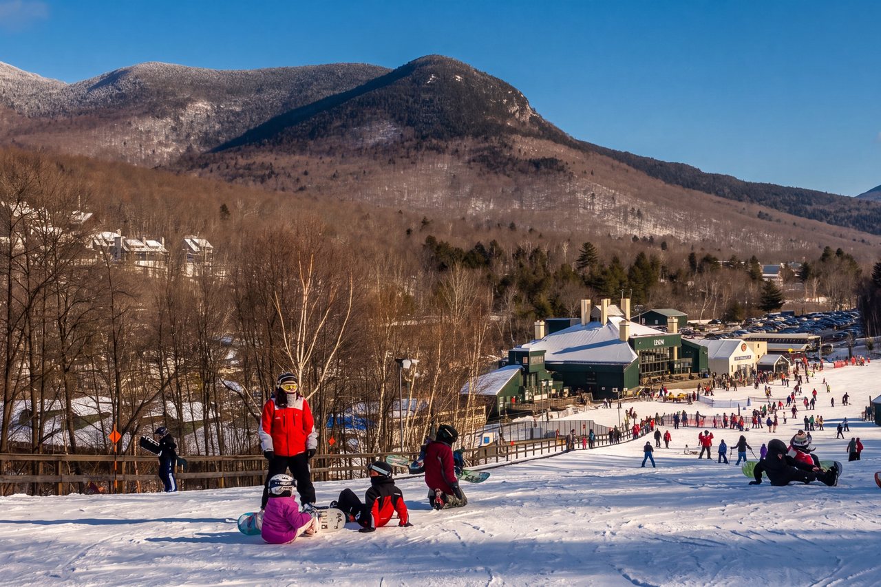
Serendipity Loop
A gentle two-mile loop along the East Branch of the Pemigewasset on Loon's trail network — the easiest real walk near the lodge, and a shared-use one, so listen for bikes.
Read the guide →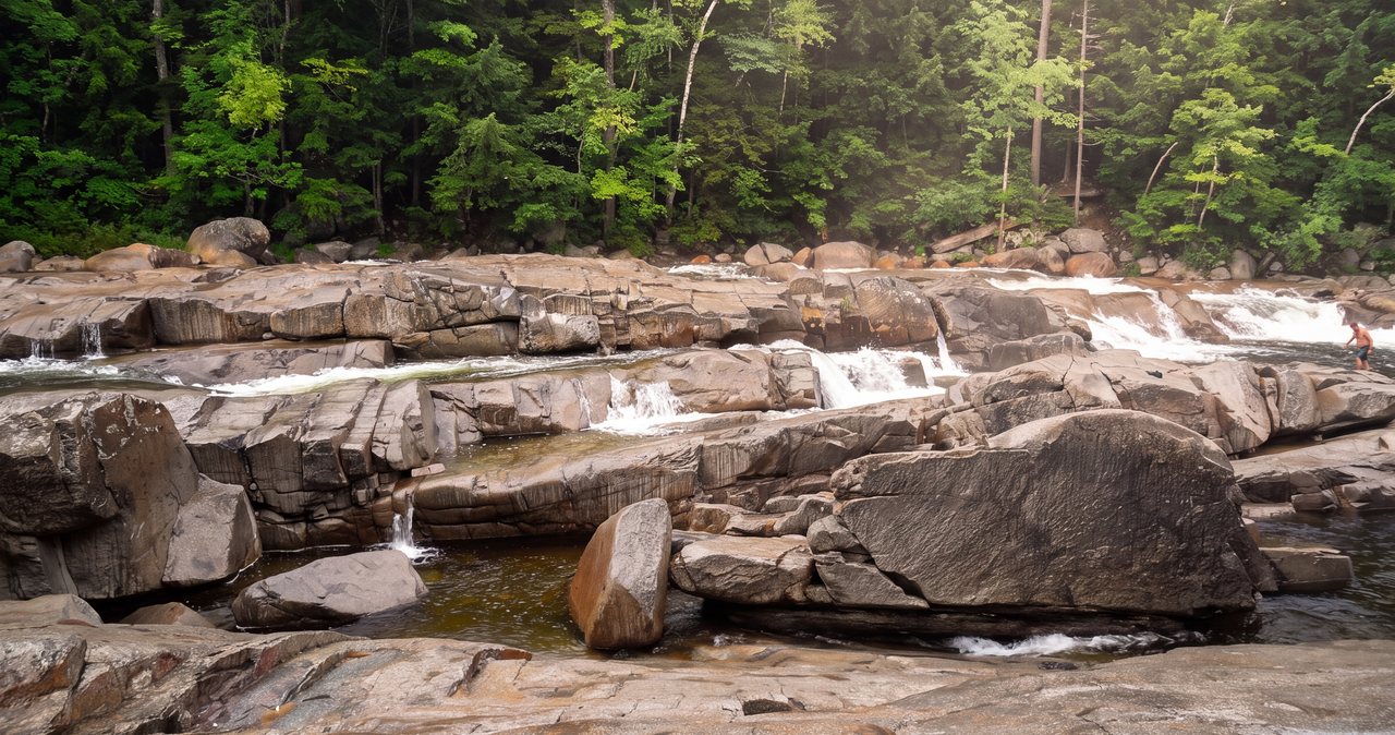
Lower Falls (Swift River)
The Kancamagus Highway's sanctioned swimming ledges — glorious in low, warm water and best admired from the rocks when the river runs high. Here is how to read the river, park it, and swim it safely, about 40 min east of the lodge.
Read the guide →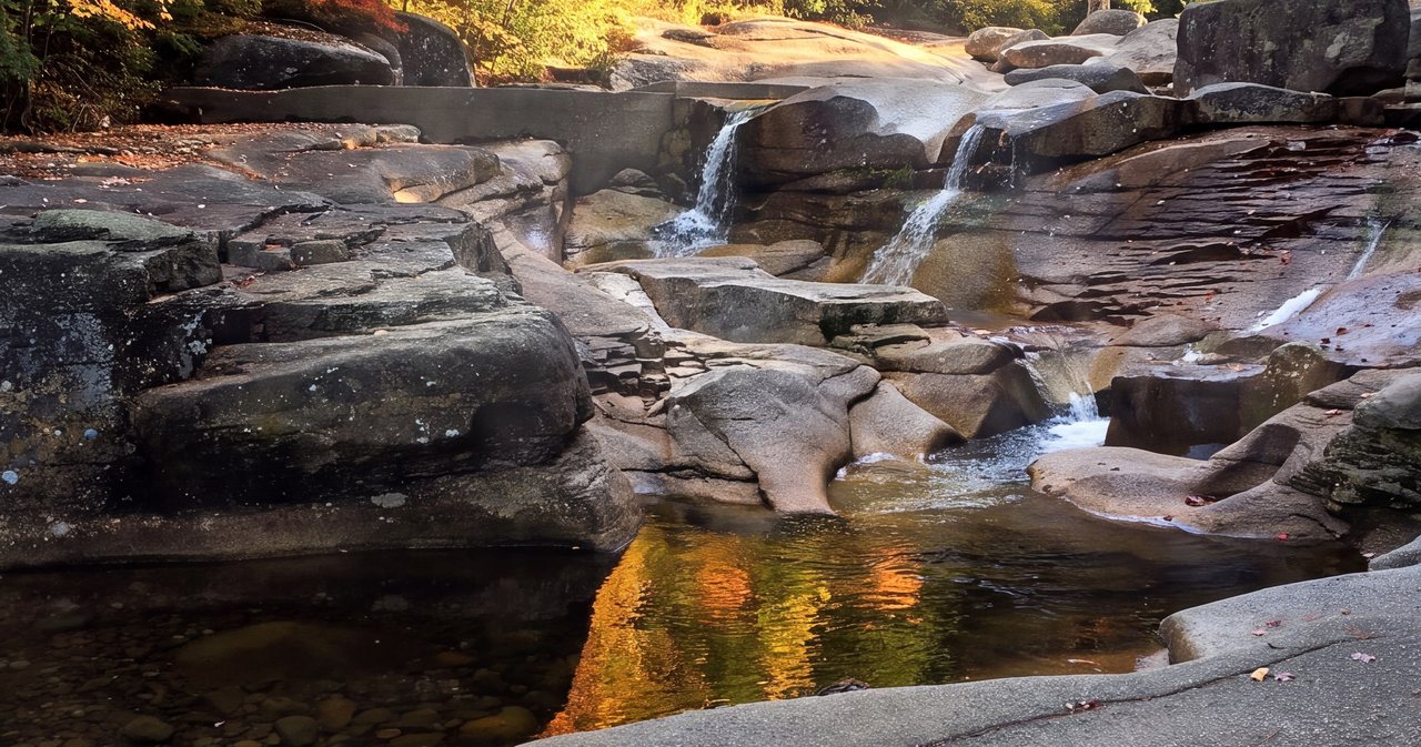
Diana's Baths
A flat, mostly accessible 1.2-mile round trip to a granite staircase of cascades and potholes on Lucy Brook. Wildly popular, gentle, and easy to underestimate when the water is high.
Read the guide →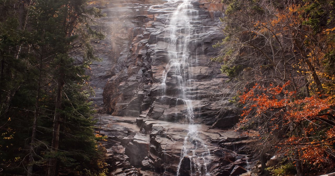
Arethusa Falls
A moderate out-and-back to a single sheet of granite-fed water that drops something close to 140 feet. Real distances, the real story on parking and the $5 fee, where the footing bites, when the water runs biggest, and how to know when to turn around. About 40 min from the lodge.
Read the guide →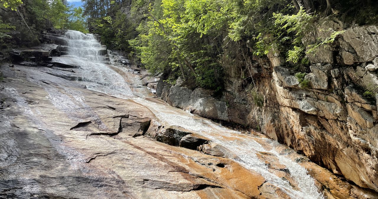
Ripley Falls
A short, steep, rooty climb off US 302 to one of the White Mountains' tallest single-drop cascades. Here's what to know: parking, the short but steep mile, the slick slab to stay off, and exactly how to pair it with Arethusa Falls next door.
Read the guide →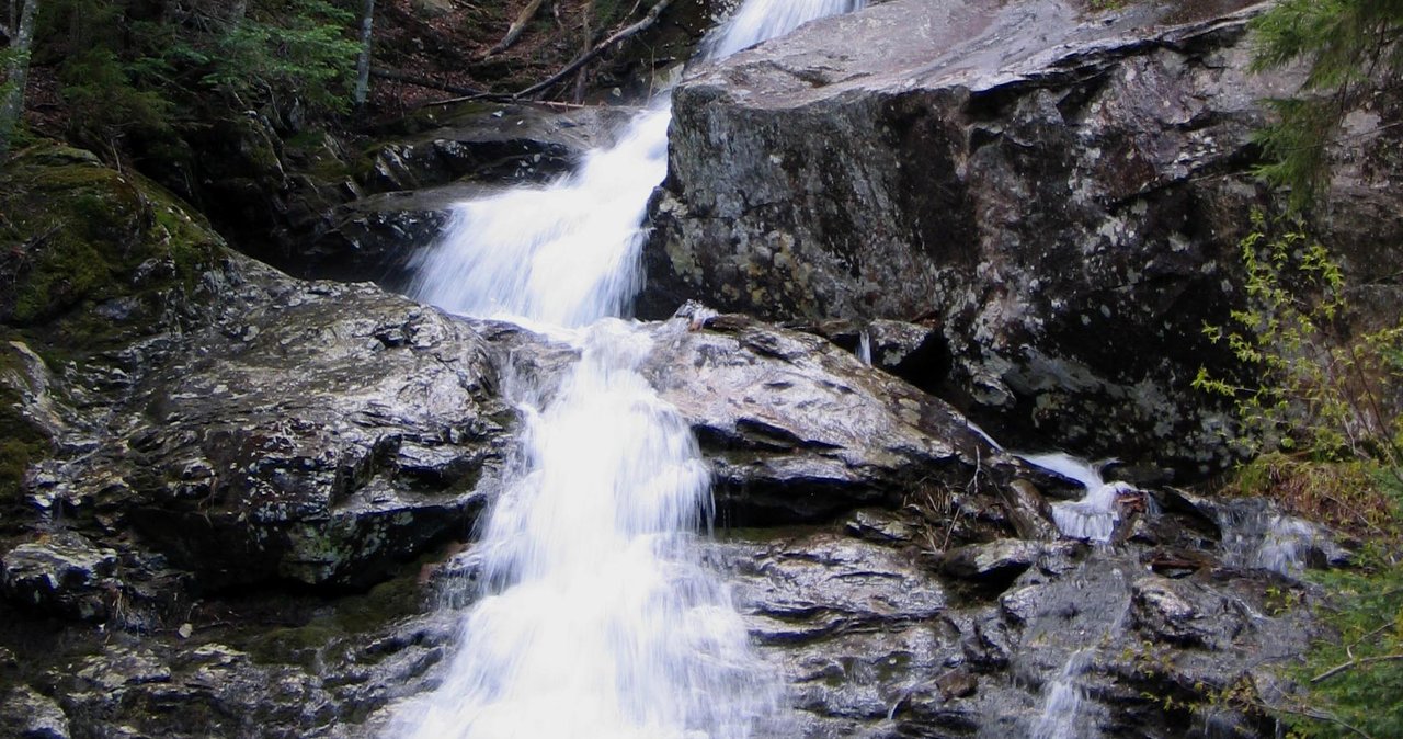
Beaver Brook Cascades
A near-continuous half-mile of waterfalls beside one of the steepest, slickest trails on the entire Appalachian Trail. You can savor the cascades on a short, stiff out-and-back — no summit required — if you respect the rock.
Read the guide →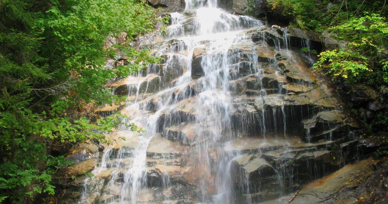
Cloudland Falls
Three waterfalls stacked up a mountainside — Stairs, Swiftwater, and the 80-foot Cloudland — reached on the same Falling Waters Trail that ridge hikers pour down off Franconia. It is a real climb with real stream crossings, not a roadside stroll. Here is exactly what to know before you go.
Read the guide →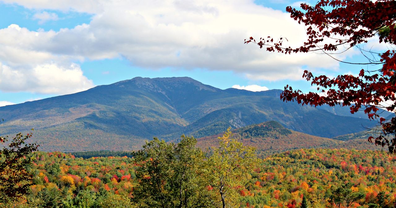
Mount Lafayette
The straight way up the biggest mountain in Franconia Notch: 8 miles round trip, about 3,500 feet of climbing, a staffed hut two-thirds of the way up, and a final mile above the trees that you earn or you don't. This is the out-and-back version - the full ridge loop has its own guide. Here is how to do this one right, with the parking truth nobody prints.
Read the guide →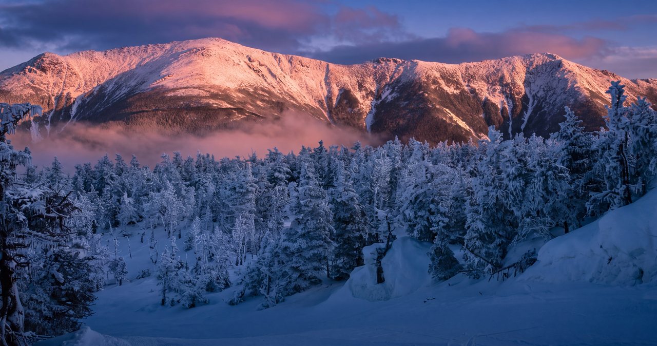
Mount Lincoln
New Hampshire's seventh-highest peak has no trail of its own - the only way to stand on it is to get yourself onto Franconia Ridge and walk the crest. There are three practical ways to do that, and they are not interchangeable. Here is all of it: the routes, the 2026 parking reality, and the weather judgment that a ridge with exactly two exits demands.
Read the guide →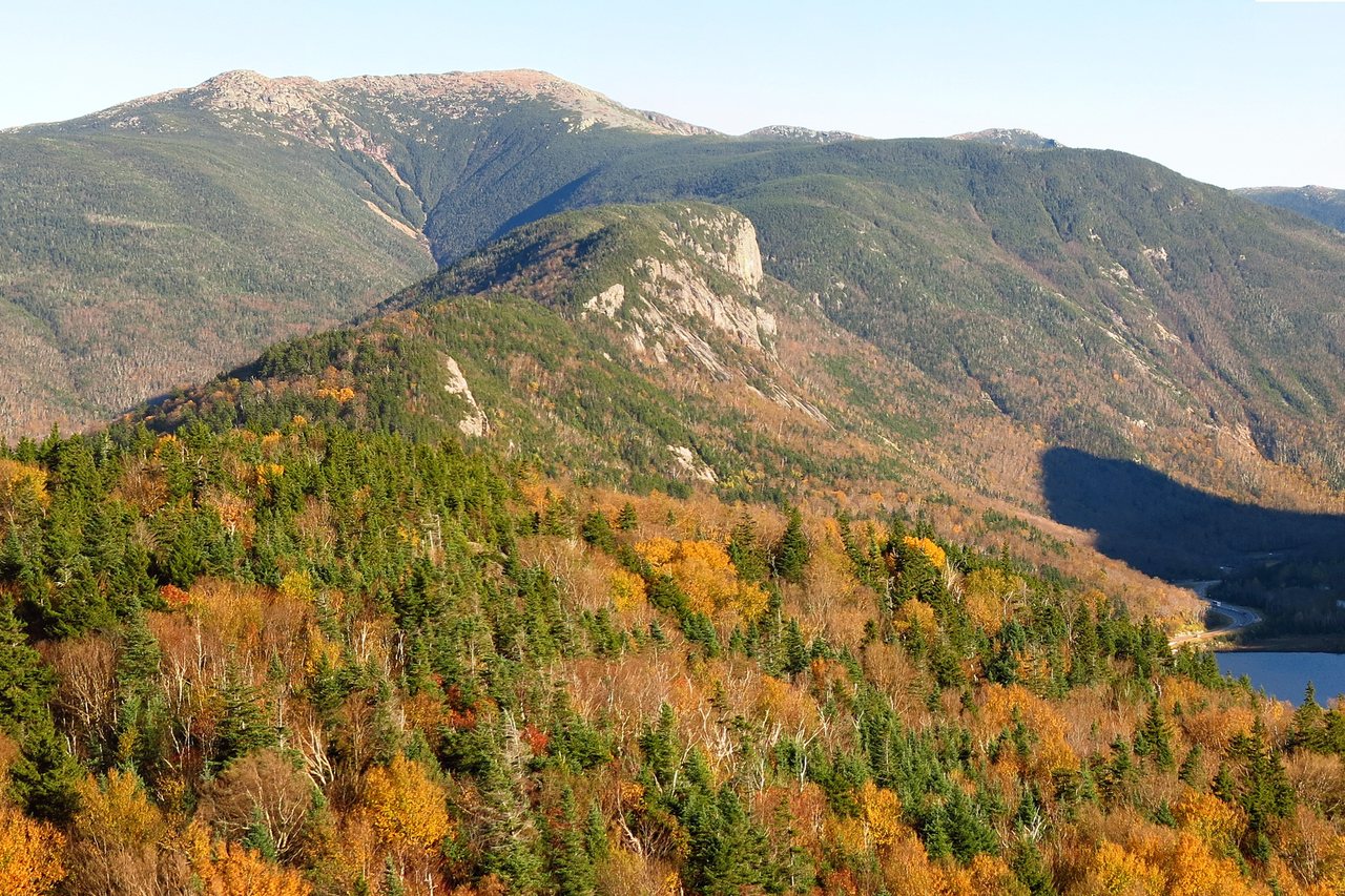
Little Haystack Mountain
Three waterfalls, five unbridged brook crossings, about 3,000 feet of climbing in 3.2 miles, and a summit above the trees at the south end of Franconia Ridge - without committing to the whole loop. Here is the direct hike mile by mile, with the 2026 parking facts, the stretch of trail where people get hurt, and the judgment calls that keep a good day from turning into a carry-out.
Read the guide →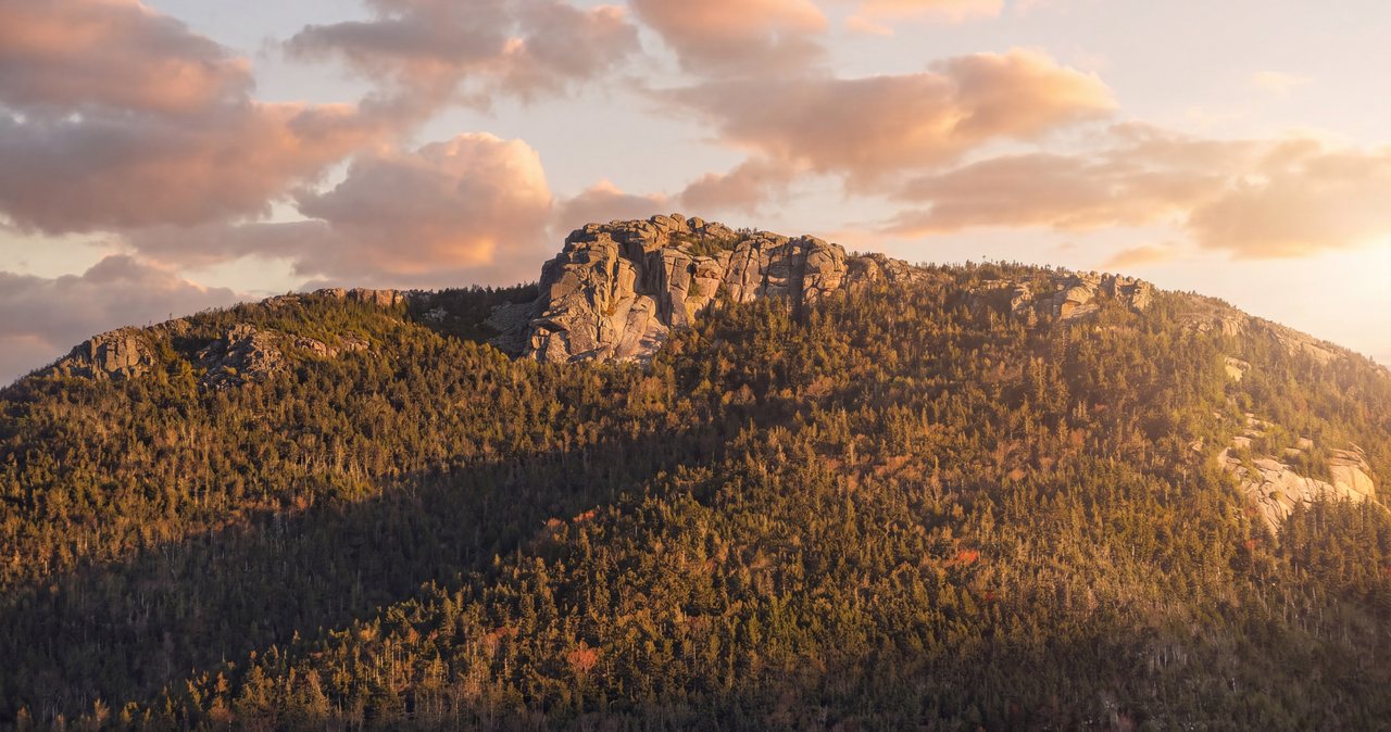
Mount Liberty
At 4,459 feet, Mount Liberty is the Franconia Ridge 4,000-footer you climb almost entirely in the trees - a long, steep, sheltered haul up the Liberty Spring Trail that only breaks into the open at a rock-crag summit with the whole of Franconia Notch spread below it. Here is what to know: the 2026 distances and parking, the water crossings, the Flume add-on, and why the weather exposure works differently here than on the rest of the ridge.
Read the guide →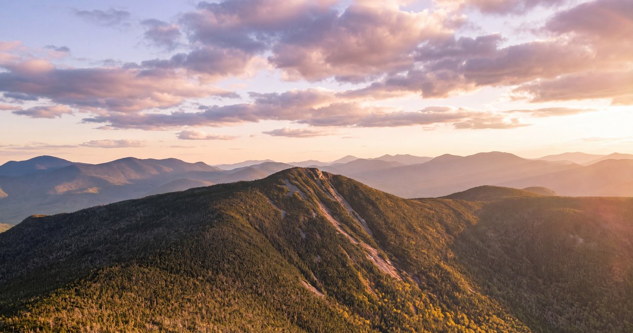
Mount Flume
At 4,328 feet, Mount Flume is the southern end of Franconia Ridge and one of the more misunderstood 4,000-footers in the notch, because there are two ways up it that could not be more different. One is a long, sane walk over Mount Liberty. The other is the Flume Slide Trail - a steep, almost always wet granite slab that people get hurt on. Here is the real 2026 version: the real distances, which route is which, the parking, the closures, and the blunt truth about the slide.
Read the guide →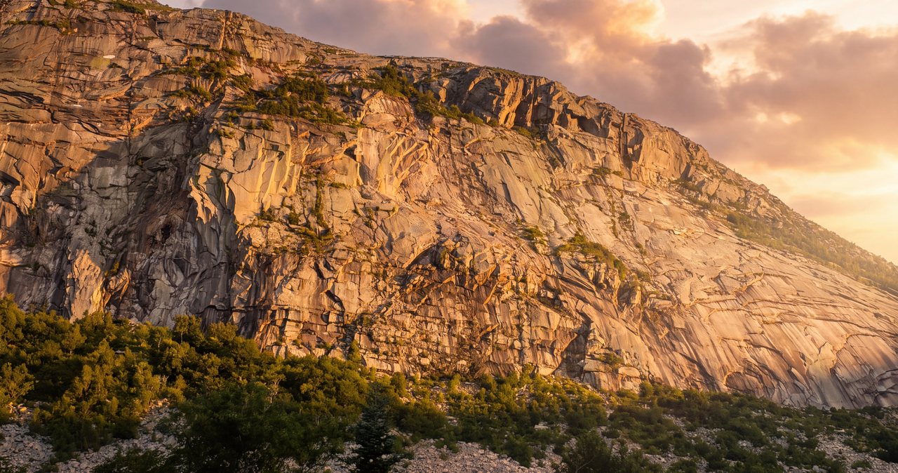
Cannon Mountain (on foot)
Cannon is a genuine 4,000-footer with an observation tower and a 360-degree view, and for forty-five years most people who stood up there had ridden a cable car to do it. The state retired that tram in October 2025 for a multi-year rebuild, so in 2026 the top is a hiker's summit, reached by a short, rough, and very steep walk. Here is the plain version: the two real routes, the free parking, the Old Man connection, and what to expect at a wind-scoured summit with nothing running.
Read the guide →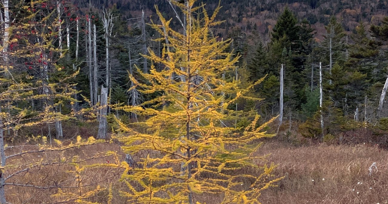
North & South Kinsman
The Kinsmans are the two big wooded peaks on the west side of the notch, south of Cannon - North at 4,293 feet, South at 4,358 - and the standard climb is a full ten-mile day from Lafayette Place, past Lonesome Lake and up the Fishin' Jimmy Trail, which is famous for the wooden rungs and steps bolted to its steep, sheltered, almost-always-wet slabs. This is the version: the real numbers, the wet-slab problem, the two very different summits, the quieter Easton-side alternative, and what keeps you safe up there.
Read the guide →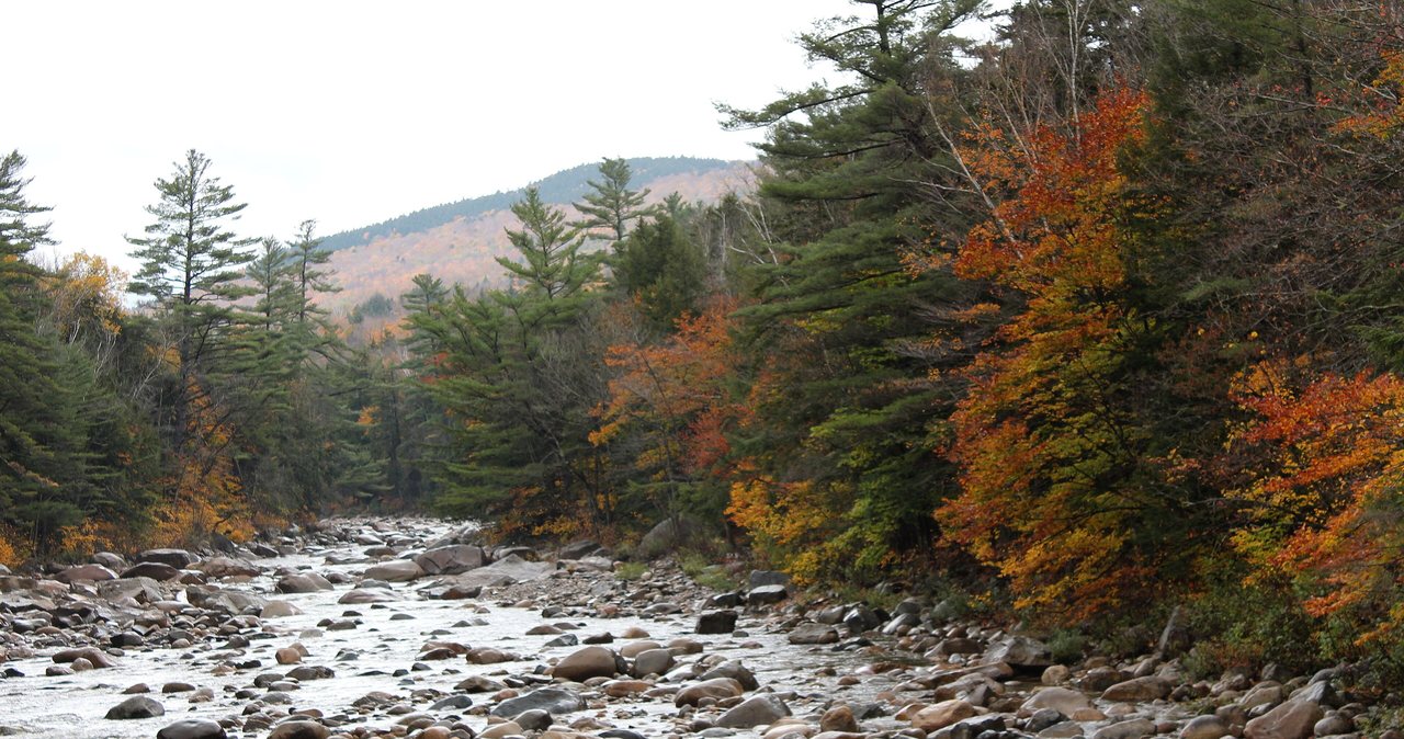
The Pemi Loop
The Pemigewasset Loop rings the roadless heart of the Whites - about 31 to 32 miles and roughly 9,000 feet of climbing over Osseo, Flume, Liberty, the whole Franconia Ridge, Garfield, Galehead, South Twin, and the Bonds. This is the plain version: the real numbers, how to do it in one elite day or two or three, the water problem on the dry ridge, the bailout routes, and the two big 2026 changes - the Lincoln Woods Trail closure that breaks the classic start, and the new law that you must carry a bear canister.
Read the guide →Owl's Head
Owl's Head is a 4,025-foot wooded summit with no view and no maintained trail, reached by about 18 miles of walking deep into the Pemigewasset Wilderness. It earns its place as one of New Hampshire's forty-eight 4,000-footers, and the brook crossings on the way in are best saved for low water. It also has a real 2026 problem: the Lincoln Woods Trail that starts the hike is closed for the summer and fall, and the workarounds are not simple.
Read the guide →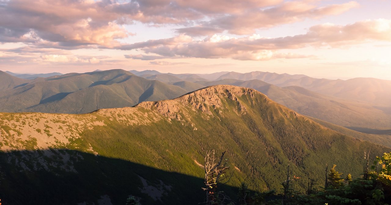
The Bonds (Bondcliff, Bond & West Bond)
Bondcliff, Mount Bond, and West Bond sit roughly eight to eleven miles of walking from the nearest trailhead depending on the approach, in the middle of the Pemigewasset Wilderness - the deepest, most roadless country in the White Mountains. The standard trip is a roughly 23-mile out-and-back from Lincoln Woods with the most famous view in the range and a full mile of open, above-treeline walking. This is the plain version: the real numbers, the day-hike-or-backpack call, the water, the weather, and the 2026 Lincoln Woods closure that pushes you to a northern start.
Read the guide →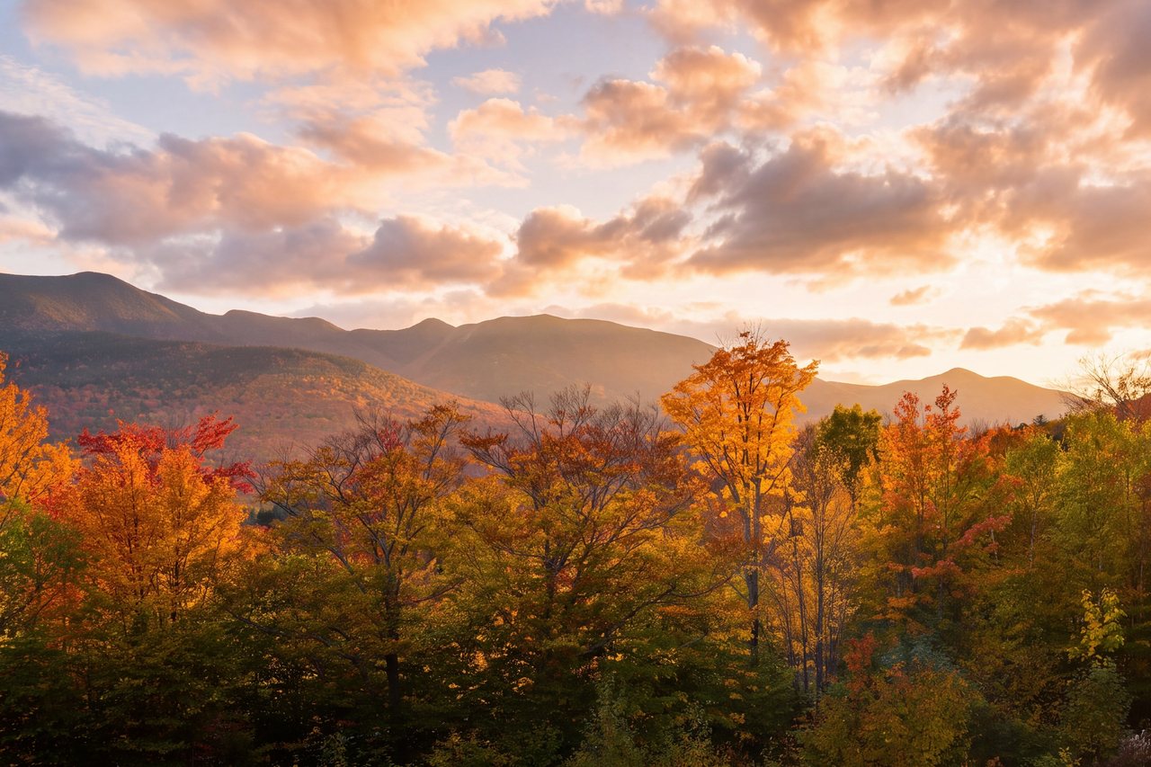
North & South Hancock
Two wooded 4,000-foot summits reached by a lollipop loop off the Kancamagus hairpin, about 25 min from the lodge. The first three-plus miles are nearly flat, and then the loop stands straight up into two of the steepest sustained climbs in the White Mountains. Here is the plain 2026 version - the real numbers, the blind-corner parking, the water crossings, which arm to climb, and when to turn around.
Read the guide →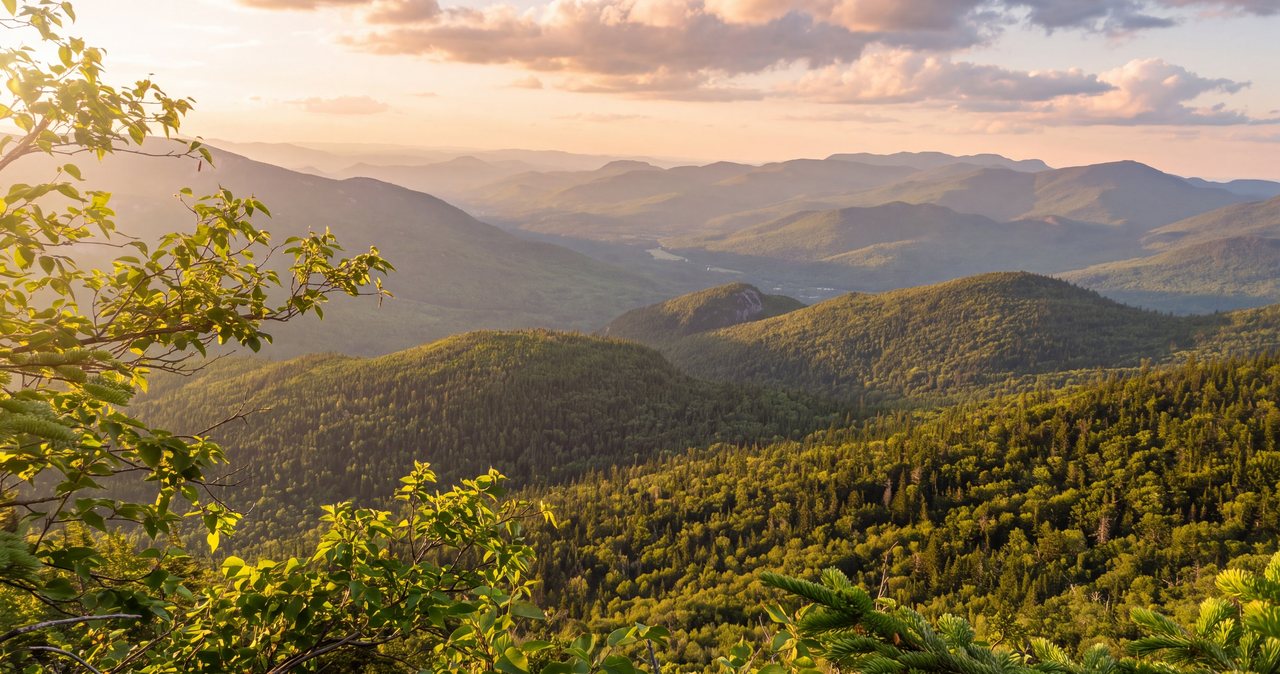
Hedgehog Mountain
Hedgehog Mountain is only 2,532 feet, one of the more modest peaks on the New Hampshire 52 With a View list, and it pays out three separate open viewpoints - Allen's Ledge, the broad East Ledges, and the summit ledges under the wall of Mount Passaconaway - for a modest loop of about 4.8 miles. It is far quieter than the Franconia Ridge names, and the UNH Trail leaves right from a Forest Service lot on the Kancamagus Highway. Here is the current 2026 version: the real numbers, which way to walk the loop, and the open slabs that turn slick and icy in the shoulder seasons.
Read the guide →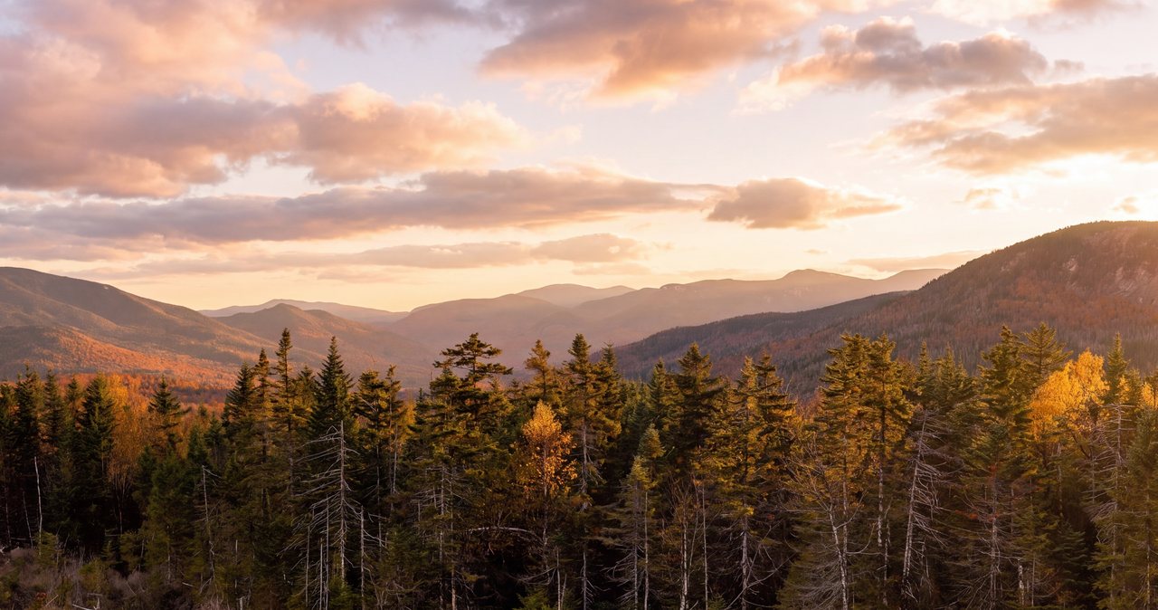
Potash Mountain
Potash Mountain is a short, practical big-view hike in the Sandwich Range - about 4.4 miles round trip on the Mt Potash Trail to a largely open, 2,700-foot summit with a wide look at Mount Passaconaway, Whiteface, the Tripyramids and Mount Chocorua. It shares a Forest Service lot on the eastern Kancamagus with the Hedgehog Mountain loop, so the two make an easy double. Right at the start you cross Downes Brook with no bridge, and in high water that crossing can turn you around before you have really begun. Here is the plain 2026 version - the real numbers, the crossing, the ledges and the firm turnaround calls.
Read the guide →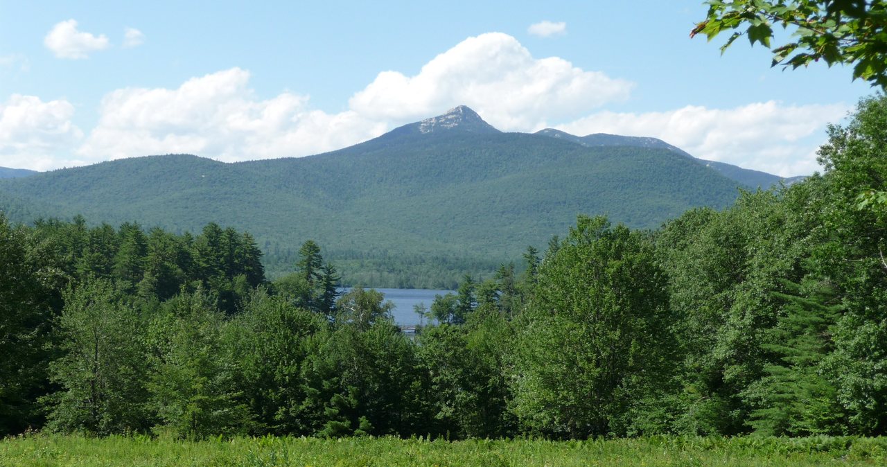
Mount Chocorua
At 3,490 feet, Mount Chocorua is not on the New Hampshire 48 list, and people who read only that number get themselves in trouble. The standard route from the Kancamagus - the Champney Falls Trail, about 7.5 to 7.6 miles round trip - ends with a long stretch of open rock scrambling on a fully exposed summit cone with nothing between you and the sky. It is a wonderful hike and a serious one. Here is the plain 2026 version: the real distances, the fee lot, when the waterfall has water, and why the summit is a bad place to be caught in a storm.
Read the guide →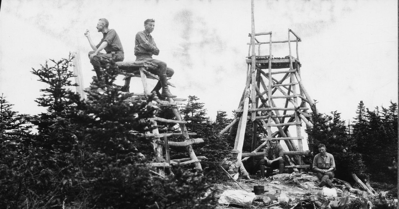
Mount Carrigain
Mount Carrigain is a 4,700-foot summit sitting by itself in the middle of the Pemigewasset Wilderness, which is exactly why the view from the tower on top is the one a lot of hikers call the best in the White Mountains. The standard route is the Signal Ridge Trail, about ten miles round trip with roughly 3,300 feet of climbing. Here is what to know: the numbers, the Sawyer River Road access to check first, the brook crossings that can end the day early, and how to read the weather up high.
Read the guide →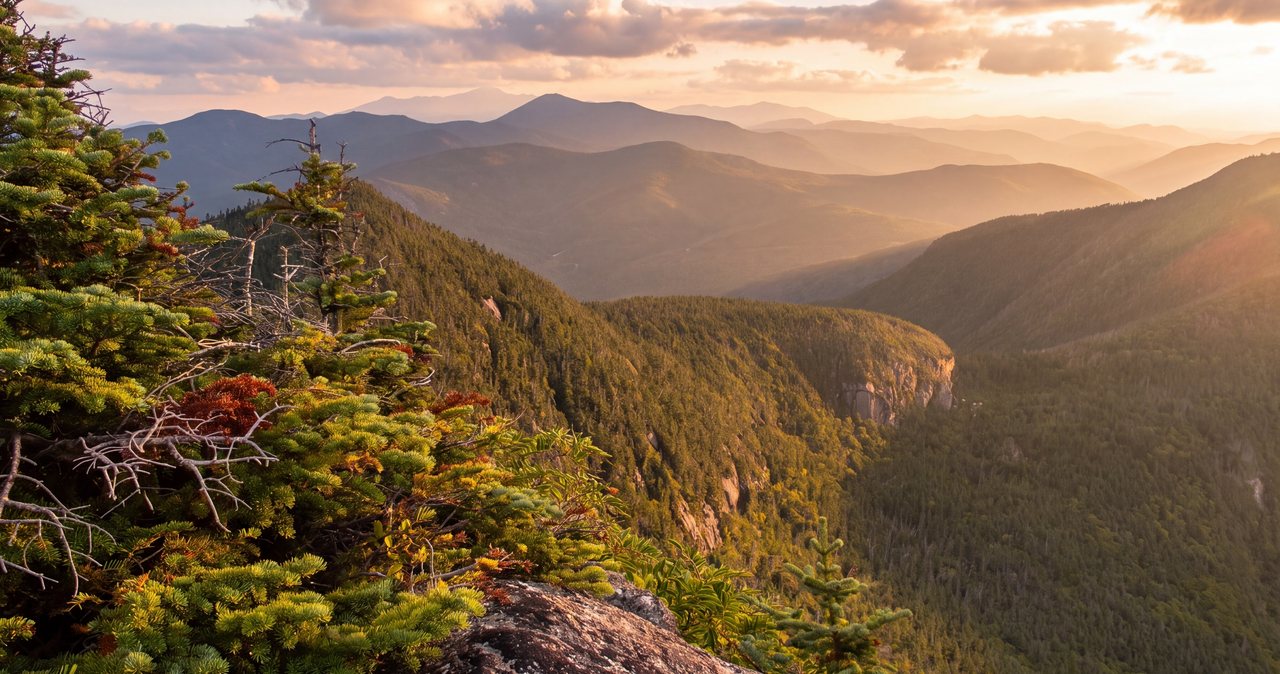
Mount Osceola
At 4,340 feet, Mount Osceola is one of the easier peaks on the New Hampshire 48 list and a popular first 4,000-footer - about 6.4 miles round trip to a wide flat ledge where a fire tower once stood. Two things keep it from being a casual walk: the road to the trailhead is a seasonal gravel road that is gated shut for roughly half the year, and the tempting side trip to East Osceola drops through a short near-vertical rock pitch called the Chimney. Here is the current 2026 version - the real numbers, the road status, the parking pass, and where people get stopped.
Read the guide →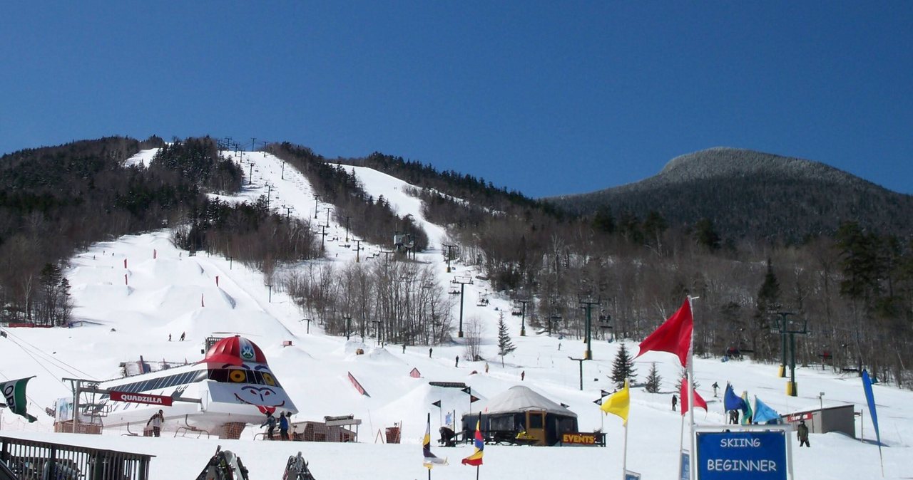
Mount Tecumseh
At 4,003 feet, Mount Tecumseh is the lowest peak on the New Hampshire 48 list - and the one a newer survey says might not clear 4,000 feet at all. The standard climb, the Mount Tecumseh Trail from the Waterville Valley ski area lot, is about 5 miles round trip and roughly 2,200 feet of steady, staircase-like uphill to a wooded summit with a modest cut view. It is a fair first 4,000-footer and one of the better first winter ones. Here is the real 2026 version - the numbers, the ski-area parking, the plain truth about the view, and the elevation story.
Read the guide →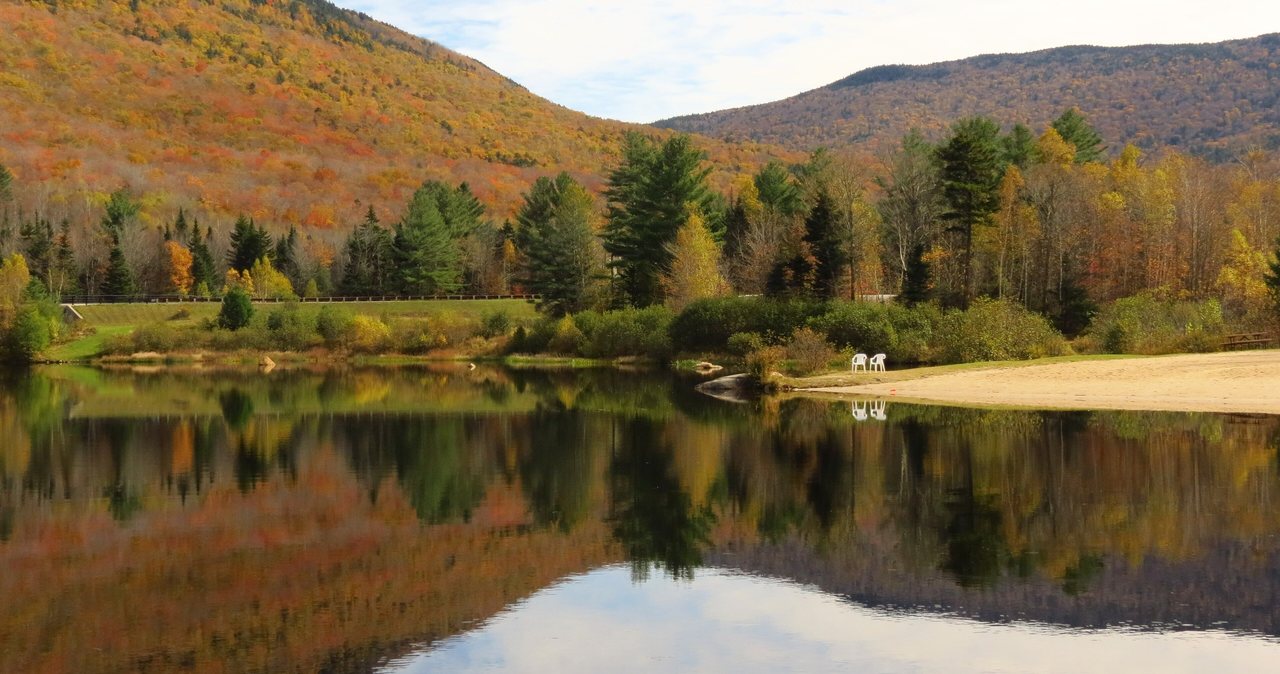
North & Middle Tripyramid
Two wooded 4,000-foot summits above Waterville Valley, joined by a rough loop off the Livermore Trail, about 35 min from the lodge. The highlight is also the part to take seriously - the North Slide, a sheet of open, water-polished slab you climb up and never come down. Here is the 2026 version: the real numbers, the slab hazard, the loose South Slide descent, the sane Scaur Ridge alternative, and when to turn around.
Read the guide →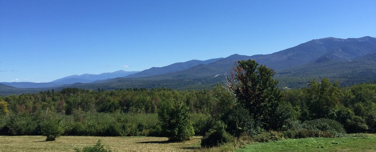
Mount Garfield
Mount Garfield is a 4,500-foot summit on the far side of the Pemigewasset Wilderness, and the reward on top is the cleanest head-on look at Franconia Ridge in the White Mountains, taken in from inside the concrete foundation of a fire lookout long since gone. The standard route is the Garfield Trail, about ten miles round trip with roughly 3,000 feet of climbing, graded so kindly that people call it the easiest of the remote 4,000-footers - as long as you respect the distance. Here is the plain 2026 version: the real numbers, the Gale River Loop Road access that sets your mileage, the open summit and its weather, and the turnaround judgment that keeps people out of trouble.
Read the guide →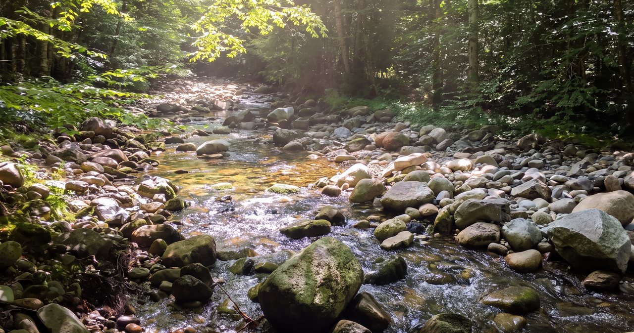
Galehead Mountain
Galehead is a 4,024-foot summit deep in the Twin Range, and here is the plain truth about it: the summit is wooded with no view, and the real destination is Galehead Hut, the most remote of the Appalachian Mountain Club's eight backcountry huts, with a front porch that looks out over the whole Pemigewasset Wilderness. The standard route is the Gale River Trail to the hut, then the short Frost Trail to the top - about 10.2 miles round trip. Here is the 2026 guide: the numbers, the seasonal road, the North Branch crossings that decide your day, and whether to add South Twin's steep climb next door.
Read the guide →
North & South Twin
North Twin (4,761 ft) and South Twin (4,902 ft) sit a mile and a bit apart at the head of the Little River valley, and most people take both in one roughly 11-mile day on the North Twin Trail. South Twin's open summit is one of the best sit-down views in the White Mountains. To earn it you cross the Little River three times with no bridges - easy rock-hops in low water, a real hazard when the river is up - and that single fact decides more days on this hike than the weather does. Here is the real 2026 version: the real numbers, the crossings, the unofficial herd path, the winter road gate, and when to turn around.
Read the guide →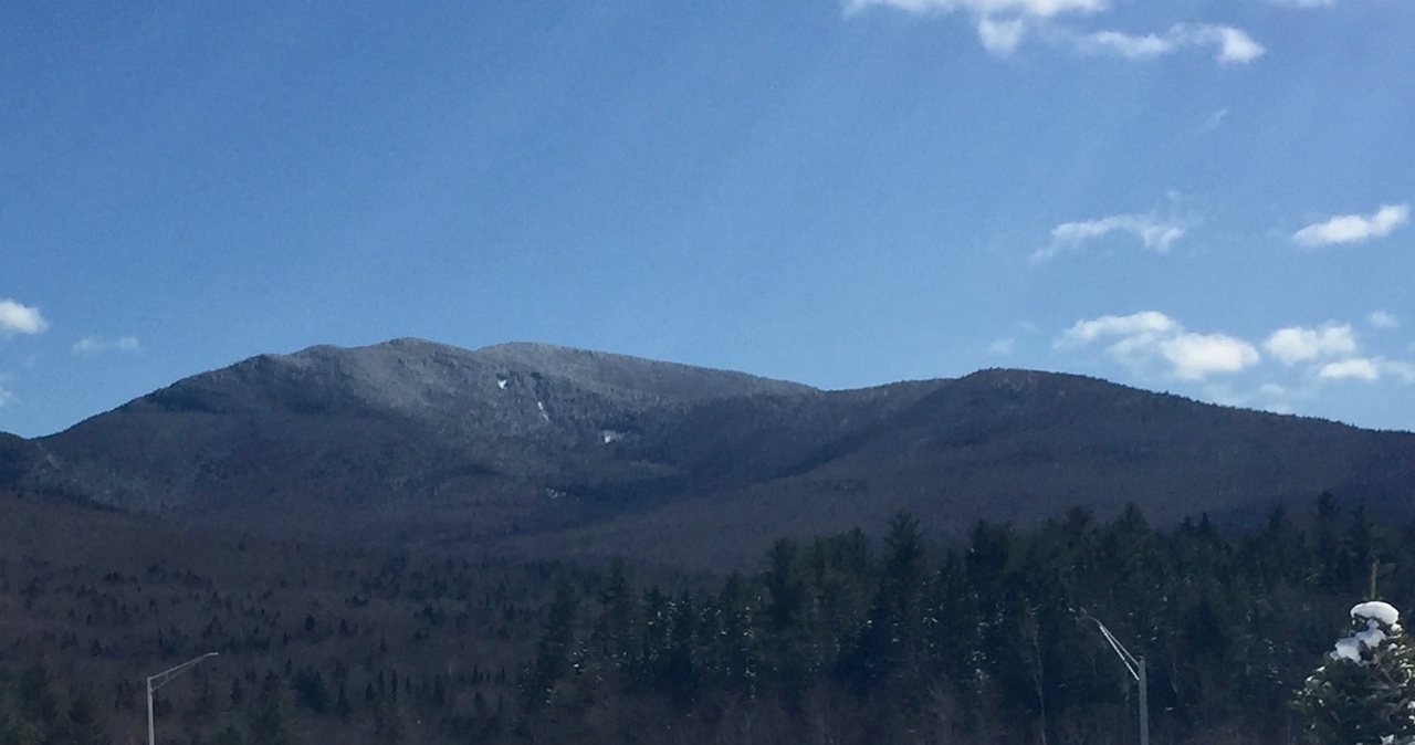
Mount Hale
Mount Hale is a 4,054-foot summit in the Twin Range, and it is one of the friendlier peaks on New Hampshire's list of 48 four-thousand-footers - a steady, moderate climb of about 4.4 miles round trip on the Hale Brook Trail off Zealand Road. Here is the full 2026 guide: the numbers, the seasonal road that turns this into a long winter day, the brook crossings that decide a wet morning, the big summit cairn, the wooded top the trees have reclaimed, and the story behind the famous magnetic rock.
Read the guide →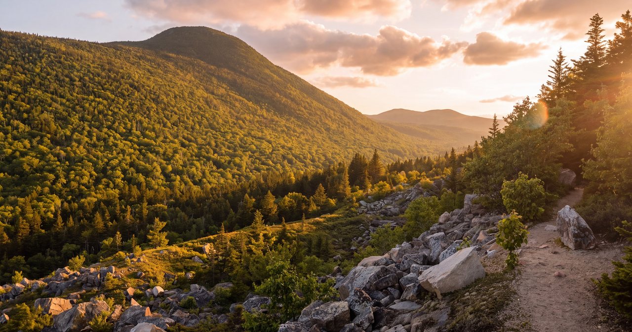
Middle Sugarloaf
Middle Sugarloaf is the small hike we point guests to for a rest day - about 3 miles round trip on the Sugarloaf Trail to a 2,539-foot summit that opens onto a big sweep of bare granite, with the Twin Range across the Zealand valley and the Presidential Range on the horizon. The one real obstacle is a short wooden ladder near the top, which is half the fun. Zealand Road is a gated, seasonal Forest Service road, so this is a warm-season hike unless you want to walk in from the gate in winter. Here is the plain 2026 version - the real numbers, the ladder, the ledges, the blueberries, and the practical safety notes.
Read the guide →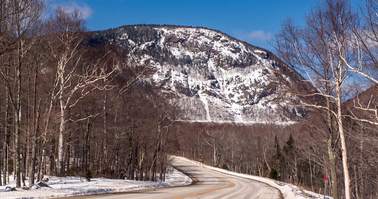
Mount Willard
Mount Willard is 2,865 feet, and about a mile and a half of easy walking up an old carriage road puts you on a broad open ledge looking straight down the U of Crawford Notch - the biggest view for the least work in these mountains. It is a genuine family hike and a classic first climb, which is exactly why the parking lot is jammed on clear foliage weekends. Here is the real 2026 version: the numbers, the Crawford Depot trailhead, the unfenced cliff at the top, the notch history spread out below you, and the winter and weather cautions that still apply to an easy mountain.
Read the guide →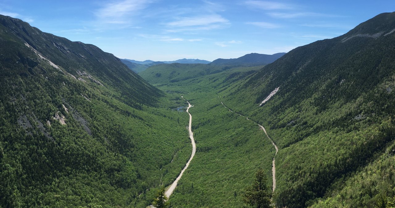
Mounts Tom, Field & Willey
The Willey Range gives you three of New Hampshire's forty-eight 4,000-footers - Mount Tom at 4,051 feet, Mount Field at 4,340, and Mount Willey at 4,285 - in a single loop of about 10 miles from the Crawford Depot. It is one of the more efficient peakbagging days in the Whites, but be clear-eyed: the three named summits are wooded and mostly viewless, the best outlook of the day is a sub-4,000 ledge you pass on the way up, and the trip out to Willey is where the day gets long. Here is the real 2026 version - the numbers, the junctions, the ladders, and why most people sensibly do Tom and Field only.
Read the guide →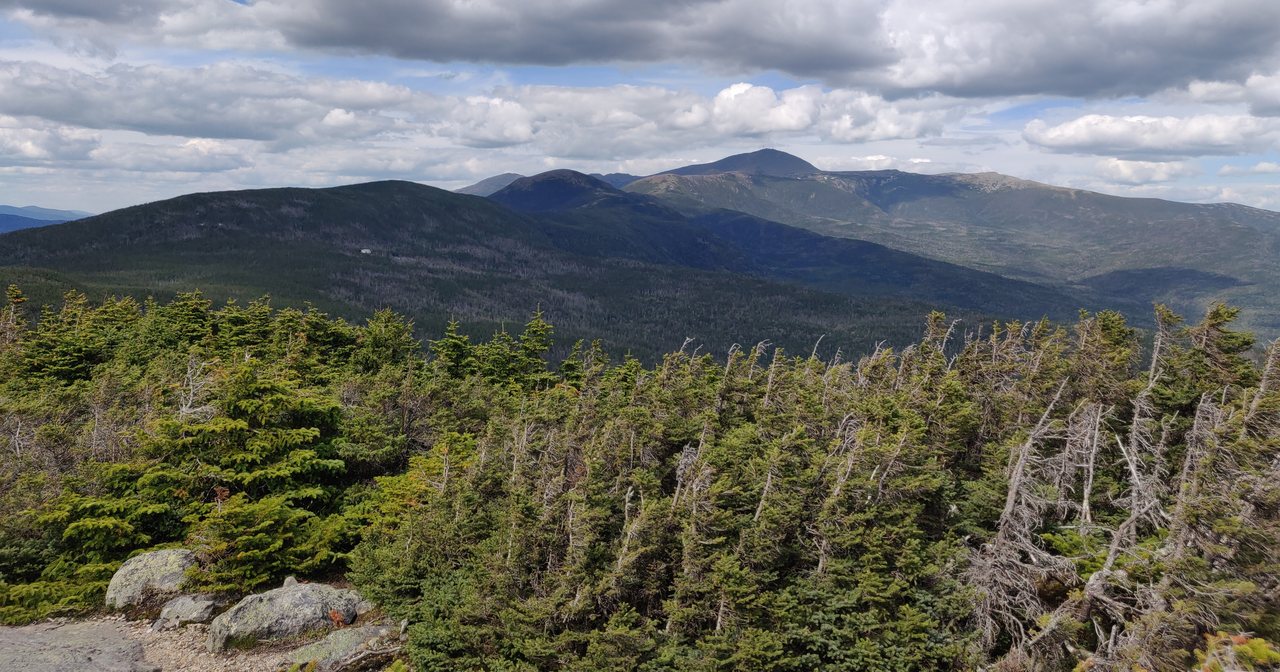
Mount Jackson
Mount Jackson is 4,052 feet, and the classic way up is a roughly 6.5-mile loop from the top of Crawford Notch that ties in Mount Webster's cliff-edge outlooks straight down into the notch. It is one of the most rewarding moderate 4,000-footers in the Whites, with a short bare-rock scramble on the summit cone and resident gray jays that will land on your hand. It is also a real Presidential-range peak with real Presidential weather, and this is the practical 2026 version of both.
Read the guide →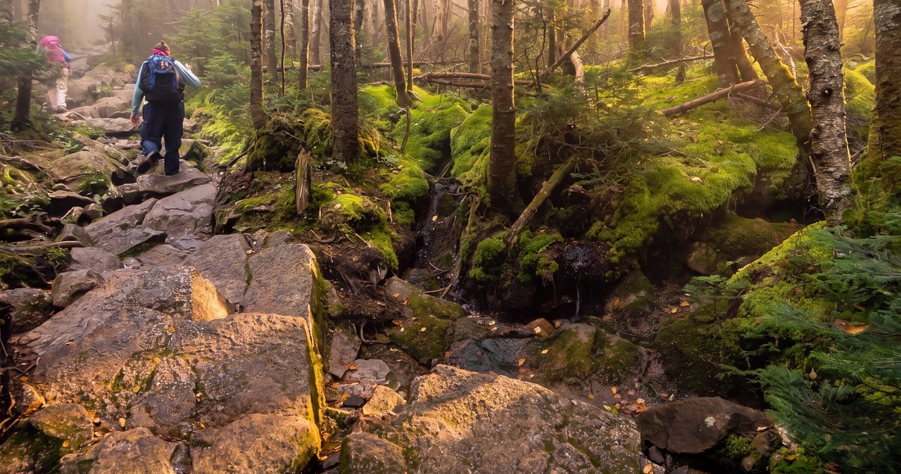
Mount Pierce
Mount Pierce is 4,310 feet, and about 6.2 miles round trip up the Crawford Path - cut in 1819 and reckoned the oldest continuously maintained footpath in the country - puts you on the first open, above-treeline summit of the Presidential Range. It is the easiest of the Presidential 4,000-footers and a genuine first big-mountain hike. It is also a real alpine top exposed to the full force of Mount Washington weather, and this guide gives you the real 2026 version of both.
Read the guide →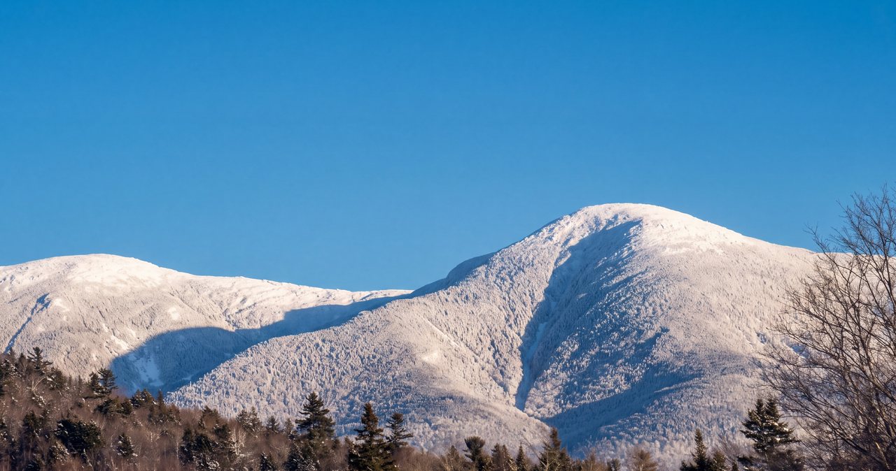
Mount Eisenhower
Mount Eisenhower is 4,780 feet, and about 6.6 miles round trip up the Edmands Path - a beautifully graded old footpath - puts you on a perfectly bald alpine dome in the middle of the Presidential Range. The walk up is one of the friendliest 4,000-foot climbs in the Whites. The summit is a fully exposed alpine top that gets the same weather as Mount Washington a few miles up the ridge, and this guide gives you the current 2026 version of both.
Read the guide →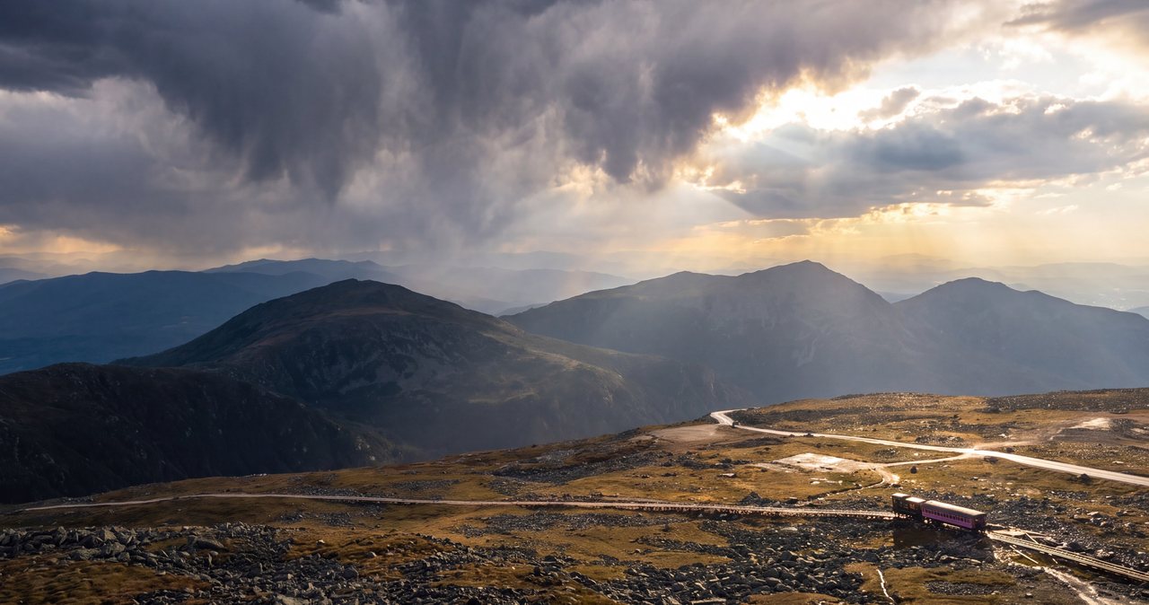
Mount Washington (on foot)
Mount Washington is 6,288 feet, the highest peak in the Northeast, and it holds some of the most violent weather ever measured on land. The route here is the west-side loop most experienced hikers consider the finest way up on foot without ropes - up the Ammonoosuc Ravine Trail to the Lakes of the Clouds Hut, up the Crawford Path to the summit, and down the gentler Jewell Trail, about 9.5 miles round trip. This is the most safety-forward page on our site, and it is that way on purpose.
Read the guide →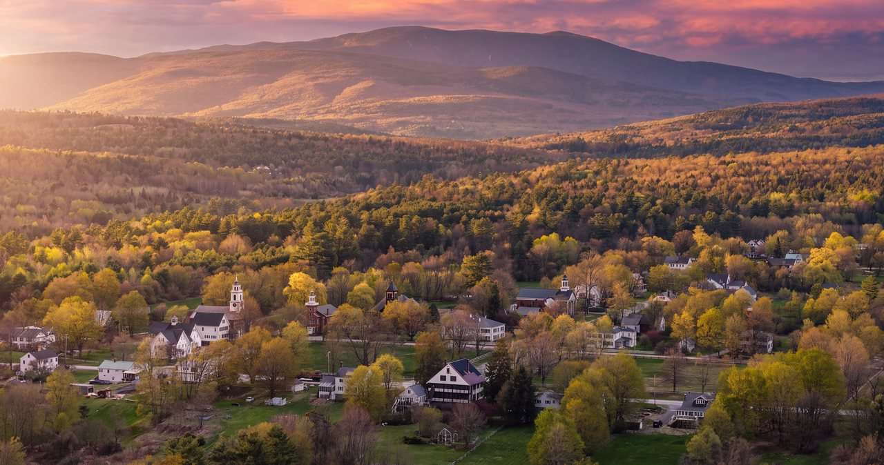
Mount Moosilauke
At 4,802 feet, Moosilauke is the tenth-highest of the White Mountain 4,000-footers and the one people are told is the gentle one. The standard climb, the Gorge Brook Trail from Dartmouth's Moosilauke Ravine Lodge, is about 7.4 miles round trip to a wide, treeless alpine summit with a full-circle view. It is a wonderful first big peak and a exposed one on top. Here is the 2026 version - the numbers, the free Dartmouth trailhead, the alpine-zone rules, and why you do not drop off the far side down Beaver Brook when the weather turns.
Read the guide →The Pemi Trail
Everyone knows the paved bike path through Franconia Notch. Almost no one knows that a soft, blue-blazed foot trail runs the same five and a half miles beside the young Pemigewasset River, through the woods, past the Basin, under the parkway and out at the Flume. It is nearly flat, it is empty on the busiest days of the year, and it can be walked in pieces from four different parking lots.
Read the guide →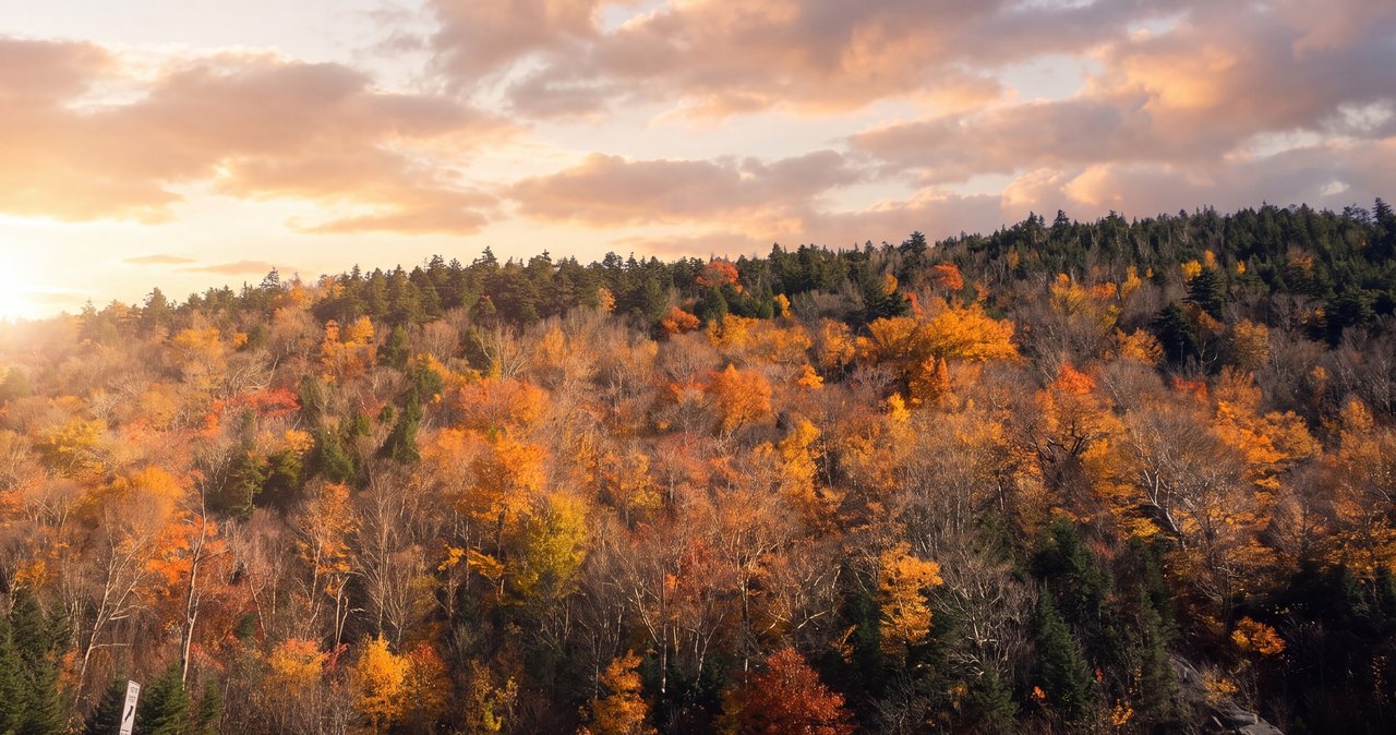
Agassiz Basin (Indian Leap)
On Route 112 just west of North Woodstock, Moosilauke Brook drops through a narrow gorge of polished granite potholes that a glacier's meltwater started carving twelve thousand years ago. It takes 15 min to see, it is free, and it is the closest natural sight to our door. Here is what it is, who it is named for, and why you look from the top.
Read the guide →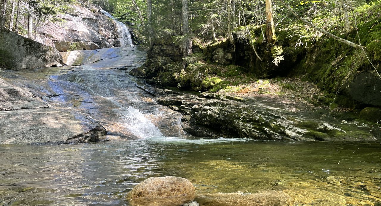
Bridal Veil Falls (Coppermine Trail)
The Coppermine Trail climbs gently for two and a half miles beside a brook on the quiet, western side of the Kinsman Range to one of the tallest waterfalls in Franconia. It is shaded, uncrowded, and it hides a bronze plaque that Bette Davis bolted to a boulder in memory of the man who kept finding her. The parking is the only tricky part.
Read the guide →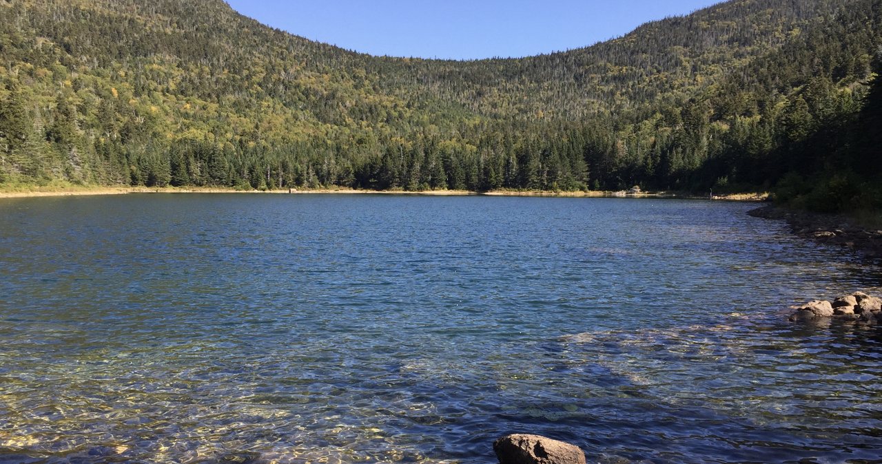
East Pond & Little East Pond
Off the gravel Tripoli Road behind Loon, an easy 1.4-mile walk reaches East Pond, a clear mountain tarn under the cliffs of Scar Ridge and Mount Osceola. Add Little East Pond and the connecting trail and it becomes a five-mile loop with almost nobody on it. This is the closest real pond hike to the lodge, and one of the least known.
Read the guide →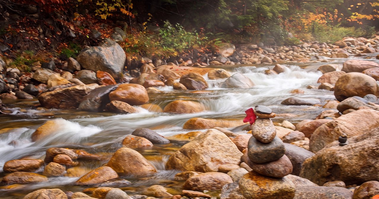
Greeley Ponds
The Greeley Ponds Trail climbs gently for a mile and a half from the Kancamagus Highway to a pair of ponds set in a notch between East Osceola and Mount Kancamagus, with old-growth spruce, cliffs on both sides and brook trout in the water. It is one of the easiest real destinations on the Kanc, and the trailhead is the same one Osceola hikers use, so go early.
Read the guide →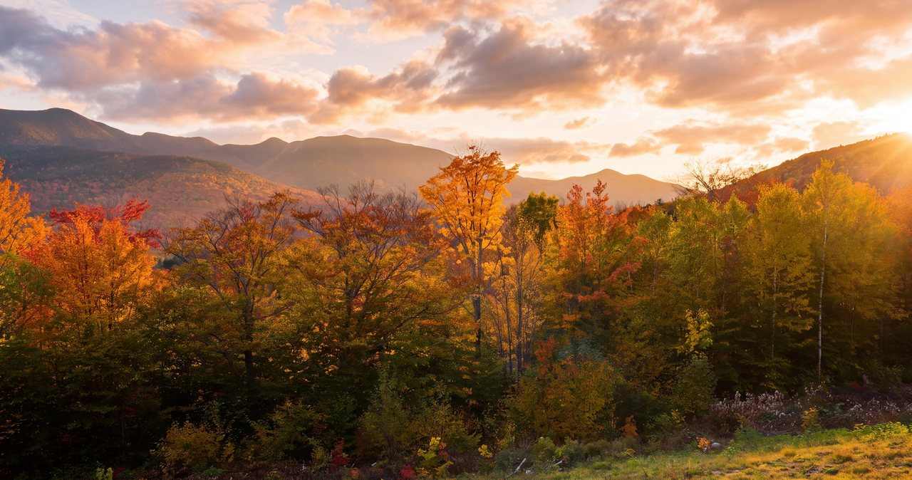
Boulder Loop Trail
Across the 1858 Albany Covered Bridge at the Conway end of the Kancamagus, the Boulder Loop climbs a thousand feet through a field of house-sized glacial boulders to open ledges with a long view over the Passaconaway Valley, then loops back down through the pines. It is the best short view hike on the eastern Kanc, and a self-guided geology lesson if you pick up the brochure.
Read the guide →Zealand Falls & Zealand Falls Hut
Two point eight miles up an old logging-railroad grade, past beaver ponds and bog bridges, to a waterfall with an AMC hut sitting beside it. It is the gentlest hut walk in the White Mountains, and the view down Zealand Notch from the hut steps is one of the best you will earn for 600 feet of climbing. Here is how to do it, in every season the road is open, and in the season it is not.
Read the guide →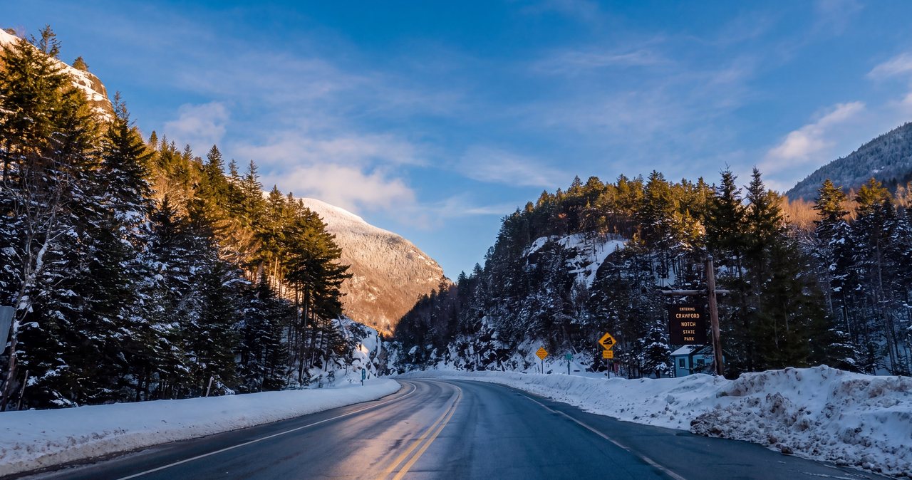
Elephant Head & Mount Avalon
Two hikes from the same corner of the notch. Elephant Head is a 0.3-mile walk to the rock that forms the gateway of Crawford Notch, with the best view in the White Mountains for the least effort. Mount Avalon, from the old railroad depot across the road, is a 3.7-mile climb past two cascades to a small, sharp summit that looks the notch full in the face. Do one before lunch and the other after.
Read the guide →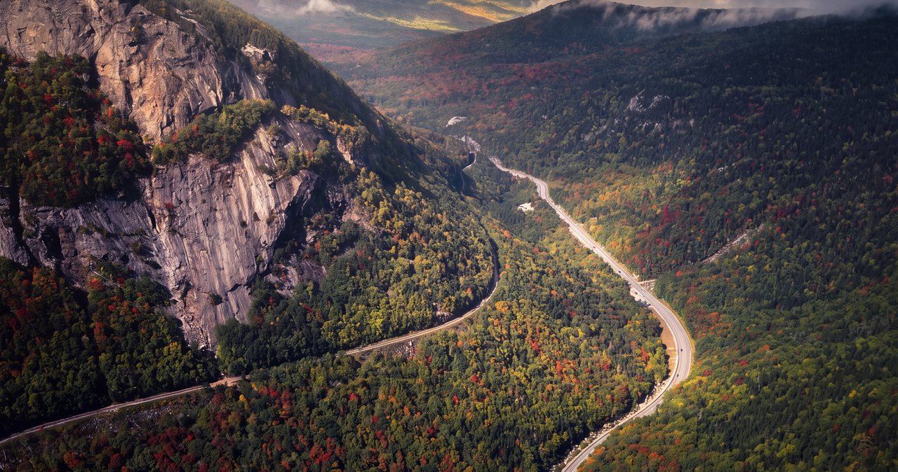
Mount Crawford
The Davis Path was cut in 1845 as a bridle path to Mount Washington. Its first two and a half miles now make one of the best half-day summit hikes in Crawford Notch: a suspension footbridge over the Saco, a steep climb, and a bald granite summit at 3,119 feet with the whole notch laid out below. It is harder than Willard and far quieter, and the view is bigger.
Read the guide →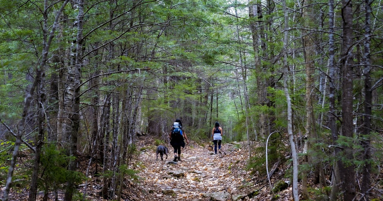
Nancy Cascades & Nancy Pond
The Nancy Pond Trail climbs two and a half miles from Route 302 below Crawford Notch to the foot of a waterfall that tumbles some three hundred feet in tiers through a forest that was never logged. Push on another steep mile and you reach two mountain ponds and a ledge that looks across the whole Pemigewasset Wilderness. It is one of the quietest waterfall hikes in the White Mountains.
Read the guide →Black Mountain (Benton)
West of Kinsman Notch, the Chippewa Trail climbs a mile and three-quarters to a 2,830-foot summit of bare ledge with the whole west face of Mount Moosilauke across the valley and the Connecticut River country rolling away to Vermont. It is one of the best views per mile in the western White Mountains, it is almost never crowded, and it starts beside a pair of stone lime kilns from the 1830s.
Read the guide →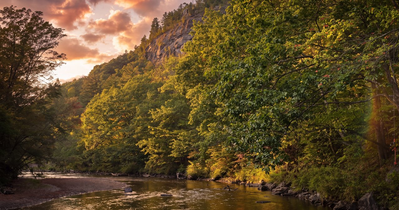
Stinson Mountain
South of the big peaks, Stinson Mountain rises 2,900 feet above Stinson Lake and the village of Rumney, and the trail up it is one of the gentlest summit climbs in the White Mountains. Fourteen hundred feet in 1.8 miles, a cleared top where a fire tower stood for forty years, and a look south over Plymouth to Mount Cardigan and west into Vermont. It is the right first mountain, or the right easy day.
Read the guide →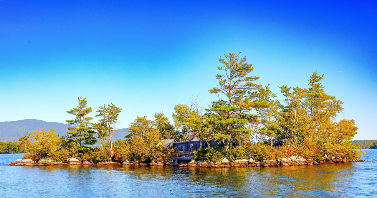
West Rattlesnake Mountain
The Old Bridle Path climbs less than a mile from Route 113 in Holderness to a set of open ledges that hang over Squam Lake, the lake where On Golden Pond was filmed. It is the easiest big view in the Lakes Region, 40 min south of the lodge, and the natural half day for a trip that mixes mountains with water.
Read the guide →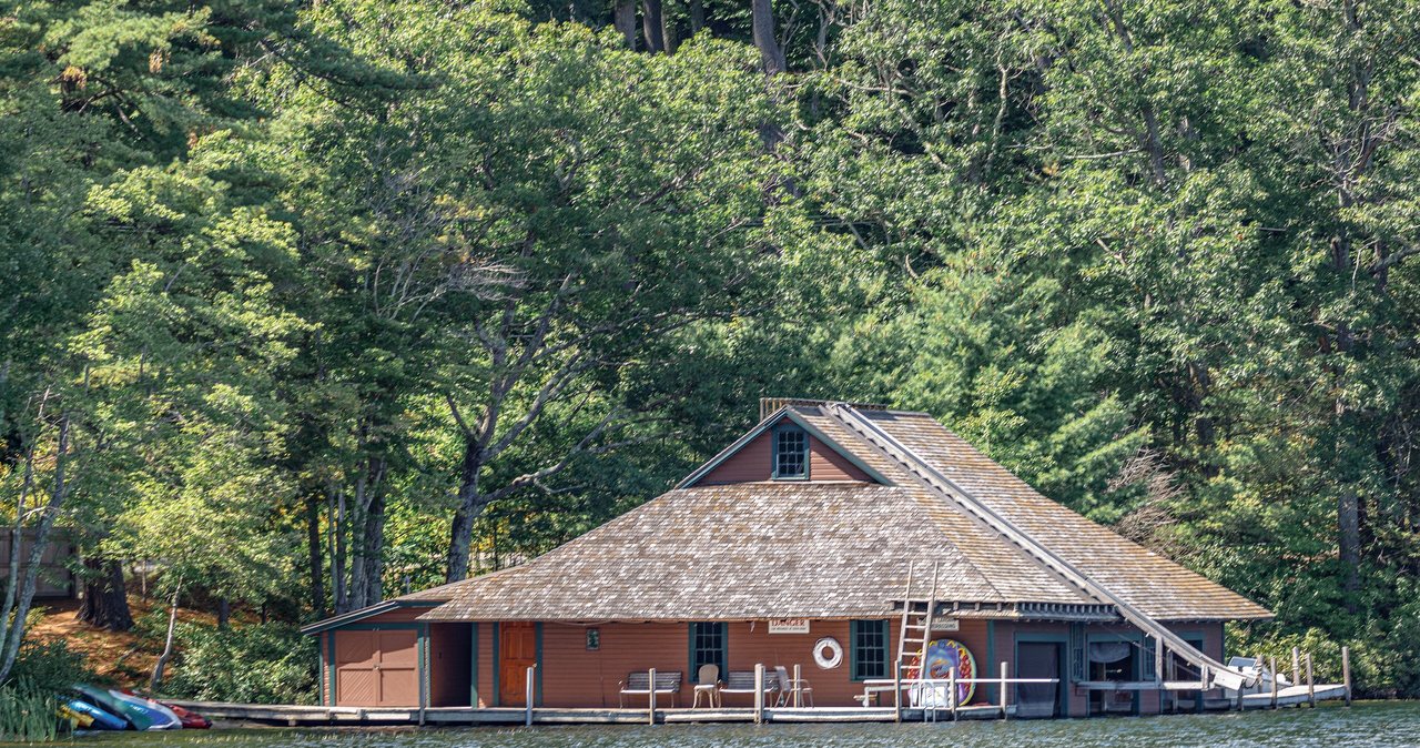
Mounts Morgan & Percival
A five-mile loop over the two best summits of the Squam Range, 40 min south of the lodge. Climb Mount Morgan by its ladders and cliff squeeze, walk the ridge to Mount Percival, and come down through a boulder cave, with Squam Lake spread out below the whole way. Every hard bit has a bypass, which is why this is the most fun a moderate hike gets in New Hampshire.
Read the guide →





Stay at the lodge
Six adults-only suites in the middle of Lincoln. An early start beats the parking every time.