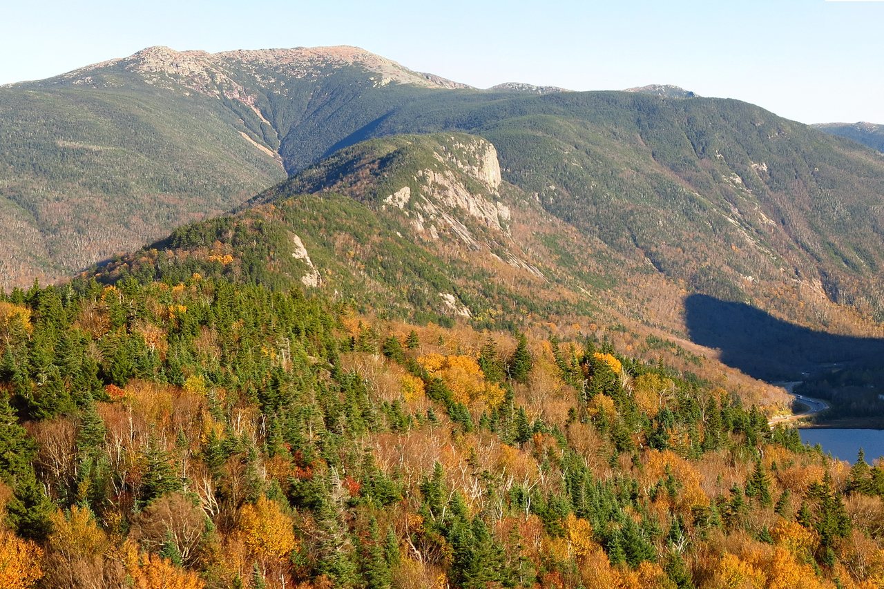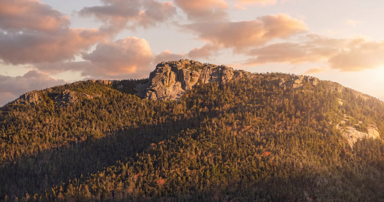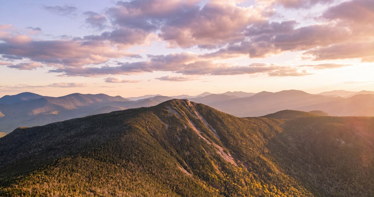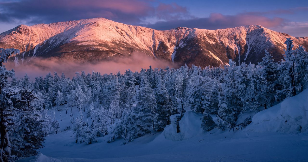
Mount Lincoln is 5,089 feet, the seventh-highest of New Hampshire's forty-eight 4,000-footers, and the middle summit of Franconia Ridge - the open crest between Little Haystack and Mount Lafayette that shows up on half the hiking calendars printed in New England. Here is the thing the calendars leave out: no trail goes to Mount Lincoln. Not one. Lafayette has the Old Bridle Path and the Greenleaf Trail. Little Haystack has the Falling Waters Trail. Lincoln has nothing that starts in a valley and ends on its summit. The only path that touches it is the Franconia Ridge Trail - which is also the Appalachian Trail here - running along the crest itself. To stand on Lincoln, you climb onto the ridge at one end or the other and walk to it.
That makes this a different kind of guide. Most people who summit Lincoln do it in passing, as the middle act of the famous 8.9-mile Franconia Ridge Loop - we wrote a separate full guide to that hike, and everything in it applies here. But you do not have to do the whole loop to stand on Lincoln, and on plenty of days you should not. This guide covers the peak on purpose: the loop, plus the two out-and-backs that reach it - up the Falling Waters Trail to Little Haystack and north along the crest, or up the Old Bridle Path over Lafayette and south. What each one costs, what each one protects you from, and which one fits which day. All three start from the same parking lot at Lafayette Place, 12 min up the parkway from the lodge.
One thing to settle before the trailhead, though, because it shapes every decision in this guide: the crest between Little Haystack and Lafayette runs 1.7 miles entirely above treeline, the heart of the biggest stretch of alpine ground in New Hampshire outside the Presidential Range, and Lincoln sits in the middle of it. Whichever way you come, standing on this summit means being farther from shelter than at any other point on the ridge. On a clear, calm day that is the whole attraction. In wind, cloud, or a building thunderstorm it is the whole problem. The mountain is not hard by the numbers. It is unforgiving by the geography, and the difference matters more here than on almost any other 4,000-footer you could walk to from our door.
A 5,000-footer with no trail of its own
Look at a map of the Franconia Range and Lincoln's situation is obvious. The ridge runs roughly north-south: Lafayette at 5,249 feet on the north end, then an unnamed-on-most-maps hump of about 5,000 feet that hikers informally call Mount Truman, then Lincoln at 5,089, then Little Haystack at about 4,780, and on south over Liberty and Flume. The west side drops steeply toward the Franconia Notch Parkway; the east side falls away into the roadless Pemigewasset Wilderness. Trail builders ran their paths up the reasonable lines to Lafayette and to Haystack, and the crest trail connects the dots. Lincoln, in the middle, never needed its own approach. It sits 0.7 miles along the crest from Little Haystack and 1.0 mile from Lafayette, and that crest walk is the price of admission from either direction.
This changes the character of the hike. A normal summit trail lets you bail at any point and lose only elevation. Lincoln makes you commit to open ridge first. From the moment you top out at Little Haystack or Lafayette, everything between you and Lincoln is above the trees: no shelter, no water, no shortcut down. The two trails that reach the ridge - Falling Waters at the Haystack end, Greenleaf at the Lafayette end - are also the only two maintained ways off it anywhere near Lincoln. Mid-ridge, your options are forward or back, and that is the entire safety story of this mountain in one sentence.
For all that, Lincoln is completely legitimate as a destination in its own right. It is an official 4,000-footer - number seven of the forty-eight by elevation - and the summit itself might be the best seat on the ridge. From Lincoln you see the whole crest in both directions: Lafayette's mass filling the view north, Haystack and the long southern ridge toward Liberty and Flume to the south, Cannon and the Kinsmans across the notch, and the huge green hole of the Pemi Wilderness at your feet to the east with the Bonds walling its far side. Lafayette gets the crowds because the trails end there. Lincoln gets the view of everything, including Lafayette.
The numbers
Three routes, three sets of numbers. The full Franconia Ridge Loop - up Falling Waters, north along the crest over Lincoln to Lafayette, down past Greenleaf Hut on the Old Bridle Path - is 8.9 miles by the AMC's segment math with about 3,900 feet of gain. GPS apps read it longer, commonly 9.2 to 9.4 miles with similar gain; nobody is lying, the devices count every wiggle. Most parties take 7 to 9 hours car to car with real breaks. Our Franconia Ridge Loop guide covers it turn by turn.
The shortest way to stand on Lincoln is the Falling Waters out-and-back: 3.2 miles up the Falling Waters Trail to Little Haystack, then 0.7 miles north on the crest to Lincoln's summit, and back the way you came. Call it 7.8 miles round trip. The gain is about 3,000 feet to Haystack plus the ups and downs of the crest, and you re-climb a little of Haystack on the return - figure about 3,500 feet total. The old AMC book formula puts it around five and a half hours; real parties with a long summit stop usually land between 6 and 8. This version minimizes mileage but does the steep, wet Falling Waters descent and its brook crossings twice.
The third option is the Old Bridle Path out-and-back over Lafayette: 2.9 miles to Greenleaf Hut, 1.1 miles up the Greenleaf Trail to Lafayette's summit, then 1.0 mile south along the crest, down over the Truman bump, to Lincoln. About 10 miles round trip, and the gain is the piece people miss: roughly 3,500 feet to Lafayette, then the ridge dips about 350 feet before Lincoln - elevation you pay back when you re-climb Lafayette on the way home. Figure 4,000 to 4,200 feet for the day, our estimate from the map segments rather than a published figure. That makes it the longest version on paper - and still, on certain days, the right call: it is the only route to Lincoln with a staffed building on it.
Difficulty, for all three: hard but not technical. There is no scrambling anywhere on these routes, nothing where your hands do more than balance, no ladders. The work is sustained climbing on rocky White Mountains footing, and the seriousness is concentrated in the open crest, where difficulty stops being about your legs and becomes entirely about the sky. A fit beginner can physically walk every step of this; what the routes demand is weather judgment, and that cannot be bought at the gear shop in Lincoln.
Which route fits which day
The loop is the fair-weather answer. If the higher-summits forecast shows light wind, summits in the clear, and no afternoon storm build, do the whole thing and take Lincoln as the middle course of the best three-summit meal in the state. On that day the loop is strictly better than either out-and-back: same trailhead, every mile new, and the crest walked end to end. Read our Franconia Ridge Loop guide, start early for parking, and this page becomes background material.
The Falling Waters out-and-back is the efficient answer, and the right one when your day has a deadline: an afternoon storm window, a late checkout, legs with one summit in them rather than three. You reach treeline at Haystack in 3.2 miles, look north along the crest, and make a practical decision with the summit of Lincoln in plain sight 0.7 miles away - one of the few places in the Whites where you can see essentially your entire remaining route, weather and all, before committing to it. If the ridge looks wrong, Haystack itself is a fine consolation, and you have lost nothing. The cost is doing the steepest trail in the neighborhood in both directions and crossing Dry Brook twice as many times, which after heavy rain can cancel this route entirely - more on that below.
The Old Bridle Path version is the margin-of-safety answer. It is crossing-free, so it works when rain has made Falling Waters a bad idea. It passes Greenleaf Hut twice, which from early June to mid-October means water, food, bathrooms, and a staffed porch at 4,220 feet on both your way in and your way out. And it fails gracefully: if the weather turns you around at the hut or on Lafayette, you have still had a great day on a great trail - our Mount Lafayette guide covers that exact hike, and everything it says about the Agonies, the hut, and the summit cone applies mile for mile here. The cost is Lafayette twice. You climb New Hampshire's sixth-highest peak, descend 350 feet, tag Lincoln, and then climb Lafayette again before you are allowed to go home. Strong hikers shrug at that. Tired ones curse it by name.
Parking at Lafayette Place: the part people get wrong
Every route to Lincoln starts at the same place, so the parking problem is universal. Lafayette Place, on the Franconia Notch Parkway, has two small lots: the trailhead lot on the northbound side - the side you arrive on from the lodge - where the Old Bridle Path and Falling Waters Trail leave from a shared kiosk, and a second lot across the highway at Lafayette Place Campground, reachable only from the southbound lanes, connected to the trailhead by a paved path through an underpass. Both are free in 2026; this is state park land, so you won't need the Forest Service's $5 parking pass here. Neither lot is big, and this is among the most heavily hiked trailheads in the eastern United States - the ridge sees up to a thousand hikers a day in peak season.
On clear summer and foliage weekends, both lots are routinely full before sunrise. Staying in Lincoln is the practical cheat: leave the lodge at 5:15 and you are standing in the lot at 5:30 while the Boston crowd is still an hour south. Midweek outside foliage season is a different, calmer world. When the lots do fill, do not improvise. Shoulder parking on the parkway is illegal at all times, ticketed and towed, and walking an interstate shoulder in the dark is worse than anything the mountain will do to you.
The sanctioned overflow is the big lot at Cannon Mountain's tramway base at Exit 34B, one exit north, where a hiker shuttle runs Saturdays, Sundays, and holidays from May 23 through October 18, 2026, 8 a.m. to 7 p.m., $5 per person round trip, cash or card, dogs free - it stops at both Lafayette Place lots, and you keep your ticket for the ride back. One note so nobody plans around a ghost: the Cannon aerial tramway itself shut down October 26, 2025 for a multi-year replacement - the lot and shuttle are running, the lift is not, and no lift goes anywhere near Franconia Ridge anyway. On a July or foliage Saturday, the plain options are exactly three: be parked before 6, ride the shuttle, or come back midweek.
Reaching the ridge from the south: the Falling Waters Trail
From the kiosk at Lafayette Place, the two trails leave together; 0.2 miles in, the Falling Waters Trail splits right and crosses Walker Brook, and the work starts. This trail earns its name in the first mile and a half: it climbs beside Dry Brook past a series of named waterfalls - Stairs Falls, Swiftwater Falls, then Cloudland Falls, the biggest of them - crossing the brook repeatedly as it goes. Most people count five or six crossings counting the Walker Brook one, none of them bridged. In normal summer flow they are easy rock-hops; after heavy rain or during snowmelt they are a different story, told in full below.
Above the falls the trail stops being scenic and starts being work: steep, rocky, and relentless through spruce, gaining its 3,000 feet in a hurry. Near the top, a short side path leads to Shining Rock, an enormous slab of wet granite you will have seen glinting from the highway. Walk over and look; do not climb it. The slab runs with water, people in hiking shoes get stuck on it regularly, and the view improves a few hundred feet higher anyway. Not far above, the trees shrink to scrub and you pop out at the summit of Little Haystack, about 4,780 feet, at the junction with the Franconia Ridge Trail. The transition is abrupt in the best way - green tunnel to open sky in a couple of minutes.
Haystack is your decision point, and it is a generous one. The crest to Lincoln runs north in full view: 0.7 miles of open walking, about 300 feet of net climb, cairns and low scree walls marking the line, usually a string of hikers along it. You can read the wind by watching how they walk. If people are leaning and clutching hats, the summit of Lincoln will be twice that. If the crest is socked in and you cannot see the next cairn from the junction, the answer is no - not with a ridge this committing, not when it will still be here Thursday. And if it looks good, go; 20 min of the most scenic walking in New England puts you on top. Just mark the Falling Waters junction in your memory or your GPS as you leave it. It is signed, but in fog from the north it is the exit you must not miss.
Reaching the ridge from the north: over Lafayette
The northern approach uses the Old Bridle Path and Greenleaf Trail - the most heavily built and forgiving climbing route in the notch, mid-rebuild by professional trail crews and better-footed every season. We wrote a full guide to it as a Lafayette out-and-back; the short version is 2.9 miles to Greenleaf Hut through the ledgy, view-rich climbing of Agony Ridge, then 1.1 miles up the open summit cone to Lafayette at 5,249 feet. The hut matters to a Lincoln hiker for a specific reason: it is the only reliable water and the only staffed building on any route in this guide, full service June 4 to October 17, 2026, with day sales 10 a.m. to 5 p.m. Fill bottles both directions; nothing beyond it will help you.
From Lafayette's summit, Lincoln is 1.0 mile south on the Franconia Ridge Trail, and this stretch is why strong hikers love the northern approach: down Lafayette's south shoulder, over the Truman bump, and up to Lincoln's narrow crown, all of it above the trees with the Pemi on your left and the notch on your right. You give back about 350 feet on the way south. On the return, that 350 feet is a real climb at the end of a real day, finishing on Lafayette's summit for the second time - check your water and your daylight against it before you leave Lafayette the first time, because between here and Lincoln there is nothing but rock and view.
One navigation note that earns its keep in cloud: Lafayette's summit is a three-way junction, and leaving it southbound for Lincoln is a different line than the one you arrived on. The Greenleaf Trail comes up from the west; the Garfield Ridge Trail leaves north; the Franconia Ridge Trail runs south. In clear weather this is trivia. In fog, descending hikers have followed the wrong set of cairns off this summit in every direction it offers. When you top out, note your arrival line or drop a GPS point, and when you come back through, take the thirty seconds to confirm you are stepping onto Greenleaf and not walking a second lap toward Garfield.
The crest itself, and the knife-edge question
People hear about the middle of Franconia Ridge and picture Katahdin's Knife Edge - hands on rock, air on both sides. That is not this. The Franconia Ridge Trail along this stretch is a built footpath on the crest of the ridge: narrow in places, never hands-on, with cairns, stone steps, and low scree walls marking the line. The drops are real - the west side falls steeply toward the notch, the east side breaks away into ravines above the Pemi - but you walk beside them, not on them, and there is no point where a stumble means a fall rather than a scraped knee. As a piece of walking, on a calm day, it is simply the best there is around here.
The exposure that matters is to weather, not to gravity, and it deserves the respect people mistakenly give the drops. For the full 1.7 miles between Little Haystack and Lafayette - and a bit more counting the open approaches at either end - there is no shelter of any kind: no trees, no boulders big enough to matter, no building, no water. Wind that is a nuisance at the trailhead arrives here with nothing to slow it down, and the ridge runs broadside to the prevailing northwest flow. Rain at 45 degrees with wind on an exposed crest can chill you fast, even in July. The crest is only narrow enough to feel airy in stretches, but it is exposed to the sky for every single step - that is the calculation the pretty photographs never show.
Two practical crest habits. First, stay inside the scree walls and on the rock, always, even for photos - the tundra plants up here handle the toughest winters in the East but not a season of boot traffic, and the restoration partnership rebuilding this loop since 2022 spends a real share of its labor repairing shortcuts. The walls are not decorative; they are the trail telling you where it is. Second, manage your layers at the treeline, not on the crest. The junction at Haystack and the summit of Lafayette are the last places with any wind shadow at all. Put the shell on there. Fishing it out of your pack mid-ridge with cold hands in 35-mile-an-hour wind is a skill nobody enjoys learning.
Standing on Lincoln: how the middle peak differs from its neighbors
Each of the three summits has a personality, and Lincoln's is defined by what it lacks. Little Haystack is an arrival platform: the top of a trail, a junction sign, people sitting in the scrub eating sandwiches and deciding. Lafayette is a broad rocky crown with a crowd, a three-way junction, and the stone foundation of a nineteenth-century summit house for a windbreak. Lincoln has none of it - no junction, no sign, no foundation, no flat spot to speak of. The summit is a modest point of broken rock where the crest simply gets no higher, barely wider than the trail that crosses it. On a calm day that austerity is the charm: you are standing on the spine itself, nothing man-made in reach, with the ridge falling away in both directions.
The view is arguably the best on the ridge precisely because Lincoln is in the middle. From Lafayette you see the ridge going away from you; from Lincoln you see the whole thing at once - Lafayette filling the north with the Truman bump in front of it, Haystack and the darkening line of Liberty and Flume to the south. West, the notch: Cannon's cliff, the Kinsmans, Lonesome Lake on its shelf. East, the Pemigewasset Wilderness, thousands of roadless acres, with Owl's Head in its trench and Bondcliff, Bond, and the Twins beyond, and on a clear day Mount Washington over their shoulders. It is a 360-degree explanation of how this corner of the state fits together.
Plan your summit stop with Lincoln's austerity in mind. There is no wind shadow, so on a breezy day take the photos, turn the circle, and do your sitting at Haystack or the hut instead. And know that the actual highest rock is an unceremonious spot your group will walk past if nobody is watching the contours; in cloud, peak-baggers have tagged the Truman bump and called it Lincoln. If the summit matters to your list, watch the map.
The forecast that matters, and how to read it for a ridge
The forecast for the town of Lincoln is a forecast for a valley 3,300 feet below the ridge, and on this hike it is close to useless. The one that matters is the Mount Washington Observatory's Higher Summits Forecast at mountwashington.org, written by meteorologists who live in this weather and published twice daily. It covers all the high summits of the Whites, Franconia Ridge included, in the units that decide your day: summit temperatures, sustained wind and gusts, and whether the summits will be in the clear. Read it the night before to pick your route, and again in the morning to keep or fold. Figure the crest runs 15 to 25 degrees colder than town before wind, and let the wind numbers govern.
Translate them for this specific ridge, which punishes wind more than a summit cone does because you cannot duck it. Sustained wind to 30 mph: workable for most adults with a shell, hat, and gloves, though conversation gets loud. Sustained 40 with higher gusts: hard walking on a crest, staggering at the gusts, and the day to go no farther than a look from Haystack, or to stay below the trees entirely. Sustained 50-plus: not a hiking day on Franconia Ridge, whatever the sunshine looks like from the parking lot. And treat summits in the clouds as a day to save Lincoln for later: this mountain is best when you can see your route and your two exits, and in fog the ridge becomes cairn-to-cairn navigation with a wet wind chill, the same setup behind the hypothermia rescues on this range in every month of the year.
Thunderstorms are the sharpest edge because the geography is so bad: a 1.7-mile crest, no descent options between its ends, and you at the midpoint. From Lincoln's summit, the fastest way below treeline is usually back over Little Haystack and down Falling Waters - call it 20 to 30 min of hard moving before the trees take you in - or over Truman to Lafayette and down to the scrub above the hut, which is longer. Neither is fast enough to outrun a storm you can already hear. So on days with afternoon convection in the forecast, the arithmetic is non-negotiable: be walking off the crest by early afternoon, earlier if the Observatory says so, and treat the first distant rumble as the end of the ridge portion of your day, immediately, from wherever you are standing. The Whites do not grade on intent. They grade on position.
A 2026 status note while we are on conditions: every route in this guide is open - the Falling Waters Trail, the Old Bridle Path, the Greenleaf Trail, and the ridge itself, with restoration crews working on weekdays. The one big closure in this corner of the forest this year, the Lincoln Woods Trail across the range, shut from June into November 2026 for riverbank repairs, affects Pemi-side trips and does not touch Franconia Notch. Conditions change faster than guides do, so check the White Mountain National Forest alerts page and a recent trail report before you commit, especially in spring and late fall.
Water, the Dry Brook crossings, and the day after rain
Start with the blunt fact: there is no water on Franconia Ridge. None between the top of the Falling Waters Trail and the summit of Lafayette, nothing at Lincoln, nothing you should drink without treatment anywhere near the crest. What you carry past treeline is your ration for the whole exposed stretch, and the ridge in full sun dehydrates people fast - there is no shade either. Carry 2 to 3 liters from the car on any route. On the northern approach you can refill at Greenleaf Hut during the staffed season, which is a real advantage; on the Falling Waters route, the brook is the last water and you should treat it if you use it.
Now the crossings. The Falling Waters Trail crosses Walker Brook once and Dry Brook repeatedly in its lower mile and a half - five or six crossings by most counts, none bridged, all trivial in a dry August and all transformed by water. Dry Brook drains steep rock, it rises fast during rain and spring snowmelt, and what was a rock-hop at 8 a.m. can be a thigh-deep push by late afternoon on a warm June day as the high snowfields let go. People turn around at these crossings every spring, and they are right to: a fall in fast, cold water above a waterfall - and these crossings sit above and between waterfalls - is one of the lethal scenarios in the Whites, less famous than summit weather and just as final.
The judgment rules are simple. If water is moving over the tops of the stepping stones and pushing white around them, do not cross - and assume that the same water will likely be higher when you come back down. If you are hiking the day after heavy rain or during melt, take the Old Bridle Path route to Lincoln instead; it has no crossings at all, which is exactly why we keep calling the longest route the safest one. And if you are set on the loop in a wet week, run it counterclockwise as usual - up Falling Waters - so you meet the crossings at the start of the day, at their lowest, with the option to flip your plan at a cost of nothing but 10 min of walking back to the kiosk.
Winter and the shoulder seasons
Lincoln in winter is a serious alpine objective. The ridge holds Presidential-grade wind over hard-frozen snow and rime, the crossings on Falling Waters become ice architecture, and the exposure that reads as glorious openness in July reads as commitment in January. Parties do it every winter week, and the ones doing it well carry snowshoes for the drifted approach trails, full crampons for the wind-packed crest and the icy steeps - microspikes are a trail tool, not an above-treeline tool, and the stretch above Greenleaf Hut or the upper Falling Waters is where that distinction stops being pedantic - plus goggles, full face coverage, and layers rated for wind chills that routinely read like the Arctic. The hut is locked all winter and the AMC is explicit that it is not an emergency shelter. There is no refuge on any route from the hut's close in mid-October until it reopens in May.
Two winter-specific traps on this mountain. First, the broken track lies: this ridge is popular enough that you will usually find a packed trench to follow, but it ends wherever the last party turned around, and above treeline the wind erases it in minutes - the cairns and your own navigation are the plan, not the footprints. Second, the loop's commitment doubles in winter because the days are short and the walking is slow; a party that summits Lincoln at 2 p.m. in December is finishing in the dark by arithmetic, not bad luck. Winter Lincoln by the Falling Waters out-and-back, turning at Haystack if conditions argue, is the version with margins. The full winter loop is for people who already know they can do it.
The shoulder seasons fool more hikers than winter does, because the trailhead lies about the ridge. In May and June the lot is green and buggy while the crest still carries old snow and the brook runs at full melt - the season of pushy crossings and postholing. In October, a brown, mild trailhead regularly sits under a ridge glazed in rime from a cold front nobody in the valley noticed, and after the hut closes on October 17 the northern route loses its safety net. From roughly Columbus Day to Memorial Day, carry traction at minimum and read the higher-summits forecast as a winter forecast. The calendar is a valley document. At 5,089 feet it has no authority.
Peak-bagger fine print: why Lincoln counts and Haystack does not
If you are working the New Hampshire 48, Lincoln is number seven by elevation and non-negotiable, and the ridge geometry produces the list's most famous asterisk right next door. Little Haystack, at about 4,780 feet, is comfortably over 4,000 and has its own name, its own trail, and its own summit feel - and it is not on the list, because the AMC's rule requires a peak to rise at least 200 feet above the col connecting it to a higher neighbor, and Haystack rises less than that above its col with Lincoln. So the Falling Waters routes hand you a summit-shaped non-summit on the way. Meanwhile Lincoln itself sits close to the same line, at just 169 feet of prominence above its col with Lafayette, but Lincoln has been on the official list since the club drew it up in 1957, and the list is the list. Peak-bagging runs on rules, not fairness.
The practical consequences are cheerful ones. Because Lincoln and Lafayette are about a mile apart, almost everyone bags them as a pair - the loop is the classic two-for-one on the entire list, and even the Old Bridle Path out-and-back to Lincoln collects Lafayette twice for the price of one entry. The Truman bump between them, about 5,000 feet and unnamed on most maps, counts for nothing on any list but makes good trivia at the top. And if you are moving through in August, you will likely share the crest with Appalachian Trail thru-hikers 1,800 miles into their walk from Georgia, for whom your whole day is an hour of their afternoon.
South of Haystack, the ridge continues to Liberty and Flume - both on the list, usually climbed as their own loop from the Flume Gorge side. Strong parties do traverse the whole range in a day, but that is a car-spot logistics project and a weather bet twice the size of anything in this guide. For a normal, excellent season: the loop for Lincoln and Lafayette, a second day for Liberty and Flume, and you have cleared every 4,000-footer on the wall of the notch with two good hikes from town.
Turnaround judgment on a ridge with two exits
Most turnaround advice assumes turning around is always available at even cost. On Lincoln it is not, quite: once you are mid-crest, both directions involve open ridge, and the whole discipline is to make your decisions at the places where the mountain still offers you a cheap exit. There are exactly two - the Falling Waters junction at Little Haystack and the summit of Lafayette above the Greenleaf Trail - and the rule that keeps people out of trouble here is to treat them like doors. You do not walk through either door unless you can see the weather on the far side of the ridge and you like it, and you plan to be back through a door before the sky, the clock, or your legs change the terms.
Say your rules out loud in the parking lot; they cost nothing there and everything later. A time rule, worked backward from dark, remembering that from Lincoln's summit you are 2 to 3 hours from the car by the short route and longer over Lafayette. A visibility rule: if you cannot see the next cairn, you do not walk toward where you think it is, and if cloud is on the crest before you reach it, the summit keeps. A thunder rule: first rumble ends the ridge, from wherever you stand, immediately. A wind rule, set with the morning's Observatory numbers rather than negotiated with the gusts at Haystack. And a group rule: anyone can call the turn, nobody argues, and the party stays together - the worst outcomes on this range disproportionately involve groups that split up, fast people ahead, cold people behind, nobody with a whole picture.
Two New Hampshire specifics belong in the same pocket as those rules. First, New Hampshire can bill a hiker Fish and Game judges negligent for the cost of a rescue under RSA 206:26-bb. The voluntary hikeSafe card - $25 per person or $35 per family for 2026, sold online through NH Fish and Game - waives that cost short of recklessness and funds the search and rescue work itself, which makes it a smart purchase the night before a ridge like this. Second, leave your route and your worry-time with a person, not a windshield note; cell service out here is not dependable. We ask our hiking guests to do exactly this, and we mean it: someone at home who knows you went for Lincoln by Falling Waters and expected to be out by 5 is worth more than anything in your pack. Turning around costs a view. The mountain is 16 min from our porch, and it does not expire.
Safety & conditions
- Check the Mount Washington Observatory Higher Summits Forecast (mountwashington.org, issued twice daily) the night before and the morning of. It covers Franconia Ridge, and it is the only forecast that speaks for the crest - figure 15 to 25 degrees colder than Lincoln before wind chill, and treat summits-in-the-clouds as a no-go for this peak specifically, because Lincoln's safety case depends on seeing your route and your exits.
- The ridge has exactly two maintained exits near Lincoln: the Falling Waters Trail at Little Haystack and the Greenleaf Trail at Lafayette. Between them - 1.7 miles, all above treeline - there is no shelter, no water, and no way down. Treat Haystack and Lafayette as decision doors: do not pass either one unless you can see the crest weather and like it, and plan to be back through a door before conditions change.
- Wind rules for an exposed crest: sustained 30 mph is workable with shell, hat, and gloves; sustained 40 with gusts staggers adults and is the day to stop at Haystack or stay below the trees; sustained 50-plus is not a hiking day on Franconia Ridge regardless of sunshine. Set your number from the morning forecast in the parking lot, not in negotiation with the gusts on the ridge.
- Thunderstorms: from Lincoln's summit the fastest shelter is usually back over Little Haystack and down Falling Waters - 20 to 30 min of hard moving - and nothing on the crest protects you. On days with afternoon storms forecast, be off the ridge by early afternoon, and treat the first rumble as the immediate end of the ridge portion of your day, from wherever you are standing.
- In fog, the two junctions are where people go wrong: southbound hikers miss the Falling Waters exit at Haystack, and Lafayette's three-way summit junction sends descending hikers toward Garfield Ridge by mistake. Mark both junctions by GPS or memory as you pass, and never move above treeline without sight of the next cairn.
- The Dry Brook crossings on the Falling Waters Trail - five or six of them, unbridged - rise fast in rain and snowmelt and sit above and between waterfalls. If water is pushing white over the stepping stones, do not cross, and assume it will be higher on your return. After heavy rain, route to Lincoln via the Old Bridle Path instead; it has no crossings.
- Carry 2 to 3 liters of water per person; the ridge has none and no shade. Refill at Greenleaf Hut on the northern route during the staffed season (June 4-October 17, 2026). Summer hypothermia - wind plus fog plus wet clothing above treeline - happens in the Whites even in July and August, so carry a wind and rain shell, a warm non-cotton layer, hat, and gloves on every attempt, all season.
- From mid-October to Memorial Day, treat every trip as a winter trip: full crampons and snowshoes (microspikes are not an above-treeline tool), goggles and face coverage, and no refuge anywhere - Greenleaf Hut is locked outside its season and the AMC is explicit that it is not an emergency shelter. The broken track above treeline ends wherever the last party quit, and wind erases it in minutes; navigate by cairns and your own tools, not footprints.
- New Hampshire can bill negligent hikers for rescue costs under RSA 206:26-bb. Buy the voluntary hikeSafe card from NH Fish and Game ($25 individual, $35 family for 2026) - it removes that liability short of recklessness and funds the search and rescue teams themselves. Leave your route and return time with a person who will notice you missing; cell coverage in the notch and on the ridge is too patchy to be the plan.
Where to stay for it
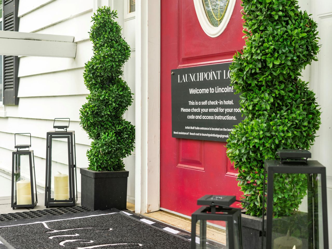
You will sleep in Lincoln and climb Lincoln, and the commute between them is about as easy as mountain access gets: from 191 Pollard Road you are on Main Street inside a minute, onto I-93 North at Exit 32 a minute later, and the interstate narrows into the two-lane Franconia Notch Parkway almost immediately. Past the Flume Gorge exit and the Basin pull-offs, the Lafayette Place trailhead parking appears on the right about 9 miles and 12 min from our door - a signed pull-off directly from the parkway, no exit number. If you reach Exit 34B and the big Cannon tramway lot, you have overshot it - though on a busy Saturday the tramway lot is exactly where the hiker shuttle wants you anyway.
Provision in town, because there is nothing for sale at the trailhead and nothing on the ridge. The Price Chopper plaza and the gas stations on Main Street are the last stop for sandwiches, extra water, and fuel - hit them the evening before if you are chasing a pre-dawn parking spot. Download your maps before you leave the driveway, since cell service in the notch is patchy, and leave your route and your out-time with someone at home.
Sources & official info: outdoors.org · cannonmt.com · cannonmt.com · mountwashington.org
— Launchpoint Lodge, From the lodge