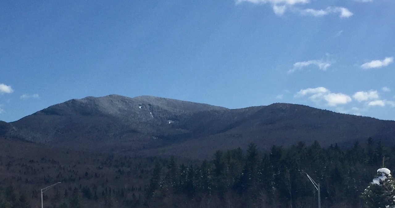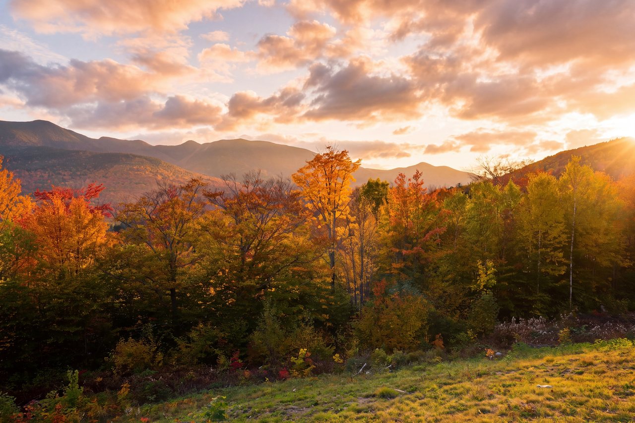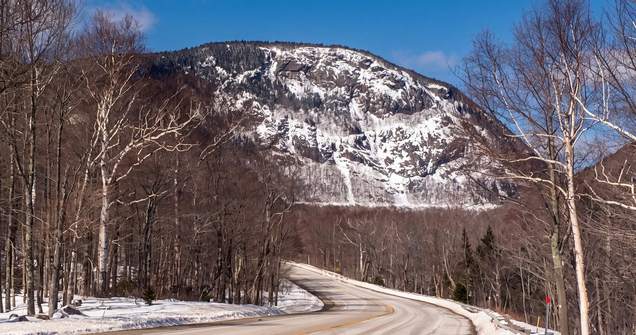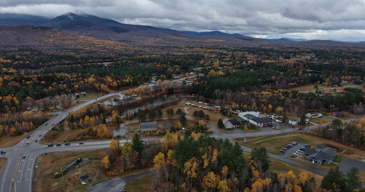
North Twin and South Twin are two of New Hampshire's forty-eight four-thousand-footers, and they stand next to each other at the north end of the Twin Range, about a mile and a third apart on the same high ridge. South Twin is the taller of the pair at 4,902 feet and the reason most people make the trip: its summit is open, rocky, and one of the great full-circle views in the White Mountains. North Twin, at 4,761 feet, is the quieter neighbor - its true high point is wooded, but there is a fine outlook near the top, and since the two summits sit so close together, the standard play is to bag both in one long day. The usual route is the North Twin Trail up the valley of the Little River, out and back over both peaks, and it comes to about eleven miles round trip.
On this hike, the part to plan around is the front door, not the summits. The North Twin Trail crosses the Little River three times in its first two miles, and there are no bridges. In the low water of a dry summer those crossings are ordinary rock-hops that most people barely remember afterward. After heavy rain, during spring snowmelt, or when a thunderstorm has dumped upstream, the same crossings run fast and cold, which makes reading the river the most important call of the day. There is also an unofficial herd path along the east bank that lets you skip the first two crossings, and we will tell you squarely what it is and is not. On this route, what the river has been doing for the last few days matters as much as tomorrow's forecast.
We are about 40 min from the trailhead here at the lodge, north through Franconia Notch and up US Route 3, and this is the version we would share with a guest before they left. It is a strenuous day - eleven miles, roughly three thousand feet or more of climbing, a steep upper pitch, and an open, exposed summit on South Twin - and it is not the hike for your first big day in the Whites. But on a clear day with the river low, it is one of the best value summit outings in the range: two four-thousand-footers, a pleasant ridge walk between them, and a view from South Twin that pays back every mile.
The case for the Twins
Let us be plain about why people climb these two together. South Twin is the draw. Its summit is open and rocky - trees grow close around it, but the top itself is bare enough to give you a nearly full circle of the White Mountains, and it is regularly named among the finest summit views in the range. From up there on a clear day you look straight across at Franconia Ridge, down over the Pemigewasset Wilderness and the Bonds, and east to Mount Washington and the Presidentials. It is the payoff, and it is a big one.
North Twin is the quieter half of the pair, and we will be practical about it: the true summit is a wooded high point without a wraparound view. What it does have is a good outlook a short step from the top - a ledge that looks north and west over the village of Twin Mountain toward the Franconia Range and the northern Presidentials, and on a clear day it is worth the stop. Because the two peaks sit only about a mile and a third apart on the connecting ridge, almost everyone who comes up the North Twin Trail tags North Twin, walks the ridge to South Twin for the big view, and comes back over North Twin on the way out. You get two four-thousand-footers for one long day.
Here is who this hike is for. It is a strenuous outing - about eleven miles, roughly three thousand feet or more of climbing, three unbridged river crossings, and a steep, rooty upper pitch - with an open, exposed summit at the far end. It rewards a hiker who already has a few solid mountain days in their legs and who watches the weather and the water squarely. It is a poor pick for a first big Whites hike, and a worse one on a day when the river is high. Get a clear, low-water day, start early, and it is one of the most satisfying summit days you can have around here.
The numbers
The standard hike comes in two pieces. From the trailhead at the end of Haystack Road you climb the North Twin Trail about 4.2 miles to the summit of North Twin - you will see 4.2 and 4.3 miles both quoted, close enough that it does not change your day. From North Twin you follow the North Twin Spur about 1.3 miles south along the ridge to South Twin, then turn around and retrace the whole thing. Out and back over both peaks works out to about eleven miles. If you only want North Twin, it is roughly 8.6 miles round trip; if you only want South Twin, there is no shorter way to it from this side than going over North Twin first.
The elevation gain takes a little explaining, because the ridge between the peaks adds to the math. The trailhead sits low in the Little River valley, and the climb to North Twin runs on the order of three thousand feet. Getting to South Twin means dropping off North Twin into the col and climbing back up, and then re-climbing toward North Twin on the way home, so the total gain counted over the full round trip for both peaks runs higher - figure roughly 3,300 feet, and you will see some maps count closer to 3,600 depending on how they tally the ups and downs. For the exact number your map uses, check the current AMC White Mountain Guide, and treat any single figure as a close approximation.
The summit elevations are the clean numbers. South Twin is 4,902 feet, with a healthy 1,522 feet of prominence - it is a real peak, the high point of the Twin Range, not a bump on a ridge. North Twin is 4,761 feet; you will occasionally see 4,760, and the difference is meaningless on the ground. Carry those two figures and know that South Twin is both the taller peak and the one with the view.
For timing, plan a full day. Most fit parties are looking at roughly seven to nine hours car to car for the pair, including the crossings, the steep upper climb, and time on the summits. Strong hikers move faster; a careful group, a first big day, or high water at the crossings runs it longer. File this as strenuous because of the distance, the three crossings, and one sustained steep pitch - not because of any exposed scrambling, of which there is essentially none.

Haystack Road, the trailhead, and the fee
The North Twin Trail starts at a Forest Service lot at the end of Haystack Road, a gravel road that leaves US Route 3 in the town of Bethlehem, north of Franconia Notch and a little south of the village of Twin Mountain. The standard directions get you off Interstate 93 at Exit 35, onto Route 3 heading north, then about eight miles up Route 3 you turn right onto Haystack Road and follow it to its end at the trailhead. In a normal summer the road is drivable by any passenger car with a little care over the gravel and washboard. The lot is not huge, and on a fine summer or fall weekend it fills early, so an early start does double duty - it beats the crowd to the parking and gives you daylight for a long day.
There are no facilities at the trailhead and no reliable water beyond the river itself, so arrive with what you need. Like most trailheads in the White Mountain National Forest, this one uses the WMNF recreation pass: about $5 for a day of parking, or $30 for an annual pass and $40 for an annual household pass, and the $80 America the Beautiful federal pass also covers it. Those are the 2026 rates; buy or display your pass at the self-serve station and leave it visible on the dash.
Winter changes the approach before the trail even begins. Haystack Road is not plowed or maintained in the cold months, so when the gate is down you park at the plowed end near Route 3 and walk the road to the trailhead. That adds roughly two to two and a half miles of road walking each way on top of an already long hike, and the exact winter parking spot and added distance shift from year to year. If you are going in winter or the shoulder seasons, confirm the current road and parking situation with the White Mountain National Forest before you drive out rather than guessing at a gate in the cold. One piece of good news for 2026: the well-publicized Lincoln Woods closure on the Kancamagus, which shut the Franconia Falls area and the main Lincoln Woods approach from June into November, does not touch this hike - the North Twin Trail comes in from the north off Route 3 and is unaffected. In fact the Little River valley, via the North Twin Trail and the Twinway, is one of the alternate ways to reach the Bonds and Guyot while Lincoln Woods is closed.
The three Little River crossings: the crux of the day
The North Twin Trail crosses the Little River three times inside its first two miles, and there are no bridges. This is the single most important thing to get right on this hike, and it deserves your full attention before you leave the lodge, not when you are standing on the bank. In the low water of a dry summer stretch, all three are straightforward rock-hops - you pick your way across on stones and clear them without much drama, which is why in dry conditions hikers barely mention them. If that is your day, note the water level and move on.
But do not assume it, because the same three crossings behave like a completely different hazard under different water. After heavy rain, during the spring snowmelt, or when a thunderstorm has dumped in the hills upstream, the Little River runs fast, cold, and higher than you would expect from the parking lot. It does not take much depth or current to put you off your feet, and this is frigid mountain water, not a warm wade. Because the crossings are all in the first two miles, you meet them fresh on the way up and again tired on the way down, and if the day warmed or a storm passed while you were on the ridge, the river you rock-hopped in the morning can run much higher by mid-afternoon.
So here is the rule that saves people, and we will say it: treat the first crossing as the go or no-go for the whole day. If you are uneasy getting across dry in the morning, turn around then - it will only be higher and colder on your tired return, and getting stranded on the far side of a risen river, hours from the car, is one of the classic ways a White Mountain day goes wrong. Never cross fast water you are unsure of, never cross where a slip would sweep you into a rapid or a jam of downed wood, and check recent rainfall and the radar before you go. If the water is high, the Twins will be there next month. This is not a peak to force in high water.
The unofficial east-bank herd path, candidly
Because those first two crossings are such a nuisance in anything but low water, hikers over the years have worn in an unofficial path along the east bank of the Little River - the same side as the parking lot - that lets you skip the first two crossings and keep your feet dry. It follows the grade of an old logging railroad up the valley and rejoins the official trail near the third crossing. It is a real, well-used feature, and plenty of people take it. We want you to know it exists, because the standard trail description will not always tell you about it.
Now the plain limits, because this is where people get the wrong idea. The herd path is not on the official maps, it is not maintained, and it is not signed. It can be muddy, braided, overgrown, and easy to lose, and it asks for a little route-finding and a willingness to be on an unofficial footway. More important: it only avoids the first two crossings. It brings you back to the trail at the third crossing, which you still have to make. So the herd path is a way to keep your feet dry and save two rock-hops in moderate flow - it is not a bypass around high water. If the river is up, the third crossing will still stop you, and using the herd path to push past the first two does not make the day safe.
The practical upshot: carry a real map and a downloaded offline map on your phone, know where the official crossings are, and treat the herd path as a convenience for a moderate-water day rather than a solution for a high-water one. If you cannot make the third crossing safely, the answer is the same as if you could not make the first - turn around. Dry feet are never worth a risky ford, and the Twins will still be there on a lower-water day.
The route, mile by mile
The first stretch out of the parking lot is the gentlest of the day. The North Twin Trail follows old railroad grades up the valley of the Little River, climbing so mildly at first that it feels like a warmup, with the river close at hand. This easy lower section is exactly where the three crossings come at you - within the first two miles - so read the water as you go, and take the east-bank herd path here if you are using it. People cover this opening fast and feel great doing it; save something, because the trail is about to change character.
After the last crossing the trail swings away from the river and the real work of the day begins. The upper trail climbs steadily and then steeply toward North Twin - a long, rooty, rocky pitch that gains most of the day's elevation and grinds on without much let-up. This is where the hike earns its strenuous rating, and it is where hikers who spent themselves on the flat opening start to struggle. Pace the lower valley so you have legs for this climb, and expect the descent here to be slow and hard on tired knees on the way back.
The true summit of North Twin is wooded, but just off the top is the outlook that makes the climb worth it - a ledge with a clean view north and west over the village of Twin Mountain toward the Franconia Range and the northern Presidentials on a clear day. Stop here, because the actual high point in the trees has nothing to show you. Then pick up the North Twin Spur and follow it about 1.3 miles south along the ridge. It drops into a sheltered spruce-and-fir col and climbs back up to South Twin, and it is the most pleasant walking of the day - mostly wooded, largely protected from the wind, an easy ridge stroll between two peaks.
You emerge from the trees onto South Twin's open, rocky summit, where the North Twin Spur meets the Twinway - the Appalachian Trail here. Take in the view, which is the whole point of the trip, and mind that this is the one exposed spot on the route. From this junction Galehead Hut lies less than a mile down the steep west side on the Twinway, and Mount Guyot and the Bonds run off to the southeast. When you have had your fill, retrace your steps: back along the spur, back up and over North Twin, and down the long steep pitch to the river - where the three crossings come around one more time, possibly higher than they were in the morning.
South Twin's summit: the payoff
South Twin's summit is why you came, and it delivers. The top is open rock, ringed but not blocked by spruce and fir, and it gives you close to a full circle of the White Mountains. To the west, Franconia Ridge stands across the valley with Lafayette and Lincoln in profile. To the south and southeast, the land falls away into the Pemigewasset Wilderness, with Owl's Head low in the basin and the Bonds and Bondcliff beyond. To the east, Mount Washington and the Presidential Range fill the horizon, and Galehead sits just below you to the west with its hut. On a clear day it is regularly counted among the best summit views on the whole four-thousand-footer list, and it is a fine place to sit down and eat.
It is also the one truly exposed spot on this hike, and that is worth saying out loud. Every other part of the route is in the trees or on a sheltered ridge, but South Twin's summit is open to whatever wind and weather are moving across the high country. That is exactly why the higher-summits forecast matters on this hike even though most of the walk is wooded - the payoff stands in the weather, and on a bad day this open top is no place to linger.
Because the reward here is a view, save South Twin for clear weather. In cloud you get the eleven miles, the climb, and the three crossings with none of the scenery - the whole reason for the day erased. If the tops are socked in and you are already committed, North Twin's outlook and the ridge walk are still a decent outing, but if you have any flexibility, watch the forecast and go on a day the summit is open. The mountain rewards patience over stubbornness here.
North Twin's outlook, and doing just one peak
North Twin gets undersold, so here is a fair word for it. Yes, the true summit is wooded with no view - but the outlook a few steps off the top is good, a ledge that looks out over Twin Mountain village and squarely across at the Franconia Range and the northern Presidentials. Some hikers prefer North Twin's framing of the Franconias to the view from South Twin. It is not a consolation prize; it is a real vista, and it comes about a mile and a third before you have to decide whether to push on for South Twin.
That makes North Twin a reasonable objective on its own. If the river is marginal, your legs are cooked, or the weather is closing in, you can climb the North Twin Trail to North Twin, enjoy that outlook, and turn around for a roughly 8.6-mile day without ever committing to the exposed summit beyond. You give up South Twin's bigger view, but you keep a good one, and you cut the exposure and the extra climbing. On a clear, low-water day, though, most people find the 1.3 miles of ridge to South Twin too good to skip - it is the easiest walking of the day and it ends at the best view. Know both options before you start, so you can make the call on the ridge instead of forcing the whole thing.
The via-Galehead alternative, and what it really trades
There is another way onto South Twin that some hikers use specifically to avoid the Little River crossings: come at it from the west, from the Gale River Trail. You climb the Gale River Trail to Galehead Hut, then grind up the Twinway - a short, savage pitch of about eight tenths to nine tenths of a mile that gains roughly 1,100 feet almost straight up - to South Twin's summit. It is a legitimate approach, and it is the standard way people combine South Twin with Galehead Mountain next door.
But be clear-eyed about the trade, because it is not a free pass. The Gale River Trail has its own unbridged crossings of the North Branch of the Gale River, which run high and cold in the same conditions as the Little River, so you swap one set of crossings for another rather than escaping them. You add distance, you add the steep Twinway climb, and if you want North Twin as well as South Twin from that side, you add the full 1.3-mile North Twin Spur out and back. For the pair of Twins together, the North Twin Trail up the Little River is the standard and the shorter route. The Galehead-side approach makes the most sense when you are doing a car-spot traverse of the range, or when you are combining South Twin with Galehead or Garfield rather than with North Twin. Pick the tool for the day you want.
Weather, exposure, and the higher-summits forecast
Most trouble in the White Mountains starts when the weather turns and hikers are dressed for the parking lot. Most of this route is forgiving that way - the valley, the climb, and the ridge between the peaks are wooded or sheltered, which makes the Twins a relatively protected pick when the tops are getting hammered. But that protection ends at South Twin's summit, which is open, rocky, and fully in the weather, and the high ledges and the ridge catch wind and cold too. Do not let the wooded reputation talk you out of checking the forecast.
Before you go, read the Mount Washington Observatory Higher Summits Forecast. It is the standard read for the White Mountains up high - wind, temperature, cloud, wind chill, and incoming weather at the elevations you will be standing at - and it is the right tool for deciding whether South Twin's open summit is a good idea on a given day. The Observatory itself puts it simply: mountain weather changes fast and runs to extremes, the forecast is just one tool to help you plan, and when in doubt, turn around. Pair it with an ordinary valley forecast for the Twin Mountain and Franconia area so you know both what you are driving into and what you are climbing into. If that forecast is calling for high wind, thunderstorms, or freezing levels dropping onto the summits, that is your answer - do North Twin in the trees and skip the exposed top, or save the day.
Two timing habits earn their keep here. First, thunderstorms in the Whites build in the afternoon, and South Twin's open summit is a bad place to be with lightning around - so get up and over the exposed top early and do not linger if storms are building. Second, this is an eleven-mile day with a cold river crossing waiting at the bottom, so start at first light and you will not be making decisions in fading light with tired legs and rising water still ahead of you. Carry a headlamp on every trip regardless; the descent is long and the light goes fast. The forecast is one tool, not a guarantee - be ready to read what the mountain is doing and turn around if it turns on you.
Winter and mud season: a different mountain
In winter the Twins become a much bigger undertaking, and it starts before the trail. Haystack Road is gated and unplowed, so you park down near Route 3 and walk the road in, adding roughly two to two and a half miles each way on top of the eleven trail miles. The steep upper pitch to North Twin turns into a real climb on snow and ice, the open summit of South Twin becomes a serious, exposed objective that often wants traction and sometimes an ice axe and the skills to use it, and the short winter daylight squeezes an already long day. This is a full winter mountaineering outing, not a snowshoe stroll.
There is a particular winter trap on this route: the river crossings. In deep winter the Little River may be frozen or bridged over with snow, which looks convenient, but snow bridges over moving water can be weak and give way, and thin ice over a cold river is best avoided when the car is hours away. In early winter and again in the thaw, the crossings may be open, high, and iced along the banks. Treat the crossings in winter with more suspicion, not less, and never trust a snow bridge you cannot see under.
Mud season - roughly April into May - is often the worst time to be here. The road may still be gated, the trail is a soft, saturated mess that boots chew up, and the Little River runs its highest of the year on snowmelt, when its crossings are at their hardest. The Forest Service asks hikers to stay off high-elevation trails during mud season to protect them from erosion, and the crossings alone are reason enough to wait. For most visitors, summer through mid-fall - once the water has dropped and the road is reliably drivable - is the sensible window for the Twins.
Difficulty and turnaround judgment
On paper the grade is not extreme - one sustained steep pitch and no exposed scrambling - but this is a strenuous day, and the numbers add up: about eleven miles, roughly three thousand feet or more of climbing, three unbridged river crossings, and an open summit at the far end. Cell service in the Little River valley is spotty at best, and while this is not as remote as the deep Pemi hikes, it is still a long way back to the car if something goes wrong. This is a hike for someone with real mountain days already in their legs, not a first big outing in the Whites.
A useful rule for the Whites is to plan on roughly a mile every half hour on the easier grades and slower on the steep upper trail and the crossings - most fit parties are looking at seven to nine hours car to car for the pair. Set a turnaround time before you start: pick the hour by which you must be heading down regardless of how close the summit feels, based on your daylight, your fitness, the state of the crossings, and the weather. Then honor it. The summit is optional. Getting back across that river and to the car in one piece is not.
Build the crossings into that judgment specifically, because they are the part of this hike most likely to turn. Watch the sky and the water while you are up high, and if a storm has passed or the day has warmed, plan for the river to be higher on your return than it was on the way up. If you have any doubt about getting back across, do not commit to the far peak - and if you are already across and the river comes up behind you, cross back at the safest point you can find while you still can rather than waiting for it to drop. When in doubt, turn around. We would rather you came back for a clear, low-water day and got the South Twin view you drove for than gutted out a marginal day and met a risen river on tired legs.
What to carry, dogs, hikeSafe, and the rescue law
Carry the ten essentials every time, even in good weather: navigation - a paper map and compass plus a downloaded offline map on your phone, because service is spotty and the crossings and the herd path both ask for a little route-finding - a headlamp, sun protection, insulation beyond what you are wearing, a first-aid kit, a knife or repair kit, fire-starting means, extra food, extra water or a way to treat it, and emergency shelter. For an eleven-mile day, lean toward more water and more food than you think you need - two to three liters to start, more in heat, since there is no reliable water once you leave the river - and pack a warm layer even in summer for South Twin's open, windy summit.
Dogs are allowed on the North Twin Trail, as on most White Mountain National Forest trails - there is no forest-wide leash law, but keeping a dog leashed or under tight voice control is the courteous and safe choice, especially at the river crossings and around other hikers on the summit. Be clear-eyed about your dog on this route, though: eleven miles, three cold unbridged fords, a steep rocky pitch, and an exposed summit are a lot to ask. Bring water and food for the dog, watch their paws on the steep rock, and turn around for their sake in high water exactly as you would for your own. One note for our guests, since people ask: the lodge is adults-only and pet-free, so hiking with a dog means other overnight arrangements.
New Hampshire has two things worth keeping in your pocket. The hikeSafe card, sold through New Hampshire Fish and Game, generally means you will not be billed for the cost of a search or rescue if you need one, a small, smart purchase for anyone who hikes here regularly. And the reason it matters: New Hampshire can bill a hiker for the cost of a rescue when the person was found negligent, under state law RSA 206:26-bb. The card protects you from the ordinary case, but not from reckless choices - like fording a raging Little River you were warned about, or pushing onto South Twin's exposed summit into a lightning forecast. The card and the law point the same way: prepare, check conditions, and turn around when the mountain tells you to.
One low-tech habit does more for your safety than any gadget: tell someone your plan and your expected return time before you leave, and check in when you are down. Leave it with a friend or someone at home - who is going, which trail, and when to worry. Pack out everything you pack in, stay on the footway, and leave the valley in the shape you would want to find it. If your legs have anything left on the drive home, the Basin, a short flat roadside stop right off the parkway in Franconia Notch, makes an easy coda, and Lonesome Lake - a shorter uphill hike to an AMC hut on a mountain pond - is a fine plan for a lighter day.
Safety & conditions
- Treat the three Little River crossings as the crux of the day and a go or no-go. They are easy rock-hops in low summer water but run fast and cold in high water or snowmelt, and there are no bridges. If the first crossing is dicey in the morning, turn around - the river is usually higher on your tired return, and getting stranded on the far side is a classic way this hike goes wrong. Check recent rainfall and the radar before you drive out, and never cross fast water you are unsure of.
- Understand what the east-bank herd path is and is not. It is an unofficial, unmarked path that avoids the first two crossings, but it rejoins the trail at the third crossing, which you still have to make - so it is a convenience in moderate water, not a bypass around high water. Carry a paper map and an offline map on your phone, and do not let dry feet on a herd path talk you across a river you should not cross.
- Read the Mount Washington Observatory Higher Summits Forecast the morning you go, alongside a valley forecast for the Twin Mountain and Franconia area. Most of this route is wooded and sheltered, but South Twin's summit is open and fully above treeline - if the forecast calls for high wind, thunderstorms, or dropping freezing levels, do North Twin in the trees and skip the exposed top, or save the day.
- Get over South Twin's open summit early. Thunderstorms in the Whites build in the afternoon, and an exposed rocky top is a bad place to be with lightning around - do not linger up there if storms are building, and start at first light so you are not finishing an eleven-mile day, with a cold crossing still ahead, in fading light. Carry a headlamp on every trip.
- Respect the steep upper pitch to North Twin. It is a long, rooty, rocky climb that gains most of the day's elevation, and it is slower and more slip-prone on the descent, on tired legs, than on the way up. Slow down coming down and watch your footing, especially with wet rock after rain.
- Set a turnaround time before you start and honor it, based on your daylight, fitness, the state of the crossings, and the weather. The summit is optional; getting back across the Little River and to the car is not. Watch the water while you are up high - if a storm passed or the day warmed, plan for the river to be higher on your return, and cross back while you still safely can rather than waiting for it to drop.
- In winter, Haystack Road is gated and unplowed, adding roughly two to two and a half miles of road walking each way, the steep upper trail and South Twin's open summit want traction and sometimes an ice axe and the skills to use it, and the crossings become their own trap - snow bridges over moving water can be rotten and thin ice can give way. Treat the crossings with more suspicion in winter, not less, and never trust a snow bridge you cannot see under.
- Save the Twins for after spring mud season, roughly April into May, when the Little River runs its highest of the year on snowmelt and the Forest Service asks hikers to stay off the soft trail to prevent erosion. For most people, summer through mid-fall is the right window.
- Be self-sufficient on an eleven-mile day with spotty cell service. Carry two to three liters of water or a way to treat it, extra food, warm layers for South Twin's exposed summit even in summer, a first-aid kit, and navigation. There is no reliable water once you leave the river and no quick way out if something goes wrong.
- Consider the hikeSafe card from New Hampshire Fish and Game. It generally spares you rescue costs, though New Hampshire can still bill a negligent hiker under RSA 206:26-bb, so the card pairs best with good calls, like skipping a high-water ford or South Twin in a lightning forecast. Tell someone your route and expected return time before you leave, and check in when you are down.
Where to stay for it
From the lodge at 191 Pollard Road, the North Twin trailhead is about 40 min. You head north on I-93, the Franconia Notch Parkway, straight through the Notch past Lafayette Place and Cannon, out the north end, and continue to Exit 35 for US Route 3 toward Twin Mountain. About eight miles up Route 3 you turn right onto Haystack Road, a gravel Forest Service road, and follow it to its end at the trailhead lot. Remember that Haystack Road is gated and unplowed in winter - when it is, you park down near Route 3 and walk the road, which adds roughly a couple of miles each way to your day.
Gas up and grab food in Lincoln before you leave. There is a supermarket and convenience stores near Exit 32, right by us, and once you are north of Franconia Notch the services thin out fast - the village of Twin Mountain has a small store and gas if you forget something, but do not count on anything at the trailhead, which has none. For a day this long, we would point you toward an early breakfast and a packed lunch with plenty of water. If you want an easy add-on on the drive back, the Basin is a short, flat roadside stop right off the parkway in Franconia Notch, and Lonesome Lake is a good lighter day if you want a shorter hike to an AMC hut on a mountain pond.
Sources & official info: 4000footers.com · 4000footers.com · outdoors.org · mountwashington.org
— Launchpoint Lodge, From the lodge