Franconia Notch has two routes down its floor that are not the interstate. One is the paved Recreation Path that cyclists and strollers use, which we cover in a separate piece. The other is the Pemi Trail, a plain foot trail marked with blue blazes that follows the Pemigewasset River from its source at Profile Lake, under the cliffs of Cannon, south through the woods past Lafayette Place and the Basin to the hiker parking north of the Flume, about five and a half miles in all. It is nearly level, it is unpaved, and on a Saturday in July when the notch's famous sights are mobbed it can be almost deserted.
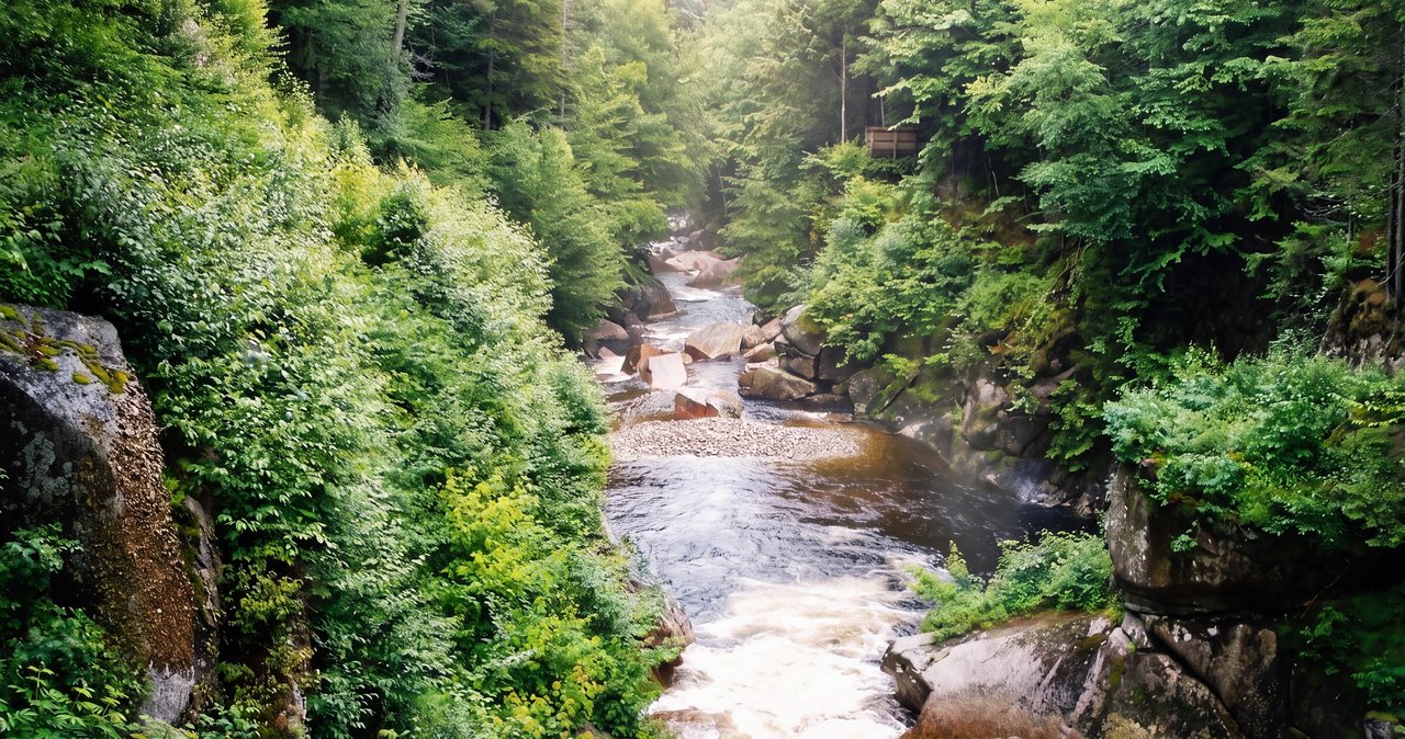
It is not a trail with a single destination. Its pleasures are the river itself, which here is a mountain brook of pools and small cascades rather than the wide Pemi you see in Lincoln; the sudden views of Cannon Cliff and the Franconia Ridge through the trees; the quiet arrival at the Basin from the woods side while the crowd comes from the parking lot; and the fact that it links the notch's parking areas, so you can walk one stretch and be picked up, or walk out and ride the bike path back.
This guide breaks the trail into its sections with the parking for each, describes the footing and the two brook crossings that matter, explains how it relates to the paved path and the interstate it threads under, and suggests the best pieces for a morning or an afternoon. The north end is about 16 min from the lodge.
The numbers
End to end the Pemi Trail is about 5.5 miles, from the Profile Lake parking at the Old Man of the Mountain Historic Site at Exit 34B to the hiker lot just north of the Flume Visitor Center at Exit 34A. It descends gently the whole way with the river, from around 1,900 feet at Profile Lake to about 1,400 at the Flume, so walked north to south it is almost all slightly downhill. Allow three hours for the whole thing at a walking pace with stops, or an hour to an hour and a half for any one section.
Because it is not a loop you either walk out and back on a section, use two cars, or combine it with the paved Recreation Path, which runs parallel a short distance away and returns you to any of the lots on a hard surface. The trail is blazed blue, mostly well defined, and rough only in a couple of places noted below.
Section one: Profile Lake to Lafayette Place, about two miles
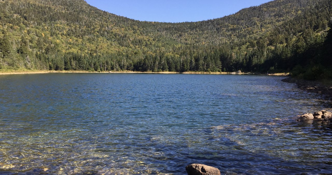
Start at the Profile Lake lot at the Old Man Historic Site, Exit 34B, where the memorial plaza to the fallen profile stands at the north end of the lake. The Pemi Trail follows the lake's west shore under Cannon Cliff on a rough path of large granite blocks, closer to a fisherman's track than a maintained trail; Profile Lake is a fly-fishing-only pond and the anglers made this path. Take it slowly. At the south end of the lake the trail enters the woods, crosses the outlet where the Pemigewasset River begins, and settles into easy walking through spruce and birch on bog bridges and soft ground.
For the next mile and a half the trail follows the young river south with the parkway audible but mostly out of sight, crossing the Recreation Path once or twice and giving occasional views up to the Franconia Ridge. It arrives at Lafayette Place Campground, where the trail passes through the campground itself; follow the blazes and the signs past the sites to the far side. The campground has restrooms and water in season.
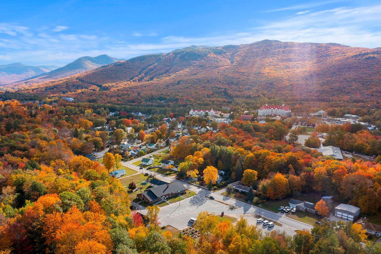
Section two: Lafayette Place to the Basin, a little over a mile
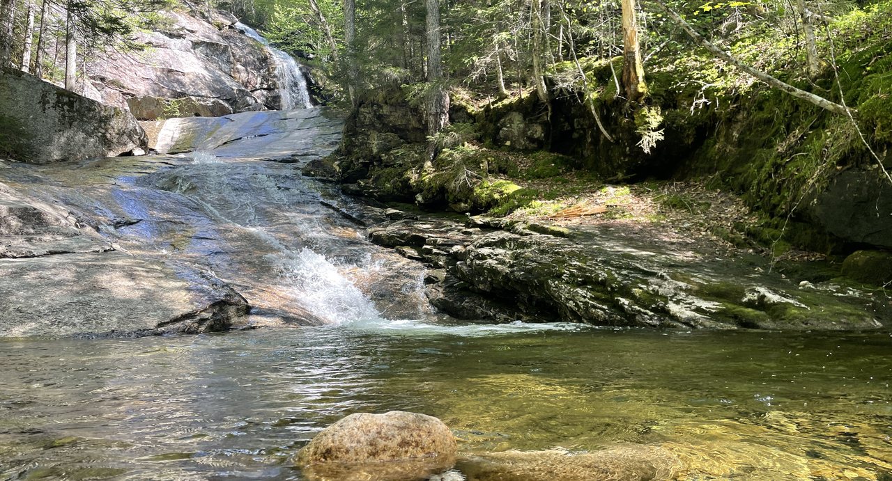
South of the campground the Pemi Trail is at its prettiest. The river runs in a series of pools and slides over granite, the woods close in, and the trail crosses Cascade Brook, the stream that comes down from Lonesome Lake, on rocks that are easy in normal water and a real obstacle after heavy rain. Depending on where in the campground you start, this stretch is between one and two miles.
Then the trail comes out of the trees onto the smooth granite riverbed above the Basin and delivers you to the famous pothole from the quiet side, while the crowd arrives from the parking lot across the river. The Basin has restrooms and a big lot on both sides of the parkway, reached from the northbound side by a walkway under the highway; it is the best place to start or end a half-day walk.
Section three: the Basin to the Flume, about two miles
Below the Basin the Pemi Trail continues down the river's west side, crossing Whitehouse Brook, the second crossing that turns difficult in high water, and threading under both lanes of the Franconia Notch Parkway near the Whitehouse Bridge, where the river and the trail change sides of the highway. It passes near the Whitehouse Trail and ends at the hiker parking lot just north of the Flume Visitor Center, the same lot used by hikers bound for Mount Liberty and Mount Flume. The Flume itself is a ticketed attraction; the trail and the hiker lot are free.
The Pemi Trail and the bike path
The paved Franconia Notch Recreation Path runs the length of the notch too, and the two routes cross and touch in several places. They are different experiences: the path is paved, graded, busy with bikes and strollers and open to the view; the trail is soft, wooded, quiet and slower. The useful trick is to use them together. Walk the Pemi Trail south with the river, then return north on the paved path, or leave a bicycle at one end. Our separate piece on the bike path covers its 8.7 miles from Skookumchuck to the Flume.
Footing, water and the two crossings
Most of the Pemi Trail is easy dirt and bog bridging with roots and a few rocky stretches; the granite blocks along Profile Lake and the riverbed slabs near the Basin are the exceptions, and both are slick when wet. The bog bridges vary in condition and ice over from October into May. The two brook crossings, Cascade Brook and Whitehouse Brook, are rock-hops in normal water and can be impassable without wading after a heavy rain or in snowmelt; if a crossing looks fast and deep, walk over to the paved path and finish there.
Because the trail runs through the state park, the usual rules apply: no camping outside Lafayette Place, no fires, leashed dogs, and stay off the riverbed slabs above the Basin's drop.
Parking, in one place
Four lots serve the trail, all free: the Old Man of the Mountain Historic Site at Exit 34B for the north end, Lafayette Place Campground and trailhead lots off both sides of the parkway (the trailhead lots fill early with Franconia Ridge hikers and the campground lots are for campers), the Basin lots at Exit 34A on both sides of the highway, and the hiker lot just north of the Flume Visitor Center for the south end. On summer weekends the Lafayette Place trailhead lots are full by eight and roadside parking on the parkway is illegal at all times; the Basin and Profile Lake lots are the reliable starting points, and the state runs a weekend hiker shuttle between Lafayette Place and the Falling Waters trailhead from late May to mid-October.
Seasons
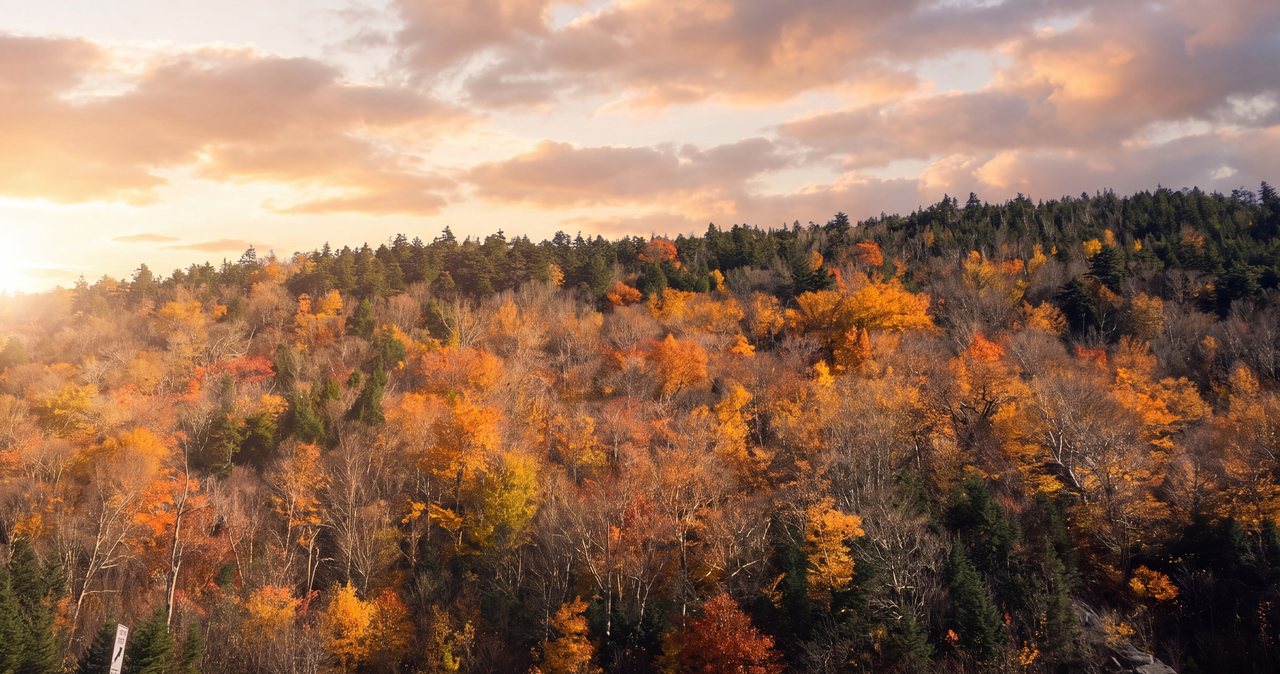
Late May through October is the season. June has the river full and the bugs fierce in the wet woods; July and August mornings are the quietest walks in the notch; the first two weeks of October bring foliage to the birches along the river and crowds to every lot, which is when this trail earns its keep as the way to see the notch without the traffic. In winter the trail is a pleasant snowshoe on packed snow, with the bog bridges hidden and the crossings iced; the paved path is the ski route.
Who this walk is for
Anyone who wants the river without the crowd: couples on a slow morning, people who have seen the Basin from the parking lot and want to arrive at it properly, anglers heading for Profile Lake, and anyone whose legs want a rest day between summits. It is a good rainy-forecast walk, sheltered and gentle, and a good arrival-day walk when you have driven all morning.
It is not a walk with a summit or a single great view; the bike path gives more open scenery, and the Basin and Profile Lake can both be seen in 10 min from their lots. Its point is the quiet and the river.
Safety & conditions
- Cascade Brook and Whitehouse Brook are rock-hop crossings in normal water and can be impassable after heavy rain or in snowmelt. If a crossing looks fast and deep, do not wade; cut over to the paved Recreation Path and finish there.
- The granite blocks along Profile Lake's west shore and the smooth riverbed slabs above the Basin are slick when wet. Take them slowly and stay off the slabs near the Basin's drop.
- Bog bridges vary in condition and ice over from October into May. Cross one person at a time and carry microspikes in the shoulder seasons.
- Roadside parking on the Franconia Notch Parkway is illegal at any time and cars are ticketed and towed. Use the four lots; on summer weekends start from the Basin or Profile Lake when Lafayette Place is full.
- The trail passes through Lafayette Place Campground. Follow the blazes and signs, respect the campers, and do not park in the campground.
- Black flies and mosquitoes are thick in these wet woods from late May into July. Carry repellent; a head net makes a June walk pleasant.
- Cell service is patchy in the notch. Tell someone your plan and which lot you will end at, and consider the $25 hikeSafe card; New Hampshire can bill for a rescue caused by negligence under RSA 206:26-bb.
Where to stay for it
The north end is one of the shortest drives to a trail from our door. From 191 Pollard Road take I-93 North into the Franconia Notch Parkway and leave at Exit 34B for the Old Man of the Mountain Historic Site and Profile Lake, about 16 min. The Basin, at Exit 34A, is 14 min, and the Flume hiker lot is a couple of minutes before it.
Our guests use the trail two ways. On a rest day they walk the middle section from the Basin north toward Lafayette Place and back, a gentle two to three hours with the river the whole way and a look at the Basin at both ends. On an arrival day they park at Profile Lake in the late afternoon, walk the lake shore under Cannon Cliff to the memorial plaza, and are back at the lodge for the evening.
For the whole trail, leave a car at the Flume hiker lot, drive the second car to Profile Lake, and walk south with the river. Or walk it all one way and ride the paved path back if you have bicycles with you.
Useful links
- Franconia Notch State Park
The park that holds the whole trail, with the current word on lots, the campground and the hiker shuttle. - Franconia Notch hiker parking and shuttle
The weekend shuttle between Lafayette Place and the Falling Waters trailhead, late May to mid-October. - New Hampshire Fish and Game: fishing licenses
For Profile Lake, which is fly-fishing-only. - hikeSafe: the code and the card
The six-point hiker responsibility code and the $25 / $35 voluntary card. - Our Franconia Notch bike path piece
The paved 8.7-mile Recreation Path that pairs with this trail for a one-way walk. - Our guide to the Basin
The pothole the middle section of the trail delivers you to.
Sources & official info: weirs.com · blog.nhstateparks.org · alltrails.com · nhstateparks.org · cannonmt.com
— Launchpoint Lodge, From the lodge