The Lincoln Woods Trail is one of the most-walked paths in the White Mountains, and for a lot of our guests it is the first hike they ever try up here: a wide, nearly flat old logging railroad grade that runs north along the East Branch of the Pemigewasset River, about 10 min from our door at the edge of the Kancamagus. It is the way in to Franconia Falls, Black Pond, and the whole Pemigewasset Wilderness beyond. For most of 2026 it is closed. If you have walked it before and were planning to again, or you read about it somewhere and pointed your whole trip at it, read this first, because the closure changes more than one hike.
What is closed and why
The Forest Service has closed the Lincoln Woods Trail beyond the trailhead, the walkable railbed that carries you north along the East Branch, from June 15 through November 2026, while crews rebuild a long stretch of riverbank that years of flooding, going back to Tropical Storm Irene in 2011, have undercut and eaten away beneath the old grade. In places the river had worked in close enough that the bank under the trail was actively failing. The fix is an engineered stabilization of that bank rather than a quick patch, which is why it takes a full season and heavy machinery to do.
The closure is enforced. There is earth-moving equipment on the grade through the summer and fall, and entering a Forest Service closure is a federal violation, a Class B misdemeanor that can carry fines of up to five thousand dollars for an individual and ten thousand for an organization. We repeat the numbers not to scare anyone but so you plan around the work instead of arriving at the trailhead and improvising. To confirm the current status, the Pemigewasset Ranger District answers the phone at 603-536-6100.
One detail trips people up, so it is worth stating plainly: what is closed is the walkable trail past the trailhead, not the trailhead lot itself. The parking area and the visitor center stay in use. But the railbed that carries you north into the Wilderness is shut, and, as you will see, so is almost everything that depends on it.
What still works at the trailhead
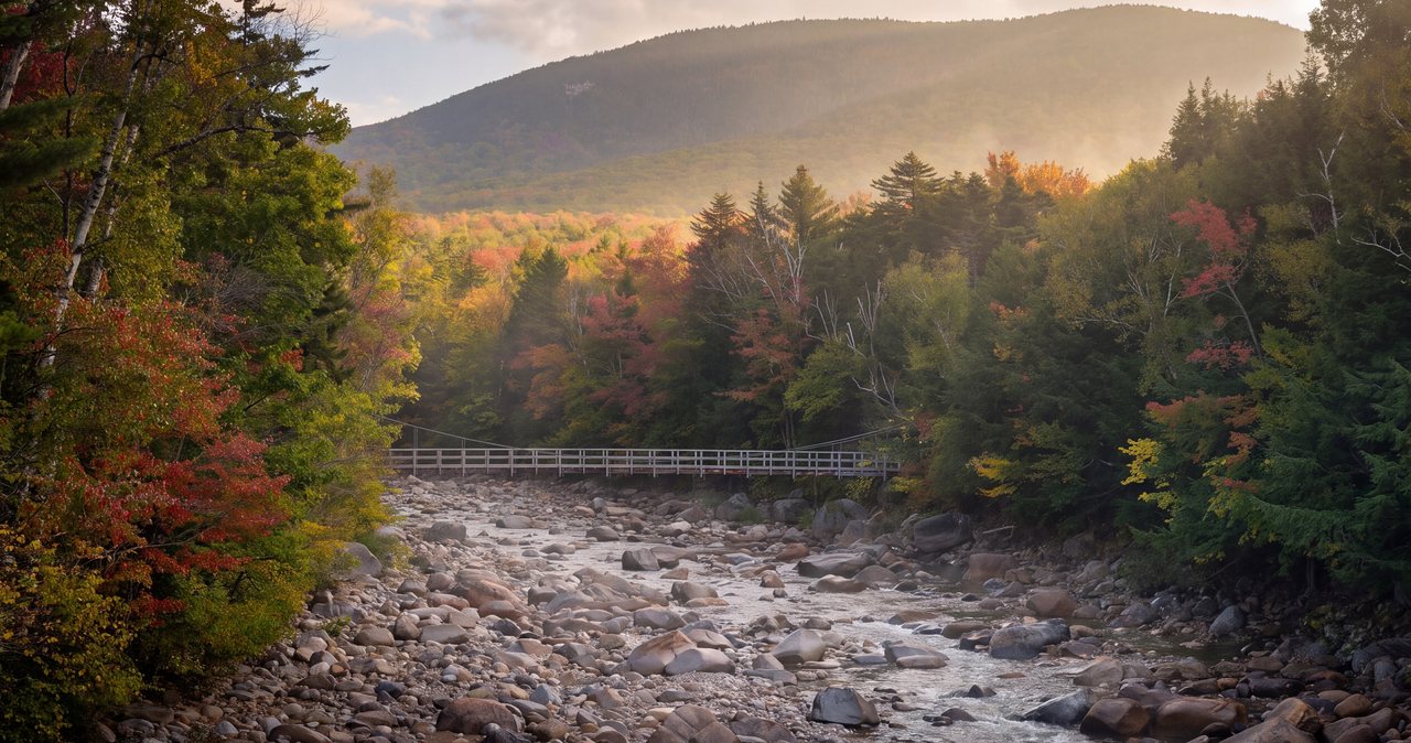
You can still drive in, park, and use the visitor center, and the rangers there are the best people to tell you exactly how much of the trailhead area is open while machinery is working, including how far out onto the suspension footbridge over the East Branch you can go. That bridge hangs over one of the widest, prettiest reaches of the river, and on a warm day you will find people just standing on it watching the water. It costs nothing to look, and a stop there is an easy addition to a drive up the Kancamagus. The visitor center is staffed in season, and the rangers there keep the current list of what is open and closed across the district, which makes it the single best place to reset a plan that was built around Lincoln Woods.
The East Side Trail runs up the far, eastern bank of the East Branch, opposite the closed grade, a flat gravel route of about six and a half miles that makes a pleasant, level river walk if all you want is to be near moving water under big trees. Two cautions come with it. Confirm it is open with the rangers before you commit, since it shares the trailhead with the work. And know that it does not get you across to the good stuff this year: there is no maintained bridge deeper in to carry you back over to the Franconia Falls and Black Pond spurs or to the Wilderness trails on the west bank, so treat the East Side Trail as a walk in its own right rather than a back-door route around the closure.
If you were counting on the AMC Hiker Shuttle to reach this trailhead, check the current schedule before you build a day around it. And if you are the sort of guest who likes to see a place before committing, the bridge and the first open yards of riverbank are a quick look on your way past on the Kancamagus.
If you remember one thing from this piece: the trailhead is still there, the trail past it is not, and there is easy, flat river walking within about 20 min of the house.
Why the railbed is so flat
Part of what makes the Lincoln Woods Trail so beloved is how gentle it is. The trail follows the bed of the old East Branch and Lincoln Railroad, a logging line built by the timber baron James E. Henry and his sons, whose log trains ran up these valleys from the 1890s until the late 1940s and hauled the timber down to a mill in what is now downtown Lincoln. Henry bought roughly a hundred thousand acres of forest here in the early 1890s, and the railroad was how he got the wood out.
When the logging ended and the forest grew back as protected Wilderness, the old rail grades stayed, and many of them became the trails hikers use today. A railroad cannot climb steeply, so the grade is nearly dead level for miles, packed and wide, which is exactly why families, first-time hikers, and anyone who wants a long walk without a climb have always loved it. The bank the Forest Service is now rebuilding is a piece of that same old railroad engineering finally losing its fight with the river. Knowing that history is part of what makes the walk worth doing when it reopens, and it explains why the easy substitutes we point people to are so often other old rail grades.
The hikes cut off from this side
The reason this closure matters more than a single trail is that Lincoln Woods is a trunk line. Almost everything in the southern Pemigewasset Wilderness is reached by walking the flat railbed first and branching off later, so shutting it closes a whole fan of trips from this direction.
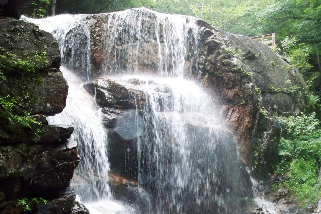
The two easy classics go first. Franconia Falls, the broad granite cascade and swimming spot that is the standard family destination out here, sits about 2.9 miles up the grade with a short spur at the end, roughly a six-and-a-half-mile round trip with barely any climbing. In a normal summer you pick up a free day-use permit for the falls at the trailhead; with the trail closed, that permit and that swim are on hold along with everything else. Black Pond, a quiet backwater that holds a mountain reflection on a still morning, branches off around 2.6 miles in. Both are reached from the Lincoln Woods side, and both are off the table this year.
The bigger objectives go with them. The Osseo Trail, the usual route onto Franconia Ridge from the south for Mount Flume and Mount Liberty, leaves the Lincoln Woods Trail inside the closed section, so that approach is gone. So are the long walks to Owl's Head, the most remote peak on the New Hampshire 4,000-footer list; to Thirteen Falls at the head of the Wilderness; and to the Bonds and Mount Guyot, along with the old logging-camp sites scattered deeper in. If you have any of these saved from our hike pages, you will see each one now carries a closure note at the top, so nobody plans a day around a trail they cannot reach.
Reaching the Bonds, Owl's Head and Thirteen Falls from the north
None of these places disappeared; they just have to be reached from the top of the map instead of the bottom. The northern approaches are longer, they involve real climbing that the flat railbed used to spare you, and in most cases they point you toward an overnight rather than a single big day.
The main door in is the Zealand Trail, off Zealand Road on the north side of the range. It is another old railroad grade, easy and nearly flat for about two and a half miles to the Zealand Falls Hut, following the Zealand River. From the hut you climb over Zeacliff and along the ridge to Mount Guyot and the Bonds, a long day out and back, or, more sensibly, a night at the hut or at the Guyot tentsite. Note that Zealand Road is gated from mid-November to mid-May, so the easy start vanishes in winter and the approach gets considerably longer on foot.
The AMC high huts become the natural way to break these trips up this year, with Zealand Falls Hut on one side of the high country and Galehead Hut, reached from the Gale River Trail, on the other. Owl's Head is the hardest peak to rewire. Its position deep in the Wilderness meant the flat Lincoln Woods walk quietly did most of the mileage, and without it the approach becomes very long and wet-footed, with unbridged brook crossings that can be a problem after rain. A lot of the hikers we talk to are simply saving Owl's Head for 2027, and for most people we think that is the right call.
The Pemi Loop from the north
The Pemi Loop, the roughly 31-mile circuit over eight 4,000-footers that is one of the most sought-after routes in the East, traditionally starts and ends on the Lincoln Woods railbed. That on-ramp and off-ramp are closed, so for 2026 the loop has to be run as a northern variation, and every version is longer and climbs more, because you lose the easy flat miles at both ends.
The Forest Service and the AMC point to a handful of alternate starts, and the mileage depends on which one you pick. The Old Bridle Path and Greenleaf Trail bring you up to Mount Lafayette on the Cannon side; the Gale River Trail joins the high country between Mount Garfield and South Twin; the Garfield Trail climbs to Garfield from the north; and the North Twin Trail is the longest of the group. The approaches run from roughly four to five and a half miles before you even reach the ridge, so in round numbers, plan on something in the range of 36 to 40 miles this year instead of 31.
That extra distance, plus more sustained climbing without the railbed to warm up on, pushes an already serious route further toward the edge. The Pemi Loop is a two- or three-day backpack for most people even in a normal year, and the 2026 versions are not the place to test whether you can force it into a single push. If the loop was the whole reason for your trip, this is the year to build in an extra night, or to trade it for a shorter ridge outing and come back for the full circuit once Lincoln Woods reopens. We would rather send you out for a great two-peak day than watch you grind out a forty-mile effort you did not train for.
Getting to Mount Flume and Mount Liberty
Two of the peaks caught by the closure have a clean, well-established alternate that does not add much fuss, so they earn their own note. Mount Flume and Mount Liberty, the southern end of Franconia Ridge, are normally climbed from the south by the Osseo Trail out of Lincoln Woods. With that closed, the standard substitute is to start on the west side of Franconia Notch instead, which many hikers consider the nicer approach anyway.
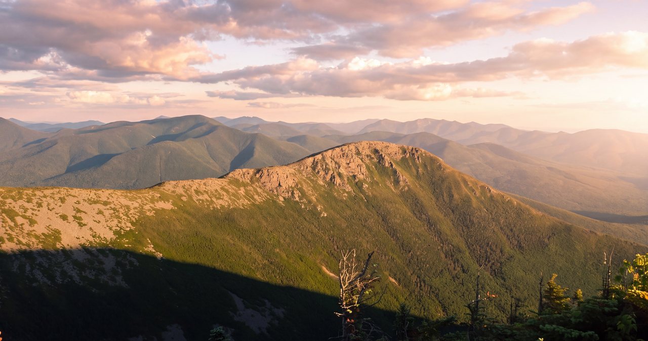
Park at the Liberty Springs lot just north of the Flume Gorge visitor center, follow the short Whitehouse Trail over to the paved Franconia Notch Recreation Path, cross the bridge, and pick up the Liberty Spring Trail as it climbs steadily to the ridge. Tagging both Mount Liberty and Mount Flume from here runs close to ten miles round trip with around four thousand feet of climbing, all of it non-technical but strenuous. It is a harder day than the old Osseo walk because you gain the ridge more directly, so start early, carry plenty of water, and check the forecast, since the ridgeline above the trees is fully exposed to wind and weather that can turn while you are up there. The payoff is a stretch of open ridge with views down into the very Wilderness you can no longer reach from the bottom, which is a fair trade. If the weather looks wrong, turn around at treeline and save the summits for a clear day; both peaks will still be there.
Easy flat walks within 20 min
For a lot of our guests, the appeal of Lincoln Woods was never the summits. It was the specific pleasure of a flat, easy mile or three along a river with mountains standing around you, the kind of walk you can do in sneakers with a coffee in hand. That exact experience is available within about 20 min of the house this year; you just point yourself at a different trailhead. The valley has more of these than most people realize.
The closest match in feel is the Pemi Trail, which runs the floor of Franconia Notch for about five and a half miles between Profile Lake and the Flume, following the young Pemigewasset River nearly the whole way. It is unpaved, close to level, and easy to break into shorter pieces from the Basin or Lafayette Place, so you can walk as little or as much as you like and turn around whenever your legs or the light tell you to. It is the walk we hand to people who wanted Lincoln Woods and want it today, and because it sits inside the Notch you can pair a short stretch of it with a stop at the Basin or an easy picnic by the river without driving anywhere else.
Off the Kancamagus, the Greeley Ponds trail climbs so gently it barely registers, reaching the first pond in a little over a mile and both ponds in a round trip of about four and a half miles, with cliffs rising straight off the water at the far end. The trailhead sits about nine and a half miles east of Lincoln on the Kancamagus, which is itself one of the best slow drives in the region, so the getting-there is half the outing.
For the paved version with the biggest scenery, the Franconia Notch Recreation Path runs close to nine miles through the heart of the Notch, completely separated from the highway, and you can walk any segment of it and simply come back the way you came. Farther afield, the Zealand Trail about 40 min north gives you the same old-railroad-grade rhythm as Lincoln Woods on a different river, ending at a waterfall and a hut, though its access road closes for winter. And when you do not want a project at all, the short walk to the Basin, a smooth granite pothole carved by meltwater a 5 min stroll off the parkway, scratches the same itch in an afternoon.
Parking, passes and cell service
A few practical notes travel with all of these substitutes. Most White Mountain National Forest trailheads, including the Lincoln Woods lot and the Kancamagus overlooks, require a recreation pass, which runs five dollars for the day or thirty dollars for an annual pass. Many lots have a self-register envelope station if you do not already have one, so it is worth keeping a few small bills in the car as a backup. You display the pass on the dashboard, and the same one covers the fee lots and the Kancamagus overlooks alike, so if you plan to hike several days, the annual pass pays for itself quickly.
Cell service is the bigger thing to plan for. Coverage drops off fast once you leave the town core, and it is essentially gone along the length of the Kancamagus Highway, which runs 34 miles with no gas, no food, no services and no signal, topping out around 2,855 feet at the height of land. Reception is patchy through Franconia Notch as well. Download your maps, driving directions, and any trail notes before you leave the lodge, where the Wi-Fi is fast, rather than counting on a page to load at a trailhead where it will not.
Fuel up before you drive the Kanc, tell someone your plan, and carry more layers than the thermometer in town suggests, because it is cooler and windier the moment you gain elevation. For current conditions, active closures, and the mountain forecast that actually matters once you are above the trees, our trail conditions and mountain weather guide is the page to check the morning you head out, and we are always glad to talk it through with you by message.
When the trail reopens
The Forest Service is aiming for November 2026, weather and the work permitting, and there is always a chance a job this size slips later. We will keep our hike pages and our trail conditions guide current as the season goes, and the Forest Service alerts page will carry the official reopening date once it is set. It is worth checking that alerts page again close to your trip, since a November target on a riverbank job like this one can move with the weather. Until then the closure stands, the equipment is out there, and the detours above are the way to see the same country.
When the grade does open again, the first flat mile up the old railbed toward Franconia Falls is the right way to mark it, and our guide to that walk will be ready for you. A rebuilt bank should also mean the trail stops washing out every few years, so the work buys the next generation of walkers a more durable version of the one everyone loves. If you are visiting before then and had your heart set on Lincoln Woods, do not let the closure flatten the trip. Ask us at the door and we will match the day, the weather, and what you actually feel like doing to one of the walks above. There is more good, easy river walking within a short drive of the house than most people get through in a single stay.
— Launchpoint Lodge, From the lodge