If you have one free morning in the White Mountains and want a summit that pays off well for the effort, this is a good first choice. Mount Pemigewasset — most people around here just call it Indian Head — is a 2,557-foot peak on the west wall of Franconia Notch, and the trail up it is short, well-built, and forgiving right up until the last few minutes, when the trees fall away and you walk out onto a sweep of open granite with the Notch dropping away below. Franconia Ridge stands across the valley. Loon Mountain and the Pemigewasset valley open to the south. It is one of the best view-per-mile hikes within 15 min of the lodge.
The name is worth explaining, because it confuses people. Seen from Route 3 to the south, near the Indian Head Resort, the cliffs below the summit form the rough profile of a face looking up at the sky — that is the 'Indian Head' the mountain is known for. When you hike it, you climb to the top of that face and stand on the ledges above the profile. You are not looking at the profile from up there; you are standing on it, looking out. That distinction matters, because those same ledges sit at the top of a steep, unfenced drop, and the view that makes this hike also makes it a place to watch your footing and keep children close.
This guide is written by people who have walked this trail in summer heat, October color, and winter cold, and who send guests up it through the season. We have tried to be realistic about the things the official listings gloss over: when the Flume lot fills, how the two trails to the top really compare, where the footing gets awkward, and why a modest peak still deserves a look at the mountain forecast before you go.
The short version
Mount Pemigewasset is a moderate out-and-back of about 3.4 miles round trip (roughly 1.7 miles each way) with around 1,250 feet of elevation gain — sources vary from about 1,150 to 1,300 feet depending on how it is measured. Most reasonably fit people take two and a half to three and a half hours car to car, including a good sit on the summit. The standard route is the Mount Pemigewasset Trail, which starts at the Flume Visitor Center and is the graded, stone-stepped, better-maintained of the two paths to the top. A steeper, rougher alternative called the Indian Head Trail climbs from a separate trailhead on Route 3, and the two can be linked into a loop of roughly five miles for people who want more.
What sets this hike apart from other short summits nearby is the payoff. You are not peering at a view through a gap in the trees. You walk out onto broad open ledges, and the summit is exposed on its east side, at the top of the Indian Head cliffs. That is the whole appeal and also the one real hazard. Everything else about the trail is straightforward. The exposure at the top is not, and this guide comes back to it more than once, because it is the thing that turns a family walk into a place where you pay attention.
Getting there and the parking reality
The trailhead is at the north end of the Flume Visitor Center parking lot, right off Exit 34A on Interstate 93 in Franconia Notch. From the lodge at 191 Pollard Road it is about a 12 min drive: north on I-93 through Lincoln, take Exit 34A, and the visitor center is right there. This is the same building and lot people use for the Flume Gorge attraction, which is why it gets busy — but here is the key fact the trail listings tend to bury: parking in the Flume lot is free. You only pay if you buy a ticket for the Flume Gorge boardwalk itself. Hikers heading up Mount Pemigewasset park for nothing.
That also means you do not need a White Mountain National Forest recreation pass here. The $5-per-day WMNF pass (or your America the Beautiful pass) is required at many Forest Service trailheads elsewhere in the region — Lincoln Woods on the Kancamagus, for example — but the Flume is New Hampshire state park land, and the visitor center lot has no parking fee. Save your pass for the Kanc. Bring a card or a few dollars anyway if you might want the restrooms, snacks, or a Flume ticket while you are there.
The lot is large, but 'large' is relative to how popular this corner of the Notch is. On summer weekends, and especially during foliage season from late September into mid-October, the Flume lot can fill by mid-to-late morning, and when it is full you are circling or turned away. This is where staying central in Lincoln earns its keep: a 12 min drive means you can leave the lodge after coffee and be parked and walking by 8:00 or 8:30, well ahead of the crowd, with the summit ledges quiet and the lot half empty. Come back down at 11:00 and you will pass a steady line of people just starting up in the heat. An early start is the single biggest thing you can do to improve this hike, and being this close makes it easy.

The route, step by step (Mount Pemigewasset Trail)
From the north end of the Flume lot, the Mount Pemigewasset Trail starts gently on a wide, groomed path. Within the first few hundred yards you pass under Interstate 93 through a highway underpass — an odd start to a mountain hike, walking beneath the traffic — but it is over quickly, and then the woods take over and the road noise fades behind you. This first stretch is nearly flat and makes for an easy warm-up; you cross a small brook and wooden footbridges early on, and this lower section is where the trail crews' work shows most clearly in the stone steps and water bars.
After the underpass the trail settles into a steady, moderate climb through hardwoods and then into spruce and fir as you gain height. This is the meat of the hike and it is pleasant walking: a consistent grade, good footing, no scrambling, the kind of trail where you can hold a conversation. There are no reliable water sources once you leave the lower brook, so fill up before you go — do not count on refilling here, and do not count on the early brook being safe to drink without treatment. The Mount Pemigewasset Trail has been rebuilt and re-graded over the years, so it follows a less rocky, more sustainable line than its steeper sibling.
In the upper part of the climb the Indian Head Trail comes in from the right (from the south, off Route 3) at a signed junction a short distance below the summit — figure roughly a third of a mile, though estimates vary. From there the final push is the steepest and rootiest part of the whole hike: a short, sharper climb over roots and rock where you may use your hands on a step or two. It does not last long. Then the canopy opens, the grade eases onto slab, and you step out onto the summit ledges. That transition, from close spruce woods to sudden open sky and a long drop, is abrupt, and it is the moment most people remember.
Coming down, you reverse the route. The descent is easy on the knees by White Mountain standards because the trail is so well-graded, but take the steep upper section slowly — roots and slab that were fine to climb are where people slip going down, especially when wet. Budget a little more time than you think for the descent if the rock is damp.
The summit ledges: what you see, and the drop
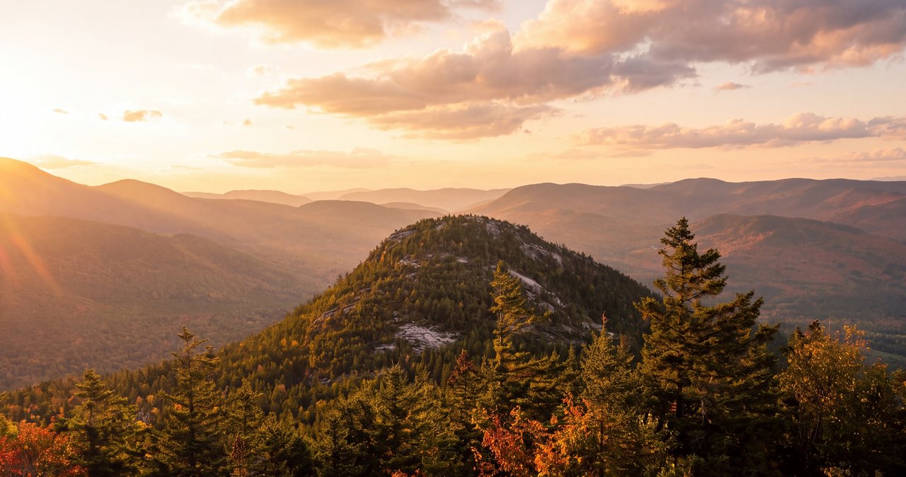
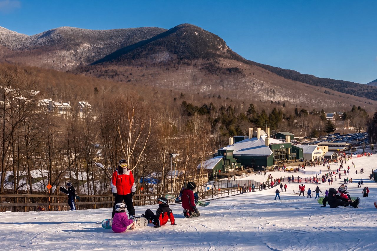
The summit is a broad apron of open granite tilted toward the east, and the view is why people climb this modest peak. Across the Notch stands Franconia Ridge — Mount Liberty and Mount Flume closest and sharpest, with Lincoln and Lafayette beyond — while Cannon Mountain and the Kinsman Range fill the west side of the valley behind you. Look south and the land opens down the Pemigewasset valley toward Lincoln, with the ski slopes of Loon Mountain in view and Mount Moosilauke off to the southwest. On a clear day you can pick out plenty of higher peaks — the Osceolas, the Tripyramids, Mount Tecumseh — from a summit that is not itself anywhere near their height. That is the appeal of Indian Head: it sits low but well placed, out on the edge of the Notch with little between you and the big ridges.
Now the serious part. The east side of these ledges is the top of the Indian Head cliffs. The rock and steep terrain fall away below you — a few hundred feet of cliff and then steep, wooded slope, roughly a thousand feet of fall-line down to the valley floor. There is no railing and no fence; this is a wild summit, not a viewpoint with guardrails. The slab is broad enough that you can enjoy the view safely well back from the edge, and you should. Wet rock, a gust of wind, a slip while backing up for a photo, an off-leash dog, or an excited kid running ahead — these are the circumstances that turn a good summit into a tragedy. Pick a spot back from the lip, sit down, and eat there. Keep children within arm's reach and dogs leashed the entire time you are on the ledges.
The open summit also means sun and wind. There is no shade up top, so on a hot clear day you will want a hat and sunscreen, and on a cool or breezy day the ledges can feel noticeably colder than the parking lot, with wind that was not there in the sheltered woods. Bring a layer even in summer. People routinely reach the top sweaty in a t-shirt and start shivering within 10 min of sitting still in the breeze.
The Indian Head Trail: the other way up
The second route to the summit is the Indian Head Trail, which starts from a small parking area on the west side of Route 3, a bit south of the Indian Head Resort. It reaches the same summit and is comparable in length to the Mount Pemigewasset Trail — some sources call it slightly shorter to the top, others slightly longer — but it is clearly the steeper, rockier, less-maintained of the two. It climbs more directly and has not had the same trail-building work. It joins the main trail at that signed junction a short distance below the summit.
For most guests we recommend simply going up and down the Mount Pemigewasset Trail from the Flume; it is the nicer walk and the parking is free and easy. But if you want more out of the day and do not mind a rougher tread, you can make a loop: up one trail and down the other. The two trailheads are a couple of miles apart, at the Flume and on Route 3, so a true loop means either a road or bike-path walk to close the gap or spotting a second car. It is not worth the logistics for a first visit. Save the loop for a return trip once you know the mountain.
The option from the Basin
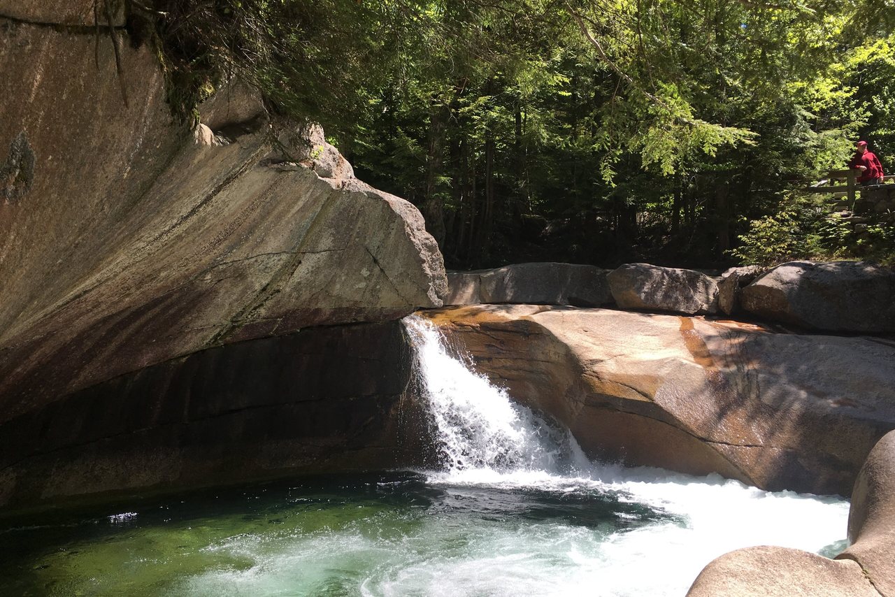
Guests often ask whether they can combine Indian Head with the Basin, the glacial pothole and waterfall a little way north in the Notch, and the answer is yes — the paved Franconia Notch Recreation Path connects them. The Basin has its own state park parking area off I-93, and from there the recreation path runs south down the valley toward the Flume, alongside the Pemigewasset River. You can park at the Basin, walk or bike the path south to the Flume area, and pick up the Mount Pemigewasset Trail from there.
There are two good reasons to do it this way. First, if the Flume lot is already full on a busy day, the Basin lot gives you another place to start and a pleasant approach on foot. Second, it lets you string two of the Notch's better short stops into one outing — see the Basin, walk the river path, then climb to the ledges — without moving your car. It does lengthen the day: figure a few flat, paved miles round trip on top of the 3.4-mile hike. For a strong walker that is a fine half-day. For anyone who wants the summit and nothing more, just park at the Flume and keep it simple.
Difficulty
The guidebooks call this 'moderate,' and for once the label is fair. It is a real climb — you gain over a thousand feet, and the last stretch is steep enough to make you breathe hard — but it is one of the more approachable summits in the White Mountains, and a legitimate choice for reasonably fit first-timers, older kids, and people who want a taste of a New Hampshire summit without committing to the all-day grind of the 4,000-footers across the Notch. If you can walk a few miles on hills at home, you can do this.
Who it is not for, candidly: this is not a stroller hike, and it is not a good pick for someone with no hiking experience who is uneasy about heights, because the reward at the top is an unfenced clifftop. Very young children can be carried up fine, but they must be held or kept close on the ledges. People with bad knees will find the descent easier here than on most local trails thanks to the good grading, but the steep upper section still asks something of you both directions.
On realistic times: fit hikers moving steadily can be up and down in around two and a half hours, but most people should plan for three to three and a half hours car to car once you factor in a proper stop on top — and you will want one. Add time in the heat, add time if the rock is wet and you are moving carefully on the steep section, and add time in fall when you stop every hundred feet for the color. There is no shame in a slow, enjoyable pace on a hike this scenic.
Weather and why a small peak still demands respect
Mount Pemigewasset tops out at 2,557 feet, well below treeline, so it is spared the high alpine weather of Franconia Ridge or Mount Washington across the valley — you won't be caught in a whiteout above the trees here. But the summit is open, exposed rock at the top of a long drop, and that changes the calculus more than the modest elevation suggests. Wet granite is slick, wind funnels through the Notch, and an afternoon thunderstorm rolling over the ridge will find you standing on a bald high point of stone. Lightning does not care that the peak is short.
The habit worth building, and the one most local hikers keep, is to check the mountain forecast the night before and the morning of — not just the town forecast for Lincoln. The Mount Washington Observatory's Higher Summits Forecast is a good read on what the high country is going to do, and even for a low peak like this it will tell you about incoming fronts, wind, and afternoon storm chances better than a phone weather app. If thunderstorms are in the forecast, hike early and be off the ledges by early afternoon, when storms most often build. If it has rained recently, expect the steep upper rock to be greasy.
New Hampshire runs the hikeSafe program jointly through the U.S. Forest Service and Fish and Game, built around the Hiker Responsibility Code: be prepared, leave your plans with someone, stay together, know when to turn back, and carry what you need for an emergency. It is worth a 2 min read at hikesafe.com before any White Mountain hike. The state also sells a voluntary Hike Safe Card — $25 per person or $35 per family for 2026 — that supports search-and-rescue and generally shields responsible hikers from rescue costs if something goes wrong. It is inexpensive insurance if you plan to hike the region more than once. Leave your plan with someone at home, and message us any time if you want to talk through the day's weather before you head out.
Season by season
Summer, roughly late June through August, is the easy season: the trail is dry and clear, the woods are green and shaded on the way up, and the main cautions are heat and afternoon thunderstorms. Start early to beat both the crowds and the storm window, carry more water than you think you need, and remember there is no shade and no water at the summit. Bugs can be present in the lower woods in early summer but are rarely a problem out on the breezy ledges.
Fall is the showpiece. Foliage in Franconia Notch typically peaks from late September into the middle of October, and from the Pemigewasset ledges you look across at whole mountainsides of color with the gray line of Franconia Ridge behind them. It is one of the better foliage views in the state, and it is short enough that most people can reach it. The cost of that is company: this is the busiest time of year, the Flume lot fills earliest, and an 8:00 a.m. start from the lodge is close to mandatory if you want parking and quiet. Bring a warm layer; October mornings on the ledges are cold.
Winter and the shoulder seasons change the hike more than the elevation would suggest. In winter this is a popular and doable snowshoe or microspike hike, but the steep upper section and the summit slab get icy, and traction — microspikes at a minimum — is not optional on the ledges above a drop. Spring brings mud season, roughly April into May, when the trail is soft, wet, and easily damaged; the responsible move is to walk straight through the mud rather than around it, to keep the trail from widening, and to save the higher stuff until things dry out. If you are here in the cold months and want to hike this, ask us at the lodge about current conditions — they change fast.
Gear, water, and footwear
You do not need heavy mountaineering kit for this hike, but you do need real footwear. Hiking boots or trail runners with good tread are the right call — the steep upper section has roots and rock, and the summit slab is unforgiving of smooth-soled sneakers, especially when damp. Bring more water than feels necessary: there is no reliable source on the trail and none at the exposed, sunny summit, so plan for at least a liter per person in cool weather and considerably more in summer heat. A hat, sunscreen, and a wind layer belong in the pack even on a warm clear day, because the top is fully exposed to sun and wind in a way the sheltered climb is not.
Round it out with the small stuff that turns a minor problem into a non-problem: a few snacks, a basic first-aid kit, a headlamp if there is any chance you finish late, and a phone with a downloaded map, since cell service in the Notch is patchy. This is a place where 'be prepared to turn back' from the Hiker Responsibility Code applies in miniature — if the rock is icy and you did not bring traction, the smart move is to enjoy the woods and skip the final slab rather than risk a slide toward the edge. Message us and we can point you to the outfitters in Lincoln if you arrive short something.
Leave No Trace and the ledges
Franconia Notch is a heavily used place, and this summit in particular sees a lot of boots. The ordinary Leave No Trace rules apply — pack out everything you bring in, including fruit peels and pistachio shells, which do not belong on a summit and do not break down the way people imagine. Stay on the established trail rather than cutting switchbacks, and in mud season walk through the wet center of the trail instead of skirting it, because skirting is how a single track becomes a ten-foot-wide scar.
On the summit specifically, fragile plant life clings to the thin soil in the cracks and margins of the granite. Keep to the bare rock and step around the pockets of vegetation and lichen at the edges of the slab; they take years to establish and a single step to damage. And on the practical-courtesy side: this is a small summit that can get crowded, so keep music off the speaker, keep dogs leashed both for safety and for other hikers, and share the best view spots rather than camping on them. The ledges are big enough for everyone if nobody hogs the front row.
Common mistakes and the smarter play
The most common mistake is showing up late. People roll into the Flume lot at 11:00 on a July or October Saturday, find it full, and either give up or spend the peak-heat hours on a crowded trail. Staying 12 min away in Lincoln makes the fix easy: leave the lodge by 7:30 or 8:00, park in a near-empty lot, get the ledges to yourself, and be back down before the crowd is halfway up. If you are not a morning person, the second-best window is late afternoon on a stable-weather day, once the day-trippers have cleared out — just be sure you are not chasing sunset down that steep upper section without a headlamp.
The second mistake is treating a short hike as a casual one at the top. Because the trail is easy, people arrive at the summit relaxed and let their guard down exactly where they should not — near the edge, on wet rock, with the dog off leash. Reset your attention when you step onto the open granite. The third mistake is over-planning the loop with the Indian Head Trail on a first visit; the trailheads are far enough apart that the logistics rarely pay off, so just go up and down the Mount Pemigewasset Trail unless you specifically want the extra rough mileage. And the fourth is skipping the weather check because the peak is small — the open ledges in a thunderstorm are the real risk here, not the altitude.
Nearby add-ons and how it connects
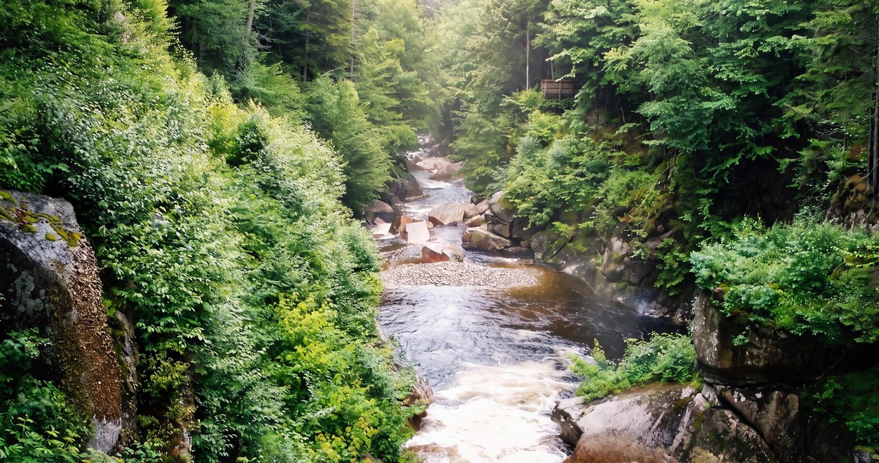
Because the trail starts at the Flume Visitor Center, the most natural pairing is the Flume Gorge itself — the boardwalk through a deep, mossy granite chasm with a waterfall, a ticketed, timed-entry attraction right at the same lot (buy online in advance in peak season). Do the hike in the cool of the morning and the gorge afterward, or the reverse. It makes for a full half-to-full day in one parking spot. A little north up the recreation path lies the Basin, the glacial pothole and falls, which as noted above can be linked to the hike on foot or done as a quick separate stop.
One planning note for the area: the Cannon Mountain Aerial Tramway is closed. It made its final runs in October 2025 and is being fully replaced, a project expected to take multiple years, so it is not running for the 2026 season — do not build a day around riding it. Cannon's summit and the rest of the corridor are still worth seeing on foot.
Zoom out and Indian Head is the gentle introduction to a valley full of bigger objectives. Directly across the Notch, the Franconia Ridge Loop over Little Haystack, Lincoln, and Lafayette is one of the most celebrated — and most demanding — day hikes in the Northeast, an above-treeline route best saved for good weather and a completely different animal from this one. Cannon Mountain, Lonesome Lake and its AMC hut, and Artist Bluff all sit within the same corridor, and the Kancamagus Highway with its own trailheads is a short drive south through Lincoln. Mount Pemigewasset is a good first day of a longer visit: a real summit, real views, and a clear read on how your legs feel before you decide whether to take on the ridges you have been staring at from the ledges.
Safety & conditions
- The summit is an open, unfenced granite ledge at the top of the Indian Head cliffs, with a long, steep drop below — a few hundred feet of cliff and then steep slope, roughly a thousand feet down to the valley floor. Enjoy the view from well back on the broad slab, keep children within arm's reach, and leash dogs the entire time you are on top. Never back up toward the edge for a photo.
- Wet or icy rock on the summit slab and the steep upper section of the trail is the leading cause of slips. Move slowly on damp granite and carry microspikes in the cold months — traction is not optional above the edge.
- Though the peak is short, the open summit is fully exposed to wind and lightning. Check the Mount Washington Observatory Higher Summits Forecast, hike early, and be off the ledges before afternoon thunderstorms build. When storms threaten, skip the exposed top.
- Follow the hikeSafe Hiker Responsibility Code: carry water, layers, and a light; tell someone your plan; and be willing to turn back. Consider a NH Hike Safe Card ($25 individual / $35 family for 2026) if you will hike the region more than once.
Where to stay for it
Mount Pemigewasset is the closest real summit to the lodge — about 12 min north on I-93 to Exit 34A and the Flume Visitor Center. That proximity is a genuine advantage on this particular hike, because the Flume lot fills on busy summer and foliage mornings and the fix is simply to start early. Leave after coffee, be parked and walking by 8:00, and you get the ledges in the quiet with the lot half empty while the day-trippers are still an hour out. Guests who stay farther away cannot pull that off; being central in the Notch means you can.
Because our suites are named for the landmarks around us, this hike has a natural home base: the Pemi suite shares its name with the mountain, and there is something fitting about climbing your namesake peak in the morning. For the practical side of a hiking day, the Basin suite has the deep spa tub that tired legs will thank you for after the descent, and the Notch suite keeps the theme for anyone spending their days in Franconia Notch. If stairs are a concern before or after a climb, ask us when you book about our first-floor options.
We hike these trails ourselves and are glad to help you plan the day by message — the mountain weather the night before, whether the rock will be icy, where to rent gear in town, and how early to start to beat the crowd. A short summit with a big view is exactly the kind of morning this lodge is built around.
Sources & official info: nhstateparks.org · trailfinder.info · hikesafe.com · mountwashington.org · wildlife.nh.gov
— Launchpoint Lodge, From the lodge