Stinson Mountain sits at the southern edge of the White Mountain National Forest above Rumney, the village best known for its rock climbing and the Polar Caves. It is not a big mountain, at around 2,900 feet, and the trail up it is not a hard one: 1.8 miles and about 1,400 feet of steady, well-graded climbing from a dirt road on the shoulder of Stinson Lake to a summit that was cleared for a fire tower in 1927. The tower is gone, but the view it was built for remains, south over Plymouth and the Baker River valley to Mount Cardigan and west to the Green Mountains, with a spur to a ledge looking straight down on Stinson Lake.
It is the hike we recommend to guests who want a summit without the exposure and the crowds of the notch: a good first mountain, a good rainy-week alternative when the high peaks are in cloud, and a good winter climb because the grade is gentle and the trail is sheltered until the top. It also puts you in Rumney at lunchtime, which is no bad place to be.
This guide covers the trail, the summit and its tower history, the small trailhead down a maze of back roads and how to find it, the fee question, seasons, and how to combine the hike with the rest of the Rumney and Plymouth area. The trailhead is about 40 min from the lodge, most of it on the interstate.
The numbers
The Stinson Mountain Trail is about 1.8 miles from the trailhead to the summit, so 3.6 miles round trip, with roughly 1,400 feet of elevation gain. The trailhead sits around 1,500 feet on the hillside above Stinson Lake, and the summit is about 2,900 feet. Most people take two to three hours round trip, and the grade is gradual enough that it is regularly recommended as a first White Mountains hike.
The trail follows an old road for the first stretch and then climbs on a well-worn path through hardwoods and spruce with a few short, steeper pitches near the top. The footing is roots and rock, typical of the region, with some wet spots in spring. There is no scrambling and no above-treeline exposure; the summit clearing is the only open ground.
Finding the trailhead: a dirt road above Stinson Lake
The trailhead takes some finding, which is part of why the mountain stays quiet. From I-93 take Exit 26 for Plymouth and Rumney and follow NH Route 25 west for about 7.3 miles. Turn right onto Main Street in Rumney, which becomes Stinson Lake Road, and follow it for about 5 miles as it climbs past the village and along the west shore of Stinson Lake. Turn right uphill onto Cross Road at the hiking sign, follow it about 0.8 mile, then turn right onto Lower Doe Town Road, a dirt road, and the small trailhead lot is about 0.3 mile along on the left.
The lot is small, a pull-off holding only a handful of cars, and Lower Doe Town Road is not plowed in winter, when you park where the plowing ends and walk the last stretch. The trail is on White Mountain National Forest land and several guides advise carrying a recreation pass; read the kiosk, if one is posted, when you arrive. There is no toilet or water at the trailhead.

The trail to the summit
The Stinson Mountain Trail leaves the road on an old woods road, easy and wide, and soon settles into a steady climb through maple and birch. The grade is the mountain's great virtue: it rises without hurry, with switchbacks and long traverses instead of the straight-up staircases of the notch trails, so that the 1,400 feet pass almost unnoticed. Higher up the hardwoods give way to spruce and the trail steepens briefly in a few rocky pitches before easing onto the summit ridge.
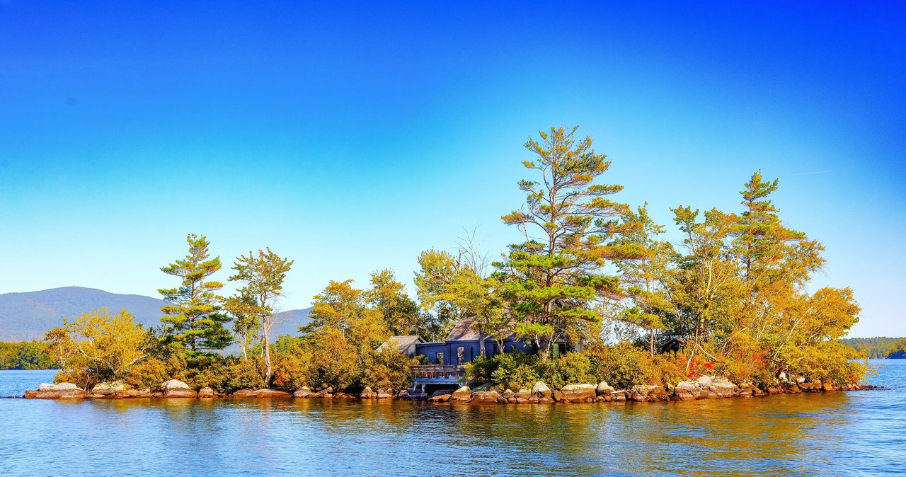
A short distance below the top a signed spur leads to a ledge with a view straight down over Stinson Lake, the long blue lake you drove along, with the hills of Rumney beyond. Take it; it is the best photograph on the mountain. Then the main trail finishes in the summit clearing.
The summit and the fire tower that stood here
The top of Stinson Mountain is a cleared area of ledge and grass around the concrete footings of the old fire tower. The tower was built in 1927, staffed by fire lookouts through the summers until 1967, and dismantled and removed in 1985 when aircraft and cameras had made the old towers redundant; only the footings and a few anchor bolts remain. The clearing they kept open is why the view survives on a wooded summit.
From the clearing you look south over Plymouth and the Baker River valley to Mount Cardigan's bald summit in the distance, west across the Connecticut valley to Vermont, and around to the low hills of the southern White Mountains. It is a gentler, more pastoral view than the notch mountains give: farms, lakes and long ridges rather than cliffs. Carr Mountain and the bulk of Moosilauke stand to the north through the trees.
Winter: a good first snowshoe summit
Stinson's gradual grade and sheltered trail make it one of the better winter summits for people new to snowshoeing. The approach adds a little walking: Lower Doe Town Road is not plowed, so you park where the plowing stops on Cross Road and walk the dirt road to the trailhead. The summit clearing is exposed and cold; the spur ledge is icy. Carry snowshoes and microspikes both, and expect the last pitches to be packed and slick.
Seasons
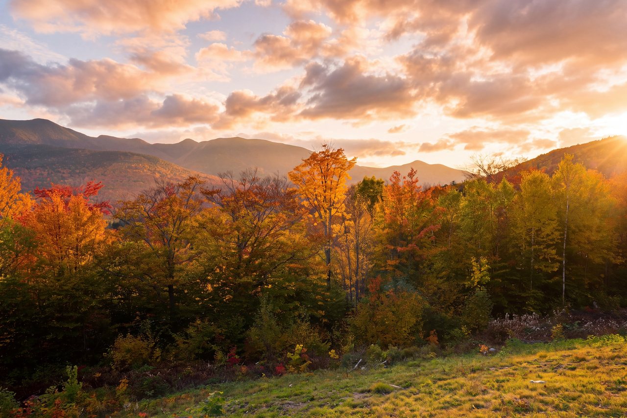
Late spring through fall is the season, with the mountain drying earlier than the high peaks because of its southern position and lower elevation. Foliage comes in the first two weeks of October, and the maple-covered lower slopes and the view over the farm country make it a fine, quiet foliage hike when the Kancamagus is a parking lot. Summer is buggy in the woods until July and pleasant on the open summit.
Mud season, April into May, is wet on the lower trail and the dirt road can be soft; wait for it to firm up.
Making a day of Rumney and Plymouth
The mountain sits above a village worth an hour. Rumney's crags at Rumney Rocks draw sport climbers from across the Northeast, and the roadside pull-offs on Buffalo Road fill with them on weekends; watching from the base is free. The Polar Caves, a boulder-cave attraction on Route 25, are minutes away, and Plymouth, the college town at Exit 26, has the restaurants and coffee for the way home. Our Polar Caves guide covers the caves; our rock climbing guide covers Rumney.
Who this hike is for
First-time White Mountains hikers, anyone who wants a summit on a day when the high peaks are in cloud or wind, couples who prefer a gentle climb and a lake view to a scramble, and winter beginners. It is also a good pick on a day you plan to be in Plymouth or Rumney anyway.
It is not a dramatic mountain. People who want cliffs and alpine exposure will find the summit tame; for them the notch is the place, and Stinson is the rest day.
What to carry
Water for a half day, a snack for the summit, a layer for the exposed clearing and rain gear. Trail shoes are fine in summer; boots help in mud season. Bug protection through June. From October on, microspikes; in winter, snowshoes for the unplowed road and the trail.
Cell service fades above the lake. Download the map before Plymouth, set your directions before you leave Route 25, leave your plan with someone, and consider the $25 hikeSafe card; New Hampshire can bill for a rescue caused by negligence under RSA 206:26-bb.
Safety & conditions
- The spur ledge over Stinson Lake is open rock with a real drop and it ices early in the season. Keep back from the edge, especially with children or when the rock is wet.
- The summit clearing is exposed to wind and lightning. Check the forecast, carry a layer, and head down at the first sign of a thunderstorm.
- In winter Lower Doe Town Road is unplowed; park where the plowing ends without blocking the road or a driveway and expect to walk to the trailhead. The upper pitches pack hard and ice; carry microspikes and snowshoes.
- The back roads above Rumney are easy to confuse and cell service fades above the lake. Set your directions in Plymouth or Rumney village, download a map, and leave your plan with someone.
- Black bears are common on the southern edge of the forest. Keep food packed away on the summit and never leave a pack unattended.
- Consider the $25 hikeSafe card; New Hampshire can bill for a rescue caused by negligence under RSA 206:26-bb, and even an easy mountain can twist an ankle.
Where to stay for it
The drive is mostly interstate and then a pretty run of back roads. From 191 Pollard Road take I-93 South about 20 min to Exit 26 for Plymouth and Rumney, then NH Route 25 west through the Baker River valley for about 7.3 miles to Rumney. Turn right onto Main Street, which becomes Stinson Lake Road, and climb for about 5 miles past the village and along the lake; then Cross Road, then Lower Doe Town Road to the small lot. Allow 40 min and set your directions before you leave Route 25.
Our guests often make it a southern day: Stinson in the morning, a look at the climbers on Rumney's crags or the Polar Caves on the way back to Route 25, lunch in Plymouth, and home up the interstate by mid-afternoon with the evening free in Lincoln. In winter it is the summit we suggest to guests trying snowshoes for the first time.
Useful links
- White Mountain National Forest: alerts and recreation passes
Current trail alerts and pass prices for the Pemigewasset District, which includes Stinson. - hikeSafe: the code and the card
The six-point hiker responsibility code and the $25 / $35 voluntary card. - Our Polar Caves guide
The boulder caves on Route 25 in Rumney, minutes from the trailhead road. - Our Welch-Dickey guide
The other classic southern-side hike, with more ledge and more people. - Our rock climbing guide
Rumney Rocks and the rest of the climbing near the lodge.
Sources & official info: sectionhiker.com · trailspotting.com · alltrails.com · nhfamilyhikes.com · fs.usda.gov · hikesafe.com
— Launchpoint Lodge, From the lodge