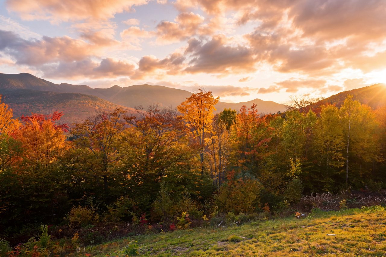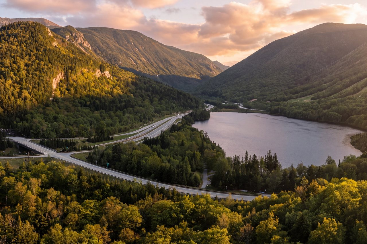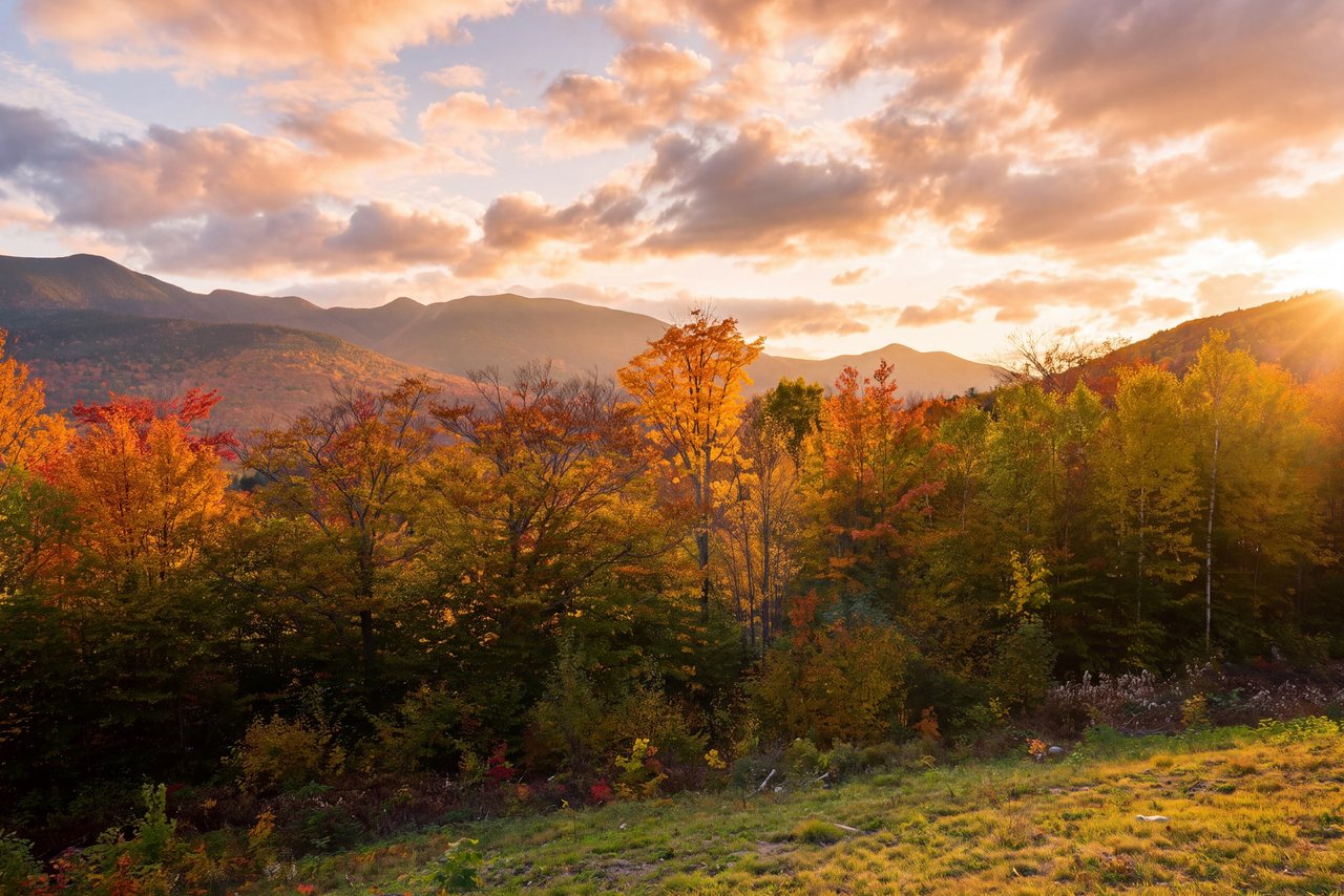
The Kancamagus Highway is the eastern run of New Hampshire Route 112. It leaves Lincoln, climbs over the mountains, and comes down into Conway about thirty-four miles later. There are no towns in between. No gas. No billboards. Just the White Mountain National Forest on both sides of the road, the Swift River for company most of the way, and a height of land at the top called Kancamagus Pass. People call it the finest foliage drive in the East. We won't argue.
The best part, for a guest here, is that it starts just down the road. You barely drive to the Kanc — the west end of it is minutes from the lodge. That changes how you use it. You can be up over the pass before the day-trippers reach the trailheads, and back in town for a late breakfast if you feel like it. Or you can give it the whole day and stop at every waterfall. Here is how we would think about it.
What the Kanc is
The road opened in 1959 and wasn't fully paved until 1964. It is named for Kancamagus, the last sagamore of the Penacook Confederacy and a grandson of Passaconaway. For a two-lane road through the mountains, it carries a lot of country: it runs along the southern edge of the Pemigewasset Wilderness, climbs to 2,855 feet at Kancamagus Pass, and runs the length of the Swift River on the Conway side.
The whole corridor is White Mountain National Forest, managed by the U.S. Forest Service. That is the reason it never grew a strip of motels or a filling station — nothing commercial was ever allowed in. About twenty-six of the thirty-four miles carry the official National Scenic Byway designation, but the numbers undersell it. What you notice is the quiet.
The stops worth making
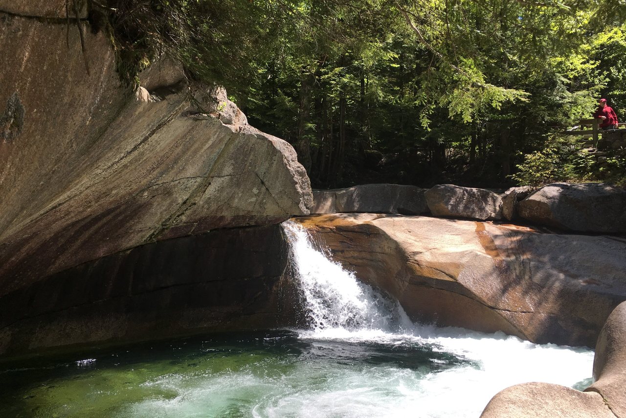
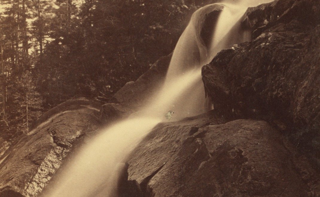
Sabbaday Falls is the easy one, and the one most people love. It is about a third of a mile in from the lot on a graded gravel path — 15 min at a stroll, almost no climb, doable for nearly anyone. The reward is a forty-five-foot waterfall that drops through a narrow rock flume into a green pool, with a railed platform set right over it.
Rocky Gorge and Lower Falls sit toward the Conway end, so they are the far stops from us. At Rocky Gorge a footbridge crosses the Swift River right where it squeezes into a slot and drops; a short path continues to Falls Pond, with about a mile of walking around it if you want more. Swimming in the gorge is not allowed, and the Forest Service means it. Lower Falls is broad ledges and pools on the river — a wading and picnic spot in warm weather.
The pull-offs matter too. Sugar Hill and the C.L. Graham Wangan overlook near the pass give you the long valley views, and the big hairpin on the west side looks back toward Mount Hancock. In foliage season you will want to stop at all of them and let the car behind you go around.
Parking, passes, and no gas
The road itself is free to drive. The lots at the falls, the scenic areas, and most trailheads are not — they are Forest Service recreation sites, and you need a White Mountain National Forest day-use parking pass to leave a car there. There are self-serve pay stations at the lots, and you can also buy a pass, including an annual one, at the ranger stations and visitor centers in town. It is a modest per-vehicle fee; check the Forest Service site for the current rate rather than trusting a number that goes stale.
Two practical notes. First, there is no gas anywhere on the Kanc, so fill the tank in Lincoln before you go. Second, restrooms exist only at the developed sites like Rocky Gorge, not along the road.
When to go
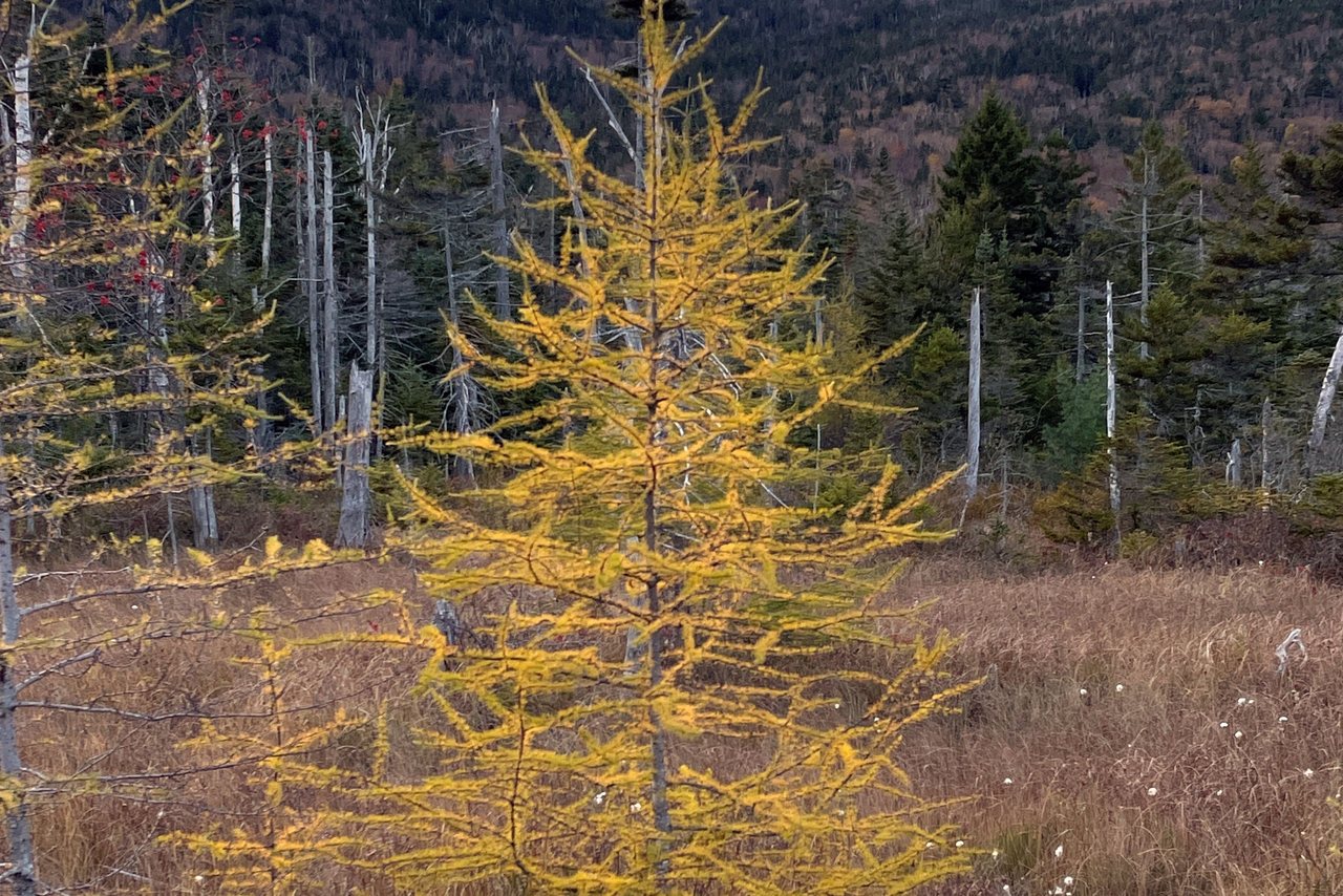
Fall is the headline, and it earns it. Color typically peaks from late September into October, though it moves year to year — check the state's foliage tracker before you lock in a date. That is also the busy stretch. The overlook and trailhead lots fill by mid-morning on weekends, so an early start is the whole game.
Summer is quieter and greener, and good for the river swimming holes. The road stays plowed and open through winter, but there are no services and the weather at the pass is real. If you drive it cold, go with a full tank, good tires, and no schedule.
How we'd play it from here
Because you start on the Kanc, you don't need much of a plan. In foliage season, be on the road by seven. Have coffee here first, drive up over the pass into the early light, walk in to Sabbaday Falls before the lots fill, and you will be back before most people have found parking. If you would rather take it slowly, give it the full day and run all the way to Conway and back, waterfall by waterfall.
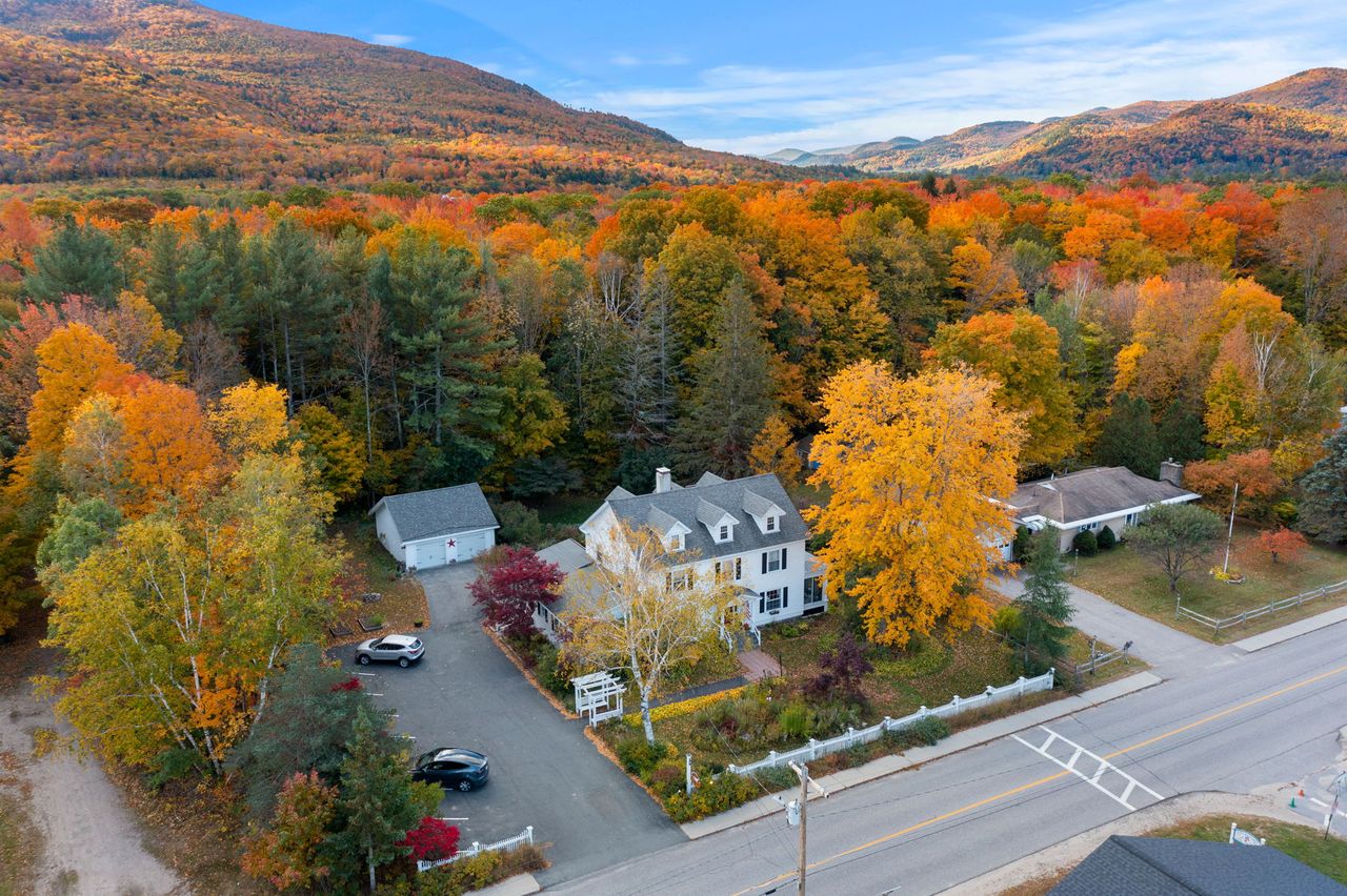
If you are choosing a room around this drive, the Hancock and Pemi suites both nod to it — Mount Hancock stands over the western hairpin, and the road runs right along the southern edge of the Pemigewasset Wilderness. Neither will get you up the pass any faster. But an early riser will want the quiet of the first light regardless, and this is a drive that rewards being first.
Where to stay for it
The Kanc starts at our end of Lincoln — you are on the west end of it before you have finished your coffee.
Fill the tank in Lincoln. There is no gas for the next thirty-four miles.
In foliage season, be on the road by seven. The overlook lots fill by mid-morning on weekends.
Buy the Forest Service parking pass in town or at the lot's self-serve station before you need it.
Sabbaday Falls is the short, sure thing — a third of a mile in, and back inside half an hour.
Sources & official info: nationalforests.org · kancamagushighway.com · fs.usda.gov · fs.usda.gov
— Launchpoint Lodge, From the lodge