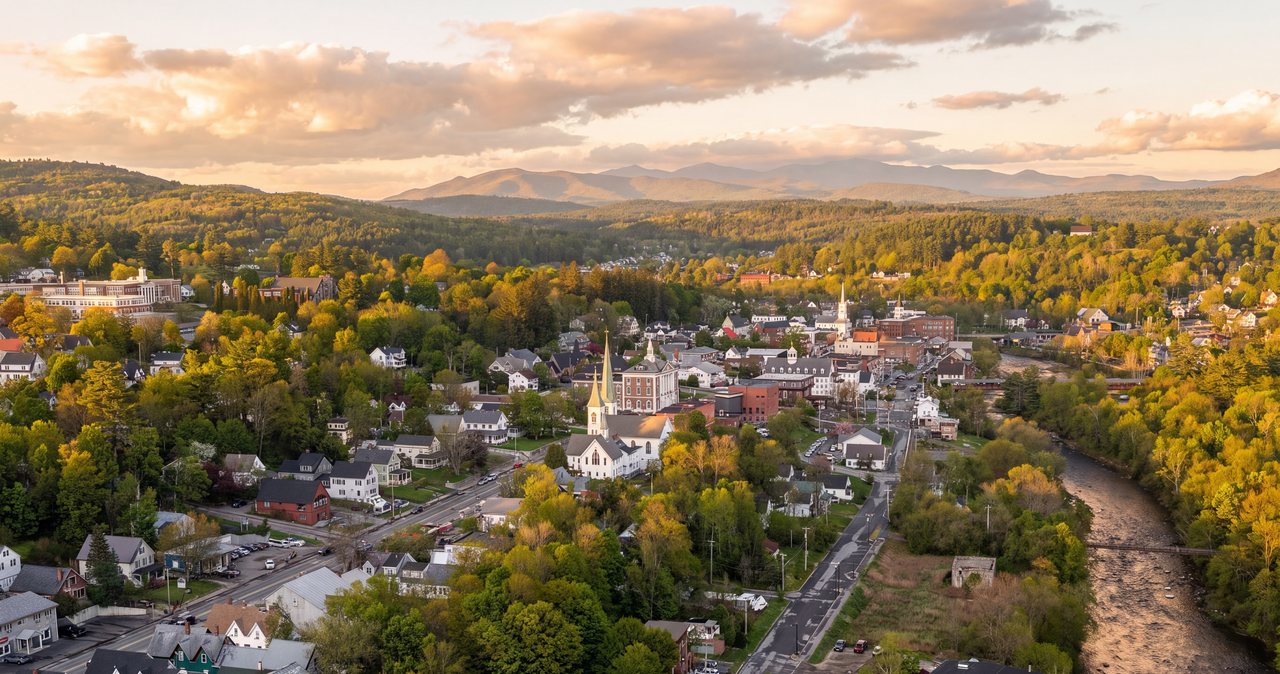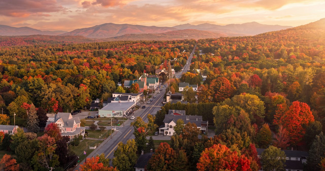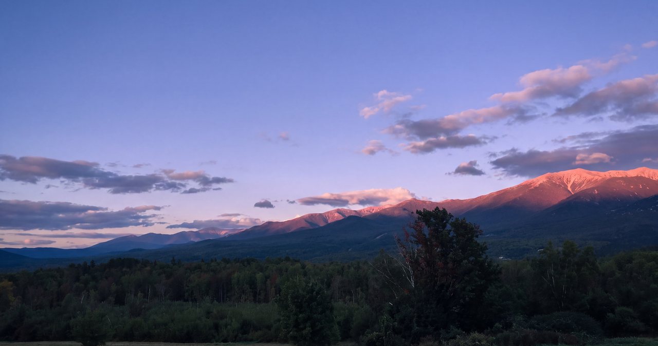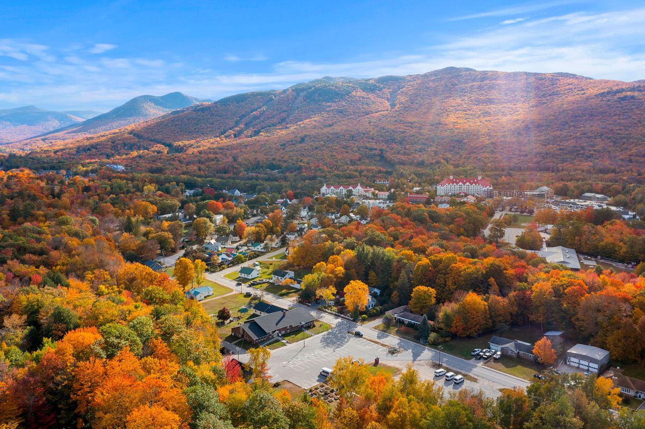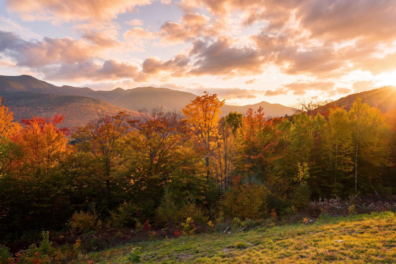
The White Mountains Trail is a road, not a footpath: a hundred-mile loop of state and federal highway that the federal government named a National Scenic Byway on June 9, 1998, because it strings together nearly everything people come to these mountains to see. It begins and ends at the White Mountains Visitor Center in North Woodstock, at Exit 32 of I-93, 5 min from our door, and runs counterclockwise: north on Route 3 through Franconia Notch, east on Route 302 past Bretton Woods and down through Crawford Notch, south on Route 16 through Jackson and North Conway, and west on Route 112, the Kancamagus, back to Lincoln.
Driven without stopping it is about three hours. Driven properly it is a full day, and a very good one, because the loop passes the Flume and the Basin, the Old Man plaza and Echo Lake, the grand hotel at Bretton Woods and the Cog Railway turn, the top of Crawford Notch with its depot and Elephant Head, the Willey House and the roadside cascades, the honeymoon bridge at Jackson, the village of North Conway, the Albany Covered Bridge, Rocky Gorge, Sabbaday Falls and the overlooks on the way up to Kancamagus Pass. Our guests who have one day for the whole region drive this, and the ones who have a week drive it on the rainy one.
This guide gives the loop in order with the stops that earn a stop, the time and fuel logistics, the foliage-season traffic pattern and how to beat it, and three shorter versions for a half day. Each stop links to our deeper page on it; this is the string, not the beads.
The route in one paragraph
From the visitor center at Exit 32, take I-93 north; through Franconia Notch the interstate becomes the two-lane Franconia Notch Parkway and carries the byway past the Flume, the Basin, Lafayette Place, the Old Man plaza and Echo Lake to Exit 35, where Route 3 leaves the highway and runs north through the woods to Twin Mountain. Turn right onto Route 302 east, pass Bretton Woods and the Cog Railway road, climb to the Crawford Depot at the top of Crawford Notch, and drop the whole length of the notch to Bartlett and Glen. At Glen turn onto Route 16 south through North Conway to Conway, then right onto Route 112, the Kancamagus, for the thirty-four-mile climb over the pass and down to Lincoln. About a hundred miles, no tolls, one gas gap.
Leg one: Franconia Notch, twelve miles of the best of it
The first leg is the notch, and it could take the whole morning. The Flume Gorge at Exit 34A is the ticketed walk through the 800-foot chasm, two hours if you do it; the Basin, a mile north, is the free granite pothole and a 10 min walk from either side of the parkway. Lafayette Place is the trailhead hub for the Franconia Ridge and Lonesome Lake, full by eight on weekends. The Old Man of the Mountain plaza at Exit 34B looks up at the cliff where the profile fell in 2003, with Profile Lake below; Echo Lake at Exit 34C has the beach, the boat rental and the view up at Cannon and Lafayette; and the Cannon tramway base is there too, though the tram is retired and no reopening date has been announced.
Pick two. Our Franconia Notch State Park guide sorts them; on the loop, the Basin and the Old Man plaza are the quick ones and the Flume is the long one.
Leg two: Route 3 to Twin Mountain and Route 302 to Bretton Woods
North of the notch, Route 3 leaves the interstate at Exit 35 and rolls ten quiet miles through Bethlehem's woods to the crossroads village of Twin Mountain, which has gas, a general store and little else; fill up here if the tank is under half, because the next reliable gas is in Glen or North Conway. Turn right on Route 302 and the Presidential Range comes into view across the Ammonoosuc valley. Bretton Woods is the wide meadow with the great red-roofed Mount Washington Hotel, open since 1902 and worth a stop on the veranda for the view of the range; the Cog Railway's base road leaves Route 302 here for the six-mile drive to the base station, which our Cog guide covers and which is a half day of its own.
Leg three: Crawford Notch, from the depot to the Willey House
Route 302 climbs gently to the height of Crawford Notch, where the 1891 Crawford Depot houses the AMC's information center and Saco Lake sits beside the road; Elephant Head, the 10 min ledge walk over the Gate of the Notch, starts here, and Mount Willard's trail leaves from the depot. Then the road drops through the notch itself, one of the great mountain miles in the East, with the Webster Cliffs above the left shoulder and the Silver and Flume Cascades falling beside the road on the right, each with a pull-off.
Farther down, the Willey House site marks the 1826 landslide that killed the Willey family and made the notch famous, with restrooms, a small store and the state park's information booth in season. The Arethusa Falls road and the Davis Path lot follow, then the notch widens toward Bartlett. Our Crawford Notch hikes, Willard, Avalon, Arethusa, Crawford and the Nancy Cascades, all start on this stretch, and any one of them turns the drive into a two-day trip.
Leg four: Bartlett, Glen, Jackson and North Conway
Route 302 follows the Saco past Bartlett, where Bear Notch Road climbs south to the Kancamagus as a shortcut that cuts the loop by twenty miles, and reaches Glen and the junction with Route 16. A three-mile detour north on Route 16 and 16A brings you through the Honeymoon Covered Bridge of 1876 into the village of Jackson, with Jackson Falls a few hundred yards up the hill; it is the prettiest village on the loop and the natural lunch stop. Back at Glen, Route 16 runs south through North Conway, the region's shopping and railroad town, with the 1874 station and the Conway Scenic Railroad, the outlet strip, and the ledges of Cathedral and Whitehorse above Echo Lake State Park on the west side of the valley.
Leg five: the Kancamagus, thirty-four miles home
In Conway village turn west onto Route 112 and the Kancamagus begins: thirty-four miles to Lincoln with no gas, no food and no signal, climbing along the Swift River to the 2,855-foot pass and dropping down the Hancock Branch to town. The stops come in order: the Albany Covered Bridge and the Boulder Loop on Passaconaway Road, Lower Falls and its swimming rocks, Rocky Gorge with its footbridge and no-swimming rule, the Russell-Colbath historic house, Sabbaday Falls with its easy gravel walk, the climb past the Sugar Hill overlook to Kancamagus Pass and the C.L. Graham Wangan overlook, then the Hancock and Pemigewasset overlooks on the descent, the hairpin, Greeley Ponds trailhead, Lincoln Woods and Loon. In the late afternoon light, westbound, this is the best-timed leg of the loop.
Our Kancamagus Highway guide covers every one of these with times; Sabbaday and Rocky Gorge have pages of their own. Fill the tank in Conway if you skipped Twin Mountain.
Timing, fuel and the foliage problem
Plan on six to eight hours with stops, three without. Gas is available in Lincoln and North Woodstock at the start, Twin Mountain, Bartlett and Glen, and North Conway and Conway; there is none in either notch or on the Kancamagus, and the two gaps, Lincoln to Twin Mountain and Conway to Lincoln, are each about thirty-five miles. Restrooms are at the Flume, the Basin, Lafayette Place, the Crawford Depot in season, the Willey House, Jackson, North Conway and the Kancamagus recreation sites. Cell service is absent for most of both notches and all of the Kancamagus; download the map.
In the first two weeks of October the loop is the most popular drive in New England, and by late morning Route 302 through Crawford Notch and the Kancamagus move at a crawl, with the Albany bridge and the overlooks jammed. The fix is to start at dawn and drive it clockwise, Kancamagus first while the eastbound crowds are still at breakfast, Crawford Notch at midday, and Franconia Notch in the late afternoon as the day-trippers head south; you will meet the traffic coming the other way and pass it. Weekdays are half the traffic of weekends.
Shorter versions
The Bear Notch shortcut: drive the loop as far as Bartlett, then take Bear Notch Road south over its ridge to the Kancamagus near Passaconaway and turn west for home, about eighty miles in all and the whole of both notches without the Conway traffic; the road is gated in winter. The two-notch half day: north through Franconia Notch, over to Crawford Notch as far as the Willey House, and back the same way, about seventy miles with the best scenery and none of the shopping. The Kancamagus out-and-back: east to the Albany bridge or Conway and home, seventy miles, covered in our Kancamagus guide.
Winter
The loop is drivable all winter; every road on it is plowed, though the Kancamagus overlook lots are not always cleared, Bear Notch Road is gated, and both notches can close for storms. The Flume, the Willey House booth and most of the seasonal stops are shut, the tramway is closed regardless, and the Cog runs a shortened winter schedule, so the winter loop is about the drive itself: bare birches, white summits, empty pull-offs and the notch walls in snow. Check New England 511 before you go and carry winter tires; our winter driving post has the rest.
Where to stay
The byway's official start is 5 min from our door, which makes the lodge the natural base for it: leave after breakfast with a full tank, drive the loop in either direction, and be back for dinner in North Woodstock. Guests with two days split it at Jackson or North Conway and come home over the Kancamagus the next afternoon, with a Crawford Notch hike in between.
We keep the visitor center's byway map and our own stop list in the digital guidebook, with the current word on the Flume's season, the Cog's schedule and any road closures. In October, message us the night before to ask which way the traffic is running; it changes with the weather forecast.
Useful links
- White Mountains Visitor Center: the byway's start
The regional attractions association's map and stop list for the byway. - National Scenic Byway Foundation: White Mountain Trail
The designation and the official route description. - New England 511 road conditions
Closures and winter conditions on Routes 3, 302, 16 and the Kancamagus before you leave. - Our Franconia Notch State Park guide
The first leg's stops sorted, from the Flume to Echo Lake. - Our Kancamagus Highway guide
Every overlook and stop on the thirty-four miles home. - Our Mount Washington Cog Railway guide
The half-day detour from Bretton Woods to the top of the range. - Our Elephant Head and Mount Avalon guide
The 10 min ledge and the two-hour summit at the top of Crawford Notch. - Our covered bridges guide
The Albany, Honeymoon and Conway bridges the loop passes, with years and lengths.
Sources & official info: nsbfoundation.com · visitwhitemountains.com · fs.usda.gov · nhstateparks.org
— Launchpoint Lodge, From the lodge