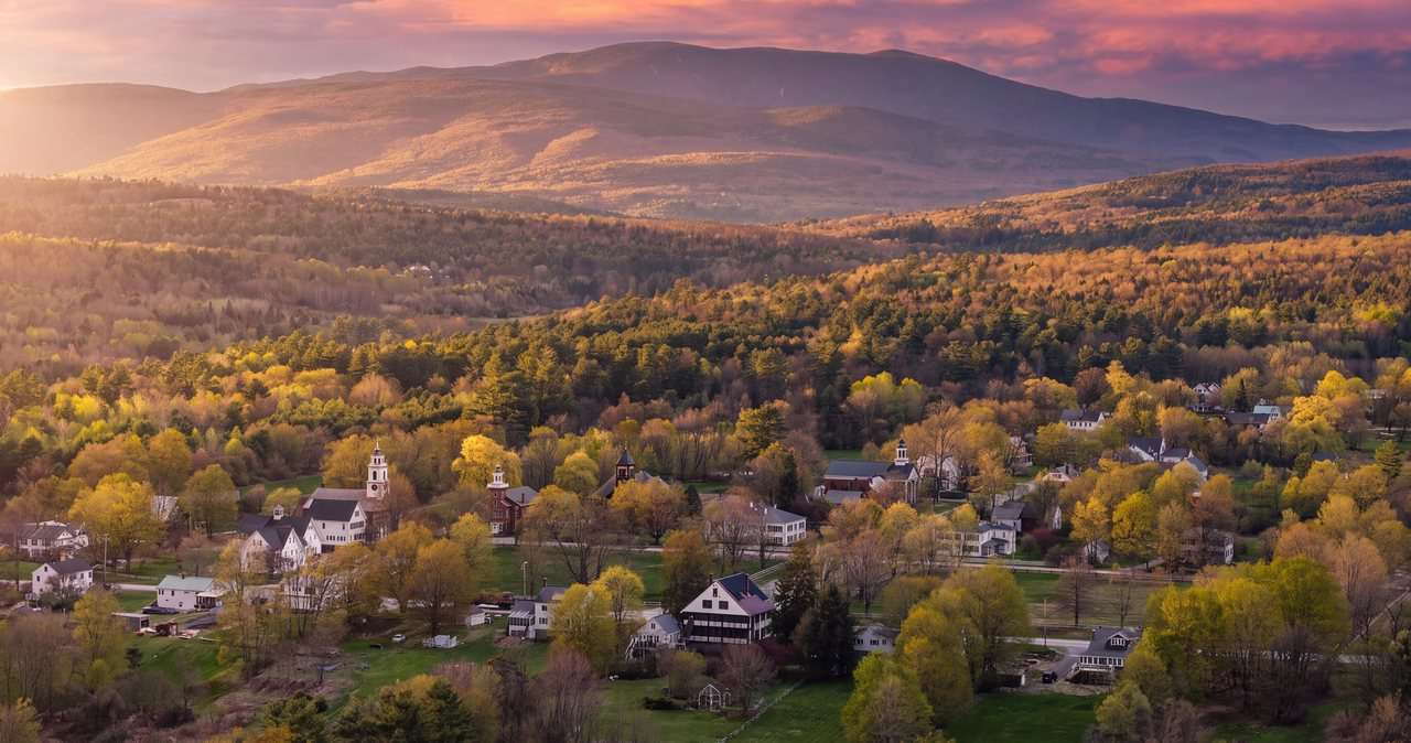
Drive west from Lincoln over Kinsman Notch and the country changes: the notches and the big peaks fall behind, and the land opens into the farm valleys along the Connecticut River. Black Mountain in Benton stands on that edge, a 2,830-foot mountain with a summit of open ledge that looks east across the Oliverian valley at the enormous west face of Mount Moosilauke, and west over Woodsville and the river to the Green Mountains of Vermont. The Chippewa Trail climbs it from Lime Kiln Road in about a mile and three-quarters, steep in places and open early, so that the view begins long before the top.
It is a hike people who live here save for themselves. The trailhead is small, the lot rarely fills, and on a summer weekday you may have the summit alone. It is also a hike with a story at the bottom: a few minutes from the trailhead, a signed detour leads to two stone lime kilns built in 1838 and 1842, the remains of an industry that burned limestone quarried on the neighboring mountain for fifty years and shipped it out by rail. A kiosk tells the tale.
This guide covers the trail, the ledges and the summit, the kilns, the trailhead and how to find it on the back roads of Benton and Haverhill, the fee question, blueberry season, and how to do it safely in each season. The drive from the lodge is about 40 min by way of Kinsman Notch, which is a scenic drive in its own right.
The numbers
The Chippewa Trail is about 1.7 to 1.8 miles from the trailhead to the summit, so 3.4 to 3.6 miles round trip, with roughly 1,550 to 1,590 feet of elevation gain. The trailhead sits near 1,250 feet; the summit is 2,830 feet. Most people take two and a half to three and a half hours with time on the ledges, and the grade is steep enough in the middle section that the hike earns its moderate rating despite the short distance.
The climbing is front-loaded and easy to read: a gentle start, a steep middle through the woods and up the first ledges, then an easing of the grade across open rock to the top. There is no scrambling, but the ledges are sloping bare rock that is slick when wet, and the trail crosses them on cairns and paint blazes rather than a worn tread.
Finding the trailhead on Lime Kiln Road
The Chippewa Trail begins on Lime Kiln Road, a rural road that runs between NH Route 116 in Benton and NH Route 25 in East Haverhill. From Lincoln the simplest approach is NH Route 112 west through North Woodstock and over Kinsman Notch past Beaver Pond, then right onto Route 116 north toward Benton, and then onto Lime Kiln Road, following it to the signed trailhead parking area on the right. The lot is a small gravel pull-in with room for perhaps a dozen cars, and it very rarely fills.
The Chippewa trailhead keeps things simple, with no fee kiosk in 2026 and no toilet or water. Carry a White Mountain National Forest recreation pass in the car in case the signs change, and use the facilities in North Woodstock before you leave. Cell service is thin from Kinsman Notch on; download the map before you go, because the back roads of Benton are easy to get turned around on.
The lime kilns: a 5 min detour into the 1830s
A short way up the trail a signed path leaves the route and leads in a few minutes to the Black Mountain lime kilns, two large stone furnaces built into the hillside. Limestone was discovered in 1837 at the base of Sugarloaf Mountain, Black Mountain's neighbor to the south, and Chester Spooner built the first kiln in 1838 and a second in 1842. For roughly fifty years the kilns burned quarried limestone into lime for mortar, plaster and fertilizer, fueled by the surrounding forest and shipped out on the Concord, Boston and Montreal Railroad from the valley below.
The kilns are remarkably intact for their age, and an interpretive kiosk beside them explains the process and the people. They are one of the better-preserved pieces of nineteenth-century industry in the White Mountains and worth the detour on the way up, when your legs are fresh and the light is on the stonework.
The trail: woods, then a mile of ledge
Above the kiln detour the Chippewa Trail climbs steadily through mixed hardwoods, with the grade steepening as it works up the mountain's west side. The footing is typical of the region, roots and rock with a few built steps, and there is little water on the trail; carry what you need. Around a mile up, the woods begin to break and the first ledges appear, with views opening to the south and west over the farms of Haverhill and Benton toward the Connecticut River and Vermont.
From here the character of the hike changes completely. The upper half mile climbs across open ledge broken by patches of scrub oak, pine and blueberry, following cairns and blazes over the rock, with the view widening at every step. On a clear day this stretch is the best part of the mountain, sunny and open with Moosilauke growing larger ahead, and it is also the stretch to take slowly when the rock is wet.
The summit and the view of Moosilauke
The top of Black Mountain is a broad area of open ledge at 2,830 feet with room to spread out and views in most directions. The great sight is east: the whole west face of Mount Moosilauke, 4,802 feet, fills the view across the valley, with the ravines and the long summit ridge laid out like a relief map, and the Kinsman Range beyond it to the northeast. To the west the land drops to Woodsville and the Connecticut River, and the Green Mountains of Vermont line the horizon. South are the low hills of the Oliverian valley and the Baker River country.
It is a summit for lingering in good weather, with dry rock to sit on and no trees to block the light. It is also an exposed one: wind comes straight across the valley from the west, and there is no shelter on the ledges when a storm arrives.
Blueberries, and when to come for them
The open upper ledges of Black Mountain are thick with low-bush blueberries, and from late July into the middle of August the mountain draws people who come as much for the berries as the view. Pick what you eat and a little more, leave plenty for the birds and the bears that depend on them, and watch your footing: the best bushes grow at the edges of the ledges where the rock slopes away.
Seasons
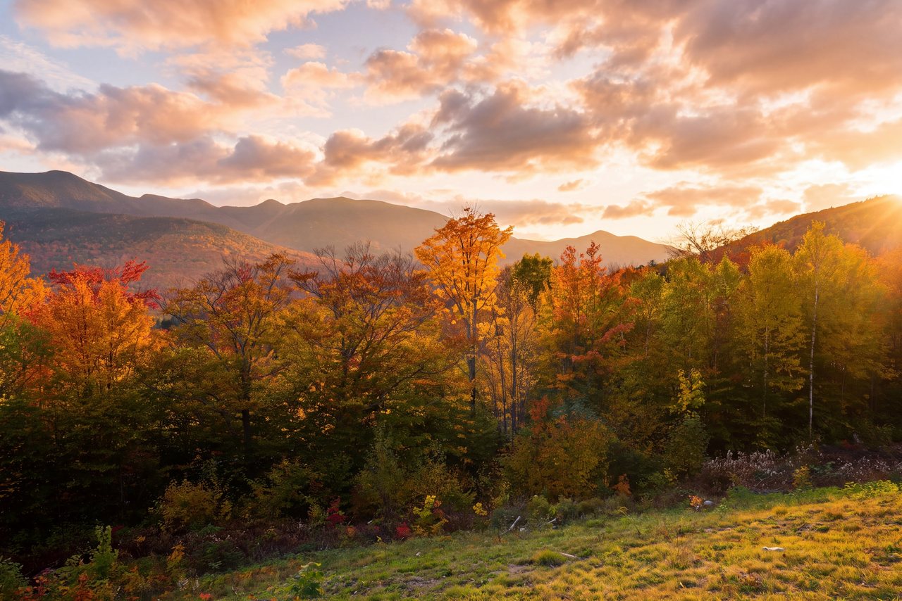
Late spring through fall is the season, and this is one of the better early-season summits in the region because it faces west and south and dries out sooner than the notch trails. Late September into early October brings color to the hardwood lower slopes and the farm valleys below, and the western view across the river country in foliage is as good as anything on the Kancamagus with a fraction of the traffic.
In winter the trail is a good snowshoe and the summit ledges are a fine, cold perch, but the open rock ices and crusts and the wind off the valley is bitter. Carry microspikes and snowshoes both, and keep off the sloping ledge edges when they are glazed. Mud season, April into early May, is wet and slippery on the steep middle section.
Who this hike is for
Anyone who wants a big summit view without a big mountain, and without the crowds of Franconia Notch: a half-day climb with a long, open finish and one of the finest looks at Moosilauke anywhere. Couples who like sunny rock for lunch. Photographers, especially late in the day when the light comes from the west and Moosilauke glows. People curious about local history, for the kilns.
It is not a walk; the middle section is steep and the ledges are real. For a gentler western outing, Beaver Pond and the Beaver Brook Cascades at Kinsman Notch are on the way.
What to carry
Water for a half day with almost none on the trail, food for the summit, a windproof layer for the exposed ledges, sun protection in summer because the upper half mile is open rock, and boots or shoes with real grip for the sloping ledge. Poles help on the steep descent. From October on, microspikes; in winter, snowshoes as well. Bug protection in June along the wooded lower trail.
Cell service is unreliable west of Kinsman Notch. Download the map, leave your plan with someone, and consider the $25 hikeSafe card; New Hampshire can bill for a rescue caused by negligence under RSA 206:26-bb.
Safety & conditions
- The upper half mile is sloping open ledge that is slick when wet, dewy or iced, and the edges drop away steeply in places. Follow the cairns and blazes, keep off the rock edges, and go slowly on the descent, where most slips happen.
- The summit is fully exposed to wind and lightning with no shelter. Check the forecast, carry a windproof layer even in summer, and leave the ledges at the first sign of a thunderstorm.
- There is almost no water on the trail. Carry at least a liter and a half per person, more in summer heat, when the open rock bakes in the afternoon sun.
- In winter the ledges glaze with ice and crust and the wind off the Connecticut valley is bitter. Carry microspikes and snowshoes, dress for exposed rock, and turn around if the upper ledges are iced beyond your gear.
- Blueberry pickers share the ledges with black bears in August. Make noise, keep food packed away, and give a bear the berries and the ledge; it was there first.
- Cell service is thin west of Kinsman Notch, and this is a quiet, self-serve trailhead. Download a map, leave your plan with someone, and consider the $25 hikeSafe card; New Hampshire can bill for a rescue caused by negligence under RSA 206:26-bb.
- The back roads of Benton and Haverhill are easy to confuse. Set your navigation before you leave North Woodstock, where the signal is still good.
Where to stay for it
The drive is half the pleasure. From 191 Pollard Road take Route 112 west through North Woodstock and up the Lost River valley into Kinsman Notch, past the Lost River Gorge and the Beaver Brook Cascades trailhead, over the height of land at Beaver Pond, and down the far side to Route 116. Turn right toward Benton and follow the signs to Lime Kiln Road and the Chippewa trailhead. Allow 40 min, and set your directions before you leave town.
Because the hike is a half day, our guests make it part of a western loop: Black Mountain in the morning, the Lost River Gorge or a swim at Beaver Pond on the way back, and dinner in North Woodstock. Or they continue north on Route 116 through Easton to Franconia and come home over Franconia Notch, a full circle around the Kinsman Range.
In blueberry season, leave early. Not for the lot, which rarely fills, but for the berries, which the birds start on at dawn.
Useful links
- White Mountain National Forest: alerts and recreation passes
Trail alerts for the western districts and the current pass prices. - Mount Washington Observatory higher-summits forecast
Black Mountain is low, but its open summit catches the same wind as the peaks; read the forecast. - hikeSafe: the code and the card
The six-point hiker responsibility code and the $25 / $35 voluntary card. - Our Mount Moosilauke guide
The 4,802-foot mountain that fills the view from Black Mountain's summit. - Our Lost River Gorge guide
The boardwalk gorge and caves you pass on the drive over Kinsman Notch. - Our Beaver Brook Cascades guide
The steep waterfall trail at Kinsman Notch, on the way to Benton.
Sources & official info: alltrails.com · summitpost.org · nhliving.com · haverhill-nh.com · fs.usda.gov · hikesafe.com
— Launchpoint Lodge, From the lodge