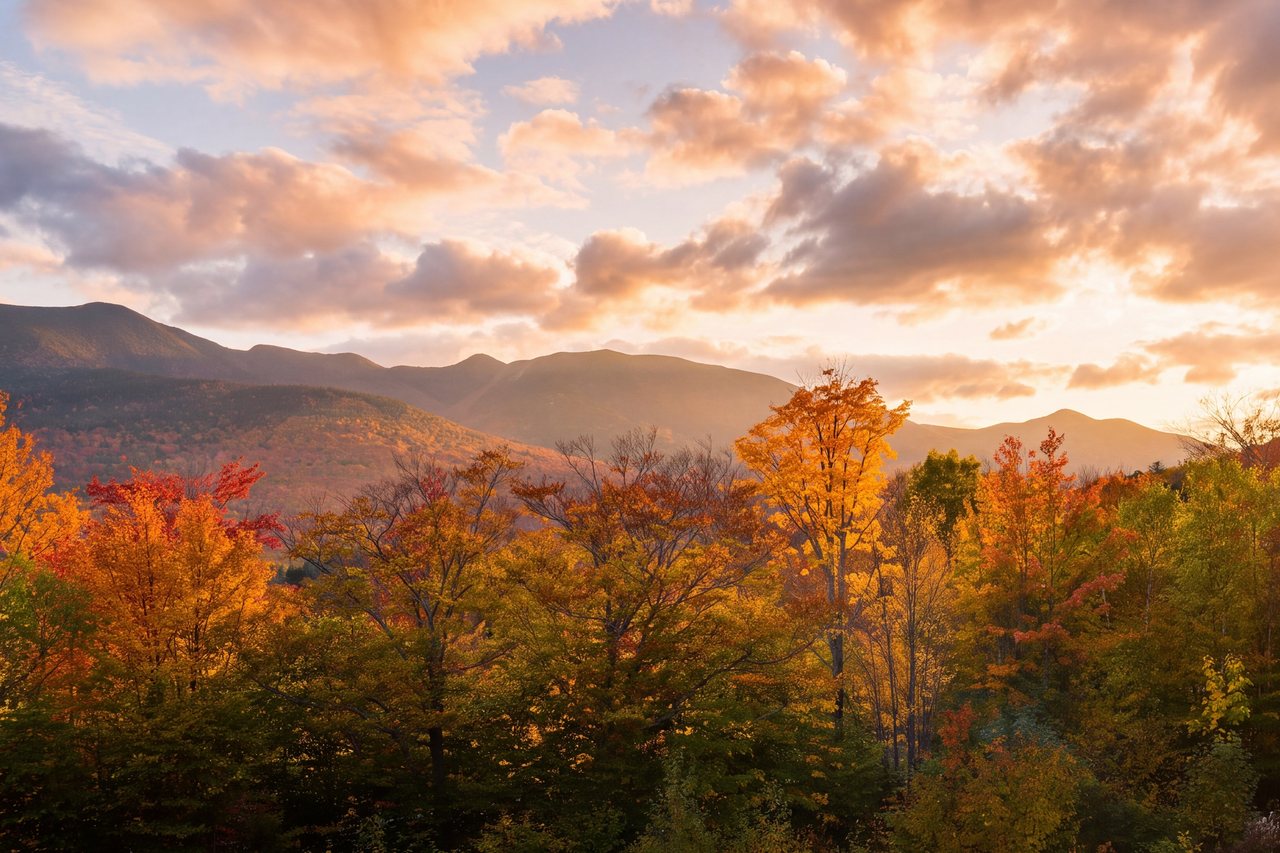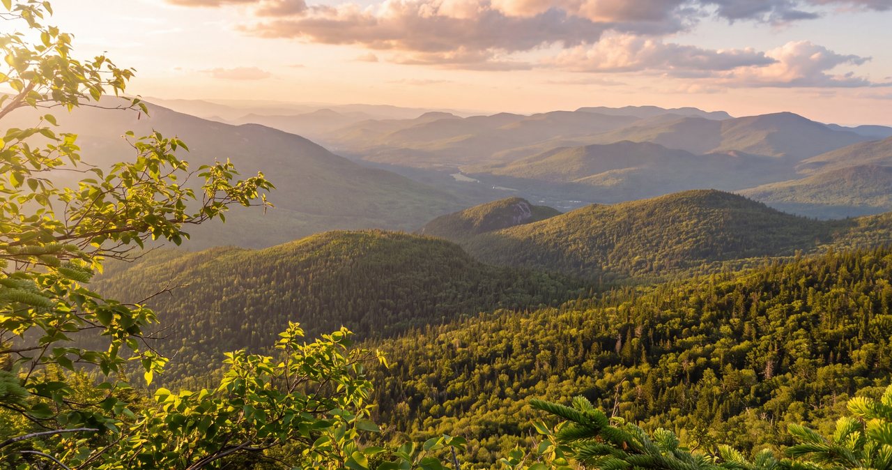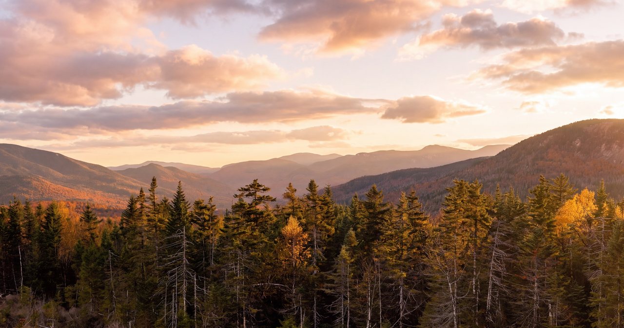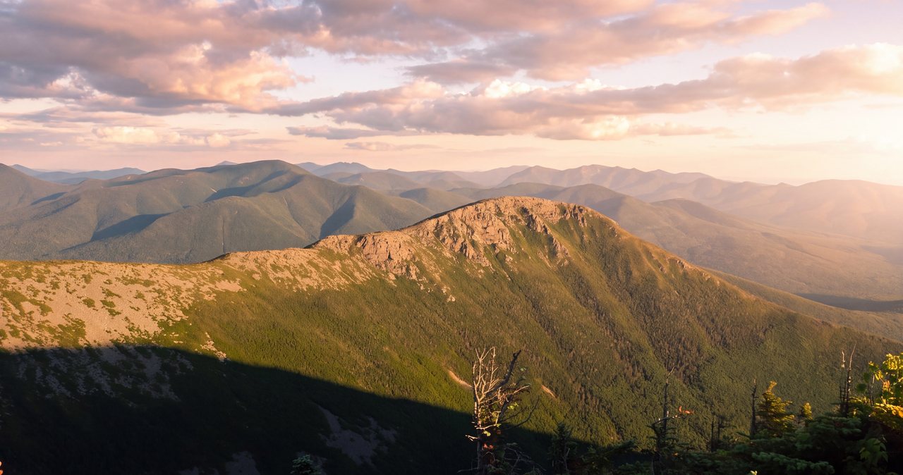
The Bonds are the peaks people talk about when they talk about how big and empty the White Mountains still are. Bondcliff, Mount Bond, and West Bond are three 4,000-footers strung along a high ridge in the dead center of the Pemigewasset Wilderness, eight to eleven miles of walking from the nearest trailhead depending on which way you come in. There is no short way in. The standard trip is a huge out-and-back of about 22 to 23 miles from the Lincoln Woods trailhead, which in a normal year sits about 9 min east of our front door on the Kancamagus Highway. What you get for the mileage is the best of it: the summit of Bondcliff is widely called the finest viewpoint in the range, a bare shelf of rock with a 360-degree look over roadless wilderness and almost no sign of people in any direction.
Here is the practical shape of the day so you can plan against it and not your hopes. The first 4.7 miles from the trailhead are nearly dead flat, on the bed of an old logging railroad, and they lull you - you gain barely 450 feet before the real climbing starts. Then the Bondcliff Trail turns up, crosses a brook a few times, and hauls you the rest of the way to the open summits, with a genuine mile of above-treeline walking between Bondcliff and Mount Bond that is the reason to come and, in bad weather, the reason to stay home. Most people do the Bonds as one very long day, which means starting before dawn and finishing tired; the standard book time for the round trip is close to fourteen hours. A fair number split it into a backpacking trip with a night high on the ridge instead.
There is one 2026 planning fact that changes how you get there, and it goes right up front because the apps are slow to catch it. The Lincoln Woods Trail - the flat start that every classic Bonds route uses - has a 1.4-mile section closed from June 15 into November 2026 for riverbank work, and the Forest Service names the Bonds specifically as a hike that needs an alternate route this season. The good news is that, unlike some closure-affected peaks, the Bonds have a good detour: a northern approach from the Zealand trailhead that is fully maintained, has no big river fords, and reaches the same summits. Our Pemi suite is named for this wilderness, and we follow the access closely - read the 2026 section below before you point the car anywhere.
The case for the Bonds
People walk all day to reach the Bonds for a straightforward reason: they are three of the most scenic 4,000-footers in New Hampshire, and the payoff is real in a way that some of the deep-wilderness peaks are not. The centerpiece is Bondcliff. Its summit is an open shelf of rock hung above the wilderness, with a 360-degree view over the Pemigewasset and virtually no road, building, or cut in sight - which is close to impossible to find east of the Mississippi. It is routinely called the best viewpoint in the White Mountains, and standing there, that is an easy claim to believe.
There is also the ledge. A little below the true summit of Bondcliff, a prow of rock juts out over the drop, and it is the spot half the peakbaggers in New England have had their photo taken - one hiker out on the point with West Bond and Mount Bond stacked up behind. It has become a rite of passage for people working through the 48, and it is worth the few careful steps out to see why. We will not put words in anyone's mouth about it; go stand there in good weather and it explains itself.
What sets the Bonds apart from the other far-flung peaks is that the remoteness and the reward line up. You earn these summits with distance, not with a viewless slog: the walking between Bondcliff and Mount Bond is open, alpine, and enormous, West Bond is a short spur to one of the great perches in the range, and Mount Bond itself at 4,698 feet is the high point with the biggest sweep of all. This is not a mountain you tag and forget. It is one people come back to.
Set your expectations at the right size, though. The Bonds are a full, committing day or an overnight, eight to eleven miles from the nearest trailhead depending on the approach, deep in country with no cell service and no quick way out. They are a poor choice for a first 4,000-footer and a bad place to find out you are not fit for the mileage. Come with some long White Mountain days already behind you, respect the length and the weather, and the Bonds are one of the best trips in the East.
The 2026 access reality: the Lincoln Woods closure and the Zealand fix
This is the single most important planning fact for the Bonds in 2026, so it goes first. A 1.4-mile section of the Lincoln Woods Trail - from the Kancamagus Highway (Route 112) at the trailhead up to the Osseo Trail junction - is closed from June 15 into November 2026 while the Forest Service stabilizes an undercut, eroded section of riverbank that was first damaged in Hurricane Irene and has kept washing out through the floods since. There is heavy equipment on site, so it is a hard closure, not a step-around, and it is exactly the stretch every classic Bonds route uses to get started. The Forest Service and the Appalachian Mountain Club name the Bonds, along with Guyot, Owl's Head, 13 Falls, and the Camp 16 area, as destinations that need an alternate route this season.
What stays open at Lincoln Woods is the parking lot, the restrooms, the big suspension bridge over the East Branch, and the East Side Trail on the far bank. What does not exist is a clean walk-around: the East Side Trail runs up the east side of the river, and there is no maintained bridge back across the East Branch to the Wilderness and Bondcliff trails on the west side - the old suspension bridge that once linked the banks deep in the wilderness, on the Thoreau Falls Trail, was removed years ago and never replaced. Some experienced parties do bypass the closure by walking the East Side Trail and then fording the East Branch, but that adds a full crossing of the biggest water on the route and is a low-water, strong-navigator move only. It is not the answer we would point most people to.
The answer for the Bonds is to come at them from the north, and here is why this closure is less painful for these peaks than for some others: the northern approach is a real, maintained, ford-free trail, not a bushwhack. From the Zealand trailhead you follow the Zealand Trail, the Twinway over Mount Guyot, and the Bondcliff Trail to the summits - the Appalachian Mountain Club lists it at about 7.3 miles to Guyot and about 8 miles one way to West Bond, and it is served by the AMC hiker shuttle. The North Twin and Gale River trailheads on the Route 3 side are the other maintained options, each about 8.2 miles to Guyot. The next section covers the Zealand route in detail, because for 2026 it is the one to plan around.
Two catches to hold in your head. First, the classic point-to-point Bonds traverse - in from Zealand, out to Lincoln Woods, or the reverse - does not work in 2026, because the Lincoln Woods end is the closed end; this season the northern approach is an out-and-back or a backpack, not a through-hike. Second, the Zealand trailhead sits on a seasonal road that gates in the cold months, so it is not a year-round substitute. The Forest Service is targeting a reopening of the Lincoln Woods section after the November 2026 work window, which would restore the classic start for 2027 - but treat that as a goal, not a promise, and confirm the current closure and road status on the Forest Service and AMC websites the week before you go.
The numbers
Measured the standard way - out and back from Lincoln Woods, tagging all three summits - the Bonds run right around 22 to 23 miles, and the published elevation-gain figures spread out more than you would like. You will see everything from about 4,500 feet to about 5,550 feet depending on whose GPS did the counting and how it handled the ups and downs on the return over the ridge. Call it roughly 4,500 to 5,500 feet, and understand that the exact figure matters far less than the distance: this is a very long walk first and a climb second. The Appalachian Mountain Club book time for the round trip works out to close to fourteen hours of moving.
The shape of the day is the thing to internalize, because it fools people. The first 4.72 miles from the trailhead, on the Lincoln Woods Trail and then the Wilderness Trail, follow the bed of a logging railroad that last ran in the 1940s - flat, wide, and easy, gaining only about 450 feet. Then the Bondcliff Trail leaves the Wilderness Trail and does the work: about 4.4 miles that cross Black Brook a few times, climb steadily, and then steeply, and finally break out of the trees onto Bondcliff. From Bondcliff it is about 1.2 miles north to Mount Bond, mostly in the open, and West Bond is a spur of roughly half a mile each way off the ridge between them.
The elevations are worth carrying in your head, because knowing where the high, exposed ground sits is a safety matter. Mount Bond is the high point at 4,698 feet, West Bond is 4,540 feet - some sources print about 4,520 - and Bondcliff is 4,265 feet. None of these is as high as the 5,000-foot summits of nearby Franconia Ridge, and it is a mistake to read that as easier: the Bonds are more remote, the weather is the same weather, and the mile of open ridge between Bondcliff and Bond is exposed ground a very long way from shelter.
So file the Bonds as very strenuous, and by accumulation rather than by any single hard move. There is no technical climbing - the crux is a short, chest-high rock step just below Bondcliff's summit that able hikers handle with their hands on dry rock. What makes it serious is the sum: 22-plus miles, an open above-treeline stretch, real remoteness with no quick bailout, and a day long enough that many people finish in the dark. If you have not comfortably done a shorter, closer 4,000-footer first, do that before you take on the Bonds.
The route, peak by peak, in a normal year
In a normal year - and for reference when the trail reopens - the standard Bonds hike goes like this. From the Lincoln Woods trailhead on the Kancamagus you cross the suspension bridge over the East Branch and walk the Lincoln Woods Trail north up the west bank on the old railroad grade. It is flat and easy for miles. At the Pemigewasset Wilderness boundary near Franconia Brook the path becomes the Wilderness Trail and continues on the same gentle grade to the Bondcliff Trail junction at about 4.72 miles. That whole first stretch is the flat railroad walk, and it is where you make time while your legs are fresh.
At the junction the Bondcliff Trail turns off and the character changes. It climbs steadily on old logging roads, crosses Black Brook a few times - usually an easy rock hop, more on that below - and then works up more steeply through the trees. Near the top it breaks out onto open rock, and the last pull to the summit of Bondcliff includes the famous move: a short, chest-high rock step you hoist yourself up, exposed enough to respect but not technical on dry rock. Above it, the summit shelf and the prow ledge open up the whole wilderness. This is about 9.1 miles in, and for many people it is the emotional summit of the trip even though it is the lowest of the three.
From Bondcliff the trail runs north to Mount Bond, about 1.2 miles, and this is the walking people remember: largely above treeline, along a ridge with the ground falling away, big views the entire way. Take it seriously in wind - the west side of this stretch is a long run of steep edges, and it is exposed to whatever the sky is doing. Mount Bond at 4,698 feet is the high point and arguably the biggest single view on the route, a full circle of wilderness and distant summits.
West Bond is the short spur that most people would not skip - roughly half a mile each way off the connecting ridge to a perch that hangs out over the Franconia Branch valley, looking straight back at Bondcliff and across to Owl's Head and Franconia Ridge. Then you turn around and walk all of it back: over Bond, down past Bondcliff, and out the long flat railroad grade to the bridge and the car. The Bonds are an out-and-back with no loop and no real bailout, which is the fact that should govern your decisions all day - everything you walk past on the way in, you have to walk back.
The Zealand northern approach: the 2026 route in detail
For the summer and fall of 2026, plan on the Zealand approach, because it is the maintained, ford-free way to the Bonds while Lincoln Woods is closed. It starts at the Zealand trailhead at the end of Zealand Road (Forest Road 16), off Route 302 on the north side of the mountains. The Zealand Trail runs about two and a half easy, often wet miles past beaver ponds to the area of Zealand Falls Hut, and then the Twinway takes over and climbs - past the Zeacliff outlook, up and over the open dome of Mount Guyot at about 4,580 feet, to the junction with the Bondcliff Trail. From there you drop south onto the ridge and out to Mount Bond, West Bond, and Bondcliff.
Be straight with yourself about the trade you are making. The Zealand approach is not the flat railroad walk of the Lincoln Woods route - it climbs a real up-and-down ridge, goes over Mount Guyot's exposed dome, and stacks up more sustained elevation gain on the way in and out. The Appalachian Mountain Club lists it at about 8 miles one way to West Bond, which makes a full out-and-back to the Bonds and back a genuine long day in the low twenties of miles, comparable to the closed Lincoln Woods route but with more climbing and no fords. The North Twin and Gale River trailheads are the other maintained northern options, each a bit longer at about 8.2 miles to Guyot.
The Zealand route also opens up the sensible overnight versions. You can break the trip with a night at Zealand Falls Hut, a full-service Appalachian Mountain Club hut low on the approach, or push in and camp at Guyot Campsite right by the Bonds - either one turns a punishing single day into a humane two, and puts you on the summits in the good light. The AMC hiker shuttle serves the Zealand trailhead, which is what makes a point-to-point possible in normal years; for 2026, remember the southern end at Lincoln Woods is closed, so the shuttle is most useful for logistics on an out-and-back rather than a traverse.
The one hard catch is the road. Zealand Road is a seasonal Forest Service road that gates for the winter - it typically opens by mid-to-late May and closes in mid-to-late November, sometimes earlier if snow comes. In summer and early fall that lines up fine with the closure window, but confirm the gate is open before you commit, and understand that a late-season or winter attempt means the road is shut and the walk gets miles longer from the Route 302 gate. Check the current Zealand Road status on the Forest Service or a road-status tracker the week you go.
The above-treeline crux: Bondcliff, the Bond ridge, and Guyot
If the Bonds are going to hurt someone, the likeliest place is the open ground, and it deserves to be treated as the crux even though it is not the steepest climbing. From the summit of Bondcliff, north across the roughly 1.2 miles to Mount Bond, and over the bare dome of Mount Guyot on the Zealand approach, you are above treeline on exposed rock with no quick shelter. On a clear, calm day it is the finest walking on the route. On a bad day it is a wind tunnel and a lightning rod, and the west side of the Bondcliff-to-Bond ridge in particular is a long run of steep edges where a fall in high wind or on ice would be serious.
The numbers that matter up there are not the mileage; they are the wind, the temperature, and whether the ridge is in cloud, and none of those are described by the pleasant forecast for the town of Lincoln thousands of feet below. This is why the Mount Washington Observatory Higher Summits Forecast at mountwashington.org - written twice a day by meteorologists who live in this weather - is not optional reading for the Bonds. Do not be fooled by the fact that these summits are lower than Franconia Ridge: they are just as exposed to the same fast, hard mountain weather, and they are far more remote, so being caught out has fewer good outcomes.
Cloud and fog are their own specific hazard here, because the open sections are marked by cairns, not blazes, and cairns disappear in thick weather. On Mount Guyot especially - a broad, bare dome with trails branching off it - it is easy to walk off on the wrong path in a whiteout and not realize it for a while. Move deliberately cairn to cairn when the tops are socked in, confirm your direction, and if you cannot see the next cairn, stop and find it rather than guessing. A navigation mistake on this ground, this far from a road, is how a long day becomes an emergency.
The practical rule for the exposed ground is the same one experienced hikers use all over the Whites: go in the best weather window you can get, and treat any real threat of thunderstorms as a reason to turn around, not a risk to manage. The first distant rumble on the Bond ridge is the signal that you should already be moving to get below treeline - and the real problem out here is that the nearest trees are not close. That is exactly why the weather decision has to be made early, before you commit to the open mile, not out on it.
Water: Black Brook, the East Branch, and the dry ridge
The water picture on the Bonds is friendlier than on some deep-wilderness routes, and it is worth understanding why. The biggest water on the standard Lincoln Woods route - the East Branch of the Pemigewasset - is crossed on the suspension bridge right at the trailhead, so you never have to ford it. That is a real advantage over a peak like Owl's Head, where the big crossings are unbridged and can run high. On the Bonds, the crossings you deal with are smaller.
The ones to know are on the Bondcliff Trail, which crosses Black Brook a handful of times as it climbs - commonly three crossings on the lower stretch, with the highest of those often dry because the water runs underground there, plus another crossing a bit higher that usually does have water. In normal summer flow these are an easy rock hop and barely register. After heavy rain or during spring snowmelt they carry more, faster, colder water and become a real slow-down, so check the recent weather before you go and give any brimming crossing the same respect you would anywhere: face upstream, keep your footing, and do not force a crossing that looks wrong.
The bigger water problem on the Bonds is the opposite of a flood - it is the dry ridge. Above the Black Brook crossings, the upper Bondcliff Trail and the whole open ridge over Bondcliff, Bond, and West Bond have no reliable water, and on a hot day that is a long, exposed, sweaty stretch with nothing to drink. The dependable sources are the spring at Guyot Campsite and the water at Zealand Falls Hut on the northern approach; the Guyot spring in particular has a reputation for running thin in a dry August, so ask the caretaker and do not bank your whole day on it. Carry three or more liters in heat, top off completely wherever you can, and treat everything you draw.
Day hike or backpack, Guyot Campsite, and the 2026 bear-canister law
Most people do the Bonds as a single very long day, and it is a legitimate way to do it if you are fit and start early. Plan on the book time of close to fourteen hours as a baseline; strong parties come in under that and plenty of people take longer, and an eleven-to-fourteen-hour range covers most. The non-negotiable part is the pre-dawn start: on a 22-plus-mile day you want to be walking the flat railroad grade by headlamp in the dark of the morning, not racing the dark at the end. Carry a headlamp with spare batteries no matter how fast you think you are, because finishing the last flat miles in the dark is common, not a sign something went wrong.
The other way to do it - and the one many people prefer - is a backpacking trip with one night high, which turns a very long single day into two comfortable ones and lets you catch the Bonds at sunrise and sunset when they are at their best. The classic base is Guyot Campsite, an Appalachian Mountain Club site right by the peaks with a shelter and six tent platforms, a spring, and a caretaker in the warm months for a modest per-person fee. Zealand Falls Hut and Galehead Hut are full-service AMC huts within reach of the northern approaches, with bunks and meals by advance reservation. Any of these splits the mileage and takes the time pressure off the summits.
If you camp anywhere in the Pemigewasset Wilderness, there is a 2026 rule you must follow, and the penalty is real. As of May 1, 2026, every overnight camper in the wilderness is required by law to store all food, trash, and scented items - toothpaste, sunscreen, and lip balm included - in an IGBC-certified, hard-sided bear canister. Bear hangs are no longer allowed; the Forest Service found they simply stopped working as the bears got smarter, and bear incidents in the Pemi had climbed. The only exception is the fixed bear boxes at the 13 Falls Tentsite. Violating the food-storage order is a Class B misdemeanor that can carry a fine up to 5,000 dollars.
The good news for anyone based here is that you do not have to buy a canister for a single trip. The Forest Service runs a free canister-loan program, and the closest pickup is the Lincoln Woods Trailhead Cabin right here in Lincoln, about 9 min from the lodge, along with area ranger stations. Swing by during their open hours before you head to the trailhead - and note that in 2026 you may be driving north to the Zealand side, well away from Lincoln, so grab the canister in town first rather than discovering the requirement at the trailhead.
Weather, the higher-summits forecast, and turnaround judgment
Every safe Bonds trip starts the night before, with the Mount Washington Observatory Higher Summits Forecast at mountwashington.org. It is written twice a day by meteorologists who live in this weather, and it is the only forecast that describes the ground you will be walking on - summit temperature, sustained wind and gusts, and whether the peaks will be in cloud. Read it the night before to decide whether to go at all, and again in the morning to confirm. For a route with a mile of exposed ridge this far from shelter, a bad higher-summits forecast is a reason to pick a different hike, not to start and hope it clears.
The weather here changes fast and hard, even in summer. A clear dawn can build into an afternoon thunderstorm, wind can climb from a breeze to something that shoves you around on open rock, and cloud can drop over Guyot and Bondcliff and turn easy cairn-to-cairn walking into a navigation problem. Because the Bonds commit you to a long day with the exposed section in the middle of it, you have to make weather calls on the forecast and your margin, not on what you can see from the trailhead - what the sky looks like at seven in the morning tells you little about what Bondcliff will be doing five hours of walking later.
Turnaround judgment on the Bonds is mostly about honoring decisions you made in advance, because this is a long out-and-back with no good bailout. Set a hard turnaround time worked backward from sunset and your real pace, and set weather rules - a wind speed, a storm threat, a cloud ceiling - that end the push no matter how much you want the far summit. The thought to be wary of out here is we are so close, with West Bond a spur away and the afternoon building. On a route where the last peak can be a long way from the car, close to the summit is not close to safe.
Keep the length in the front of your mind as the real risk, not any single hazard. Nobody plans to be benighted eleven miles from a road, and yet a slow pace, a long lunch on Bondcliff, and a turned ankle add up faster than people expect. Carry more food and water than you think you need, keep an eye on the clock at every summit, and be willing to skip West Bond or even turn short of Bondcliff if the day is running late or the weather is turning. The peaks will be there next year. Turning around is not the failure - getting stuck out here is.
Navigation, remoteness, and no quick way out
The Bonds sit in designated wilderness, and that changes how the trails are managed in ways that matter for your safety. Under the rules that govern the Pemigewasset Wilderness, the Forest Service keeps things deliberately primitive: signage is minimal, trails are not blazed inside the wilderness, and the open sections are marked by cairns that vanish in cloud. You will not get the reassuring painted blazes and frequent junction signs you may be used to on busier White Mountain hikes, and you cannot outsource your navigation to trail markers here.
So carry real navigation and know how to use it. Bring a paper map and compass and a GPS or phone app with the route downloaded for offline use, because there is essentially no cell service anywhere on this hike - you cannot count on your phone for a live map or for a call if something goes wrong. Pay particular attention on Mount Guyot's open dome, where paths branch and it is easy to start down the wrong one in fog, and at the junctions where the Bondcliff Trail meets the Twinway and the West Bond spur. Move deliberately at each, and confirm your position before you commit to a direction.
The hard truth about the Bonds is the remoteness itself. Out on Bondcliff and Mount Bond you are about as far from a road as it is possible to be in the White Mountains, and there is no fast way off - the bailout options are few and long, and every one of them is miles of walking. That is exactly why the go-or-turn decision has to be made early, back before you commit to the open ridge, while you still have the daylight and the weather to get out cleanly. Out here, even a simple injury means a long, slow rescue through roadless country.
Two New Hampshire specifics belong in your pack because of that. The state can bill hikers judged negligent for the cost of their own rescue under RSA 206:26-bb, and on a route this remote that cost can be considerable. The voluntary hikeSafe card from New Hampshire Fish and Game - 25 dollars for an individual, 35 for a family for 2026 - removes that liability short of true recklessness and helps fund the rescue teams; on the Bonds it is a sensible thing to buy the night before. And do not let your phone be your safety plan: download your maps, leave your exact route and expected out-time with someone who will notice if you do not return, and consider carrying a satellite messenger for a trip this far in.
Winter and the shoulder seasons
The Bonds in winter are widely considered one of the two hardest of the winter 48, along with Owl's Head, and it is a full expedition rather than a longer version of the summer hike. Everything gets harder at once: the days are short, so you are starting and often finishing in the dark; the open ridge over Bondcliff, Bond, and Guyot becomes wind-scoured, exposed alpine terrain where cold and wind set the terms; the rock step below Bondcliff ices over; and deep, unbroken snow can make trail-breaking across the long approach very slow. This is terrain for experienced winter mountaineers with the full kit and the fitness to move all day in the cold, not a place to learn.
Winter also reshapes the logistics in a way specific to 2026. With the Lincoln Woods start closed for the summer season and Zealand Road gated for the winter, the northern approach that saves you in summer gets miles longer in the cold months, because you have to walk in from the Route 302 gate before you even reach the Zealand Trail. Confirm the status of whatever road your route depends on before any late-season or early-season attempt, and budget for the extra distance at both ends of the day.
The shoulder seasons are their own trap, and they fool people every year. In April, May, and even into June the trailheads and lower woods can look like full spring while the high ridge still holds soft snow and ice, the sheltered pitches stay frozen, and the Black Brook crossings run high and cold with snowmelt - the highest the water gets all year. In late fall a mild parking lot can sit below a rimed, wind-blasted summit that got its first real winter weeks before the calendar says so. As a default, from roughly Columbus Day through late spring, treat the high parts of this route as winter and carry the traction, insulation, and navigation to prove it.
None of this is meant to talk a capable winter hiker out of a winter Bonds trip, which can be one of the great days in the Northeast. It is meant to make plain that the season changes what this route is, completely, and that the margin for error - already thin in summer on a route this long and remote - becomes razor-thin in the cold. If you have to ask whether a winter Bonds trip is within your skills, it almost certainly is not yet, and there is no shame in that. Very few people are ready for it, and the mountain is in no hurry.
Safety & conditions
- The above-treeline ridge is the crux hazard. From Bondcliff north to Mount Bond (about 1.2 miles) and over the open dome of Mount Guyot, you are on exposed rock with no quick shelter, and the west side of the Bondcliff-to-Bond ridge is a run of steep edges where a fall in high wind or on ice would be serious. Do not be fooled that these summits are lower than Franconia Ridge - they get the same fast mountain weather and are far more remote. Read the Mount Washington Observatory Higher Summits Forecast (mountwashington.org, issued twice daily) the night before and the morning of, get the exposed section done in the best window you can, and treat any real threat of thunderstorms as a hard no.
- This is a 22-to-23-mile out-and-back that leaves you the better part of ten miles from the nearest trailhead, with no meaningful bailout and no cell service. The single biggest risk is simply the length: a slow pace, a long summit break, and a minor injury add up to being benighted deep in the wilderness. Start before dawn, carry a headlamp with spare batteries even if you plan to finish in daylight, set a hard turnaround time worked backward from sunset and your true pace, and be willing to skip West Bond or turn short of Bondcliff if the day is running late.
- For 2026, do not drive to Lincoln Woods expecting to start the standard Bonds hike. A 1.4-mile section of the Lincoln Woods Trail (Route 112 to the Osseo junction) is closed June 15 into November 2026, and the Forest Service names the Bonds as needing an alternate route. The maintained fix is the northern Zealand approach (about 8 miles one way, no fords); the East Side Trail is not a clean bypass because there is no bridge back across the East Branch. Confirm the current closure and that seasonal Zealand Road is open before you go.
- Navigation is on you, because this is designated wilderness: signage is minimal, the trails are unblazed inside the wilderness, and the open sections are marked by cairns that vanish in cloud. Mount Guyot's bare dome is the easiest place to walk off on the wrong path in fog. Carry a paper map and compass plus a downloaded GPS track for offline use, move deliberately cairn to cairn when the tops are socked in, and if you cannot see the next cairn, stop and find it rather than guessing.
- The water is friendlier here than on some wilderness peaks but still deserves attention. The big East Branch is bridged at the trailhead, so there is no ford, but the Bondcliff Trail crosses Black Brook a few times unbridged - an easy rock hop in normal flow, and bigger, faster, and colder after heavy rain or during spring snowmelt, when it calls for the most care. Above the crossings the ridge is dry, so carry three or more liters in heat, top off at Guyot Campsite or Zealand Falls Hut, and treat everything you draw.
- If you camp, an IGBC-certified hard-sided bear canister is required by law for any overnight in the Pemigewasset Wilderness as of May 1, 2026 - bear hangs are banned, and violating the food-storage order is a Class B misdemeanor (up to $5,000). Store all food and scented items in it; the only exception is the bear boxes at the 13 Falls Tentsite. Canisters are free to borrow from the Lincoln Woods Trailhead Cabin in Lincoln and area ranger stations - pick one up in town before you drive, even if you are starting from Zealand.
- From roughly Columbus Day through late spring, treat the high parts of this route as full winter mountaineering. In winter the Bonds are one of the two hardest of the winter 48 - exposed alpine ridge, an iced rock step below Bondcliff, deep trail-breaking, and very short daylight - and Zealand Road is gated, which lengthens the northern approach from the Route 302 gate. Shoulder seasons can fool you: a spring-like trailhead can sit below a frozen, rimed ridge, and snowmelt runs the Black Brook crossings at their highest. Carry full winter gear, snowshoes, and traction, and confirm road status first.
- New Hampshire can bill hikers judged negligent for the cost of their rescue under RSA 206:26-bb, and on a route this remote, help takes a long time to arrive. Buy the voluntary hikeSafe card from New Hampshire Fish and Game ($25 individual, $35 family for 2026) - it removes that liability short of recklessness and funds the rescue teams. Leave your exact route and expected out-time with someone who will notice if you do not return, consider carrying a satellite messenger, and do not let your phone be your safety plan, because there is no signal out here.
Where to stay for it
In a normal year the Bonds start about as close to our door as a big White Mountain objective gets: from 191 Pollard Road you are on Main Street in a minute, then east on the Kancamagus Highway (Route 112) from Exit 32, and the Lincoln Woods lot is about 9 min out on the right. For the summer and fall of 2026, though, the Lincoln Woods Trail is closed, so read the access section and decide your plan before you drive. The maintained 2026 route starts from the Zealand Trailhead on the far, northern side of the mountains - figure roughly 50 min to an hour via I-93 north through Franconia Notch to Exit 35, Route 3 north to Twin Mountain, and Route 302 east a couple of miles to Zealand Road (Forest Road 16). Confirm Zealand Road is open and the closure is still as described on the Forest Service and AMC sites the week before you go.
Provision fully in Lincoln before you leave, because there is nothing to buy at either trailhead and this is a dawn-to-dusk day: stock up on food and water at the Price Chopper and top off the tank at the gas stations along Main Street (Route 112). Download your maps and a GPS track before you go - there is essentially no cell service on this hike, and you will want the track for Mount Guyot's open dome and the ridge junctions. If you are backpacking, swing by the Lincoln Woods Trailhead Cabin during its open hours to borrow a free bear canister, which the law now requires for any overnight in the wilderness, and grab it in town even if you are driving north to Zealand. Leave your route and expected out-time with someone at home - on a hike this long and remote, that matters more than anything in your pack.
Sources & official info: outdoors.org · fs.usda.gov · trailtosummit.com · mountwashington.org · fs.usda.gov
— Launchpoint Lodge, From the lodge