We run a six-suite inn on a quiet road in Lincoln, and the mountains start almost at the end of it. Loon is about 6 min east of the front door, Franconia Notch about 10 min north, and the Kancamagus Highway climbs into the forest from the edge of town. That closeness is the whole appeal, and it is also what catches people out. You can sip a slow coffee in a robe and, 90 min later, be standing somewhere the weather can hurt you. So this is the conversation we like to have with you before the boots go on.
Nobody at the lodge is a mountain guide, and we will not pretend otherwise. What we are is a house full of people who live at the foot of these trailheads and watch the same handful of mistakes repeat every season. What follows is the plain version of what we tell guests who ask before they head out: the official New Hampshire code, the weather habit that matters most, and the specific realities of hiking out of Lincoln in 2026. Read it the night before you go, not in the parking lot with one boot on.
Why this piece exists
New Hampshire Fish and Game runs the search-and-rescue missions in this state, and there are a lot of them: well over a hundred in a typical year, at a cost to the public that runs into the hundreds of thousands of dollars. Hikers make up the largest single share of those calls. Behind every one of them is a volunteer or a conservation officer heading up a dark trail in bad weather to bring a stranger home.
What stands out about the pattern is how ordinary the causes are. Very little of it involves expert terrain or plain bad luck. It is people who started too late in the day, who kept climbing when the sky was clearly turning, who wore cotton and carried a single small water bottle, or who went out alone and told no one where they were going. Fitness barely enters into it. Strong, capable people get into trouble up here all the time, usually because they were prepared for the mountain they saw from the parking lot rather than the one it can become by early afternoon.
That is the good news, in a way. Almost none of this is about being a better athlete. It comes down to a few habits you can build before you ever lace up: check the right forecast, start early, carry a little more than you think you need, tell someone your plan, and be willing to turn around. Every section below is just one of those habits, spelled out for the trails you can reach from the lodge.
The Hiker Responsibility Code
New Hampshire has an official code for this, and it is worth 2 min of your evening. It is called the Hiker Responsibility Code, developed and endorsed by the White Mountain National Forest and New Hampshire Fish and Game, and you will see it posted on brown signs at major trailheads across the state. The whole thing sits under one line: you are responsible for yourself, so be prepared. Six points follow from that.
- Knowledge and gear. Know the route and the forecast before you start, and carry the clothing and supplies the day could turn into, not the weather you can see from the car.
- Leave your plan. Tell someone where you are going and when you expect to be back, and make sure they will notice if you are not.
- Stay together. Start together, hike together, and finish together, especially with anyone in the group who is slower, newer, or struggling.
- Turn back. Weather closing in, daylight running short, or someone in the group flagging: turn around. This is the point people ignore, and it is the one that matters most.
- Emergencies. Even a short, familiar hike can go wrong. Think through what you would do before you need to.
- Share the code. Pass it on to everyone you hike with, particularly first-timers.
The full version lives at hikesafe.com. None of it is dramatic, and that is the point. Read it once and the rest of this piece will feel like common sense, because it is the same code applied to the specific ground around Lincoln.
Mountain weather and the higher summits forecast
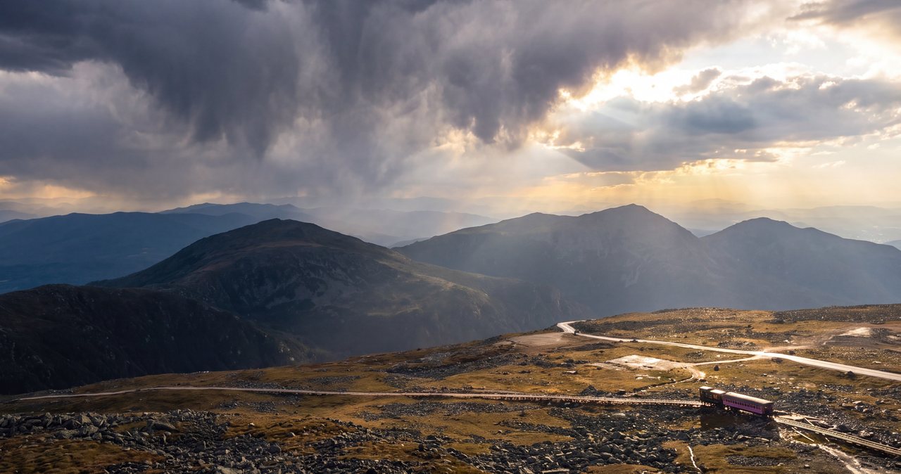
If you take one habit from all of this, take this one: check the higher summits forecast, not the town forecast for Lincoln. The Mount Washington Observatory publishes a Higher Summits Forecast twice a day, covering the White Mountain National Forest and the Presidential Range, and the gap between what it says and what you see out our window can be startling. A mild, still morning down here in town routinely sits below a summit that is fogged in, near freezing, and blowing 50 miles an hour. The town forecast is describing a different world than the one you are about to climb into.
Mount Washington earns the reputation. It held the world record for a directly measured surface wind gust for decades, 231 miles an hour recorded on the summit in April 1934, and it still sees hurricane-force winds on more than a hundred days a year. You are not climbing Washington on a casual weekend from Lincoln, but the same weather systems roll across every high ridge in the range, and above treeline there is nowhere to hide from them. Freezing temperatures and whiteout fog are possible on the higher summits in any month, including July.
The practical version is simple. Check the summits forecast the night before to decide whether an exposed ridge is even sensible, then check it again over coffee in the morning, because it changes. If it looks bad up high, that is your signal to pick something below treeline, in the trees, where wind and cold are far less of a threat. Our guide to trail conditions and mountain weather walks through where to look and how to read what you find, and it is the page we point guests to more than any other before a big hike.
Turning back
The most experienced hikers we host are, without fail, the ones most willing to abandon a plan. The summit will be there next year. The people who get hurt are usually the ones who treated reaching the top as the point of the day rather than one possible outcome of it.
The tool that makes this easier is a turnaround time. Before you start, decide on an actual hour, say it out loud to whoever you are hiking with, and honor it whether or not you have reached the top when it arrives. If you said noon and you are still short of the summit at noon, you turn around at noon. It sounds rigid, and that rigidity is exactly what saves you, because in the moment, with the top in sight, every instinct argues for pushing on.
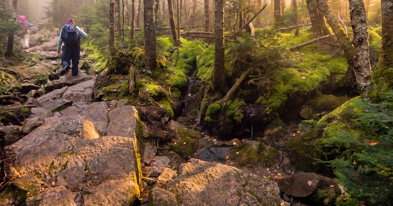
Daylight is the other half of this. It runs out faster in a notch than the sunset table suggests, because the sun drops behind a ridge long before it actually sets, and the forest floor goes dark well ahead of the sky. Descending a rooty, rocky White Mountains trail by headlamp is slow and cold, and it turns an easy day into a long one. Build your turnaround time so you are comfortably back at the car with daylight to spare, not cutting it close. If the weather turns, if the group splits into fast and slow, or if anyone is not enjoying it anymore, those are all reasons to turn around too. None of them require a summit to justify the day.
Cell service and leaving your plan
Assume you cannot call for help, and cannot look anything up, the moment you leave town. There is no mobile service on the Kancamagus Highway for its entire 34-mile length, and coverage on the trails themselves ranges from patchy to nonexistent. People treat their phone as a safety net out here and it simply is not one. Plan as though it will show you a spinning wheel the instant you need it, because often it will.
That changes two things. First, download everything before you leave the lodge, while you still have Wi-Fi and a signal in town: your map, your route, the trailhead directions, all of it, saved for offline use. For anything ambitious, carry a paper map as well, because a phone in the cold with a dead battery is no map at all. Our note on cell service and what to download lists exactly which offline maps and apps to grab so you are not caught out.
Second, leave your plan with someone who will act on it. Tell them the trail you are taking, roughly when you expect to be back, and when they should start worrying. Before you head out, tell someone at home what you are planning and when you expect to be back. It costs you a sentence and it means that if you are badly overdue, somebody knows where to point the people who go looking. A plan left with no one is not a plan.
Trailhead parking and the forest pass
Most of the popular trailheads sit on White Mountain National Forest land, and parking there requires a recreation pass. It is $5 for a day or $30 for the year. At the smaller trailhead lots there is often no booth and no attendant, just a self-service station with envelopes: you fill one out, tuck the fee inside, drop it in the iron box, and put the stub on your dashboard. Bring a few singles, because the box does not make change and you will not have signal to pay any other way.
Franconia Notch State Park works differently, with its own paid lots at the big attractions, and some trailhead lots fill early on peak weekends in foliage season and midsummer. If you are starting a popular hike, plan to be parked by mid-morning at the latest, both for the parking and for the daylight. Arriving to a full lot and circling for a spot is how a planned early start quietly becomes a late one.
If you would rather sort the pass, a paper map, water, or a forgotten layer before you drive out, the gear and grocery options in town are close, so it is easy to top up on your way to the trailhead. When in doubt, buy the annual pass on your first morning; if you hike more than a couple of times on the trip it pays for itself, and you stop feeding the box.
What to carry
The code says carry what the day could turn into, and up here that phrase does real work. The rule of thumb we give guests is to pack for a day that gets colder, wetter, and longer than the one you set out in, because on these mountains it can do all three inside a couple of hours.
The short list, even for a modest hike: more water than you think you will drink, and some food. Layers you can add, including a warm insulating layer and a properly waterproof shell, no matter how blue the morning is. A hat and gloves are not silly to carry in summer if you are heading anywhere near treeline. A headlamp, with fresh batteries, so that if the day runs long you are not descending by phone light. A basic first-aid kit. Your downloaded map, and a paper one for anything serious. Sunscreen and a way to treat a blister before it ends your hike.
The piece people skip is cotton, and it is worth naming. A cotton shirt or jeans that get soaked with sweat or rain hold the wet against your skin and pull heat out of you fast, which is how hypothermia starts even on a cool summer day above the trees. Wool or synthetic layers keep working when they are damp. None of this needs to be expensive or fashionable, it just needs to be with you. Our guide to what to pack for a White Mountains weekend lays out a full list you can work from, and it is worth a look the night before rather than a scramble in the morning.
Choosing a hike that fits the day
The single best safety decision is picking a hike that matches your group and the forecast, rather than committing to the famous one and hoping the weather cooperates. There is a big difference between a sheltered walk in the trees and an exposed alpine ridge, and matching that to the day you actually have is most of the game.
The headline hike from here is the Franconia Ridge Loop, and it deserves respect. It is about 8.9 miles with roughly 3,900 feet of climbing, and a long stretch of it runs above treeline along a narrow, fully exposed ridge with no shelter and no easy escape once you are up there. On a clear, calm, dry day it is one of the great hikes in the Northeast. On a day with wind, cold, fog, or thunderstorms in the forecast, it is a serious hazard, and it is the wrong choice for a first mountain hike or an uncertain sky. Save it for a settled weather window and an early start, and turn around without drama if conditions change on the way up.
When the forecast is iffy or the group is mixed, go below treeline. A hike like Lonesome Lake, about three miles round trip with a manageable climb up to a mountain pond and an AMC hut on the far shore, gives you real mountain scenery with far less exposure and a clear way to bail if the weather turns. Shorter still, Artist Bluff above Echo Lake is a steep but quick climb, roughly 40 min round trip, for a big view without a big commitment. There is no shame in the smaller hike. The people who have the best weekends here are usually the ones who chose the outing that fit the day in front of them.
Trail closures for 2026
Two closures are worth knowing about before you plan a hike out of Lincoln this year, because both catch people who are working from an older guidebook or an app that has not caught up.
The Lincoln Woods Trail, one of the most popular flat starts in the area and the usual gateway to Franconia Falls and the classic Pemi Loop, is closed for the 2026 season, roughly June through November, while the Forest Service repairs an eroded stretch of trail along the East Branch of the Pemigewasset. Any route that leans on it needs rethinking this year. We wrote up the details and the workarounds in our note on the Lincoln Woods Trail closure, so check that before you build a plan around it.
The other one is the Cannon Mountain aerial tramway, up in Franconia Notch. It took its final ride in late October 2025 and is closed for replacement, and no reopening date has been announced. That means you cannot ride the tram to the summit for a view or an easy way down right now, so do not plan around it. The Cannon ski area itself still operates in winter; it is only the tramway that is out. And while you are up in the Notch, know that the Old Man of the Mountain, the stone profile that was the state symbol, fell from the cliff in May 2003 and is gone. There is a memorial plaza worth a daytime stop, but there is no face on the mountain to hike toward.
Moose, bears, and stream crossings
The wildlife here is one of the pleasures of these mountains and, with a little sense, not something to fear. Black bears live throughout the range, and they are after your food, not you. Do not leave snacks in an open pack at a rest stop, do not feed anything, and if you see a bear on the trail, give it room and make your presence known rather than surprising it. Encounters that go badly almost always involve food. Moose are more of a road hazard than a trail hazard: they are enormous, dark, and nearly invisible on an unlit road at night, so drive the Kancamagus and the Notch parkway slowly after dusk and scan the shoulders.
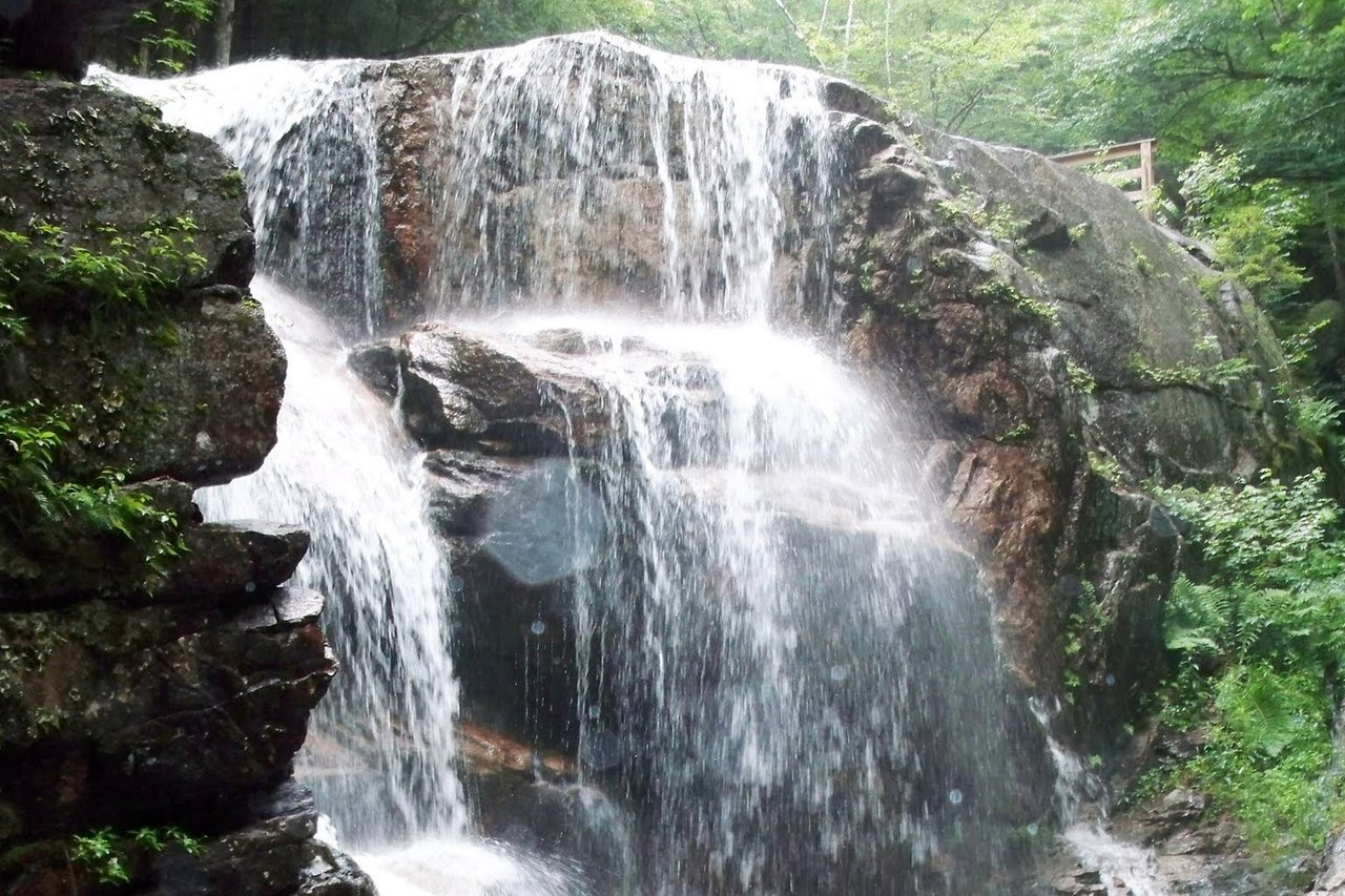
The hazard people underestimate is water. A stream that is an easy rock-hop in the morning can run high and fast after an afternoon of rain higher up, and the water moving over smooth granite is stronger and colder than it looks. If a crossing looks sketchy, it is, and turning back is a far better outcome than being swept off your feet miles from help. The same granite that makes the scenery makes the footing treacherous when it is wet, so slow down on slick rock, especially near the many waterfalls and cascades that tempt people off the edge of the trail for a photo.
None of this should keep you off the mountains. It is the ordinary awareness of a place where the wild is still wild, a few miles from a comfortable bed. Respect the animals, respect the water, keep your footing on the rock, and the trails give back far more than they ask.
Starting early
Almost every good hiking day up here begins early, and it is the easiest safety habit to adopt because it costs nothing but an alarm. The best days start around seven in the morning and are finished by mid-afternoon, and the reason is weather and daylight rather than crowds, though an early start beats the crowds too.
Thunderstorms in the White Mountains tend to build in the afternoon heat, and being on an exposed ridge when one arrives is one of the real dangers here. An early start gets you up and down before the sky has a chance to turn. It also banks daylight against a hike that runs longer than planned, which most first hikes on this terrain do, because the rooty, rocky trails are slower going than the mileage suggests. Two miles here is not two miles on a flat path at home.
There is a quieter reward too. Finish by mid-afternoon and the whole evening opens up. You can shower, sit on the deck, walk into town for dinner, and feel like you had a full mountain day and a full evening rather than one long grind that ate the light. The coffee lounge has coffee, tea and oatmeal ready for an early start for exactly this reason, so the plan is to be at the trailhead not long after sunrise, not still deciding over a second cup at ten.
The Hike Safe card
New Hampshire Fish and Game sells a voluntary Hike Safe card, and if you are doing anything more than a nature walk on this trip, buy one. It costs $25 for an individual or $35 for a family for the calendar year, and holding one means that if you need rescuing you generally will not be billed for the cost of the mission. The exception is for people who acted recklessly or intentionally created the situation that brought the rescue, which is a narrow bar to clear.
The money does real work. Card sales are a major source of funding for the search-and-rescue teams themselves, the same volunteers and conservation officers who would come for you, so buying one supports the system whether or not you ever call on it. You can buy it online through the Fish and Game website in a couple of minutes, and it is easiest to do from the lodge the night before you head out, while you have signal and Wi-Fi.
To be clear, the card is not a substitute for any of the habits in this piece, and it is not permission to take a risk you otherwise would not. It is inexpensive peace of mind and a small contribution to the people who staff the rescues, nothing more. We wrote a fuller explanation of exactly how it works and who it covers in our note on what the Hike Safe card is, if you want the details before you decide.
If something goes wrong
Plan for the emergency before you need it, because the moment you need it is the worst time to start thinking. If someone is injured and cannot move, the standard call in New Hampshire is 911, and it will route to the right people; Fish and Game coordinates backcountry rescue in the state. But remember that you likely have no signal, so the real preparation happens beforehand: know your location and route well enough to describe it, and carry the gear to keep an injured person warm and stable while someone goes for help.
The most common reason a minor problem becomes a serious one is cold. A twisted ankle on a warm afternoon is an inconvenience; the same ankle at dusk, with the temperature dropping and a wind picking up, is an emergency, because you cannot keep moving to stay warm. This is why the extra layers and the emergency blanket earn their place in the pack even on a short hike. If you are stopped and cold, getting insulated and out of the wind is the first priority, above almost everything else.
If you carry a satellite messenger or a phone with satellite SOS, know how to use it before you leave, and understand it is a last resort, not a reason to take a risk. And if your plans change on the mountain, if you bail early, take a different trail down, or decide to stay out longer, try to get word to whoever holds your plan as soon as you have signal, so nobody launches a search for a person who is safely having dinner in town.
What we ask of our guests
Nothing formal, and nothing that will slow down your morning. Just leave your plan with someone at home, take the summits forecast seriously, start early, carry more than you think you need, and come back. If you are heading somewhere exposed, glance at the forecast one more time before you drive off, and give yourself permission to swap the big hike for a smaller one if the day does not cooperate. The mountains are not going anywhere.
After enough seasons here we have a feel for which trails are holding up and which are a slog in a given week, so message us. We would rather spend 5 min by message talking you toward the right hike for the conditions than hear later that a beautiful plan met an ugly afternoon. The best hiking days from the lodge begin at seven, finish by mid-afternoon, and leave the whole evening for the deck, a warm drink, and the quiet that brought you here in the first place.
When you are ready to line up a weekend around the trails, you can check dates and book directly, and reach out with any questions about a specific hike before you come. We would rather answer them early than late.
— Launchpoint Lodge, From the lodge