The most common small emergency we hear about from guests has nothing to do with weather or a locked door. It is a couple already an hour up a mountain road, no bars on the phone, no map that will load, a timed ticket sitting in an email they cannot open, and no clear idea of where they are supposed to turn. It is entirely avoidable, and the fix takes about 5 min on our Wi-Fi before you pull out of the lot. This is our version of a connectivity guide: where the signal actually holds around Lincoln, where it disappears, and exactly what to pull onto your phone the night before so a dead zone becomes a non-event instead of a ruined afternoon.
Where the signal goes
Coverage in the town core is fine. Lincoln and North Woodstock have real towers, and along Main Street, at the ski resort, and near the I-93 exits you will have data and calls without thinking about it. Our fiber Wi-Fi at the house is fast and reaches every suite, so anything you do from here works normally. The trouble starts the moment you leave town and gain elevation.
Once you climb into Franconia Notch the signal goes patchy, dropping in the deep parts of the pass and picking back up near the exits. On most hiking trails it is unreliable, and across large stretches of the White Mountain National Forest it is simply gone. The carrier you use shifts where those pockets of signal fall, but it does not change the basic pattern. Verizon tends to reach the furthest into the rural north and the notches, AT&T is a step behind, and T-Mobile is the one people most often find useless once they are north of the Lakes Region. Whatever you carry, the backcountry has real gaps on every network.
The practical takeaway is to stop treating your phone as a live tool the minute you leave Lincoln. Plan for no signal from the edge of town onward, and treat any bars you do catch as a bonus rather than something to lean on. Everything below is about making the phone useful offline, so it keeps working when the towers stop.
The Kancamagus Highway
The Kancamagus Highway, NH Route 112, starts right at the end of our street and runs 34 miles east over the mountains to Conway. It is one of the great drives in New England and one of the least forgiving places in the region to be caught unprepared. For its entire length there is no gas station, no restaurant, no store, and no cell signal. Restrooms exist only at the designated recreation areas and campgrounds along the way. The road climbs to a height of land around 2,855 feet at the Kancamagus Pass, and once you are on it you are committed to the whole stretch until the next town.
The Kanc is worth doing, and it rewards a little preparation. Fill the tank in Lincoln before you turn onto the highway, not after. Bring water and a snack, especially if anyone in the car gets short-tempered when hungry. Know which overlooks and trailheads you plan to stop at, because you will not be looking them up on the way. Download the drive before you leave, which we cover in the next section. If you want to scout the route in daylight and at an easy pace first, our note on taking the Kancamagus slowly walks through the stops in order.
People are surprised by this every single season, usually the ones who assumed a famous scenic byway would have services along it. It does not. Treat the Kanc as a self-contained trip with a full tank and a downloaded map, and it becomes the highlight of a lot of stays rather than the afternoon that went sideways.
Offline maps for the drive
Both Google Maps and Apple Maps let you save a region for offline use, and this is the single most useful thing you can do before heading out. In Google Maps, search Lincoln, NH, tap your profile picture, choose Offline maps, and download a custom area; drag the box until it covers Lincoln, Franconia Notch, the length of the Kancamagus, and Conway. In Apple Maps on a recent iPhone, search a location, tap it, and choose Download Map, then size the region the same way. Do it the night before over our Wi-Fi, while you have fast fiber and time to let it finish.
A saved map keeps turn-by-turn routing and search working with no signal, using the phone's built-in GPS, which does not need cell service to know where you are. What it will not do is show live traffic or brand-new closures, so check those before you lose signal. One habit separates people who trust their offline map from people who guess: after it downloads, switch the phone to airplane mode for a moment and confirm the map still draws and your blue dot still finds you. If it works in airplane mode at the house, it will work on the Kanc.
Download more area than you think you need. It costs a little storage and nothing else, and the extra margin covers the wrong-turn recovery, the spontaneous detour to a swimming hole, and the moment you decide to keep driving to Conway for lunch instead of turning back.
Trail apps and offline maps for hiking
A hiking app is only as good as the map it has already cached. AllTrails is the friendliest for finding a route and reading recent trip reports, but downloading a map for offline use requires the paid AllTrails+ tier, so set that up at home rather than discovering it at the trailhead. For heavier navigation, Gaia GPS, onX Backcountry, and CalTopo all hold detailed topographic layers offline, and long-trail hikers tend to lean on FarOut. Whichever you choose, the step people skip is actually downloading the specific trail and the surrounding map tiles inside the app while on Wi-Fi. Saving a trail to a list is not the same as downloading its map.
Your phone's GPS chip works without any signal, so the blue dot will still track you on a cached map even where there is no service. Run the same airplane-mode test you ran for driving: pull up the trail, switch to airplane mode, and confirm the map and your position both load. Bring a battery pack, because cold weather and constant GPS use drain a phone fast, and a dead phone is a paperweight with no map on it. In winter especially, keep the phone warm in an inside pocket between checks.
Check conditions before you commit to a route, since trails here close and wash out with the seasons. As one example this year, the Lincoln Woods Trail is closed for 2026, which reroutes a number of popular Pemigewasset hikes, and you would not want to learn that at the trailhead. Look up your specific trail before you set out rather than assuming last summer's plan still holds.
Reservations, tickets, and door codes to save offline
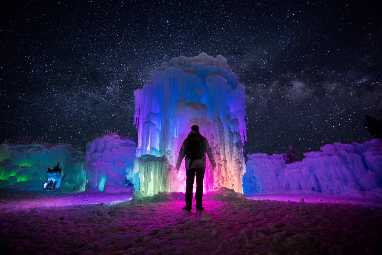
Anything that has to load from the internet at the moment you need it is a liability out here, so turn each one into a screenshot that lives in your camera roll. The one that trips people most is Flume Gorge, which runs on timed-entry reservations booked online in advance; the ticket lives in an email or an app, and the parking area sits in a spotty stretch of Franconia Notch. Screenshot the confirmation with your entry time before you drive over. If you are unsure whether you even need one, our answer on Flume Gorge reservations covers it. The same goes for the Mount Washington Cog Railway, Ice Castles in winter, and any dinner booking in town.
A ticket that needs to load is a ticket you do not have.
Two more are easy to forget. First, your door code and our phone number. Check-in here is keyless, the code arrives on your phone, and you do not want it stranded inside an email you cannot open after a day with no signal. Screenshot the code and save our number to your contacts so both are available offline. Second, if you plan to park at a national forest trailhead, sort your White Mountain National Forest recreation pass ahead of time; it runs five dollars a day or thirty for the year, and the self-serve kiosks are simplest to deal with when you are not also fighting for a signal to pay.
Weather forecasts to download before a hike
Mountain weather here changes faster than the valley forecast suggests, and above treeline it becomes a different world entirely, with wind, cold, and whiteout cloud that can arrive in the time it takes to climb. If any part of your hike goes above the trees, read the Mount Washington Observatory's Higher Summits Forecast before you leave. The Observatory publishes it twice a day and writes it specifically for the exposed high country, which the general phone weather app does not account for. A summit can sit in freezing cloud and forty-mile-an-hour wind while Lincoln is sunny and mild.
Because you will lose signal, take a screenshot of the forecast the same way you screenshot a ticket. A saved forecast in your photos is readable at the trailhead; a weather app that needs to refresh is not. Pair it with a look at the National Weather Service point forecast for your specific trail, and give real weight to what you read. Turning around because the summits are socked in is a decision hikers here make constantly, and it is the right one more often than not.
For the fuller picture of how weather and trails move through the seasons, from mud and blackflies to the first snow, our guide to trail conditions and mountain weather lays out what to expect month by month, so the forecast you download has context behind it.
Satellite messaging and emergency SOS
The gap between a scenic dead zone and a real problem is a way to call for help when something goes wrong, and the technology here has moved quickly. Recent iPhones, the 14 and newer, include Emergency SOS via satellite, free for two years after you activate the phone, which lets you reach emergency services by pointing the phone at open sky even with no cell signal, and newer models can send regular messages by satellite too. Several recent Android phones, including the newer Google Pixel and some Samsung models, now offer their own satellite SOS. These features need a clear view of the sky and a little patience to connect, and they can struggle deep in a gorge or under heavy tree cover, so treat them as a real safety net rather than a substitute for planning.
If you spend serious time off the grid, a dedicated two-way satellite messenger like a Garmin inReach or a ZOLEO is the sturdier tool. They ride the Iridium network, which covers essentially the entire planet, and they let you send an SOS with your exact location, message back and forth with rescuers, and check in with someone at home on a schedule. They carry a subscription, so they make sense for regular hikers more than for a one-time visitor. For most of our guests, a recent phone with the satellite feature turned on and understood is plenty.
Whatever you carry, the rule holds: these tools buy you a lifeline in a bad moment, but they do not replace a full tank, a downloaded map, warm layers, and a plan you left with someone. Batteries run down, gear can fail, and the sky is not always clear overhead.
Calling for help when service is thin
Even with no bars showing, it is worth trying 911, because an emergency call can sometimes connect through any carrier's tower, not only your own, and through a distant tower your phone would ignore for a normal call. If a call will not go through where you are standing, moving to higher or more open ground, a ridge, a clearing, an overlook, sometimes finds just enough signal. Text-to-911 works in much of New Hampshire and a short text can get through where a voice call cannot, but it still needs some signal to send, so it is not a backcountry answer on its own.
Backcountry rescue in the White Mountains is run by New Hampshire Fish and Game, and the state offers a voluntary Hike Safe card that supports search-and-rescue funding; it costs twenty-five dollars for an individual or thirty-five for a family and is valid through the end of the year. It is not insurance and it is not required, but it is a small, sensible thing to have, and it puts money toward the people who come get you. Our note on what the Hike Safe card is explains how it works and who should carry one.
The simplest safety plan is also the best one: tell someone your route and your expected return time before you go, so that if you do not check in, someone knows where to start looking. We come back to that below, because it costs nothing and it matters more than any gadget.
The Wi-Fi at the lodge
All of this hinges on doing the downloading somewhere fast and reliable, and that place is the house. We run fast fiber Wi-Fi and it reaches every suite, so saving your offline maps, screenshotting your tickets, and loading up a hike takes a few minutes over morning coffee. The coffee is already in your room, so there is no reason not to. Sit down, run the list, test the map in airplane mode, and head out knowing the phone will keep working after the towers quit.
We think of the lodge as the last dependable connection between you and a lot of very beautiful places that have nothing in them. Once you leave, the mountains take over, which is rather the point of coming here, but it means the preparation has to happen before you go. A guest who spends 5 min at breakfast getting set almost never has the small-disaster morning; a guest who assumes it will all work out there usually has the story to tell instead.
Because we run on keyless self check-in with a virtual innkeeper, your phone is also your key and your line to us, so it is worth keeping it charged and its essentials saved offline for that reason alone. Book direct when you plan your stay, and reach out with any questions before you arrive; we would rather answer them over solid Wi-Fi than have you puzzling over them somewhere with none.
Music, podcasts, and radio for the drive
The dead zones that swallow your map also swallow your streaming, so a drive over the Kancamagus or up into the Notch will cut off a Spotify or Apple Music stream partway through unless you have saved it for offline play. Download a few playlists, an album or two, and a couple of podcast episodes before you leave, the same way and the same night as the maps. Audiobooks are a good call for the longer hauls, the two-hours-plus down to Boston or the loop out to Conway and back.
Radio is a weak backup up here. The mountains play havoc with FM reception, and while a few stations reach the valley, WPNH at 100.1 out of Plymouth among them, plus country and album-rock stations broadcasting from the Conway side, the signal fades in and out as the terrain rises and falls. You will lose a station mid-song in the notches. It is fine for a quick valley errand and unreliable for a mountain drive, so do not count on it to carry the miles.
This matters more than it sounds on the Kanc in particular, where you are committed to 34 miles with no services and, for long stretches, nothing on the dial. A downloaded soundtrack turns that into one of the best drives of the trip. Silence works too, if that is your preference, but bring the option rather than discovering there is nothing to play.
Tell someone your plan
The flip side of no signal is that nobody can reach you either, and that is the part worth taking seriously. Before you head out on a hike or a long drive, leave your plan with someone: the trail or route you intend to take, and roughly when you expect to be back. If your plans change at the trailhead, and they often do, a quick message from the last spot with signal updates the record. The value of this is entirely in the case where something goes wrong, which is exactly the case you cannot plan for once you are out there.
Tell us, too, if you like. We would far rather know that you have gone up a particular trail and expect to be back by dark than wonder about a quiet room. It costs you one sentence on the way out the door, and it means someone in town knows where to start if you do not turn up. For winter trips this goes double, when icy roads and unplowed trailheads add their own hazards; our note on winter driving in the White Mountains covers getting to and from the trail safely in the cold months.
None of this is meant to make the mountains sound daunting. They are not, for anyone who prepares. It is the unprepared version, no map, no fuel, no plan, no way to call, that turns an ordinary outing into a hard afternoon, and every piece of it is avoidable from the breakfast table.
Before you head out
Run through this short list on our Wi-Fi before you turn the key, ideally the night before so nothing is rushed:
- An offline map area in Google or Apple Maps, covering Lincoln, Franconia Notch, the Kancamagus, and Conway, and tested in airplane mode.
- Your trail map downloaded inside your hiking app, not just saved to a list, with a battery pack in the bag.
- Tickets and reservations screenshotted: Flume Gorge, the Cog, Ice Castles, dinner. Plus your door code and our number, saved offline.
- The Higher Summits Forecast screenshotted if any part of your hike goes above treeline.
- Music, podcasts, or an audiobook saved for offline play, since the radio fades in the mountains.
- Your plan left with someone, plus your satellite SOS feature turned on if your phone has one.
That is the whole system, and it takes about as long as a second cup of coffee. If you want to see how the pieces sit relative to each other and judge your drive times before you go, our area map lays out where Lincoln, the Notch, and the Kanc fall. The lodge sits in the middle of all of it, roughly 10 min from Franconia Notch and 6 min from Loon Mountain, so most of these drives are short, and most of these dead zones are only a few miles from a hot shower and fast Wi-Fi.
Come for the mountains and the quiet. Just spend 5 min getting the phone ready first, so the only surprises out there are the good ones.
— Launchpoint Lodge, From the lodge