The Kancamagus Highway — the Kanc, to everyone here — runs 34 miles east from Lincoln, over a pass, and down to Conway. There is no gas on it, no food, no cell service for most of its length, and nothing to buy. We mean that in the best way. That emptiness is why the drive is worth doing. Most people drive it in an hour and count it done. We would ask you to give it three, or half a day if you have it, and treat the driving as the smallest part of the trip. The road starts at the end of our street, which means you can leave after a slow breakfast, spend a whole afternoon on it, and be back at the house before the light goes. This is how we tell guests to do it, stop by stop, with the practical parts you actually need to know before you turn the key.
What the road is
The Kancamagus is the eastern stretch of New Hampshire Route 112, and it is one of the few roads in the region that was built for the scenery rather than in spite of it. It opened in August 1959, when two dead-end logging roads were finally connected across the mountains, and it was paved in 1964. Crews first plowed it through the winter of 1966 and 1967, and it has stayed open year round ever since, weather permitting. The name comes from Kancamagus, the third sagamore of the Penacook Confederacy, whose name is usually translated as "the Fearless One." You will hear locals say the whole word without slowing down; you do not have to.
From Lincoln the road climbs steadily east, following the East Branch and then the Hancock Branch of the Pemigewasset River before it crests at Kancamagus Pass, the height of land, around 2,855 feet. From there it drops toward Conway alongside the Swift River, which runs beside the pavement for miles of granite ledges and clear pools. The whole way is inside the White Mountain National Forest, which is why there are no towns, no billboards, and no lights breaking it up. It is a good idea to read our overview of the Kancamagus Highway before you go, if only to fix the shape of the drive in your head, because once you are on it there are no signs pointing you back to anything familiar.
The Kanc is a mountain road with a river beside it and a handful of pull-offs placed where the view earns them. There is no loop to follow and no line of attractions strung along it like a theme park. What you get out of it depends almost entirely on whether you are willing to stop the car and get out.
Before you leave Lincoln
Fill the tank in Lincoln. We mean this plainly: there is no gas station anywhere on the highway, and the next fuel is in Conway at the far end, 34 miles away. If you plan to drive out and back, that is closer to seventy miles of mountain driving on whatever is in your tank when you leave. It is not a stretch of road where you want to be watching the needle.
Bring water and a little food. There is nowhere to buy either once you are past the edge of town, and the pull-offs where you will want to linger do not have vending machines or snack bars. A couple of sandwiches and a thermos turn a drive into a picnic, and there are riverside tables at a few of the developed sites if you would rather sit down to it. Stock up in town first; a stop that takes 10 min in Lincoln has no equivalent anywhere on the road.
Download your maps and directions before you leave. Cell service drops off within a few miles of Lincoln and is essentially gone across the middle of the highway. Your phone will not load a map, a trail description, or a search result out there, so whatever you want to reference, save it offline while you are still on the lodge's Wi-Fi. Our piece on cell service and what to download walks through exactly what to grab so you are not staring at a spinning wheel at a trailhead.
Last, plan for the parking pass. Nearly every developed pull-off, waterfall lot, and trailhead on the Kanc sits on national forest land and requires a White Mountain National Forest Recreation Pass — 5 dollars for a day or 30 dollars for the year. You can buy the day pass at self-service kiosks along the road or in advance, and the annual pass pays for itself fast if you are here for a few days of hiking. The plain roadside overlooks are free to pull into; the maintained sites with restrooms and trails are the ones that want the pass.
The overlooks along the road
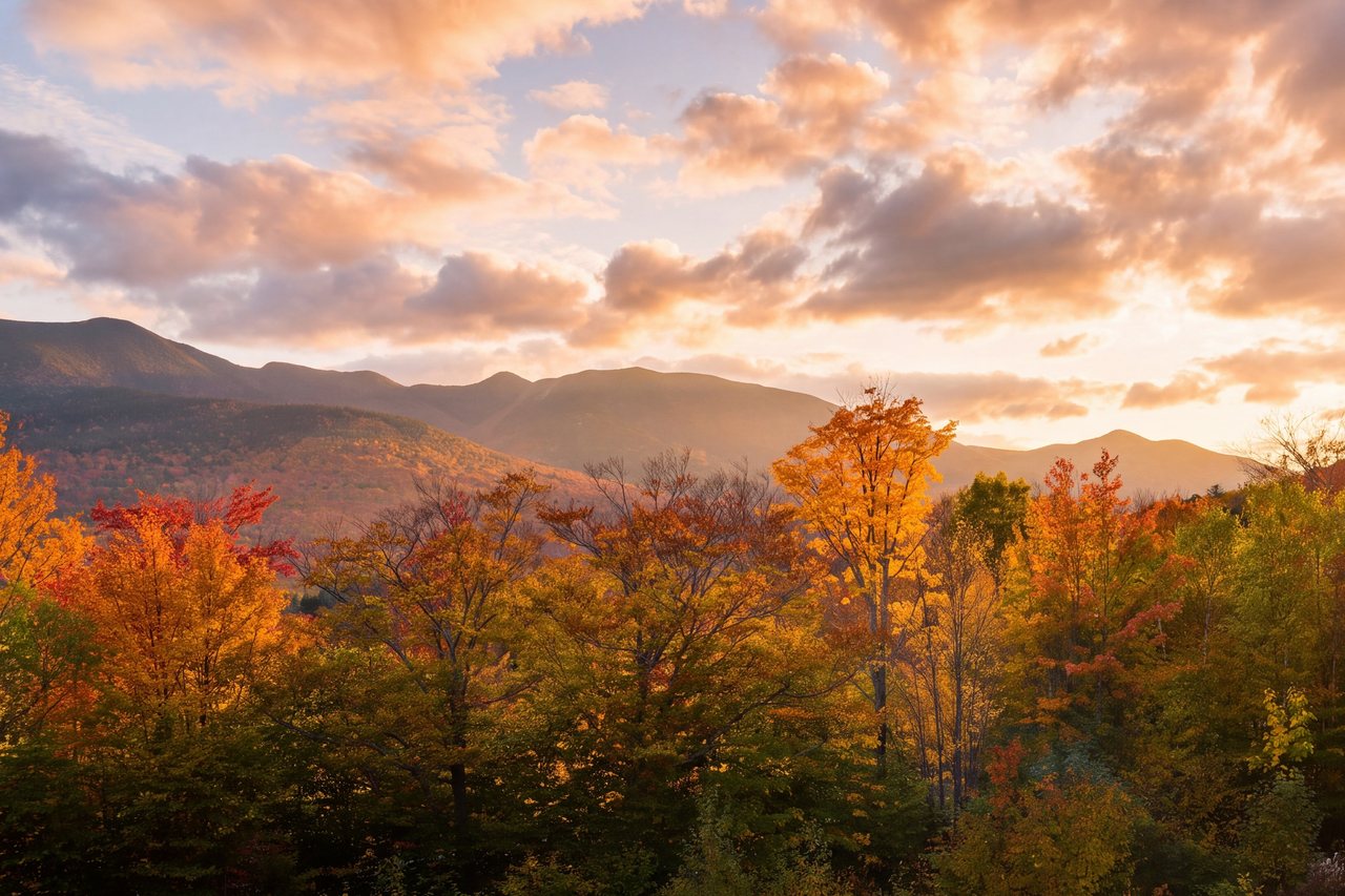
The overlooks are the reason to give the drive its time, and the mistake almost everyone makes is treating them as photo drive-throughs. Pull in, turn the engine off, and get out of the car. The air changes as you climb, the sound of the river drops away, and the view does something a windshield flattens.
Coming from Lincoln, the first of the big overlooks is the Hancock Overlook, about eleven miles up, set near the road's sharp hairpin turn. It looks southwest over the Osceola range and back down the valley you just came out of. Higher up, as the road nears the crest, the Pemigewasset Overlook opens a wide view across the same peaks. Right at the height of land sits the C.L. Graham Wangan Ground Overlook, which looks northeast over the Swift River valley and the rolling forest that runs to the horizon. Farther along, past the pass on the descent toward Conway, the Sugar Hill Overlook is the last of the big pull-offs before the road drops down. On a clear day any one of them is a reason to stand still for 10 min.
The overlooks are also where the road's changing weather shows itself. It is common for the valley to sit in sun while the pass hangs in cloud, and the temperature at the height of land can run noticeably cooler than in Lincoln. If you have driven up into a gray ceiling, it is worth waiting a few minutes; these mountains move their own clouds around quickly, and a socked-in overlook can clear while you are eating a sandwich.
Sabbaday Falls
If you stop for only one walk on the whole highway, make it Sabbaday Falls. The trailhead is about halfway along, and the walk in is short and flat — about two-thirds of a mile round trip, on a wide, evenly graded gravel path that the Forest Service maintains for easy access. It takes about 15 or 20 min at a stroll, and it is the prettiest short walk on the road by a wide margin.
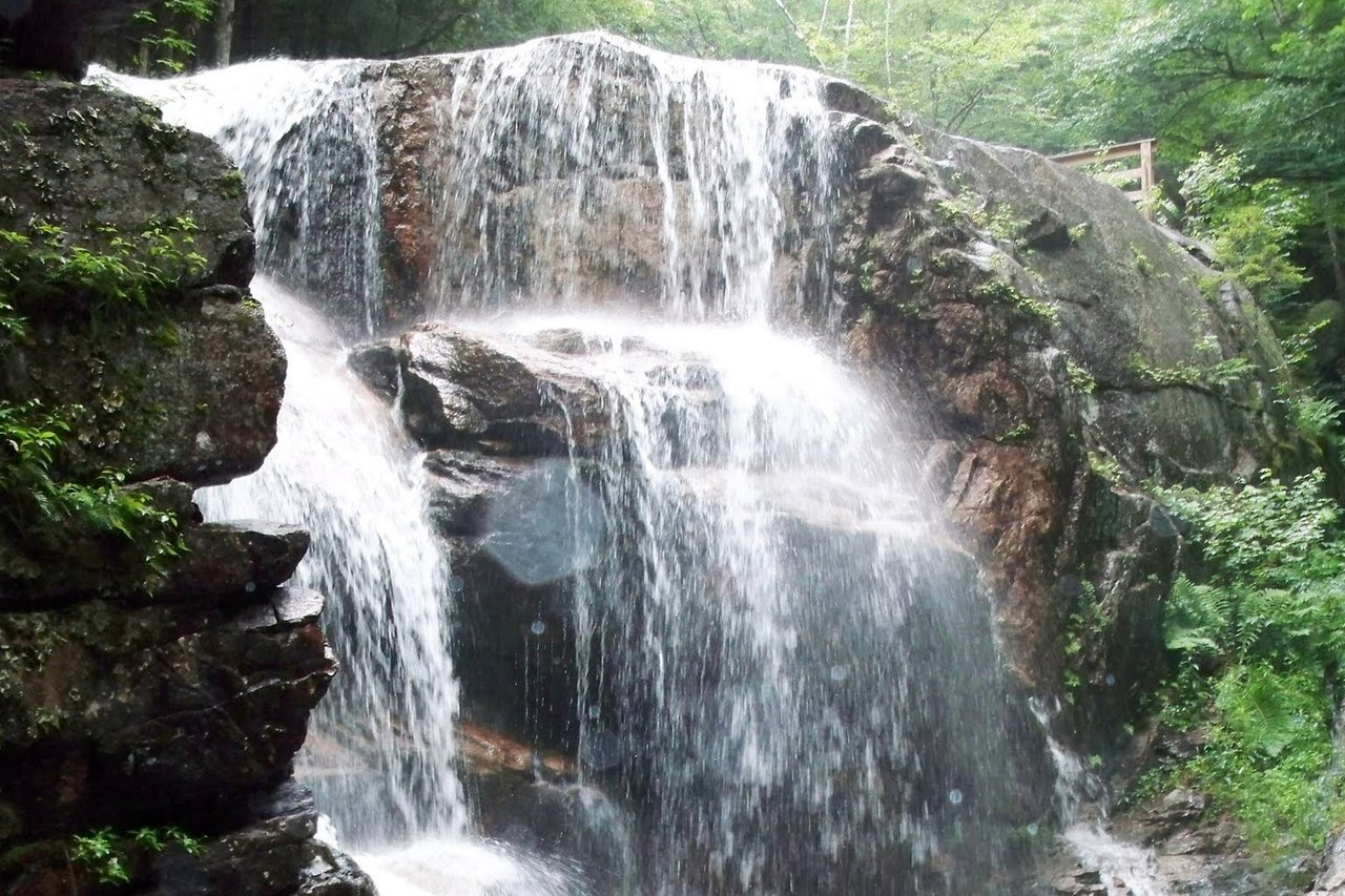
The falls drop through a narrow granite flume, a slot the water has cut and polished over a very long time, then step down through a couple of pools below. A wooden stairway and railed platforms let you look straight down into the flume from above, which is where the drop is most striking. In spring and early summer, after snowmelt, the water comes through hard and loud; by late summer it can quiet down to a trickle in a dry year, though the rock itself is worth the walk regardless. There is a parking area with the recreation pass and vault toilets at the trailhead. Our page on Sabbaday Falls has the particulars if you want them before you go.
This is the one stop that works for nearly everyone — a guest who does not hike, an early morning before a bigger day, a rainy hour when a longer trail has lost its appeal. 20 min, a flat path, and a beautiful piece of water at the end of it.
Swimming holes on the Swift River
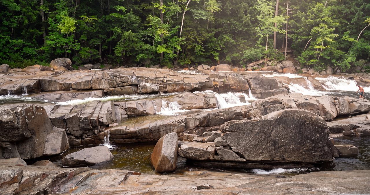
The Swift River is the other reason to slow down, and on a hot day it is the main event. The river runs beside the road for miles, sliding over broad granite ledges into pools that warm up enough to swim in by midsummer. The best-known spot is Lower Falls, toward the Conway end, where the water spreads over smooth rock into a large pool with a picnic area, grills, and restrooms nearby. When the river is low and calm, in July and August, it is a fine place to swim and lie on the warm granite. When the water is high or moving fast, in spring or after heavy rain, it is a river to admire from the rocks. People have been hurt here. Read the water before you get in, and if it is pushing hard, stay out and just watch it.
Rocky Gorge, farther west, is a different kind of stop. Here the whole river funnels through a narrow rock channel and drops in a single hard chute, spanned by a footbridge you can stand on to look straight down into it. Swimming is not allowed at Rocky Gorge, and it should not be attempted — the current through that slot is exactly as strong as it looks. What Rocky Gorge does offer is a short, easy loop from the parking area over the footbridge and out to Falls Pond, a quiet backwater that is a lovely flat walk in its own right. For a fuller rundown of where it is safe to get in the water near us, our guide to swimming holes near Lincoln sorts the calm spots from the ones to admire from dry land.
Whichever water you stop at, the rule is the same one the river teaches everyone eventually: the granite is slick where the water runs over it, the pools drop off faster than they look, and the current is stronger than it appears from the bank. Keep an eye on children if you have them along, though the quiet spots on this river are more a couple's-afternoon kind of place, and never dive into water you have not checked with your feet first.
Trails off the highway
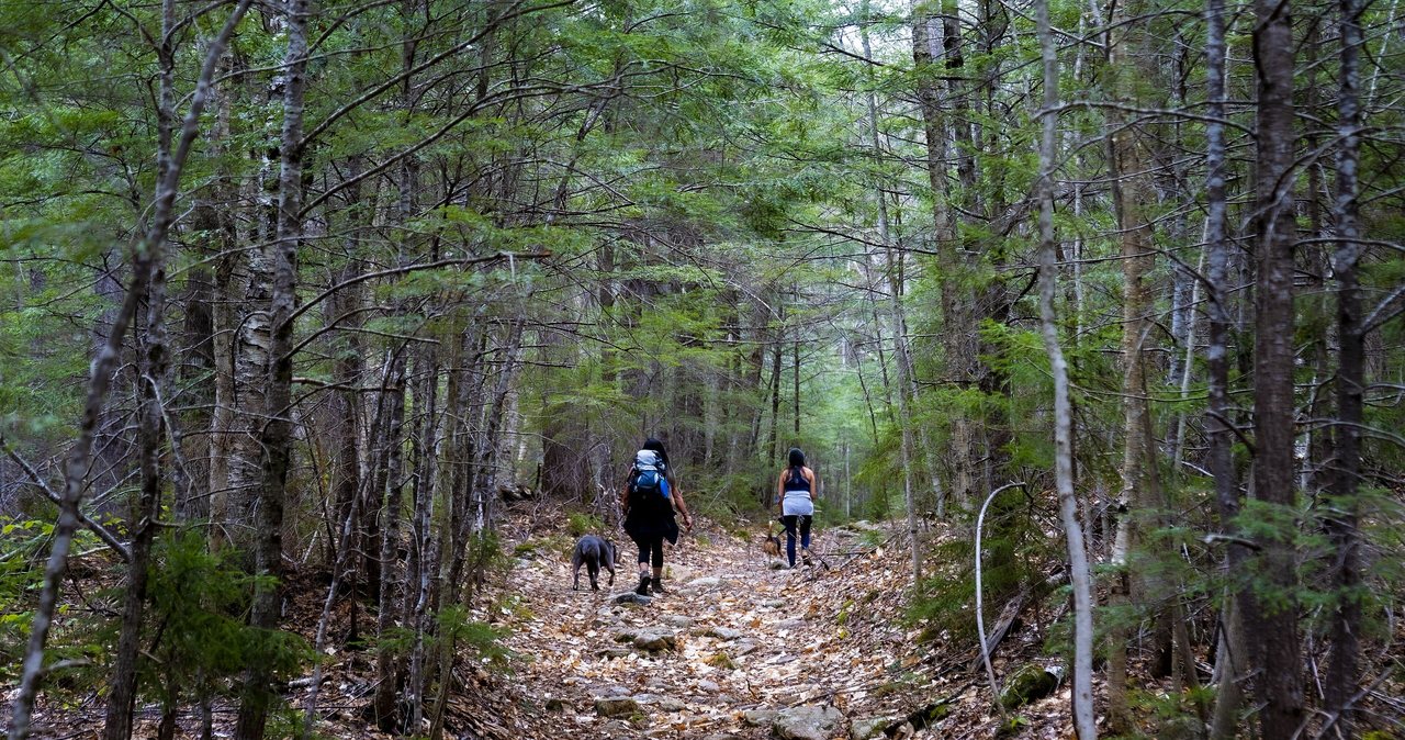
If you want to earn a view rather than pull into one, several good trails leave directly from the road. The most rewarding short-to-moderate one is the Boulder Loop Trail, near the Albany covered bridge on the Conway end. It is about three and a half miles around, climbing roughly nine hundred feet through mixed forest to a series of open ledges with a wide view across the valley to the peaks beyond. Give it two to three hours. Our write-up of the Boulder Loop Trail has the turn-by-turn and the parking detail; the lot takes the recreation pass.
For a waterfall walk with the option of much more, the Champney Falls Trail is about three miles round trip to the falls themselves, a pleasant grade along Champney Brook. The falls run best in spring and after rain and can dry to a trickle in high summer, so time it accordingly. Strong hikers use the same trailhead to climb Mount Chocorua, a rocky, exposed summit that turns the outing into a full seven-and-a-half-mile day with a real climb at the end. That is a serious hike, not a casual add-on, and one to attempt only with good weather and an early start.
Gentler is the Greeley Ponds Trail, about nine and a half miles east of Lincoln, which follows Mad River Notch on a mostly easy grade to a pair of mountain ponds ringed by cliffs — roughly seven miles round trip with modest climbing, and wet in places, so wear boots you do not mind soaking. One trail we have to steer you away from this year: the popular Lincoln Woods Trail, near the western end of the highway, is closed for the 2026 season. Do not plan on it, however many older guides recommend it; we explain what is going on in our note on the Lincoln Woods Trail closure. There are plenty of open alternatives, but this one is off the table until it reopens.
History along the road
The Kanc looks like pure wilderness now, but people lived and worked in these valleys, and one house is left to prove it. About two-thirds of the way toward Conway, at the site of the vanished village of Passaconaway, stands the Russell-Colbath House, built around 1832 and the only original structure remaining from a settlement that the forest reclaimed after the logging era ended. The Forest Service runs it as a small museum, with guided house tours through the summer, roughly July into September, and a reconstructed barn used for programs. It is a short, free stop right off the road, and it gives the drive a human scale that the overlooks alone do not — a reminder that this was a working landscape of farms and mills long before it was a scenic byway.
The road's own history is part of the interest too. The two ends of the highway sat as separate dead-end roads for decades before they were joined in 1959, which is why older maps of the area show a gap where the pass is now. Logging railroads once ran up several of these valleys, and a sharp eye can still pick out old grades and rail beds along some of the trails. None of this is signposted heavily, which is part of its charm; the history is there for anyone who slows down enough to notice it.
When to go
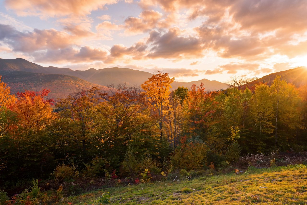
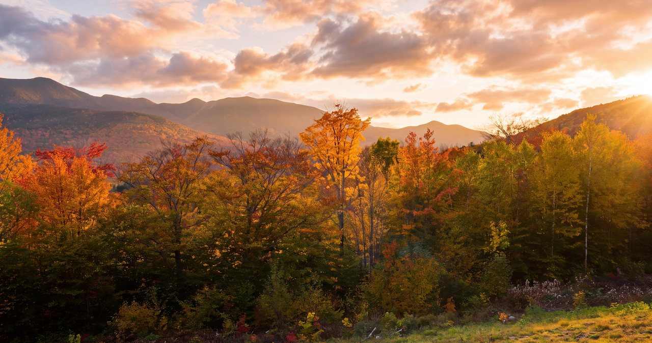
The Kanc is a true four-season road, and each season gives you a different drive. Fall is the famous one, and deservedly so — the color along the Swift River and up the ridgelines in late September and October is as good as anywhere in the country. It is also, for the same reason, the busiest, and on a peak foliage weekend the pull-offs fill and the road slows to a crawl. If you are coming for the leaves, go early in the morning or late in the afternoon, when the light is better and the crowds thin, and build in patience. Our guide to the best fall foliage drives puts the Kanc in context with the other color routes near us, so you can pick your days.
Summer is for the river. The swimming holes come into their own in July and August, the days are long, and you can make a whole afternoon of it with a picnic and a swim. It also brings heat and company at the popular water stops, so an early start helps here too. Spring is quieter and greener, with the waterfalls at their loudest from snowmelt, though some higher trails stay muddy or icy well into May. And the shoulder weeks — late spring and the stretch after the leaves drop in November — give you the road nearly to yourself, bare-branched and stark, which has its own appeal if solitude is what you are after.
Whenever you go, dawn and dusk are the hours to watch for wildlife. This is moose country, and a moose on the road at low light is a serious hazard — they are tall, dark, and hard to see until you are close. Slow down at first and last light, especially near the boggy stretches and pond outlets, and give any animal a wide, patient berth.
The road in winter
The Kancamagus stays open through the winter and is plowed like any other state road, so you can drive Lincoln to Conway in January on a clear day. It is one of the most beautiful winter drives in New England when the ridges are white and the river runs black between snowbanks. A few things change in the cold, though, and they matter.
Most of the overlooks and all of the scenic areas are not plowed in winter, so you often cannot pull into them the way you can in summer; you are driving through the scenery more than stopping in it. The highway itself can close for a stretch during a heavy snowstorm while crews clear it, so check conditions before you commit, and never drive it in a storm expecting the pull-offs to be there for you. Bear Notch Road, the connector that lets you shortcut toward Bartlett in the warm months, is closed entirely for the winter. And the plain math of a mountain road applies double in the cold: no gas, no services, no cell signal, and now snow and ice on top of it. Carry more warm layers than you think you need, keep the tank full, use proper winter tires, and give yourself daylight rather than driving it toward dusk.
How long to give the drive
People ask us how long the Kancamagus takes, and the answer is that it takes exactly as long as you let it. Driven straight through with no stops, Lincoln to Conway is under an hour. Nobody should drive it that way. Give it a minimum of three hours out and back if you want to stop at a couple of overlooks and walk in to Sabbaday Falls, and half a day if you want to add a swim, a longer hike, or the history stop at Passaconaway.
The rhythm that works best is to pick two or three things to actually get out for rather than trying to hit everything. A good, unhurried plan might be a swim at the river, the flat walk to Sabbaday Falls, and a long stop at one high overlook, with the driving strung loosely between them. That leaves room to pull over on a whim when a stretch of the Swift River looks too good to pass, which is where the best moments usually happen anyway. None of it requires a hike if you would rather not — the overlooks, the falls walk, and the riverside pull-offs are all a few steps from the car.
The one thing not to do is treat it as a transit corridor to somewhere else. The road is the destination. If you find yourself checking the time, pull over, turn the engine off, and stand by the river for a few minutes. That is the whole point of the place.
After the drive
The nice part of the Kanc starting at the end of our street is that the day ends short. You come off the highway back into Lincoln with the light going, and the house is a few minutes away rather than a long haul back from wherever you have been. There is time to rinse off, change, and head into town for dinner or a beer without the drive having eaten the evening. Lincoln keeps its dining close together, with a handful of good places to eat and a brewery with a full kitchen, so a river day can slide straight into a relaxed night, dinner a short trip rather than another long haul.
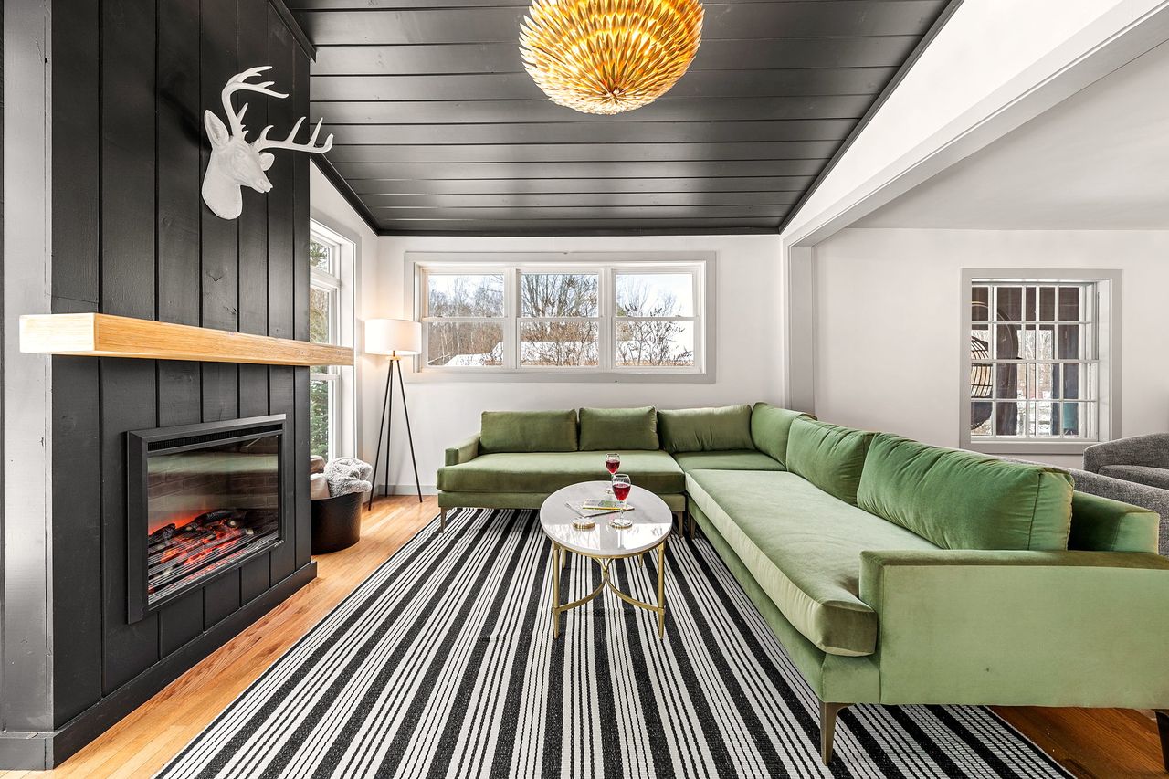
Back at the lodge, the quiet does the rest. Most of the suites are TV-free by design, and after a day on the road that suits the evening, which stays open for a slow drink, a book, or just sitting still after a lot of granite and moving water. One of our six suites makes a good landing spot for a couple after a long, unhurried day out; the Basin suite, with its two-person jetted tub, is a fair reward for a swim in a cold river. We book direct, and the best rate is always direct, so if a slow day on the Kancamagus is the kind of trip you are after, come stay where the road begins and give it the time it asks for.
— Launchpoint Lodge, From the lodge