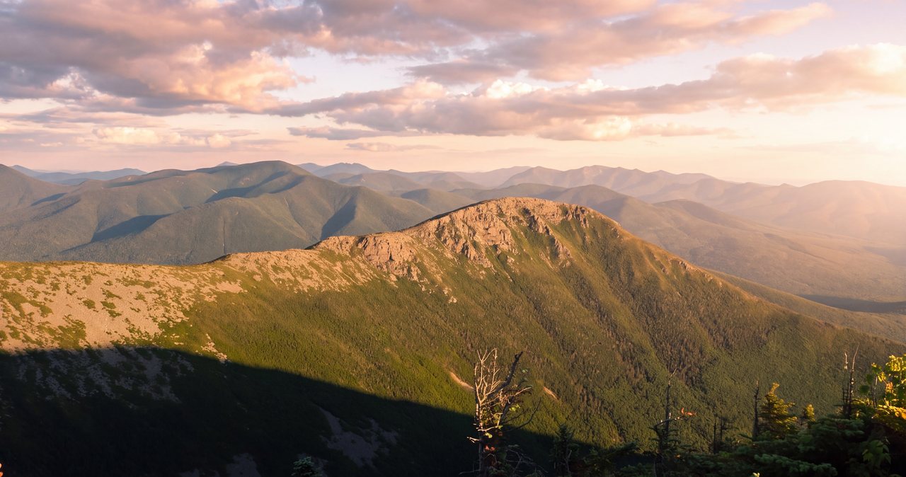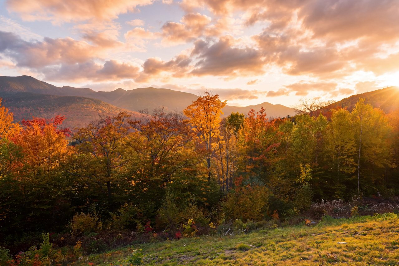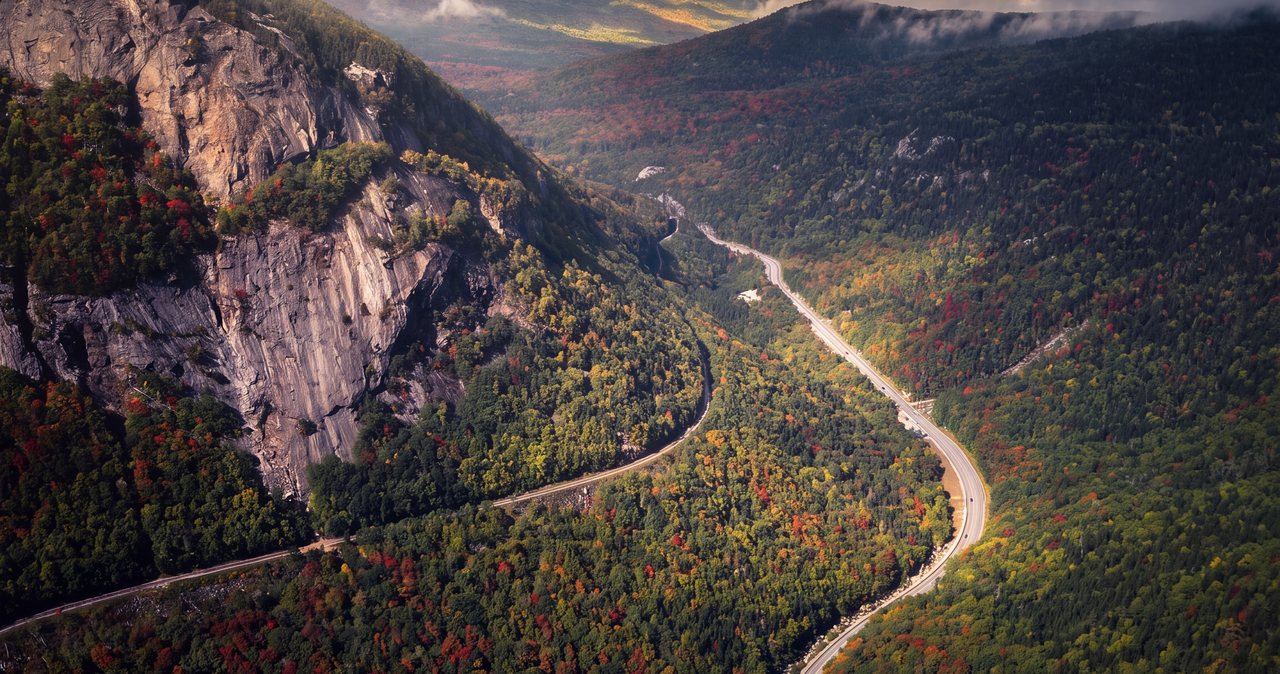
Everyone who comes to Lincoln drives the Kancamagus Highway, and everyone should. It starts at the end of our street, runs thirty-four miles east to Conway with no gas, no services, and no cell signal the whole way, and tops out near 2,855 feet with the range opening on both sides. It earns the reputation. But it is one road, and on a clear Saturday in October it is the busiest road in the forest, a slow chain of brake lights from one overlook to the next. Three other roads within easy reach of the house show you these same mountains from sides the Kanc can't reach, and on most days you'll have them close to yourself. This is where we point guests once they've done the famous drive.
Why go beyond the Kanc
Part of it is the traffic. The Kancamagus is the one everybody has heard of, so it fills up first, and a road built for looking around is no fun when you're watching the bumper in front of you. The bigger reason is that the White Mountains are a set of passes, notches in the local word, and each one cuts through the range in a different place and shows you a different face of it. From Lincoln you can drop into three of them in an afternoon without ever repeating a mile of road.
Bear Notch, Crawford Notch, Franconia Notch, Kinsman Notch: these are the gaps the old glaciers and rivers carved, and the roads simply follow where the land already gave way. Stand at the bottom of Crawford Notch and it feels like the walls are about to close over you. Roll north on Route 3 and the country opens into wide wet meadows where moose come out at dusk. Same range, half an hour apart, a completely different day. The point of going beyond the Kanc is to see the mountains whole instead of from one seat.
Driving distances from the lodge
It helps to picture how these roads hang together before you set out. The Kancamagus leaves from the east end of Lincoln and climbs into the forest right away. Franconia Notch is about 10 min north of us on I-93; the deep-notch overlooks up by the old Cannon cliffs are closer to 16 min. Loon Mountain is about 6 min east. None of the four drives in this post is far from the door.
Bear Notch Road branches north off the Kancamagus a few miles east of town and comes out in Bartlett. Route 302 runs through Crawford Notch on the far, northeast side of the range, reachable either over Bear Notch or the long way around by the highway. Route 3 heads north out of the Franconia Notch area toward Twin Mountain. And Route 112, which is the same numbered road as the Kanc, runs west out of North Woodstock: it's the closest of all of them, 20 min to somewhere that feels remote.
Because they connect to one another at their far ends, you can string them into a single loop, which is the last thing we'll get to. But each one stands on its own for an afternoon, and if you only have a couple of free hours, any of them is worth the turn.
Bear Notch Road
If you add only one road to a standard Kancamagus day, make it this one. Bear Notch Road climbs north off the Kanc a few miles east of Lincoln and runs about nine miles over the notch down to Route 302 in Bartlett. It's a narrow, mostly paved mountain road, and its scenic overlooks are all in the northern half, looking back across the range toward the peaks you just drove under. They hold up against anything on the Kanc itself, and there is rarely anyone standing at them.
The road is quiet partly because it's easy to miss and partly because it's a warm-season road only. It isn't maintained in winter. Once snow covers it, Bear Notch is gated and closed at both ends and becomes a snowmobile trail until it dries out and reopens in late spring. That matters if you're planning a loop through it in the shoulder seasons, because the gate is not negotiable; we've had guests drive out expecting to cross and have to turn around. Check the road status before you count on it in April or November.
The same quiet that makes it a good drive makes it a favorite with cyclists once the snow is gone, so give riders room on the grades. Coming down the Bartlett side you land on Route 302, which sets up the next drive in this post. In foliage season, get on Bear Notch early in the morning and you can have those north-facing viewpoints to yourself while the Kanc is already backing up below you.
Route 302 through Crawford Notch
Route 302 runs through Crawford Notch, the pass on the northeast side of the range and the centerpiece of Crawford Notch State Park. It is the most dramatic drive in the White Mountains that isn't a private toll road: steep walls rising straight off the pavement, waterfalls you can see from the car, and a floor so narrow in places that the road, the river, and the railroad share it. Unlike Bear Notch, Route 302 is a state highway, plowed and open year-round, which makes it the reliable half of any cold-weather plan.
Coming from Lincoln you reach it two ways. In the warm months, the short way is over Bear Notch to Bartlett, then northwest up 302 into the notch. In winter, or any time Bear Notch is gated, you go the long way, north through Franconia Notch and over to Twin Mountain, and come into Crawford Notch from the top. Either way, plan to stop constantly. The pull-offs are frequent and the scenery changes every mile as you climb toward the height of the pass. At the top of the notch, near the old Crawford Depot, the AMC's Highland Center makes a good stop for restrooms, water, and current trail conditions.
Cell service thins out through the notch the same way it does on the Kanc, so download your map before you leave the valley. There's more to see along this one road than any other in this post, so it gets the next few sections to itself.
Waterfalls along Route 302
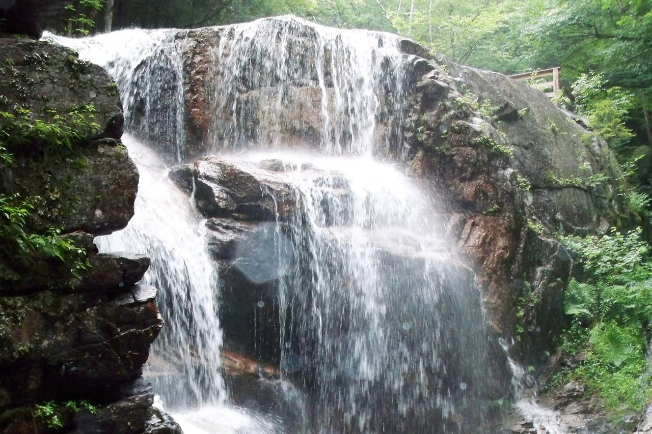
Crawford Notch is waterfall country, and several of the best are either right beside the road or a short walk from it. Coming up the notch you'll pass Silver Cascade and Flume Cascade, two long ribbons of water that spill down the east wall in plain view of the pavement. There are pull-offs for both, and after heavy rain or during spring melt they're loud enough to hear from the car.
For a little effort you get a lot more. Arethusa Falls, reached by a trail of about 1.5 miles off Route 302, drops around 140 feet and is the tallest single-drop waterfall in New Hampshire. Ripley Falls is a shorter walk off the same highway, a broad sliding sheet of water that's especially good in spring when the snowmelt is running. Neither is a hard hike by White Mountains standards, but both are real trails on uneven, often wet footing, so wear real shoes and turn around if a stream crossing looks pushy. If you want a longer walk, a connecting trail links Arethusa and Ripley into a single loop of roughly four to five miles, taking in both falls on one outing.
The short hike we push hardest in Crawford Notch is Mount Willard. The trail leaves from near Crawford Depot at the top of the notch and climbs a steady 1.6 miles, gaining under 900 feet, to a broad cliff-top ledge that looks straight down the length of the pass. For the amount of work involved, about an hour and a half of moderate walking for most people, it may be the best view for the effort in the whole range. If you do one thing on foot on a 302 day, do that.
The Willey House and the notch's history
Midway up the notch you'll pass the Willey House Historic Site, and it's worth knowing the story before you stop. In August 1826, a severe storm loosed a landslide off the mountain above the house. The Willey family and two hired men ran out to escape it and were killed, nine people in all; the slide split around the house itself and left the empty building standing. The event made the notch famous in the 1800s and drew some of the first tourists and painters into the White Mountains.
Today the site is a state-run stop with grounds, interpretive signs, and seasonal facilities. The buildings open fully around mid-May, though you can walk the grounds earlier in the year. It's a good leg-stretch with real history attached, and it sits close to the trailheads for the falls, so it folds neatly into a slow drive up the notch. Standing there looking up at the slide-scarred slopes is a plain reminder that these mountains are still moving, which is part of why we tell guests to respect the weather up here.
Bretton Woods and the Cog Railway
Come out the top of Crawford Notch and the land opens onto the plain at Bretton Woods, where the grand white hotel, the Omni Mount Washington Resort, sits with the Presidential Range behind it. It was built at the turn of the twentieth century and hosted the 1944 international conference that set the postwar monetary system; that meeting is still called Bretton Woods for this spot. You don't have to be a guest to pull in, look at the building, and take in the view of Mount Washington rising behind it.
Nearby is the base of the Mount Washington Cog Railway, which has been carrying passengers since 1868 and was the first mountain-climbing cog railway in the world. It runs to the summit from spring into late fall, with shorter trips to a lower station in the cold months. Riding to the summit is its own half-day outing rather than a quick stop, so if the Cog is on your list, plan the day around it rather than trying to fold it into a drive. Even from the base, though, you can watch a train start its climb, which is worth a few minutes on its own.
From Bretton Woods you're at the northern hinge of the loop. Route 302 continues on toward Twin Mountain, where you pick up Route 3 to head back south.
Route 3 north
Route 3 is the quiet connector, and it's the one people drive for moose. It runs north out of the Franconia Notch area toward Twin Mountain through open, low country, wide meadows and wetlands close to the road with the forest standing back. The wet edges beside Route 3 are classic places to spot one feeding at the tree line.
Moose are most active at dawn and at dusk, and the prime season runs from about early May into mid-October. If you want to try for one, drive this road slowly in the last hour of light, keep your speed down, and watch the shoulders and the wet openings rather than the road ahead. We have more on where and when to look in our note on seeing moose near Lincoln. One more tip for the drive: a moose is tall, dark, and nearly invisible on a night road until you're right on it. Moose–vehicle crashes are a real hazard on New Hampshire's north-country roads, most of them after dark, so slow down at night on any of these roads.
As a drive on its own merits, Route 3 is easy and unhurried, a soft open counterpoint to the walled drama of the notches, and the piece that lets you close the loop back toward Franconia Notch and home.
Route 112 west through Kinsman Notch
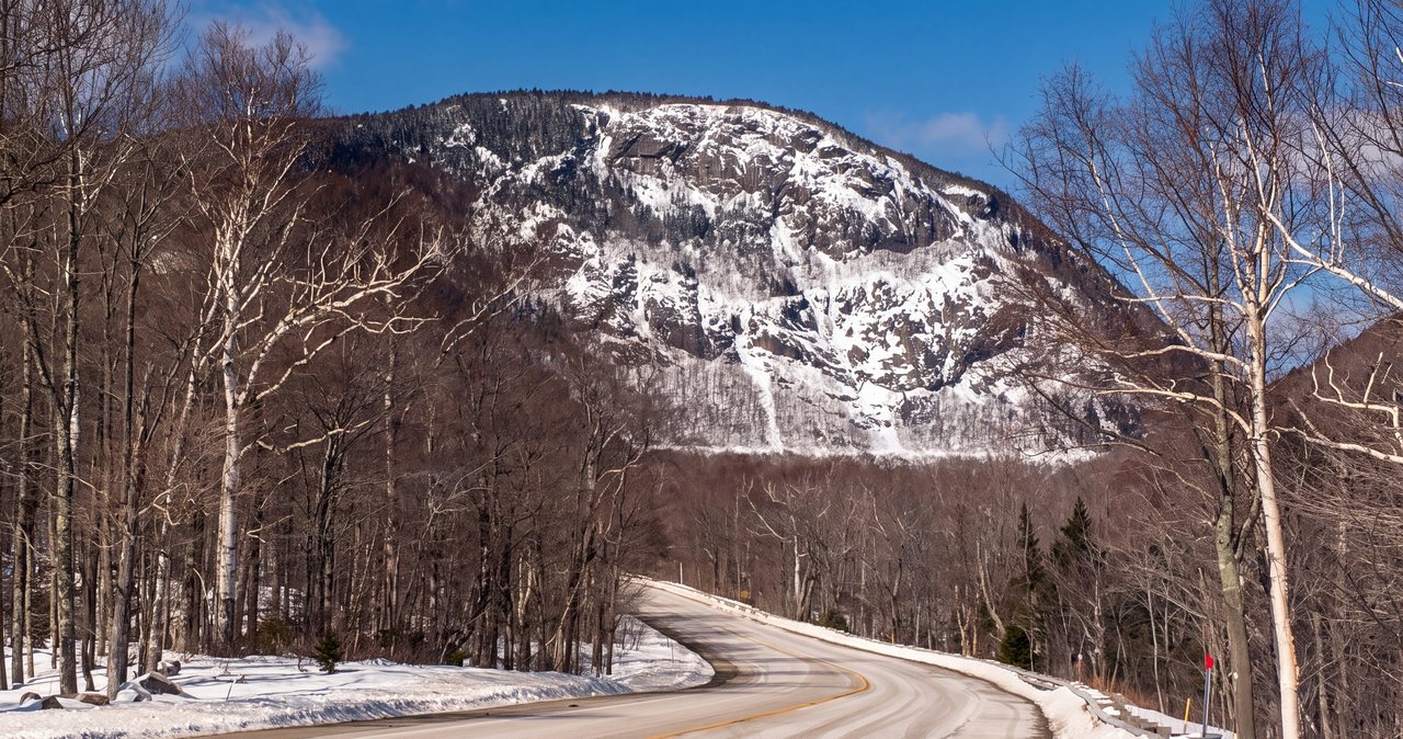
The last of the four is the closest. Route 112, the western arm of the same number the Kanc carries, runs west out of North Woodstock along the Wild Ammonoosuc River and climbs through Kinsman Notch, a pass just under two thousand feet that sits between Mount Moosilauke and the Kinsman ridge. It's tight, tree-covered, and it takes about 20 min to feel like you've left everything behind. Slow down through here: the road is narrow, the shoulders are wet ground, and this is another stretch where people watch for moose in the evening.
The stop to know on this road is Lost River Gorge and Boulder Caves, in the notch itself. A one-mile wooden boardwalk leads down through a narrow gorge past waterfalls and a series of glacial boulder caves you can climb into if you're willing to squeeze. It's a ticketed attraction open roughly May through October, and it's a good rainy-afternoon or with-a-group option because the boardwalk does the work and you're never far from the car. Also near the notch is the foot of Beaver Brook, where the trail up Moosilauke climbs steeply alongside a long run of cascades; the full route to the summit is a steep Appalachian Trail grind and not a casual walk, but the lower cascades make a fine short look from the trailhead.
Because Route 112 west starts right in North Woodstock, it pairs naturally with a meal in town at either end of the drive. The Woodstock Inn Station & Brewery, on Main Street in North Woodstock, is an easy stop, and back in Lincoln, Basecamp Brewing, the brewpub that used to be One Love, is the reliable in-town option.
The loop we recommend
With a full day and clear weather, the four roads link into one circuit that shows you the range from every side and still gets you home for dinner in town. Here is the version we hand guests:
- East from Lincoln on the Kancamagus, a few miles into the forest.
- North on Bear Notch Road, over the notch to Bartlett, stopping at the overlooks.
- Northwest on Route 302 up through Crawford Notch, past the waterfalls, Mount Willard, and the Willey House, to Bretton Woods.
- South on Route 3 from Twin Mountain, watching the meadows for moose.
- Back down I-93 through Franconia Notch to Lincoln.
That's three notches and every side of the range in a single unhurried day. Give it the whole day. The driving itself is short; the stopping is what takes the time, and the stopping is the point.
Two seasonal notes. The loop only closes in the warm months, because Bear Notch is gated in winter; from late fall through spring you either run it as an out-and-back or swap Bear Notch for the highway. And on the Franconia Notch leg, the Cannon Mountain aerial tramway is out of service. It closed after the 2025 season for a full replacement and no reopening date has been announced, so don't plan a ride up for the view. The Cannon ski area still runs in winter; it's only the tram that's down.
What to know before you drive
None of this is difficult, but a few practical things keep an easy day easy. Gas and food come first: the Kancamagus has neither for its full thirty-four miles, and the notches are thin on services too, so top off the tank in Lincoln and bring water and a snack. Cell service drops out fast once you leave town and is essentially gone on the Kanc and patchy through the notches, so download your maps and directions before you go rather than trusting a signal that won't be there. It comes back in the towns at the far ends, Bartlett and Bretton Woods among them, but don't count on anything in between.
If you plan to park at a Forest Service trailhead, for the falls, for Mount Willard, for any of the walks, you'll need a White Mountain National Forest recreation pass, which runs $5 a day or $30 for the year and is sold at self-serve kiosks and local shops. One pass covers Forest Service trailhead lots anywhere in the national forest, so the same one works whether you stop for the falls off Route 302 or for a short walk off the Kanc. State-park stops and the roadside pull-offs on the parkways are separate and generally free to stop at. Watch the posted signs at individual lots.
Finally, mind the road status in the shoulder seasons. Bear Notch and some Forest Service side roads close with the snow; Route 302, Route 3, and Route 112 stay open and plowed all year. In winter, carry the usual cold-weather kit and don't push a mountain road in bad weather, because the notches make their own conditions and a clear valley can be snowing at the height of the pass.
When to go
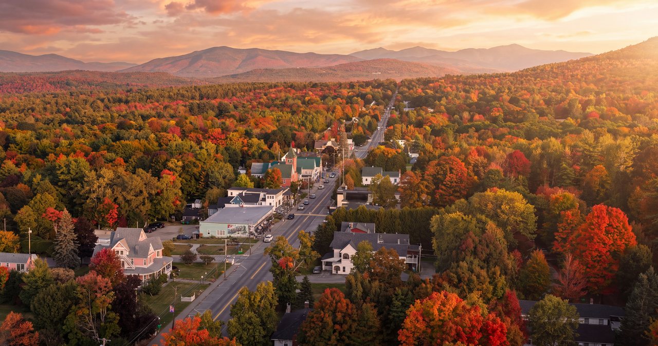
Foliage season is the showpiece and the crowd. Color usually starts high, at treeline, in the last week of September, then fills down into the notches through early October, with the western side of the range often turning first. Peak in any given year moves with the weather, so watch a foliage tracker as your dates approach. The move in leaf season is simple: go early. Get on Bear Notch or up Route 302 in the morning and you'll have the overlooks to yourself while the afternoon crowd is still finishing breakfast. Our guide to the best fall foliage drives lays out which roads peak when.
The other seasons have their own case. Summer is quieter on these roads than most people expect, and it's moose season on Route 3 and Route 112 and the easiest time to send a nervous driver over Bear Notch. Late spring, once Bear Notch reopens and before the tour buses start, is a sleeper: the waterfalls are at full volume from snowmelt and you'll have the notches nearly to yourself. Winter narrows the options, so do the Kancamagus and Route 302, which stay open and are stunning under snow, and leave Bear Notch for next year.
Whenever you come, these drives are the easiest good day we know how to point you toward: low effort, high payoff, and never far from the house. When you've settled on dates, you can check availability and book direct, and if you're not sure which road to point the car down on a given morning, just message us. We drive them all year, and we're happy to say where the light and the color have been best.
— Launchpoint Lodge, From the lodge